Rainbow Bay
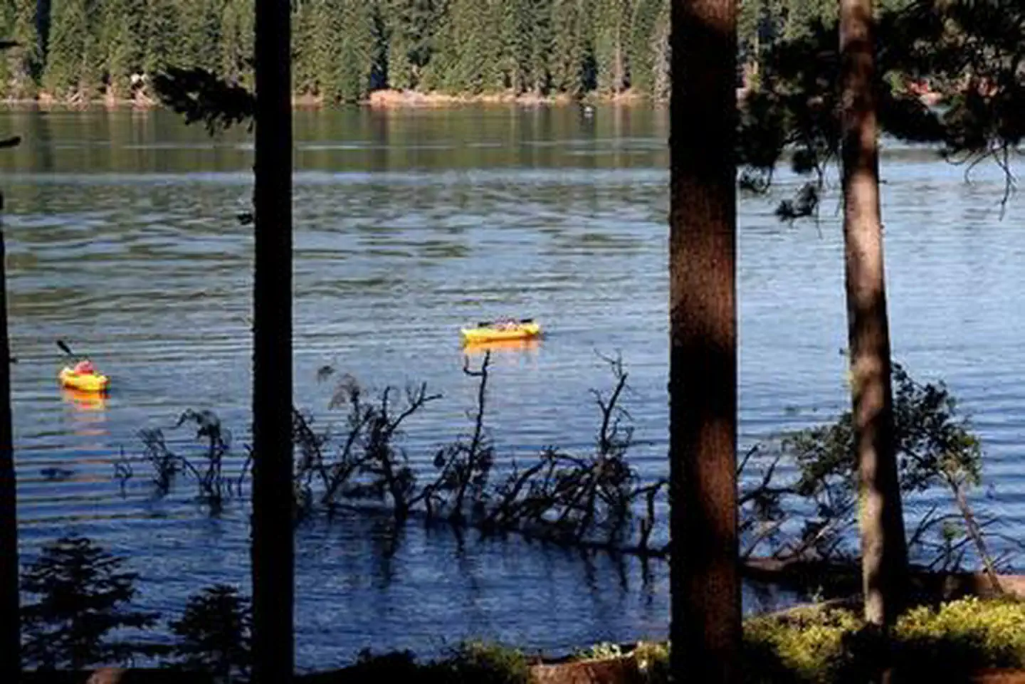
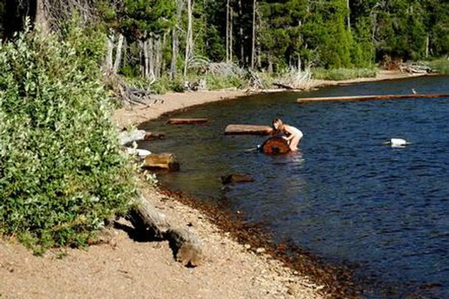
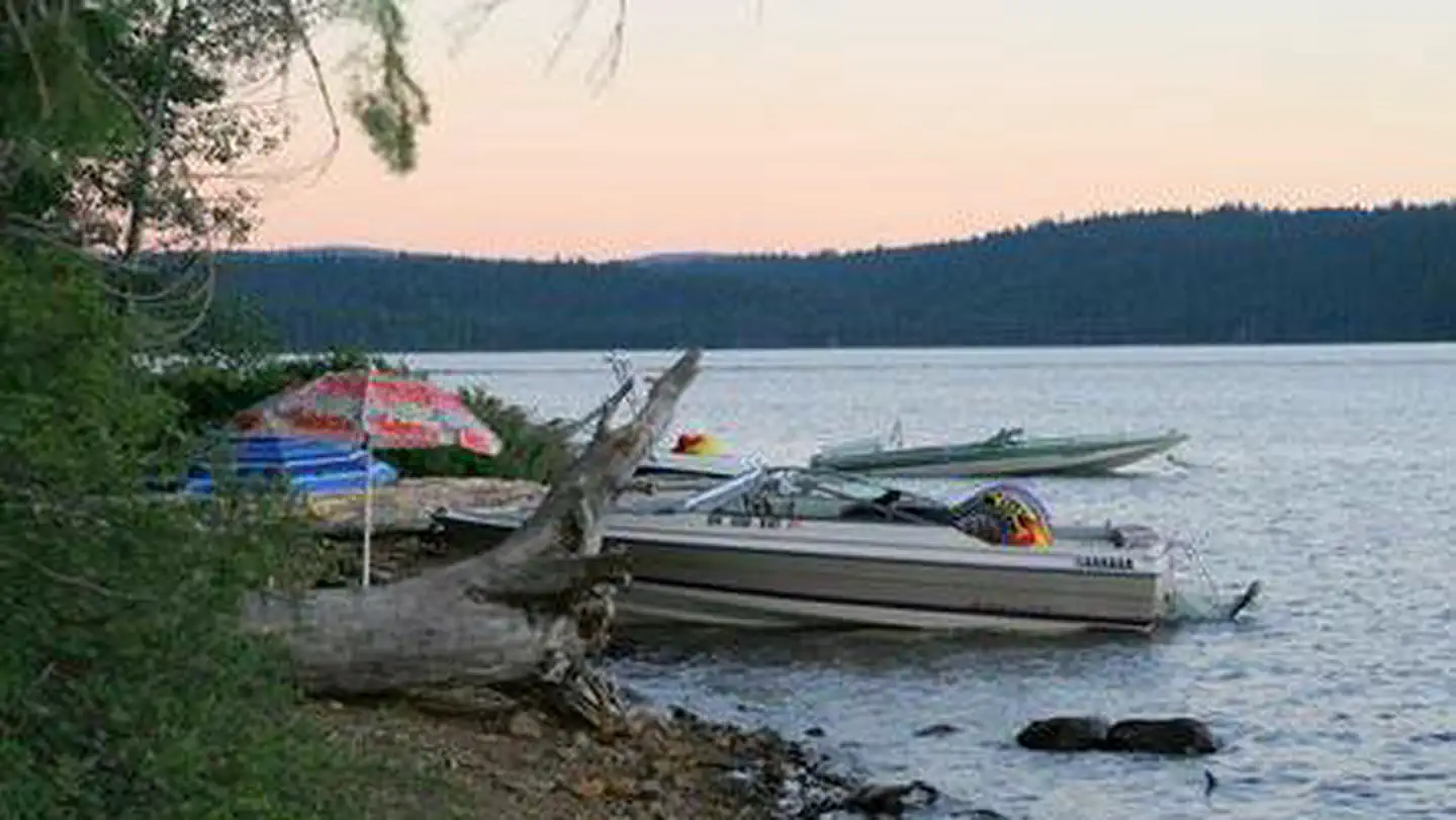
Rainbow Bay sits on the banks of scenic Lake of the Woods in close proximity to several wilderness areas. This group picnic site offers visitors opportunities to enjoy the serenity of the area while taking advantage of the multitude of recreational opportunities it has to offer. Visitors enjoy hiking on trails leading into towering conifer forests, picnicking at the beach or paddling a canoe along the shore at sunset.
More like this: reservable in Oregon · pets allowed in Oregon · group sites in Oregon
Check availability on Recreation.gov ↗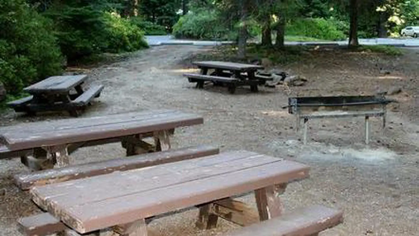
Site mix
| Group sites | 1 |
Site guide
1 site. Tap a filter to narrow the list; the map follows.
| Site | Entry | Surface | Shade | People / vehicles | Accessible |
|---|---|---|---|---|---|
| GS1 | Back-in | Paved | Full | 95 / 21 | Yes |
Per-site records as published by the managing agency on Recreation.gov. Blank cells mean the agency listed nothing for that site. Check-in 8:00 AM, checkout 8:00 PM.
Amenities & rules
| Max vehicle length | 21 ft |
| Pets | Allowed |
| Accessibility | Site GS1 is listed accessible |
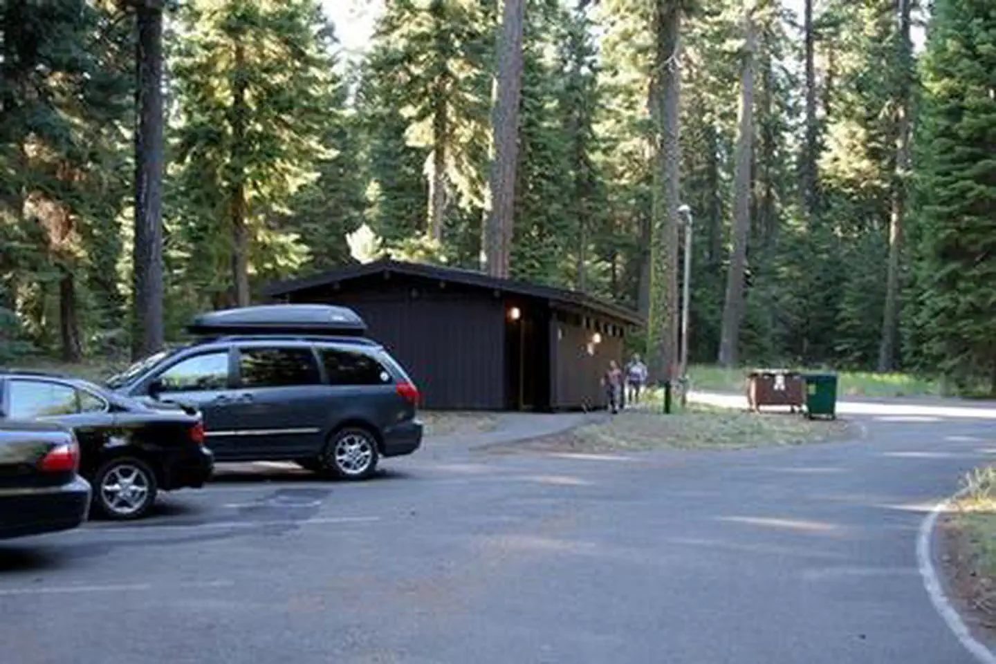
The site is equipped with several picnic tables, extended barbeque grills, drinking water and flush toilets. There is a boat ramp area and large beach area near this site. A nearby resort offers visitors basic amenities, lodging and dining.
Individual sites vary. Confirm on Recreation.gov or with the managing office.
Weather by month
Getting there
From Klamath Falls travel 33 miles northwest on Highway 140. Turn south on Forest Road 3701 and continue.6 miles to the campground.
| Nearest town | Klamath, Oregon |
| Coordinates | 42.3776° N, 122.2081° W · Directions ↗ |
Fire nearby
- PrescribedRx Long Prairie
46 mi from the campground · 112 acres
Distance is to the reported incident point, not the fire edge. Call the managing office before you drive.
Supplies & services
| Outdoor gear | The Ledge Outdoor Store ↗ | 24.3 mi |
| Dump station | Dump station ↗ | 25.1 mi |
| RV sales & service | Blue Compass RV ↗ | 32.4 mi |
Locations © OpenStreetMap contributors. Call ahead; hours change seasonally.
Explore
Worth a stop
The Crater Lake National Park is a popular attraction, where visitors can learn about its unique natural and cultural history. At 1,943 feet deep, Crater Lake is the deepest lake in the United States and one of the ten deepest lakes in the world. Visitors also enjoy the 172 miles of diverse river and mountain landscapes along the Rogue-Umpqua National Scenic Byway. The scenic drive travels from rolling oak-covered hills and towering coniferous forests to roaring white water rapids and incised intercanyon lava flows. The highway travels alongside the Upper Rogue and North Umpqua Wild and Scenic Rivers that contain world-class fisheries.
- 5.7 miFish Lake Picnic Site ↗Day use
- 6.7 miBrown Mountain South Trailhead ↗Trailhead
- 6.7 mi
Trails nearby
- 0.1 miMountain Lakes ↗6.3 mi trail · hiking, horse, bike
- 0.1 miFamily Loop Nordic1.9 mi trail · snowshoe, ski
- 0.1 miFamily Loop Bike1.9 mi trail · hiking, horse, bike
- 0.2 miResort Snomo ↗5.4 mi trail · snowmobile, snowshoe, ski
- 0.6 miSunset Cg1.8 mi trail · hiking, horse, bike
- 0.6 miSunset Nordic1.8 mi trail · snowshoe, ski
Trailheads within three miles
- 0.9 miMountain Lakes Trailhead ↗Fremont-Winema National Forest · Season 06/25 to 09/30
Trail and trailhead records are the Forest Service's. Distances are straight-line to the nearer trail end. Trail conditions are not tracked here.
Public land it sits in
Mountain Lakes Wilderness begins about 2.1 miles away, and it is the closest of these.
- 2.1 miMountain Lakes Wilderness ↗Wilderness · Forest Service · 23,036 acres
- 9.2 miSky Lakes Wilderness ↗Wilderness · Forest Service · 113,571 acres
- 11 miUpper Klamath National Wildlife Refuge ↗National Wildlife Refuge · Fish and Wildlife Service · 28,759 acres
Each unit is published as a centre point and an acreage rather than a boundary, so this section stands it in for a circle of the same area. Whether a campground is inside, and how far it is from one it is outside, are both approximate.
Other campgrounds nearby
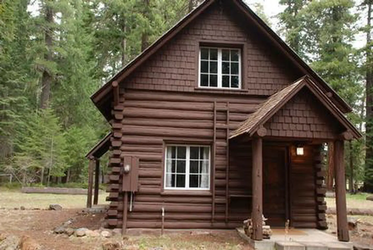
Cabin and lookout rentals nearby
On the National Register nearby
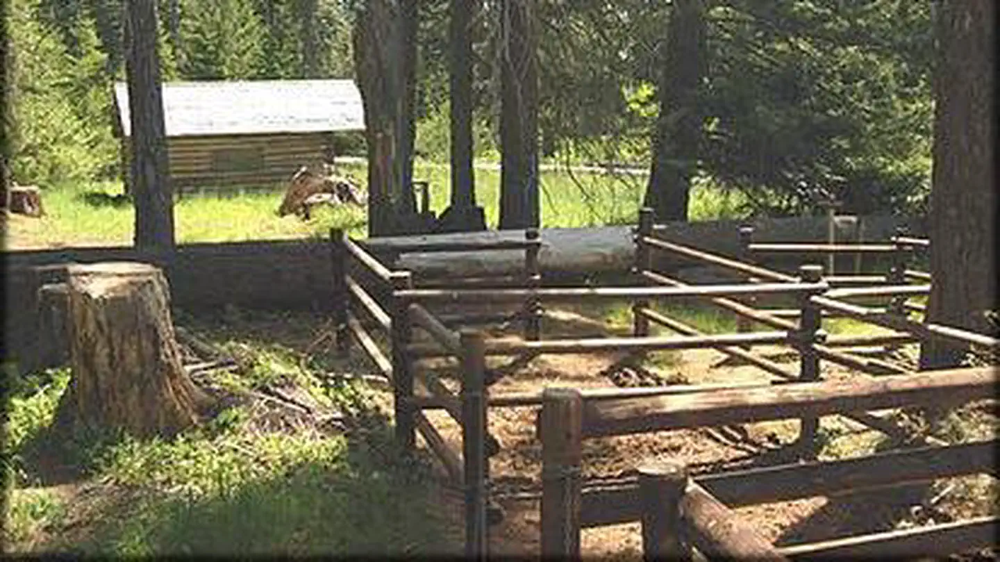
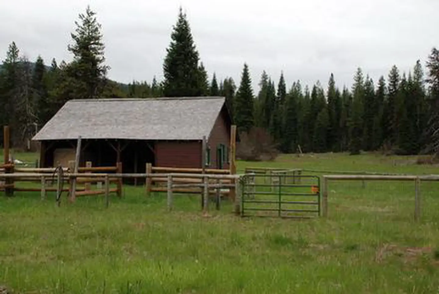
- Lake of the Woods Ranger Station–Work CenterBuilding · Klamath Falls · 1.1 mi
- Fish Lake ShelterStructure · Ashland · 5.7 mi
- Big Elk Guard StationBuilding · Ashland · 7.8 mi
Natural features
Fremont National Forest is hemmed in by towering snow-capped peaks and wide-open sage basins. The nearby Sky Lakes Wilderness, designated by Congress in 1984, is a land of lakes, rocky ridges and timbered slopes. It is approximately 6 miles wide and 27 miles long, with elevations ranging from 3,800 feet in the canyon of the Middle Fork of the Rogue River to a lofty 9,495 feet at the top of Mount McLoughlin. More than 200 pools of water, from mere ponds to lakes of 30 to 40 acres, dot the landscape. Wildlife viewing is plentiful in the area, as diverse habitats support a variety of species. Large mammals, such as mule deer, Rocky Mountain elk and pronghorn antelope, find homes in the forests, while several varieties of trout inhabit lakes and streams. In the spring and fall, migrating geese, ducks and swans frame the Oregon sky. Black bears, mountain lions and bobcats also find homes in the forest.
Recreation
Rainbow Bay offers a great location for picnicking, fishing, swimming and boating. In the winter months visitors can take advantage of skiing, snowshoeing and snowmobiling. Anglers enjoy fishing from shoreline or boat for rainbow and brown trout, Kokanee salmon, bass and perch. Family picnics, playing on the beach, swimming, kayaking and canoeing are wonderful ways to spend a warm afternoon along the waterfront.
Guidebooks for Oregon
We earn a small commission if you buy through these links. It does not change what we list.

Titles come from Open Library's catalog, matched by subject heading or by title.
Reference
Questions people ask
Do I need a reservation at Rainbow Bay?
Sites at Rainbow Bay are reservable on Recreation.gov. Any walk-up sites are listed on the booking page.
Source: Recreation.gov
What time is check-in at Rainbow Bay?
Check-in 8:00 AM, checkout 8:00 PM.
Source: Recreation.gov
How many sites does Rainbow Bay have?
1 site, including 1 group site.
Source: Recreation.gov
Will my RV fit at Rainbow Bay?
The longest site here provides 21 feet of vehicle capacity. Most sites are shorter. The sidebar tool checks a trailer or motorhome length against every site.
Source: Will my RV fit
Are there showers or a dump station at Rainbow Bay?
The site is equipped with several picnic tables, extended barbeque grills, drinking water and flush toilets.
Source: Recreation.gov
Are pets allowed at Rainbow Bay?
Yes, pets are allowed at Rainbow Bay. Leash rules apply.
Source: Recreation.gov
Are there accessible sites at Rainbow Bay?
Site GS1 is listed accessible on Recreation.gov. What that covers (a paved pad, an accessible table, a nearby accessible restroom) is on each site's booking page.
Source: Recreation.gov
Is there cell service at Rainbow Bay?
FCC coverage maps show Verizon 4G LTE, AT&T 4G LTE, and T-Mobile 4G LTE at the campground point. Terrain changes that from one site to the next.
Source: FCC Broadband Map
What is there to do at Rainbow Bay?
Rainbow Bay offers a great location for picnicking, fishing, swimming and boating. The Recreation section on this page has the rest.
Source: Recreation
What is the nearest town to Rainbow Bay?
Klamath, Oregon. The Crater Lake National Park is a popular attraction, where visitors can learn about its unique natural and cultural history.
Source: Getting there
What if Rainbow Bay is full?
The nearest public campgrounds are Aspen Point (0.5 mi), Sunset (0.7 mi), and Fish Lake Campground (5.7 mi, partly first-come).
Source: Campgrounds nearby