Potato Hills South
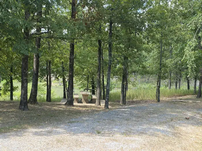
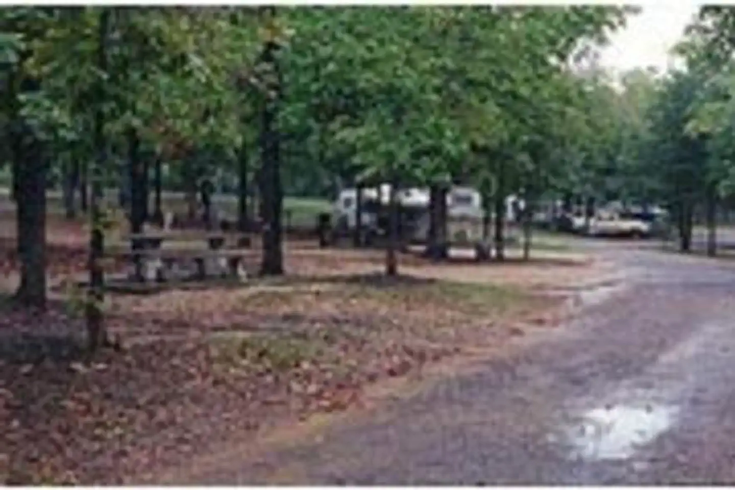
Located on the shoreline of Sardis Lake in beautiful southeast Oklahoma, Potato Hills South Campground offers outdoor recreation activities for all interests, whether its water sports in the expansive lake or hiking in the nearby Quachita Mountains.
More like this: electric hookups in Oklahoma · reservable in Oklahoma · big rigs in Oklahoma · pets allowed in Oklahoma · group sites in Oklahoma
Check availability on Recreation.gov ↗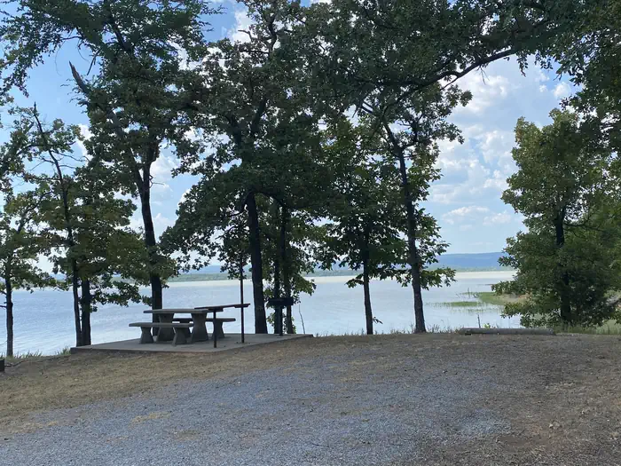


active
Site mix
| Standard, no hookups | 18 |
| group shelter electric | 2 |
Site guide
Will my RV fit
The longest site here provides 84 feet of vehicle capacity. Most sites are shorter.
20 sites. Tap a filter to narrow the list; the map follows.
| Site | Type | Entry | Fits, ft | Surface | Shade | Power | People / vehicles | Fires | Accessible |
|---|---|---|---|---|---|---|---|---|---|
| 001 | Standard | Back-in | 72 | Gravel | Full | No | 8 / 3 | Yes | |
| 002 | Standard | Back-in | 67 | Gravel | Full | No | 8 / 3 | Yes | |
| 003 | Standard | Back-in | 54 | Gravel | Partial | No | 8 / 3 | Yes | |
| 004 | Standard | Back-in | 69 | Gravel | Partial | No | 8 / 3 | Yes | |
| 005 | Standard | Back-in | 70 | Gravel | Partial | No | 8 / 3 | Yes | |
| 006 | Standard | Back-in | 68 | Gravel | Partial | No | 8 / 3 | Yes | |
| 007 | Standard | Back-in | 76 | Gravel | Partial | No | 8 / 3 | Yes | |
| 008 | Standard | Back-in | 72 | Gravel | Partial | No | 8 / 3 | Yes | |
| 009 | Standard | Back-in | 52 | Gravel | Partial | No | 8 / 3 | Yes | |
| 010 | Standard | Back-in | 66 | Gravel | Partial | No | 8 / 3 | Yes |
Per-site records as published by the managing agency on Recreation.gov. Blank cells mean the agency listed nothing for that site. Check-in 6:00 PM, checkout 4:00 PM.
Amenities & rules
| Hookups | Electric, water |
| Max vehicle length | 84 ft |
| Equipment | RVs & trailers, Tents |
| Pets | Allowed |
| Campfires | Allowed, subject to restrictions |
| Accessibility | Sites GDS-A, GDS-B are listed accessible |
Boat ramps are available for visitors, as well as a picnic area and playground that provide an ideal setting for parties or family get-togethers.
Individual sites vary. Confirm on Recreation.gov or with the managing office.
Weather by month
Getting there
From US-69, turn south on Indian Nations Turnpike and continue approximately 26 miles. Turn east on State Highway 43 to Sardis Lake Office, and after about 33 miles turn north on State Highway 2 and continue two miles to the campsite.
| Nearest town | Clayton, Oklahoma |
| Coordinates | 34.6250° N, 95.3250° W · Directions ↗ |
Fire nearby
- WildfireLake
36 mi from the campground · 105 acres · 50% contained
Distance is to the reported incident point, not the fire edge. Call the managing office before you drive.
Supplies & services
| Dump station | Dump station ↗ | 24.7 mi |
| RV sales & service | RV sales & service ↗ | 58.6 mi |
Locations © OpenStreetMap contributors. Call ahead; hours change seasonally.
Explore
Video
A Virtual Tour Of Potato Hills South Campground On Sardis Lake
Other campgrounds nearby

On the National Register nearby
- TuskahomaBuilding · Tuskahoma · 2.7 mi
- Clayton High School–AuditoriumBuilding · Clayton · 3 mi
- Frisco Railroad DepotBuilding · Clayton · 3 mi
Natural features
Sardis Lake is a reservoir fed by the waters of Jackfork Creek, a tributary of the Kiamichi river in the scenic foothills of the Ouachita Mountains. Hunters and wildlife enthusiasts will enjoy visiting the public hunting and wildlife propagation areas near Sardis Lake, which have been set aside on more than 8,000 acres of undeveloped land.
Recreation
Sardis Lake is known for its fishing, producing several of Oklahoma's largest species of bass. Fishing enthusiasts can also expect to catch crappie, catfish and walleye. Boating, water sports and hiking top the list of recreational opportunities at the lake.
Nearby
Additional camping is also available at Potato Hills Central Campground. Nature trails are accessible near the campsite.
Guidebooks for Oklahoma
We earn a small commission if you buy through these links. It does not change what we list.
Titles come from Open Library's catalog, matched by subject heading or by title.
Reference
Questions people ask
Do I need a reservation at Potato Hills South?
Sites at Potato Hills South are reservable on Recreation.gov. Any walk-up sites are listed on the booking page.
Source: Recreation.gov
What time is check-in at Potato Hills South?
Check-in 6:00 PM, checkout 4:00 PM.
Source: Recreation.gov
How many sites does Potato Hills South have?
20 sites, including 18 standard sites without power and 2 group shelter electric.
Source: Recreation.gov
Will my RV fit at Potato Hills South?
Recreation.gov lists no practical vehicle capacity limit for the largest site here, which usually means pull-through or open parking. The sidebar tool checks a trailer or motorhome length against every site.
Source: Will my RV fit
Does Potato Hills South have hookups?
Yes, electric and water hookups at some sites.
Source: Recreation.gov
Are pets allowed at Potato Hills South?
Yes, pets are allowed at Potato Hills South. Leash rules apply.
Source: Recreation.gov
Can I have a campfire at Potato Hills South?
Fires are allowed in the provided rings under normal conditions. As of 2026-10-16, there is 1 active fire within 50 miles, so check current restrictions before you light one.
Source: Fire nearby
Are there accessible sites at Potato Hills South?
Sites GDS-A and GDS-B are listed accessible on Recreation.gov. What that covers (a paved pad, an accessible table, a nearby accessible restroom) is on each site's booking page.
Source: Recreation.gov
Is there cell service at Potato Hills South?
FCC coverage maps show AT&T 4G LTE at the campground point. Terrain changes that from one site to the next.
Source: FCC Broadband Map
What is there to do at Potato Hills South?
Sardis Lake is known for its fishing, producing several of Oklahoma's largest species of bass. The Recreation section on this page has the rest.
Source: Recreation
What is the nearest town to Potato Hills South?
Clayton, Oklahoma. Additional camping is also available at Potato Hills Central Campground.
Source: Getting there
What if Potato Hills South is full?
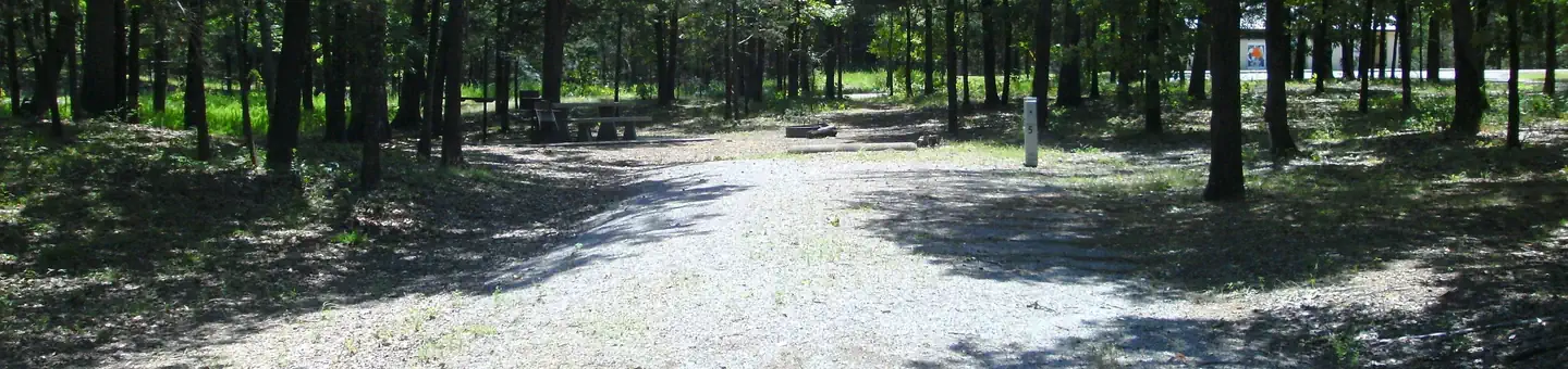
The nearest public campgrounds are Potato Hills Central (under 0.1 mi), Turkey Creek (30.5 mi), and Lost Rapids (33.4 mi).
Source: Campgrounds nearby