Salthouse Branch
Salthouse Branch Campground is nestled on the shores of Philpott Lake in the rugged foothills of Virginia's Blue Ridge Mountains. The park is located in a rural and sparsely populated part of Franklin County near the small community of Henry. Philpott Lake's clear water and natural shoreline make it a unique place for visitors to enjoy boating, fishing, hiking, picnicking and camping. erdc.dren.mil/visitors/virtual/philpott/tour.html
More like this: electric hookups in Virginia · reservable in Virginia · big rigs in Virginia · pets allowed in Virginia
Check availability on Recreation.gov ↗


Site mix
| Standard with electric | 43 |
| Tent-only | 32 |
| Boat-in | 21 |
| Standard, no hookups | 14 |
| Host/management | 1 |
Site guide
Will my RV fit
The longest site here provides 76 feet of vehicle capacity. Most sites are shorter.
110 sites in 5 loops. Tap a filter to narrow the list; the map follows.
| Site | Loop | Type | Entry | Fits, ft | Surface | Shade | Power | Water / sewer | People / vehicles | Fires | Accessible |
|---|---|---|---|---|---|---|---|---|---|---|---|
| 1D-21D1 | DISL | Boat-in | No | ||||||||
| 1D-21D2 | DISL | Boat-in | No | ||||||||
| 1D-21D3 | DISL | Boat-in | No | ||||||||
| 1D-21D4 | DISL | Boat-in | No | ||||||||
| 1D-21D5 | DISL | Boat-in | No | ||||||||
| 1D-21D6 | DISL | Boat-in | No | ||||||||
| 1D-21D7 | DISL | Boat-in | No | ||||||||
| 1D-21D8 | DISL | Boat-in | No | ||||||||
| 1D-21D9 | DISL | Boat-in | No | ||||||||
| 1D-21D10 | DISL | Boat-in | No |
Per-site records as published by the managing agency on Recreation.gov. Blank cells mean the agency listed nothing for that site.
Amenities & rules
| Hookups | Electric, water |
| Max vehicle length | 90 ft |
| Equipment | RVs & trailers, Tents |
| Pets | Allowed |
| Campfires | Allowed, subject to restrictions |
| Accessibility | Site 033 is listed accessible |
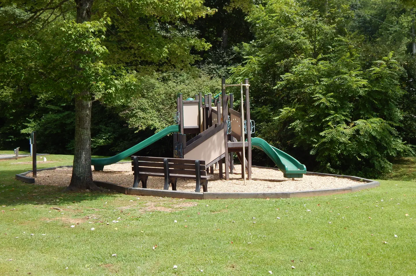
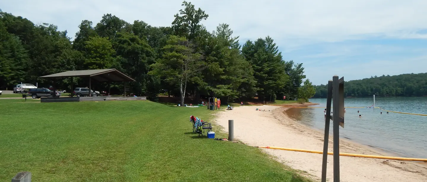
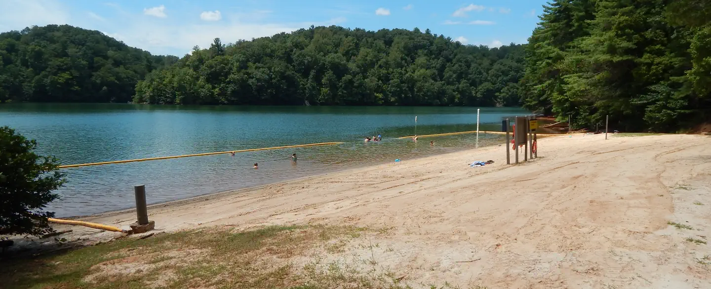
The park offers both camping and day-use facilities, including 44 family sites with electric and water hookups and one group picnic shelter with electric and water. Also available are 46 primitive sites without utilities. Amenities include flush toilets, showers, drinking water and a dump station. A beach, boat ramp, dock, playground, and amphitheater are also on-site.
Individual sites vary. Confirm on Recreation.gov or with the managing office.
Weather by month
Getting there
From US 220, turn onto Henry Road (SR-605), go 6 miles; turn left onto Knob Church Road and go 2 miles. Turn left onto Salthouse Branch Road and follow signs to the entrance. GPS Users: Do not use SR-727 (Stoney Brook Lane) or SR-894 (Johnson Hill Road).
| Nearest town | Henry, Virginia |
| Coordinates | 36.8136° N, 80.0400° W · Directions ↗ |
Supplies & services
| Dump station | Dump station ↗ | 2.9 mi |
| Outdoor gear | Fire Rescue and Tactical ↗ | 31.1 mi |
| RV sales & service | Halesford Harbour Marine and RV Service ↗ | 35.4 mi |
Locations © OpenStreetMap contributors. Call ahead; hours change seasonally.
Explore
Video
Camping In Virginia Review Salthouse Branch Camp Ground Henry Virginia
Other campgrounds nearby
On the National Register nearby
- R.L. Stone HouseBuilding · Bassett · 4.9 mi
- Goblintown MillBuilding · Stuart · 6.8 mi
- EdgewoodBuilding · Stanleytown · 7 mi
Natural features
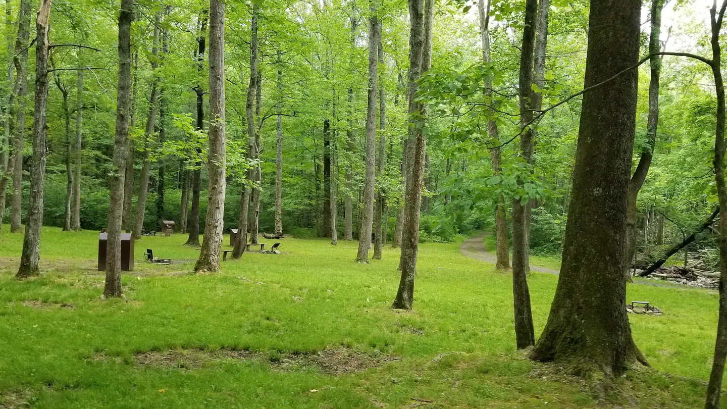
Philpott Lake covers 2,900 acres and has 100 miles of shoreline. The lake's steep, rocky banks meet beautiful mixed forests of oak, maple, hickory, pine and cedar. Wildlife is abundant throughout the area. Deer, turkeys, squirrels, raccoons, and a variety of songbirds and waterfowl are commonly viewed.
Recreation
The lake provides visitors with great boating and swimming opportunities. Anglers enjoy fishing for large and smallmouth bass, walleye, bluegill, crappie and catfish. There are two hiking trails accessible from the park. The Dogwood Glen trail is a 4.5 mile out-and-back, multi-use trail open to hikers, mountain bikers, and equestrians. The trail is moderate to strenuous in difficulty and connects Salthouse Branch Park to the Philpott Dam Tailrace. The Laurel Ridge trail is 2.25 miles out-and-back trail open to hikers and mountain bikers. It is moderate in difficulty and connects Salthouse Branch Park to Twin Ridge Park.
Nearby
The lake is adjacent to Fairystone State Park and Fairystone Farms Wildlife Management Area, which includes 5,300 acres of public recreational lands.
Guidebooks for Virginia
We earn a small commission if you buy through these links. It does not change what we list.
Titles come from Open Library's catalog, matched by subject heading or by title.
Reference
Questions people ask
Do I need a reservation at Salthouse Branch?
Sites at Salthouse Branch are reservable on Recreation.gov. Any walk-up sites are listed on the booking page.
Source: Recreation.gov
What time is check-in at Salthouse Branch?
Check-in 3:00 PM, checkout 2:00 PM.
Source: Recreation.gov
How many sites does Salthouse Branch have?
111 sites, including 43 standard sites with power, 32 tent-only sites, 21 boat-in sites, and 14 standard sites without power.
Source: Recreation.gov
Will my RV fit at Salthouse Branch?
Recreation.gov lists no practical vehicle capacity limit for the largest site here, which usually means pull-through or open parking. The sidebar tool checks a trailer or motorhome length against every site.
Source: Will my RV fit
Does Salthouse Branch have hookups?
Yes, electric and water hookups at some sites.
Source: Recreation.gov
Are there showers or a dump station at Salthouse Branch?
Amenities include flush toilets, showers, drinking water and a dump station.
Source: Recreation.gov
Are pets allowed at Salthouse Branch?
Yes, pets are allowed at Salthouse Branch. Leash rules apply.
Source: Recreation.gov
Can I have a campfire at Salthouse Branch?
Fires are allowed in the provided rings under normal conditions.
Source: Recreation.gov
Are there accessible sites at Salthouse Branch?
Site 033 is listed accessible on Recreation.gov. What that covers (a paved pad, an accessible table, a nearby accessible restroom) is on each site's booking page.
Source: Recreation.gov
What is there to do at Salthouse Branch?
The lake provides visitors with great boating and swimming opportunities. The Recreation section on this page has the rest.
Source: Recreation
What is the nearest town to Salthouse Branch?
Henry, Virginia. The lake is adjacent to Fairystone State Park and Fairystone Farms Wildlife Management Area, which includes 5,300 acres of public recreational lands.
Source: Getting there
What if Salthouse Branch is full?
The nearest public campgrounds are Goose Point (1.2 mi), Horseshoe Point (1.9 mi), and Rock Castle Gorge Backcountry Camping (16.4 mi).
Source: Campgrounds nearby