Moutardier
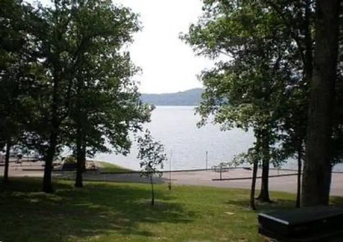
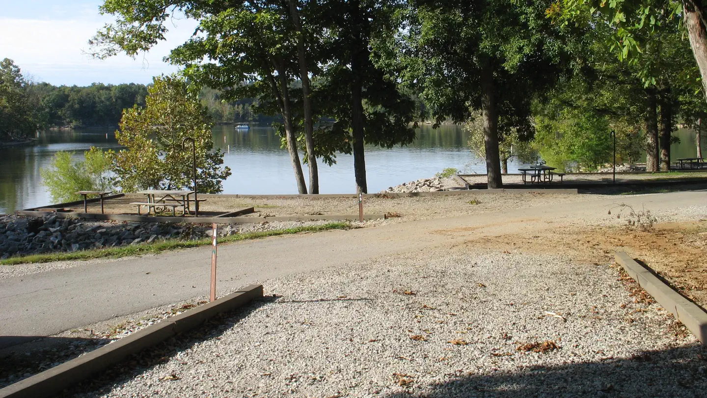
Moutardier Campground sits on the shores of Nolin River Lake in the rolling landscape of southern Kentucky. The large lake and surrounding greenery create a recreational oasis for outdoor enthusiasts.
More like this: electric hookups in Kentucky · full hookups in Kentucky · reservable in Kentucky · big rigs in Kentucky · pets allowed in Kentucky
Check availability on Recreation.gov ↗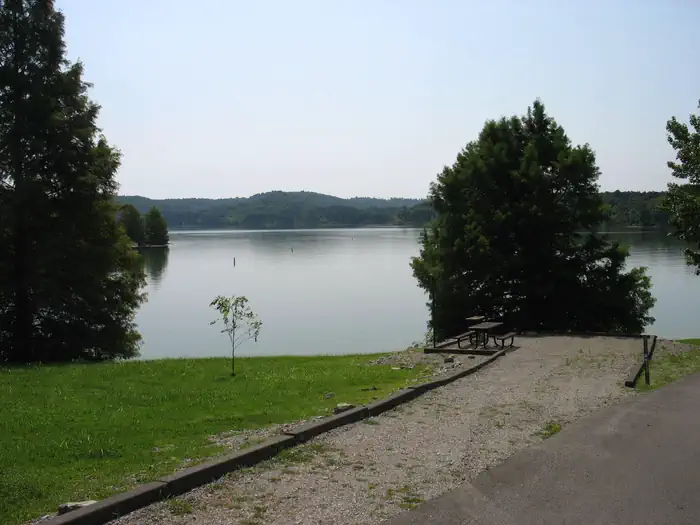

Site mix
| Standard with electric | 106 |
| Standard, no hookups | 58 |
| Host/management | 3 |
Site guide
Will my RV fit
The longest site here provides 100 feet of vehicle capacity. Most sites are shorter.
164 sites in 4 loops. Tap a filter to narrow the list; the map follows.
| Site | Loop | Type | Entry | Fits, ft | Surface | Shade | Power | Water / sewer | People / vehicles | Fires | Accessible |
|---|---|---|---|---|---|---|---|---|---|---|---|
| A003 | A | Standard | Back-in | 60 | Gravel | Partial | No | 6 / 2 | Yes | ||
| A004 | A | Standard | Back-in | 65 | Gravel | No | 6 / 2 | Yes | |||
| A005 | A | Standard | Back-in | 65 | Gravel | Partial | No | 6 / 2 | Yes | ||
| A006 | A | Standard | Back-in | 90 | Gravel | Partial | No | 6 / 2 | Yes | ||
| A007 | A | Standard | Back-in | 65 | Gravel | No | 6 / 2 | Yes | |||
| A008 | A | Standard | Back-in | 65 | Gravel | No | 6 / 2 | Yes | |||
| A009 | A | Standard | Back-in | 70 | Gravel | Partial | No | 6 / 2 | Yes | ||
| A010 | A | Standard | Back-in | 60 | Gravel | No | 6 / 2 | Yes | |||
| A011 | A | Standard | Back-in | 60 | Gravel | No | 6 / 2 | Yes | |||
| A012 | A | Standard | Back-in | 75 | Gravel | No | 6 / 2 | Yes |
Per-site records as published by the managing agency on Recreation.gov. Blank cells mean the agency listed nothing for that site. Check-in 5:00 PM, checkout 4:30 PM.
Amenities & rules
| Hookups | Electric, water, sewer |
| Max vehicle length | 100 ft |
| Equipment | RVs & trailers, Tents |
| Pets | Allowed |
| Campfires | Allowed, subject to restrictions |
| Tent pads | Yes |
| Fees | No refunds for recreation use fees may be made at the project. |
| Accessibility | Sites B008, D015 are listed accessible |
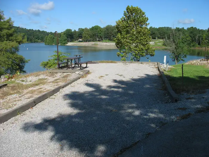
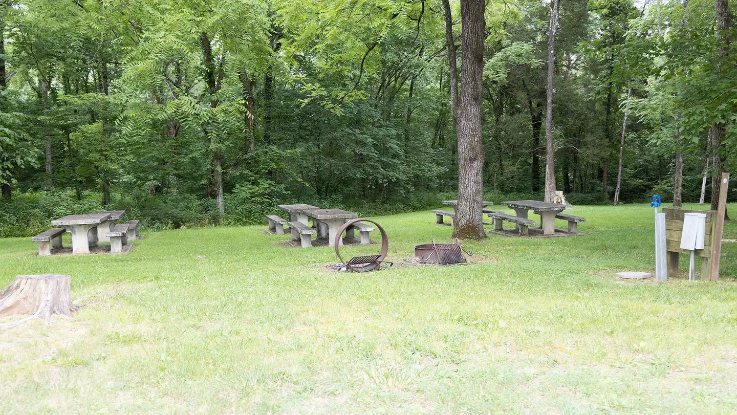
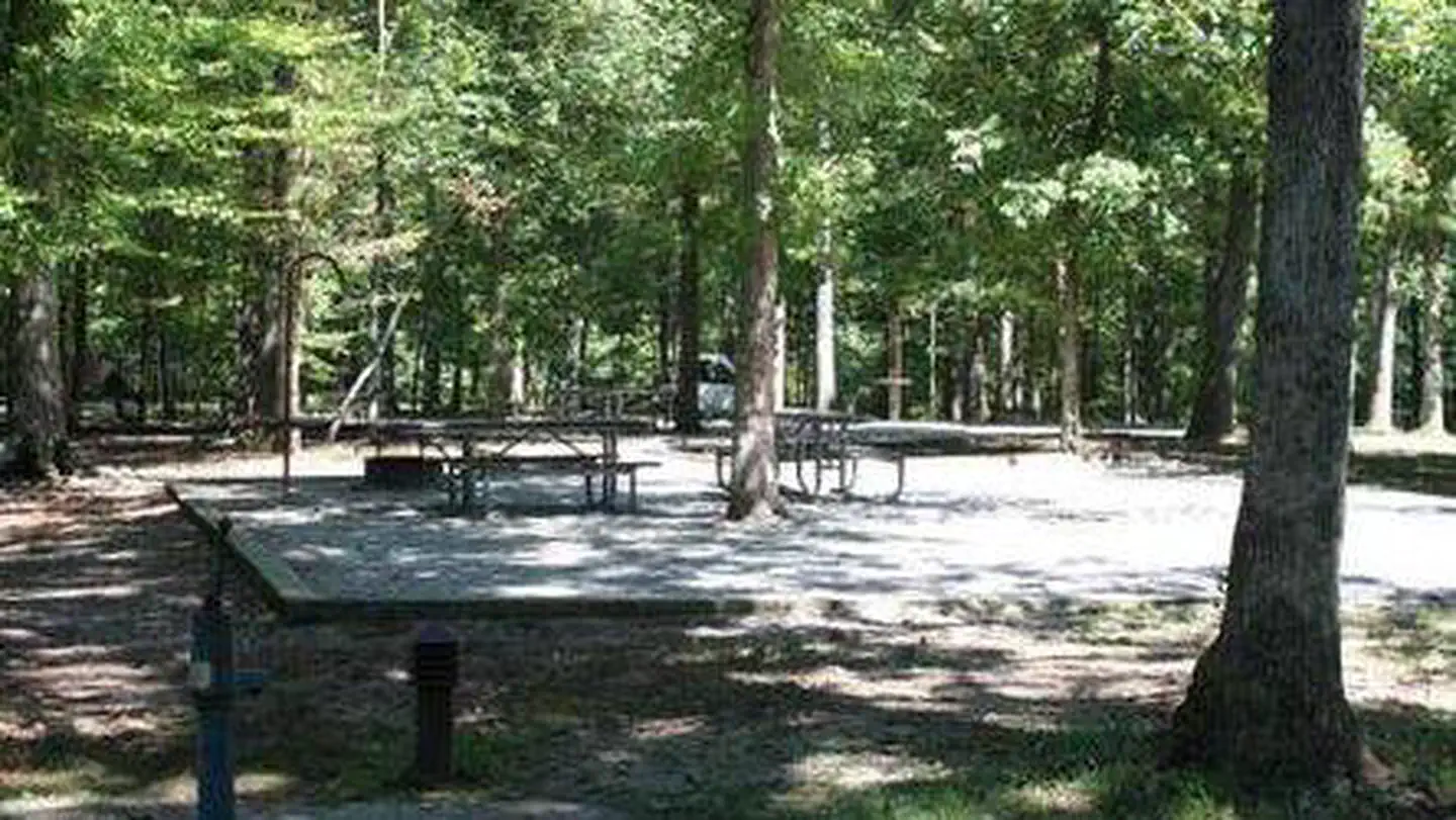
Moutardier Campground offers 167 campsites, complete with modern amenities like electric and water hookups. We have flush toilets and shower houses. Campsites are located along the shoreline allowing easy access to the lake for visitors.
Individual sites vary. Confirm on Recreation.gov or with the managing office.
Weather by month
Getting there
From Bowling Green, KY. Follow US 31W North from Bowling Green for approximately 14 miles then turn left onto KY 101. In appriximately 6 miles, Hwy 101 becomes Hwy 259 North. Follow Hwy259 North for 16 miles before turning right on KY 2067. Drive approximately 2 miles and you'll see signs for the Moutardier Campground on the right.
| Nearest town | Leitchfield, Kentucky |
| Coordinates | 37.3164° N, 86.2331° W · Directions ↗ |
Charges and cancellations
Once your reservation has been created, there will be a $10.00 fee to cancel and a $10.00 fee to change your sites or dates. Cancellations made the day before, or up to the day after your arrival date will also be charged the first nights use fee. No-Shows are charged a $20.00 fee plus the first nights use fee. If your reservation is for 1 night, and you have been charged the first nights use fee, there is no $10.00 service fee.
Supplies & services
| Dump station | Dump station ↗ | 0.1 mi |
| Outdoor gear | Vance Outdoor Power Equipment ↗ | 27.9 mi |
| RV sales & service | RV sales & service ↗ | 59.3 mi |
Locations © OpenStreetMap contributors. Call ahead; hours change seasonally.
Explore
Video
Nolin Lake and Moutardier Campground
Other campgrounds nearby
On the National Register nearby
- Good Spring Baptist Church and CemeteryBuilding · Mammoth Cave · 8.8 mi
- Reed–Dorsey HouseBuilding · Brownsville · 8.8 mi
- St. Augustine Catholic ChurchBuilding · Grayson Springs · 9.3 mi
Natural features
Nolin Dam creates a 5,795-acre lake that draws more than two million visitors each year to enjoy water sports and camping in the surrounding expanse of rolling forest.
Recreation
Known for its unique blue/green water, Nolin Lake is one of the top lakes in Kentucky for catfish, bass, crappie and walleye fishing. Visitors can enjoy scenic canoe and boat trips along the river, part of which is located within Mammoth Cave National Park. Boat ramps are provided around the lake for campers' convenience. The Moutardier, Ponderosa and Wax Marinas are located around the lake and offer pontoon and john boat rentals, as well as boat slips and groceries, bait, gas and more. Several hiking trails also wind along the shoreline and into the surrounding forest. Shady Creek Trail, located within the recreation area, is known for its array of wildflowers and greenery.
Nearby
Mammoth Cave National Park is located a short drive or ferry ride away from the campground, and several golf courses and riding stables are located around the lake.
Guidebooks for Kentucky
We earn a small commission if you buy through these links. It does not change what we list.
Titles come from Open Library's catalog, matched by subject heading or by title.
Reference
Questions people ask
Do I need a reservation at Moutardier?
Sites at Moutardier are reservable on Recreation.gov. Any walk-up sites are listed on the booking page.
Source: Recreation.gov
How much does it cost to camp at Moutardier?
No refunds for recreation use fees may be made at the project.
Source: Recreation.gov
What time is check-in at Moutardier?
Check-in 5:00 PM, checkout 4:30 PM.
Source: Recreation.gov
What does it cost to cancel a reservation at Moutardier?
Once your reservation has been created, there will be a $10.00 fee to cancel and a $10.00 fee to change your sites or dates.
Source: Charges and cancellations
How many sites does Moutardier have?
167 sites, including 106 standard sites with power and 58 standard sites without power.
Source: Recreation.gov
Will my RV fit at Moutardier?
Recreation.gov lists no practical vehicle capacity limit for the largest site here, which usually means pull-through or open parking. The sidebar tool checks a trailer or motorhome length against every site.
Source: Will my RV fit
Does Moutardier have hookups?
Yes, electric, water, and sewer hookups at some sites.
Source: Recreation.gov
Are there showers or a dump station at Moutardier?
We have flush toilets and shower houses.
Source: Recreation.gov
Are pets allowed at Moutardier?
Yes, pets are allowed at Moutardier. Leash rules apply.
Source: Recreation.gov
Can I have a campfire at Moutardier?
Fires are allowed in the provided rings under normal conditions.
Source: Recreation.gov
Are there accessible sites at Moutardier?
Sites B008 and D015 are listed accessible on Recreation.gov. What that covers (a paved pad, an accessible table, a nearby accessible restroom) is on each site's booking page.
Source: Recreation.gov
Is there cell service at Moutardier?
FCC coverage maps show Verizon 5G, AT&T 4G LTE, and T-Mobile 5G at the campground point. Terrain changes that from one site to the next.
Source: FCC Broadband Map