Denby Point
Groups and families of all sizes come to camp at Denby Point for its scenic views, year-round fishing and convenient boating facilities. The campground promises to entertain jet skiers, boaters, hikers and birders alike.
More like this: electric hookups in Arkansas · full hookups in Arkansas · reservable in Arkansas · pets allowed in Arkansas · group sites in Arkansas
Check availability on Recreation.gov ↗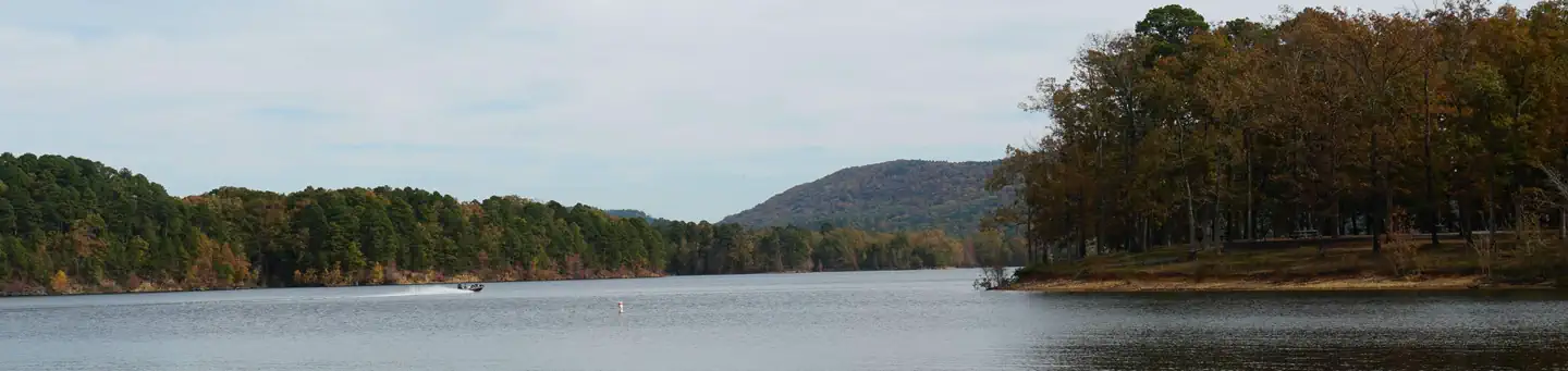
Site mix
| Standard with electric | 56 |
| tent only electric | 6 |
| Tent-only | 3 |
| group standard electric | 2 |
| Host/management | 15 |
Site guide
Will my RV fit
The longest site here provides 70 feet of vehicle capacity. Most sites are shorter.
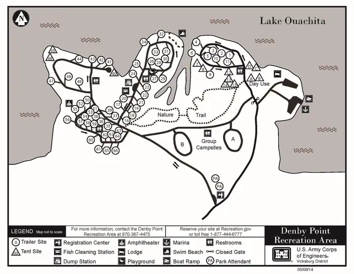
67 sites in 4 loops. Tap a filter to narrow the list; the map follows.
| Site | Loop | Type | Entry | Fits, ft | Surface | Shade | Power | Water / sewer | People / vehicles | Fires |
|---|---|---|---|---|---|---|---|---|---|---|
| A | A | Group Standard Electric | Back-in | 45 | Gravel | Full | 50/30/20 amp | Yes / – | 125 / 2 | Yes |
| 01 | A | Electric | Back-in | 55 | Paved | Partial | 50/30/20 amp | Yes / – | 12 / 2 | Yes |
| 02 | A | Electric | Back-in | 50 | Paved | Full | 50/30/20 amp | Yes / – | 12 / 2 | Yes |
| 03 | A | Electric | Back-in | 50 | Paved | Partial | 50/30/20 amp | Yes / – | 12 / 2 | Yes |
| 04 | A | Electric | Back-in | 30 | Paved | Partial | 50/30/20 amp | Yes / – | 12 / 2 | Yes |
| 05 | A | Electric | Back-in | 60 | Paved | Partial | 50/30/20 amp | Yes / – | 12 / 2 | Yes |
| 06 | A | Electric | Back-in | 40 | Paved | Full | 50/30/20 amp | Yes / – | 12 / 2 | Yes |
| 07 | A | Tent Only Electric | Gravel | Full | 30/20 amp | 12 / 2 | Yes | |||
| 08 | A | Tent Only Electric | Gravel | Full | 30/20 amp | 12 / 2 | Yes | |||
| 09 | A | Electric | Back-in | 70 | Paved | Full | 50/30/20 amp | Yes / – | 12 / 2 | Yes |
Per-site records as published by the managing agency on Recreation.gov. Blank cells mean the agency listed nothing for that site. Check-in 6:00 PM, checkout 4:00 PM.
Amenities & rules
| Hookups | Electric, water, sewer |
| Max vehicle length | 20 ft |
| Equipment | RVs & trailers, Tents |
| Pets | Allowed |
| Campfires | Allowed, subject to restrictions |
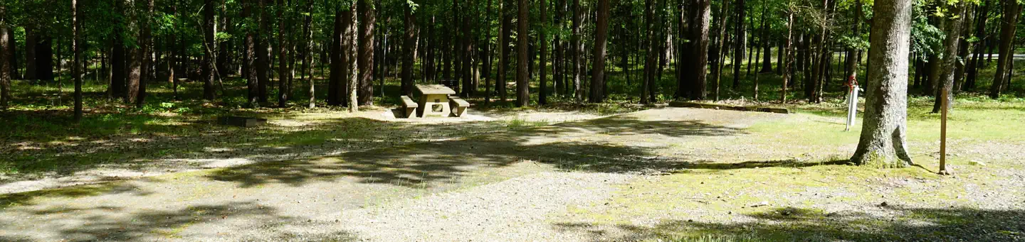
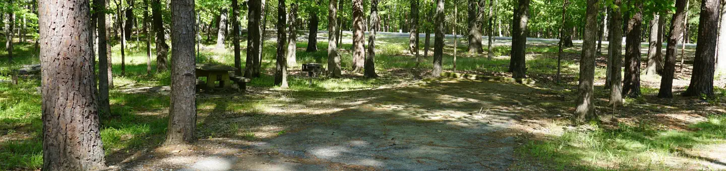
| Tent pads | Yes |
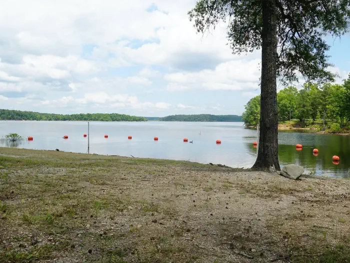
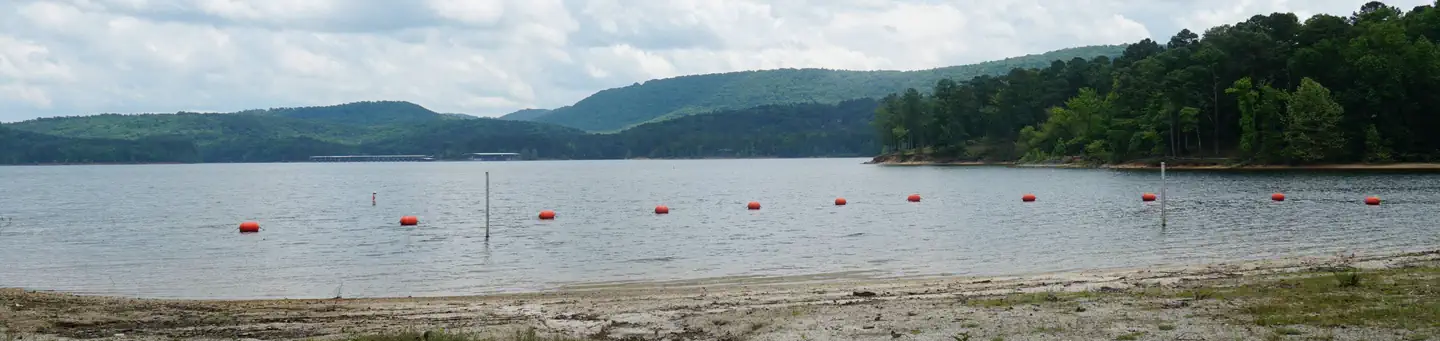
The campground consists of 67 sites including 58 with electric and water hookups. The two group campsites also have electric hookups. Other amenities include a dump station, fish cleaning station, hot showers, boat ramp and a swim beach.
Individual sites vary. Confirm on Recreation.gov or with the managing office.
Weather by month
Getting there
From Hot Springs, Arkansas, take US 270 west about 26.5 miles to Ouachita Shores Parkway. Turn right and follow access road one mile north to park. From Mount Ida, Arkansas, take US 270 east approximately 9.5 miles to Ouachita Shores Parkway. Turn left on access road one mile to park.
| Nearest town | Mt. Ida, Arkansas |
| Coordinates | 34.5456° N, 93.4900° W · Directions ↗ |
Supplies & services
| RV sales & service | Razorback Camper Sales, Inc. ↗ | 22 mi |
| Dump station | Dump station ↗ | 33.2 mi |
Locations © OpenStreetMap contributors. Call ahead; hours change seasonally.
Explore
Video
Denby Point Camping - The Escape We Needed
Worth a stop
Explore Ouachita National Forest's 1.8 million acres, surrounding Lake Ouachita and extending across central Arkansas and southeastern Oklahoma.
- 6.2 miHighway 27 Fishing Village ↗Fishing site
- 11.2 miFulton Branch Day Use ↗Day use
- 13.1 miBrady Mountain Resort And Marina ↗Boat launch
Trails nearby
- 0.5 miLake Ouachita Vista Trail ↗38 mi trail
- 0.8 miLovit - Denby Point Spur0.2 mi trail
- 1.4 miLovit - Holly Spur0.3 mi trail
- 1.8 miLovit - Thompkins Bend Spur0.2 mi trail
- 1.8 miLovit - Eagle Vista Spur1 mi trail
- 4 miLovit - Fire Tower Spur0.3 mi trail
Trail and trailhead records are the Forest Service's. Distances are straight-line to the nearer trail end. Trail conditions are not tracked here.
Public land it sits in
This campground sits inside Ouachita National Forest.
- inOuachita National Forest ↗National Forest · Forest Service · 2,724,422 acres
Each unit is published as a centre point and an acreage rather than a boundary, so this section stands it in for a circle of the same area. Whether a campground is inside, and how far it is from one it is outside, are both approximate.
Other campgrounds nearby

Historic landmarks nearby

Natural features
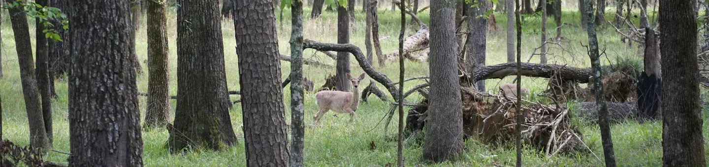
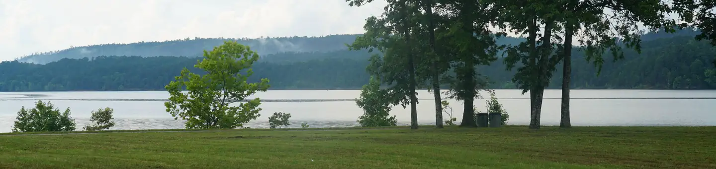
Lake Ouachita sits in the heart of the Ouachita Mountains, just 28 miles west of Hot Springs National Park. The lake stems from the Ouachita River and boasts 692 miles of shoreline and over 40,000 surface acres.
Recreation
World-class striper fishing brings crowds of anglers year-round, and incredibly clear waters attract scuba divers, hoping to explore the flooded forests and mountain valleys below the lake's surface. Hikers take pleasure in the Lake Ouachita Vista Trail (LOViT), which lines the southern end of the lake.
Guidebooks for Arkansas
We earn a small commission if you buy through these links. It does not change what we list.
Titles come from Open Library's catalog, matched by subject heading or by title.
Reference
Questions people ask
Do I need a reservation at Denby Point?
Sites at Denby Point are reservable on Recreation.gov. Any walk-up sites are listed on the booking page.
Source: Recreation.gov
What time is check-in at Denby Point?
Check-in 6:00 PM, checkout 4:00 PM.
Source: Recreation.gov
How many sites does Denby Point have?
82 sites, including 56 standard sites with power, 6 tent only electric, 3 tent-only sites, and 2 group standard electric.
Source: Recreation.gov
Will my RV fit at Denby Point?
The longest site here provides 20 feet of vehicle capacity. Most sites are shorter. The sidebar tool checks a trailer or motorhome length against every site.
Source: Will my RV fit
Does Denby Point have hookups?
Yes, electric, water, and sewer hookups at some sites.
Source: Recreation.gov
Are there showers or a dump station at Denby Point?
Other amenities include a dump station, fish cleaning station, hot showers, boat ramp and a swim beach.
Source: Recreation.gov
Are pets allowed at Denby Point?
Yes, pets are allowed at Denby Point. Leash rules apply.
Source: Recreation.gov
Can I have a campfire at Denby Point?
Fires are allowed in the provided rings under normal conditions.
Source: Recreation.gov
Is there cell service at Denby Point?
FCC coverage maps show Verizon 4G LTE and AT&T 5G at the campground point. Terrain changes that from one site to the next.
Source: FCC Broadband Map
What is there to do at Denby Point?
World-class striper fishing brings crowds of anglers year-round, and incredibly clear waters attract scuba divers, hoping to explore the flooded forests and mountain valleys below the lake's surface. The Recreation section on this page has the rest.
Source: Recreation
What is the nearest town to Denby Point?
Mt. Ida, Arkansas. Explore Ouachita National Forest's 1.8 million acres, surrounding Lake Ouachita and extending across central Arkansas and southeastern Oklahoma.
Source: Getting there
What if Denby Point is full?
The nearest public campgrounds are Tompkins Bend (2 mi), Joplin (3.4 mi), and Little Fir (6.1 mi).
Source: Campgrounds nearby