East Ashtabula Crossing
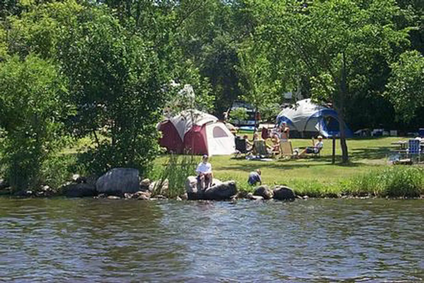
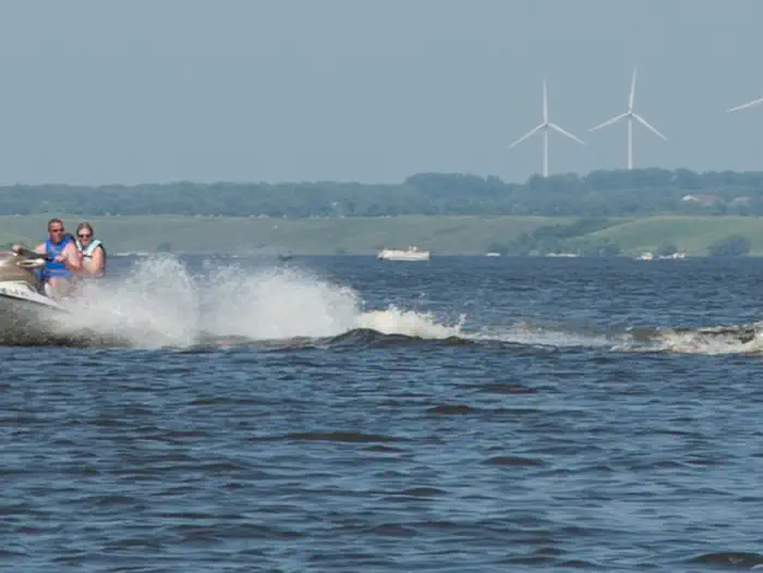
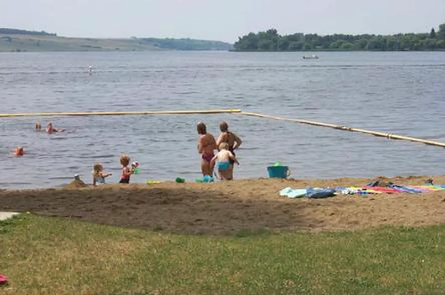
The East Ashtabula Crossing Campground is located on 12 developed acres adjacent to Lake Ashtabula in eastern North Dakota. It is one of the most popular campgrounds in the area. Lake Ashtabula was created by the construction of the Baldhill Dam on the Sheyenne River in 1944, and is situated in one of the most scenic river valleys in the region, offering visitors a wide range of recreation opportunities year-round. Summer activities include fishing, boating, swimming and picnicking, while Ice fishing and cross-country skiing are popular during winter months.
More like this: electric hookups in North Dakota · reservable in North Dakota · big rigs in North Dakota · pets allowed in North Dakota
Check availability on Recreation.gov ↗

Site mix
| Standard with electric | 30 |
| Walk-in | 6 |
| Host/management | 1 |
Site guide
Will my RV fit
The longest site here provides 84 feet of vehicle capacity. Most sites are shorter.
36 sites. Tap a filter to narrow the list; the map follows.
| Site | Type | Entry | Fits, ft | Surface | Shade | Power | People / vehicles | Fires |
|---|---|---|---|---|---|---|---|---|
| 01 | Walk-in | Full | No | 8 / 1 | Yes | |||
| 02 | Walk-in | Full | No | 8 / 1 | Yes | |||
| 03 | Walk-in | Full | No | 8 / 3 | Yes | |||
| 04 | Electric | Back-in | 65 | Gravel | Partial | 30 amp | 8 / 3 | Yes |
| 05 | Electric | Back-in | 65 | Gravel | Partial | 30 amp | 8 / 3 | Yes |
| 06 | Electric | Back-in | 54 | Gravel | Full | 30 amp | 8 / 3 | Yes |
| 07 | Electric | Back-in | 55 | Gravel | Full | 30 amp | 8 / 3 | Yes |
| 08 | Electric | Back-in | 61 | Gravel | Full | 30 amp | 8 / 3 | Yes |
| 09 | Electric | Back-in | 55 | Gravel | Full | 30 amp | 8 / 3 | Yes |
| 10 | Electric | Back-in | 84 | Gravel | Full | 30 amp | 8 / 3 | Yes |
Per-site records as published by the managing agency on Recreation.gov. Blank cells mean the agency listed nothing for that site. Check-in 1:00 PM, checkout 1:00 PM.
Amenities & rules
| Hookups | Electric |
| Max vehicle length | 79 ft |
| Equipment | RVs & trailers, Tents |
| Pets | Allowed |
| Campfires | Allowed, subject to restrictions |
| Tent pads | Yes |
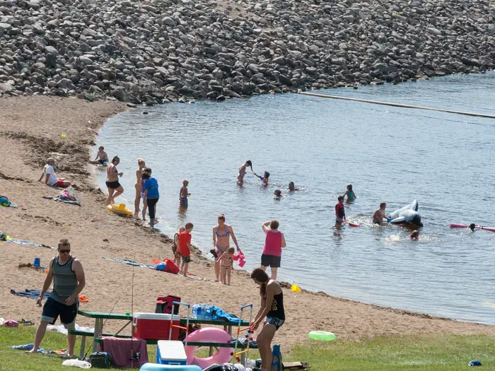
East Ashtabula Crossing has 38 campsites, 32 of which offer electric hookups. The facility also features a swimming beach, drinking water, flush toilets, a playground and a picnic shelter. Within walking distance campers will find a dump station, fishing pier, boat ramp, restaurant and hiking trails. The nearest town is Valley City, less than 15 miles away.
Individual sites vary. Confirm on Recreation.gov or with the managing office.
Weather by month
Getting there
The main route to the park is via Interstate 94 to Valley City exit 292. Follow the signs through Valley City and follow County Road 21 north for 15 miles.
| Nearest town | Valley City, North Dakota |
| Coordinates | 47.1579° N, 98.0042° W · Directions ↗ |
Supplies & services
| RV sales & service | Ryba RV ↗ | 59.9 mi |
Locations © OpenStreetMap contributors. Call ahead; hours change seasonally.
Explore
Public land it sits in
Tomahawk National Wildlife Refuge begins about 9.5 miles away, and it is the closest of these.
- 9.5 miTomahawk National Wildlife Refuge ↗National Wildlife Refuge · Fish and Wildlife Service · 438 acres
Each unit is published as a centre point and an acreage rather than a boundary, so this section stands it in for a circle of the same area. Whether a campground is inside, and how far it is from one it is outside, are both approximate.
Other campgrounds nearby
On the National Register nearby
- Alderman School District No. 78Building · Valley City · 4.7 mi
Natural features
The campground is on a wooded hillside offering shade for most sites. It lies amidst the 'prairie potholes' region of glacially-carved lakes in North Dakota. Spring and fall bring bountiful views of migratory water birds to Lake Ashtabula, including the unique white pelican, which can be seen in large flocks during summer. The lake region also provides habitat for white-tailed deer, sharptail grouse, wild turkey and gray partridge.
Recreation
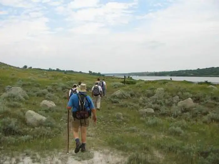
The name "Ashtabula" is a Native American word meaning "Fish River," which suits the lake's fish population; popular species include walleye, northern pike, white bass, yellow perch and black bullhead. With seven boat ramps, three accessible fishing piers and four automated fish cleaning stations, the lake is very convenient for anglers. Nearly 3,000 acres of land around the lake is managed as wildlife habitat by the Corps of Engineers and open to the public for wildlife viewing, birding, hiking and hunting. Hunters and anglers should contact the North Dakota Game and Fish Department for seasons, restrictions and licenses; fishing licenses and bait may be purchased from concessionaires around the lake. Campers can also drive the 63-mile Sheyenne River Valley National Scenic Byway and access nearly 35 miles of the North Country National Scenic Trail nearby.
Reference
Questions people ask
Do I need a reservation at East Ashtabula Crossing?
Sites at East Ashtabula Crossing are reservable on Recreation.gov. Any walk-up sites are listed on the booking page.
Source: Recreation.gov
What time is check-in at East Ashtabula Crossing?
Check-in 1:00 PM, checkout 1:00 PM.
Source: Recreation.gov
How many sites does East Ashtabula Crossing have?
37 sites, including 30 standard sites with power and 6 walk-in sites.
Source: Recreation.gov
Will my RV fit at East Ashtabula Crossing?
Recreation.gov lists no practical vehicle capacity limit for the largest site here, which usually means pull-through or open parking. The sidebar tool checks a trailer or motorhome length against every site.
Source: Will my RV fit
Does East Ashtabula Crossing have hookups?
Yes, electric hookups at some sites.
Source: Recreation.gov
Are there showers or a dump station at East Ashtabula Crossing?
The facility also features a swimming beach, drinking water, flush toilets, a playground and a picnic shelter.
Source: Recreation.gov
Are pets allowed at East Ashtabula Crossing?
Yes, pets are allowed at East Ashtabula Crossing. Leash rules apply.
Source: Recreation.gov
Can I have a campfire at East Ashtabula Crossing?
Fires are allowed in the provided rings under normal conditions.
Source: Recreation.gov
What is there to do at East Ashtabula Crossing?
The name "Ashtabula" is a Native American word meaning "Fish River," which suits the lake's fish population; popular species include walleye, northern pike, white bass, yellow perch and black bullhead. The Recreation section on this page has the rest.
Source: Recreation
What is the nearest town to East Ashtabula Crossing?
Valley City, North Dakota.
Source: Getting there
What if East Ashtabula Crossing is full?
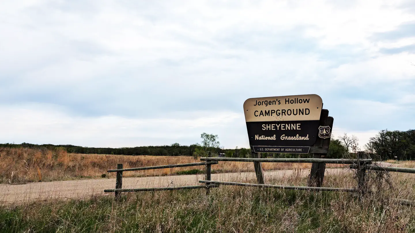
The nearest public campgrounds are West Ashtabula Crossing (3.6 mi), Eggerts Landing (4.3 mi), and Mel Rieman Rec (9.1 mi).
Source: Campgrounds nearby