Ochoco Divide Group Site
The Ochoco Divide Group Site is a convenient place to camp while traveling across scenic State Highway 26 by bicycle or car. Resting at the top of the Ochoco Divide at an elevation of 4,700 ft. the group site is set on a hill away from the road as an extension of the general campground. Summertime in the Ochoco National Forest brings pleasant temperatures; the campground is closed during winter.
More like this: reservable in Oregon · pets allowed in Oregon · group sites in Oregon
Check availability on Recreation.gov ↗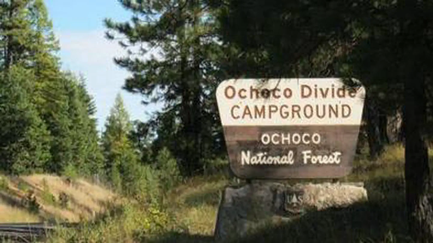
Site mix
| Group sites | 1 |
Site guide
1 site. Tap a filter to narrow the list; the map follows.
| Site | People / vehicles | Fires |
|---|---|---|
| 001 | 35 / 2 | Yes |
Per-site records as published by the managing agency on Recreation.gov. Blank cells mean the agency listed nothing for that site. Check-in 2:00 PM, checkout 12:00 PM.
Amenities & rules
| Pets | Allowed |
| Campfires | Allowed, subject to restrictions |
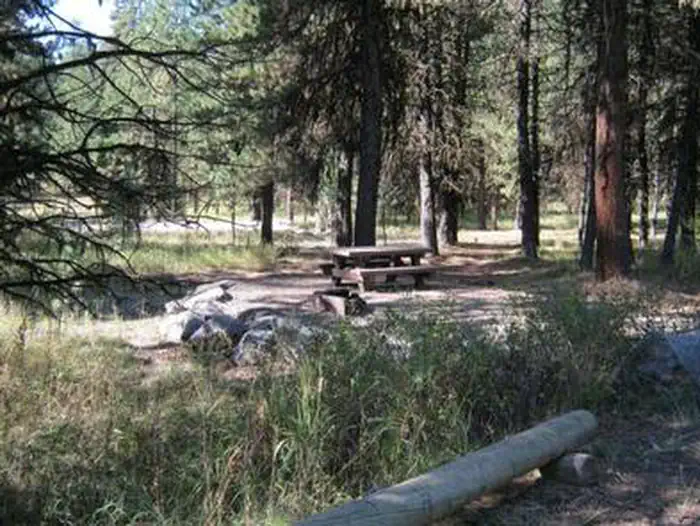
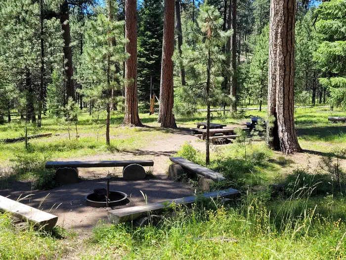
The group site is part of the main Ochoco Divide Campground. There is excellent quality drinking water throughout the main campground and near the group site. The group site can comfortably fit up to 12 people; no more than 35 are allowed. Parking is limited. Campers must park at the base of a small hill and walk up to the site. There is a large group size fire ring as well.
Individual sites vary. Confirm on Recreation.gov or with the managing office.
Season & status
| Status | Open |
| Forest | Ochoco National Forest |
| Booking | Reservations are required and may be made 6 months in advance to 1 day in advance. To make reservations call 1-877-444-6777 or visit http://www.recreation.gov. |
| Fees | $50 group site. |
| Rules | Maximum capacity is 35 people. General campground rules apply. There is a 14 day stay limit on all National Grassland and US Forest Service land including but not limited to campgrounds and other developed facilities. |
Weather by month
Getting there
From Prineville, Oregon travel approximately 28 miles on State Highway 26. The campground is on the right at the top of the divide.
| Nearest town | Prineville, Oregon |
| Coordinates | 44.5006° N, 120.3872° W · Directions ↗ |
Fire nearby
- WildfireBench
48 mi from the campground · 67,071 acres · 90% contained
Distance is to the reported incident point, not the fire edge. Call the managing office before you drive.
Supplies & services
| RV sales & service | RV sales & service ↗ | 25.9 mi |
| Outdoor gear | Prepper Up ↗ | 27 mi |
| Dump station | Dump station ↗ | 30 mi |
Locations © OpenStreetMap contributors. Call ahead; hours change seasonally.
Explore
Worth a stop
John Day Fossil Beds National Monument is less than an hour away. Hike amongst the Painted Hills and famed fossils, take a journey through time at the museum at Sheep Rock or picnic beneath the beautiful mountain scenery. John Day Fossil Beds National Monument
- 2.7 miScotty Creek Trailhead ↗Trailhead
Trails nearby
- 0.4 miSnomobile # 1 ↗18.1 mi trail · ATV, e-bike, snowmobile, snowshoe and 1 more
- 0.5 miOchoco Way2.9 mi trail · snowshoe, ski
- 0.7 miRidge Climb0.3 mi trail · snowshoe, ski
- 0.8 miWoodpecker1.3 mi trail · snowshoe, ski
- 0.8 miEasy1.4 mi trail · snowshoe, ski
- 0.9 miMcGinnis Creek ↗8 mi trail · hiking, horse, bike, snowshoe and 1 more
Trailheads within three miles
- 0.5 miOchoco Divide Sno-Park ↗Ochoco National Forest
- 1.1 miBandit Springs Sno-Park and Trailhead ↗Ochoco National Forest
- 1.8 miCougar East Trailhead ↗Ochoco National Forest
- 2.7 miScotty Creek Trailhead ↗Ochoco National Forest
Trail and trailhead records are the Forest Service's. Distances are straight-line to the nearer trail end. Trail conditions are not tracked here.
Public land it sits in
This campground sits inside Ochoco National Forest.
- inOchoco National Forest ↗National Forest · Forest Service · 912,775 acres
- 3.7 miMill Creek Wilderness ↗Wilderness · Forest Service · 17,173 acres
- 7.6 miBridge Creek Wilderness ↗Wilderness · Forest Service · 5,337 acres
Each unit is published as a centre point and an acreage rather than a boundary, so this section stands it in for a circle of the same area. Whether a campground is inside, and how far it is from one it is outside, are both approximate.
Other campgrounds nearby


Cabin and lookout rentals nearby
Natural features
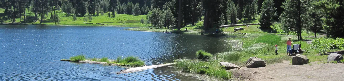
The scenery surrounding the campground alternates between thick Ponderosa pine forests and grassy meadows, though shortly beyond the campground the road descends into lower-elevation, arid canyon lands. One of the most unique geologic features of the Ochoco National Forest is the 'thunder egg,' Oregon's official state rock. Thunder eggs are small, colorful, round volcanic rocks similar to geodes that have been exposed over time. The U.S. Forest Service has designated specific sites for rock hounding.
Recreation
The group site of the Ochoco Divide Campground is mainly used by touring cyclists. It is also a good place to take a relaxing stroll through the woods. There are opportunities for hunting, mountain biking and hiking in the national forest surrounding the facility. Several trailheads begin at the Bandit Springs rest stop about one mile from the campground on Highway 26.
Guidebooks for Oregon
We earn a small commission if you buy through these links. It does not change what we list.

Titles come from Open Library's catalog, matched by subject heading or by title.
Reference
Questions people ask
Do I need a reservation at Ochoco Divide Group Site?
Sites at Ochoco Divide Group Site are reservable on Recreation.gov. Reservations are required and may be made 6 months in advance to 1 day in advance. Any walk-up sites are listed on the booking page.
Source: Recreation.gov
How much does it cost to camp at Ochoco Divide Group Site?
$50 group site.
Source: Recreation.gov
What time is check-in at Ochoco Divide Group Site?
Check-in 2:00 PM, checkout 12:00 PM.
Source: Recreation.gov
Is Ochoco Divide Group Site open right now?
Open as of Oct 16, 2026.
Source: Forest Service status
How many sites does Ochoco Divide Group Site have?
1 site, including 1 group site.
Source: Recreation.gov
Are pets allowed at Ochoco Divide Group Site?
Yes, pets are allowed at Ochoco Divide Group Site. Leash rules apply.
Source: Recreation.gov
Can I have a campfire at Ochoco Divide Group Site?
Fires are allowed in the provided rings under normal conditions. As of 2026-10-16, there is 1 active fire within 50 miles, so check current restrictions before you light one. Maximum capacity is 35 people.
Source: Fire nearby
What is there to do at Ochoco Divide Group Site?
The group site of the Ochoco Divide Campground is mainly used by touring cyclists. The Recreation section on this page has the rest.
Source: Recreation
What is the nearest town to Ochoco Divide Group Site?
Prineville, Oregon. John Day Fossil Beds National Monument is less than an hour away.
Source: Getting there
What if Ochoco Divide Group Site is full?
The nearest public campgrounds are Wildwood Campground (2.7 mi, first-come), Whistler Campground (4.9 mi, first-come), and Walton Lake (5.3 mi).
Source: Campgrounds nearby