Camp Rucker Group Site
Individual sites are $15 per night; cash payment on-site. Camp Rucker sits in the beautiful and remote Chiricahua Mountains of southeastern Arizona.
More like this: reservable in Arizona · big rigs in Arizona · pets allowed in Arizona
Check availability on Recreation.gov ↗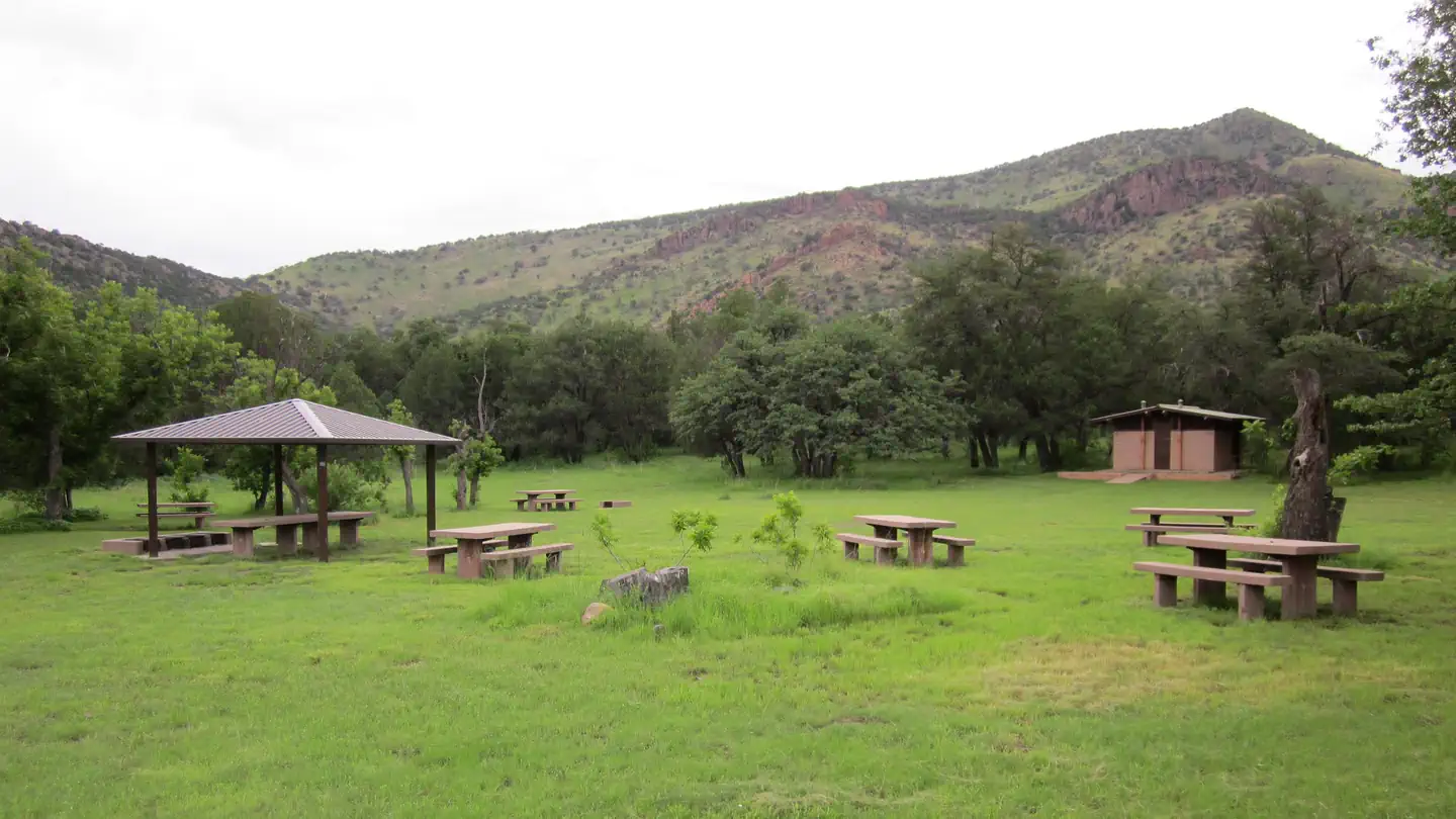


Amenities & rules
| Max vehicle length | 41 ft |
| Pets | Allowed |
| Campfires | Allowed, subject to restrictions |
Camp Rucker has one spacious group campsite that includes eight picnic tables, two large serving tables, campfire rings with grills, bear-proof trash containers and vault toilets. The site was designed for groups. However, if the area has not been reserved by a group, individuals are permitted to camp.
Individual sites vary. Confirm on Recreation.gov or with the managing office.
Weather by month
Getting there
From Douglas, Arizona, take Leslie Canyon Road north to Rucker Canyon. Stay on the main road, which becomes Forest Road 74. Turn left on Forest Road 74E and left again to the Camp Rucker Group Site. From Tucson, Arizona, take I-10 east for 72 miles to U.S. 191. Turn right and drive 29 miles to the turnoff for Rucker Canyon.
| Nearest town | Douglas, Arizona |
| Coordinates | 31.7536° N, 109.3581° W · Directions ↗ |
Good to know
- The Camp Rucker Group Site is not available for reservations at this time for site re-design and facility improvements.
Fire nearby
- PrescribedDouglas Piles Rx
under 1 mi from the campground · 46 acres
Distance is to the reported incident point, not the fire edge. Call the managing office before you drive.
Supplies & services
| Dump station | Dump station ↗ | 17.8 mi |
Locations © OpenStreetMap contributors. Call ahead; hours change seasonally.
Explore
Video
While on my work vacation was able to see Darius Rucker LIVE ! So much fun what a great pe
Trails nearby
- 1.4 miDevils Canyon3.2 mi trail · hiking, horse, bike
- 1.7 miRucker Peak0.8 mi trail · hiking, horse
- 1.9 miBrushy Canyon2.9 mi trail · hiking, horse
- 1.9 miTurtle Mountain2.3 mi trail · hiking, horse, bike
- 2.1 miRed Rock Canyon ↗7 mi trail · hiking, horse
- 2.1 miCottonwood ↗4.9 mi trail · hiking, horse, bike
Trail and trailhead records are the Forest Service's. Distances are straight-line to the nearer trail end. Trail conditions are not tracked here.
Public land it sits in
Chiricahua Wilderness begins about 0.9 miles away, and it is the closest of these.
- 0.9 miChiricahua Wilderness ↗Wilderness · Forest Service · 87,182 acres
- 7.5 miLeslie Canyon National Wildlife Refuge ↗National Wildlife Refuge · Fish and Wildlife Service · 24,801 acres
Each unit is published as a centre point and an acreage rather than a boundary, so this section stands it in for a circle of the same area. Whether a campground is inside, and how far it is from one it is outside, are both approximate.
Other campgrounds nearby



Cabin and lookout rentals nearby
On the National Register nearby
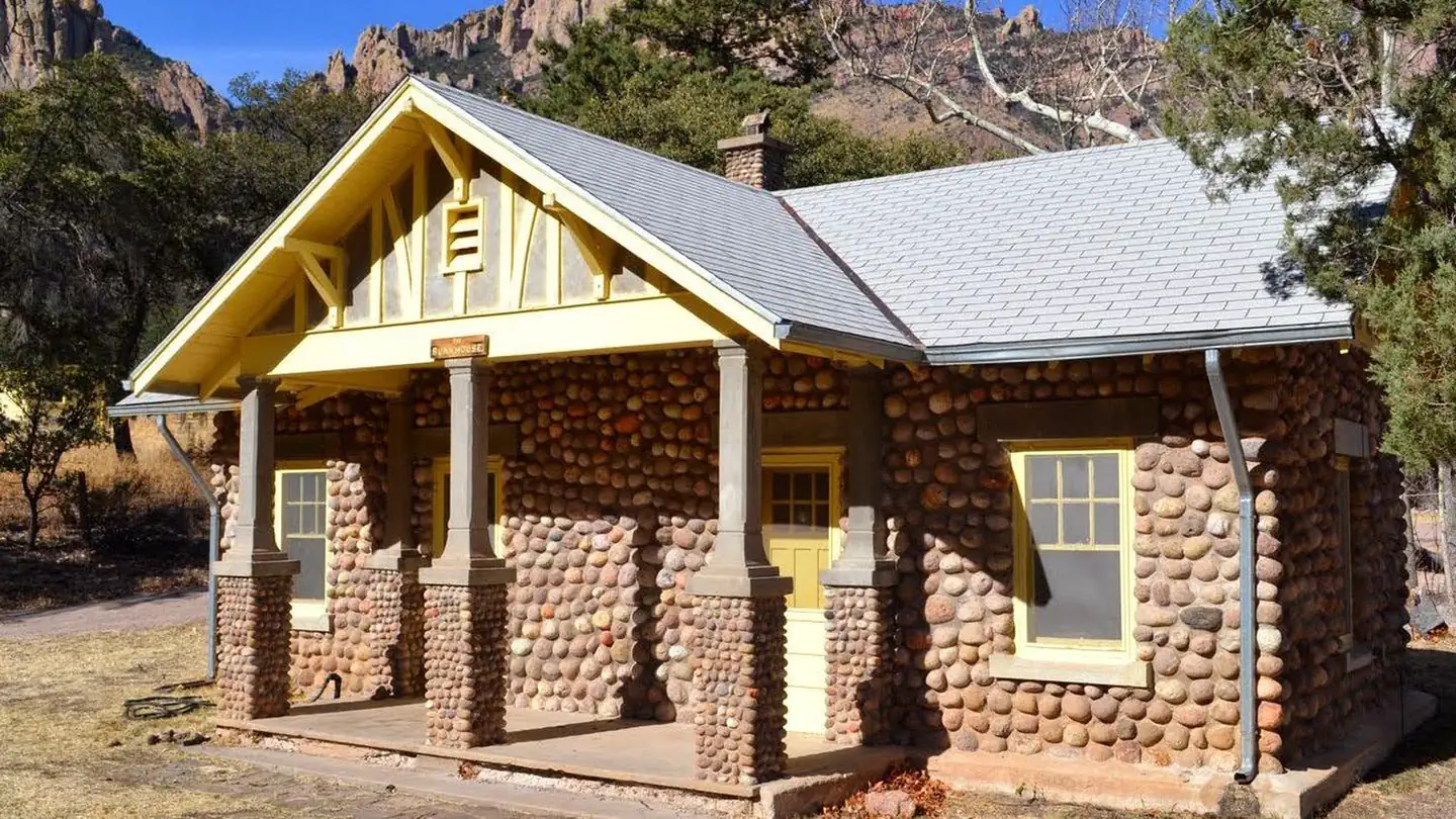
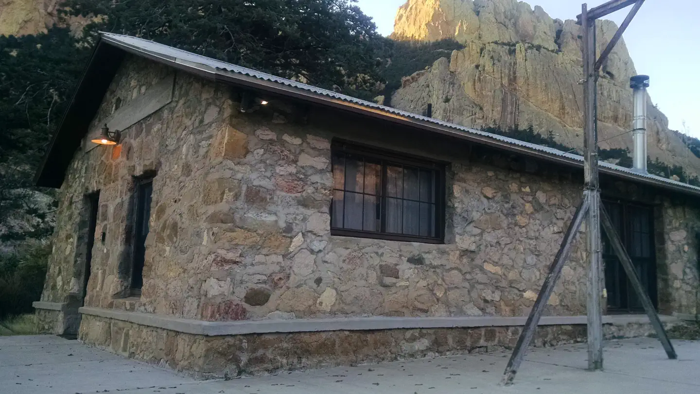
- Monte Vista Lookout CabinBuilding · Elfrida · 5.5 mi
- Cima Park Fire Guard StationBuilding · Douglas · 8.7 mi
- Rustler Park Fire Guard StationBuilding · Douglas · 11.3 mi
Natural features
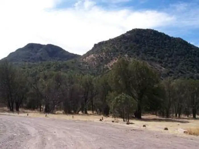
Located at an elevation of 5,533 feet, Camp Rucker is situated in a grassy area with plenty of open space between the oak, juniper and Arizona walnut trees that provide welcome shade on a summer day. A short distance from the camp, Rucker Creek runs intermittently throughout the year. Monte Vista Peak to the northeast and a number of other minor peaks and foothills provide a scenic backdrop.
Recreation
The Rucker and Tex Canyon scenic drive takes visitors over the southern reaches of the Chiricahua Mountains through beautiful canyon country, several forest campgrounds and a number of trails into the Chiricahua Wilderness. History buffs might want to stop at the historic Rucker Military Camp and Ranch, a remnant of the region's warring between U.S. Cavalry and Chiricahua Apaches.
Nearby
Campers can take a day trip to Chiricahua National Monument. The monument protects some of the most scenic areas of the Chiricahua Mountains, a wonderland of rocks and forests with many opportunities for hiking and photography.
Guidebooks for Arizona
We earn a small commission if you buy through these links. It does not change what we list.
- Best Backpacking Trips in Utah, Arizona, and New MexicoMike White and Douglas Lorain, 2016Find at Bookshop.org
Titles come from Open Library's catalog, matched by subject heading or by title.
Reference
Questions people ask
Do I need a reservation at Camp Rucker Group Site?
Sites at Camp Rucker Group Site are reservable on Recreation.gov. Any walk-up sites are listed on the booking page.
Source: Recreation.gov
What time is check-in at Camp Rucker Group Site?
Check-in 2:00 PM, checkout 2:00 PM.
Source: Recreation.gov
How many sites does Camp Rucker Group Site have?
1 site.
Source: Recreation.gov
Will my RV fit at Camp Rucker Group Site?
The longest site here provides 41 feet of vehicle capacity. Most sites are shorter. The sidebar tool checks a trailer or motorhome length against every site.
Source: Will my RV fit
Are pets allowed at Camp Rucker Group Site?
Yes, pets are allowed at Camp Rucker Group Site. Leash rules apply.
Source: Recreation.gov
Can I have a campfire at Camp Rucker Group Site?
Fires are allowed in the provided rings under normal conditions. As of 2026-10-16, there is 1 active fire within 50 miles, so check current restrictions before you light one.
Source: Fire nearby
What is there to do at Camp Rucker Group Site?
The Rucker and Tex Canyon scenic drive takes visitors over the southern reaches of the Chiricahua Mountains through beautiful canyon country, several forest campgrounds and a number of trails into the Chiricahua Wilderness. The Recreation section on this page has the rest.
Source: Recreation
What is the nearest town to Camp Rucker Group Site?
Douglas, Arizona. Campers can take a day trip to Chiricahua National Monument.
Source: Getting there
What if Camp Rucker Group Site is full?
The nearest public campgrounds are Walnut Grove Campground (0.8 mi, first-come), Sycamore Campground (7.5 mi, first-come), and Herb Martyr Campground (11 mi, first-come).
Source: Campgrounds nearby