Lone Rock
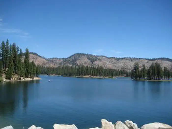
Lone Rock Campground is one of three in the Antelope Lake Recreation Area. Nestled in the beautiful northern Sierra Nevada mountain range, it offers forested woods and scenic vistas as far as the eye can see. Antelope Lake is one of the more remote, quiet lakes in the Plumas National Forest, making it a popular destination for anglers and explorers of all abilities.
More like this: reservable in California · big rigs in California · pets allowed in California · group sites in California
Check availability on Recreation.gov ↗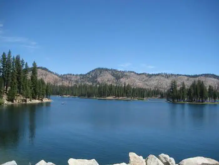
Site mix
| Standard, no hookups | 83 |
| group standard electric | 1 |
| Standard with electric | 1 |
| Host/management | 2 |
Site guide
Will my RV fit
The longest site here provides 53 feet of vehicle capacity. Most sites are shorter.
85 sites. Tap a filter to narrow the list; the map follows.
| Site | Type | Entry | Fits, ft | Surface | Shade | Waterfront | People / vehicles | Fires |
|---|---|---|---|---|---|---|---|---|
| 002 | Standard | Back-in | 40 | Paved | Full | 8 / 1 | Yes | |
| 003 | Standard | Back-in | 42 | Paved | Full | 8 / 1 | Yes | |
| 004 | Standard | Back-in | 40 | Paved | Full | 8 / 1 | Yes | |
| 005 | Standard | Back-in | 33 | Paved | Full | 8 / 1 | Yes | |
| 006 | Standard | Back-in | 43 | Paved | Full | 8 / 1 | Yes | |
| 007 | Standard | Back-in | 50 | Paved | Full | 8 / 1 | Yes | |
| 008 | Standard | Back-in | 45 | Paved | Full | 8 / 1 | Yes | |
| 009 | Standard | Back-in | 30 | Paved | Full | 8 / 1 | Yes | |
| 010 | Standard | Back-in | 40 | Paved | Full | 8 / 1 | Yes | |
| 011 | Standard | Back-in | 45 | Paved | Full | 8 / 1 | Yes |
Per-site records as published by the managing agency on Recreation.gov. Blank cells mean the agency listed nothing for that site. Check-in 2:00 PM, checkout 12:00 PM.
Amenities & rules
| Hookups | None |
| Max vehicle length | 53 ft |
| Equipment | RVs & trailers, Tents |
| Pets | Allowed |
| Campfires | Allowed, subject to restrictions |
| Tent pads | Yes |
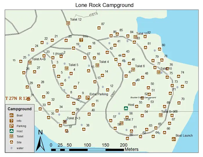
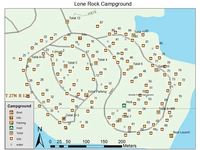
The campground offers multiple sites for both tent and RV camping, several of them adjacent to the lake, providing views of the lake. Space allows for two vehicles at each site; extra vehicles can be parked in nearby overflow parking at no extra charge. Tables and campfire rings with grills are provided, as well as vault toilets and drinking water.
Individual sites vary. Confirm on Recreation.gov or with the managing office.
Season & status
| Status | Closed for the season. Forest Service sites close for the season; check the official page for the reopening date. |
| Forest | Plumas National Forest |
| Booking | Sites can be reserved by calling 1-877-444-6777 or online at www.Recreation.gov |
| Fees | Access and Senior passes accepted. |
| Rules | 14 day camping limit. 6 people per campsite, 12 people for double sites. 2 vehicles per campsite. OHV riding is not allowed in campground. Store food, trash and scented items appropriately - Be Bear Aware |
Weather by month
Getting there
Take Arlington Road off Highway 89 (near Crescent Mills) to Taylorsville Road, continuing on Genesee Road and Indian Creek Road to Antelope Lake.
| Coordinates | 40.1953° N, 120.6172° W · Directions ↗ |
Fire nearby
- PrescribedCy26 Elrd Understory Drake Unit 6 8 &10 Rx
45 mi from the campground
- PrescribedCy26 Elrd Underburn Drake Unit 7 & 9 Rx
47 mi from the campground
Distance is to the reported incident point, not the fire edge. Call the managing office before you drive.
Supplies & services
| RV sales & service | Reliable RV ↗ | 14.2 mi |
| Dump station | Dump station ↗ | 26.4 mi |
Locations © OpenStreetMap contributors. Call ahead; hours change seasonally.
Explore
Video
Video of Lone Rock Campground, CO from Amanda B.
Worth a stop
The campground is 30 miles from the small town of Taylorsville. The drive along Janesville Grade has some terrific views.
- 0.8 mi
Trails nearby
- 0.1 miAntelope Lake Nature Trail0.1 mi trail
- 1 miAntelope/Taylor Lake ↗10.3 mi trail
- 1.3 miIndian Camp0.3 mi trail
- 1.7 miFruit Growers0.1 mi trail
- 1.8 miCold Stream1.7 mi trail
- 2.4 miWillow0.9 mi trail
Trail and trailhead records are the Forest Service's. Distances are straight-line to the nearer trail end. Trail conditions are not tracked here.
Public land it sits in
This campground sits inside Plumas National Forest.
- inPlumas National Forest ↗National Forest · Forest Service · 1,431,953 acres
- 0.7 miLassen National Forest ↗National Forest · Forest Service · 1,488,712 acres
Each unit is published as a centre point and an acreage rather than a boundary, so this section stands it in for a circle of the same area. Whether a campground is inside, and how far it is from one it is outside, are both approximate.
Other campgrounds nearby

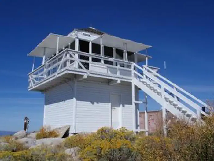
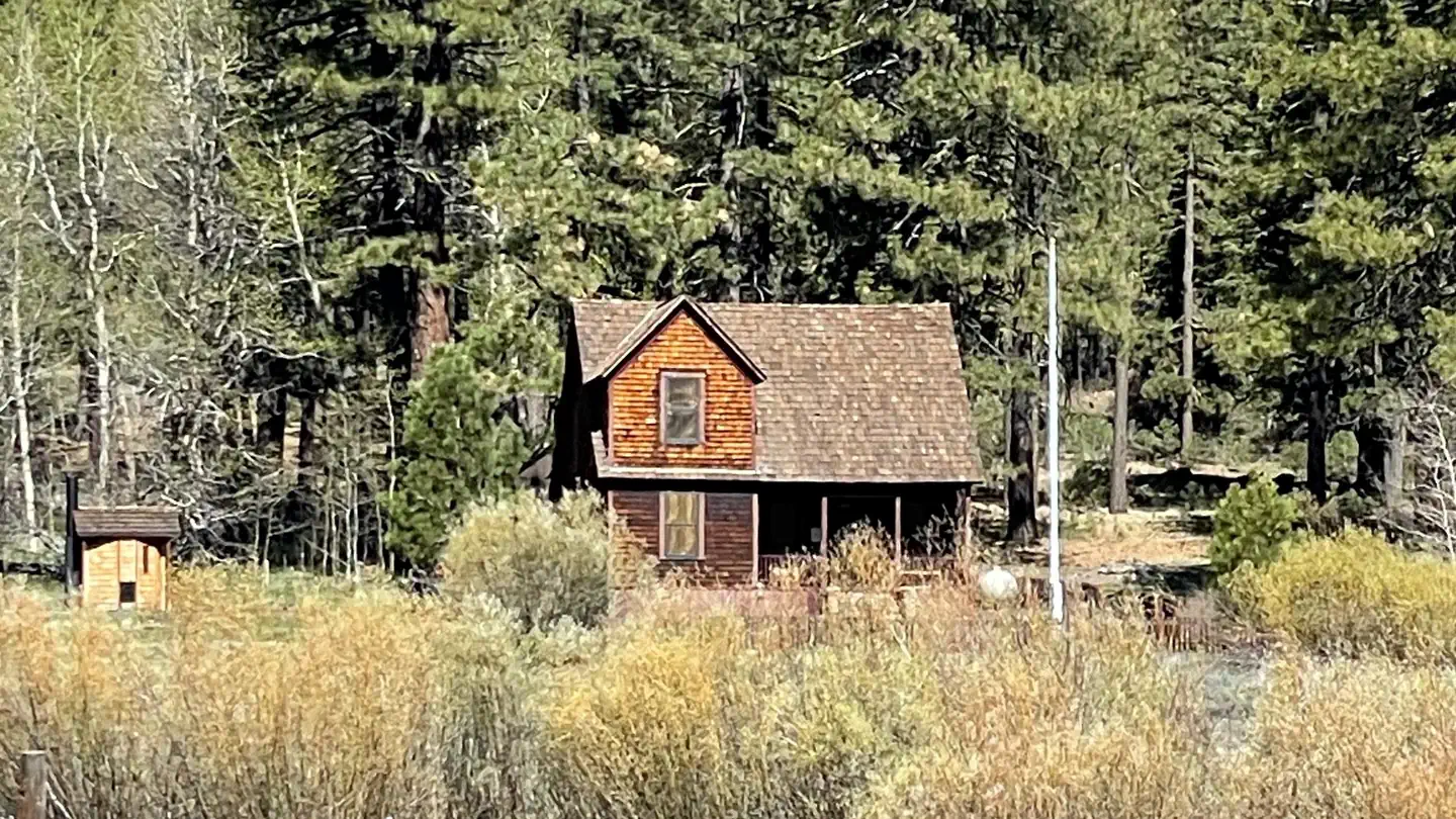
Cabin and lookout rentals nearby
Natural features
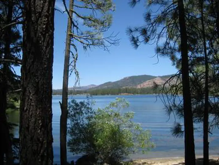
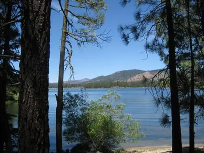
Tall pine and fir trees provide plentiful shade to the area, which is situated at an elevation of 5,000 feet.
Recreation
The campground's close proximity to the lake provides visitors with access to fishing, swimming, boating, water skiing and other water-related recreation activities. Anglers can look forward to a well-stocked trout, bass and catfish population. Educational programs are offered at the campground's amphitheater. Hiking and mountain biking opportunities abound. The Sunset Point trail begins near the campground.
Guidebooks for California
We earn a small commission if you buy through these links. It does not change what we list.

Titles come from Open Library's catalog, matched by subject heading or by title.
Reference
Questions people ask
Do I need a reservation at Lone Rock?
Sites at Lone Rock are reservable on Recreation.gov. Sites can be reserved by calling 1-877-444-6777 or online at www.Recreation.gov Any walk-up sites are listed on the booking page.
Source: Recreation.gov
How much does it cost to camp at Lone Rock?
Access and Senior passes accepted.
Source: Recreation.gov
What time is check-in at Lone Rock?
Check-in 2:00 PM, checkout 12:00 PM.
Source: Recreation.gov
Is Lone Rock open right now?
Closed for the season as of Oct 16, 2026.
Source: Forest Service status
How many sites does Lone Rock have?
87 sites, including 83 standard sites without power, 1 group standard electric, and 1 standard site with power.
Source: Recreation.gov
Will my RV fit at Lone Rock?
The longest site here provides 53 feet of vehicle capacity. Most sites are shorter. The sidebar tool checks a trailer or motorhome length against every site.
Source: Will my RV fit
Are pets allowed at Lone Rock?
Yes, pets are allowed at Lone Rock. Leash rules apply.
Source: Recreation.gov
Can I have a campfire at Lone Rock?
Fires are allowed in the provided rings under normal conditions. As of 2026-10-16, there are 2 active fires within 50 miles, so check current restrictions before you light one. 14 day camping limit.
Source: Fire nearby
What is there to do at Lone Rock?
The campground's close proximity to the lake provides visitors with access to fishing, swimming, boating, water skiing and other water-related recreation activities. The Recreation section on this page has the rest.
Source: Recreation
What if Lone Rock is full?
The nearest public campgrounds are Boulder Creek (0.9 mi, partly first-come), Antelope Lake Recreation Area (1.7 mi, first-come), and Long Point (2.4 mi).
Source: Campgrounds nearby