Texas Flats
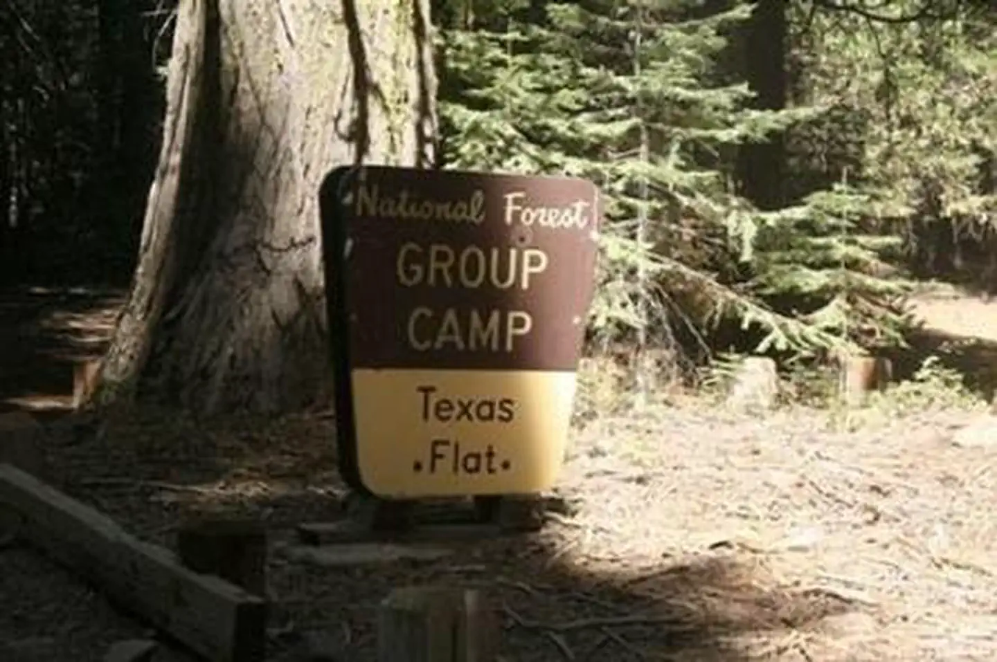
Texas Flats Campground remains closed due to hazard trees. Texas Flats Campground is a horse-friendly group camp situated on the banks of McGilvery Creek. It is split into 4 sections named manzanita, red fir, white fir and cedar.
More like this: reservable in California · group sites in California
Check availability on Recreation.gov ↗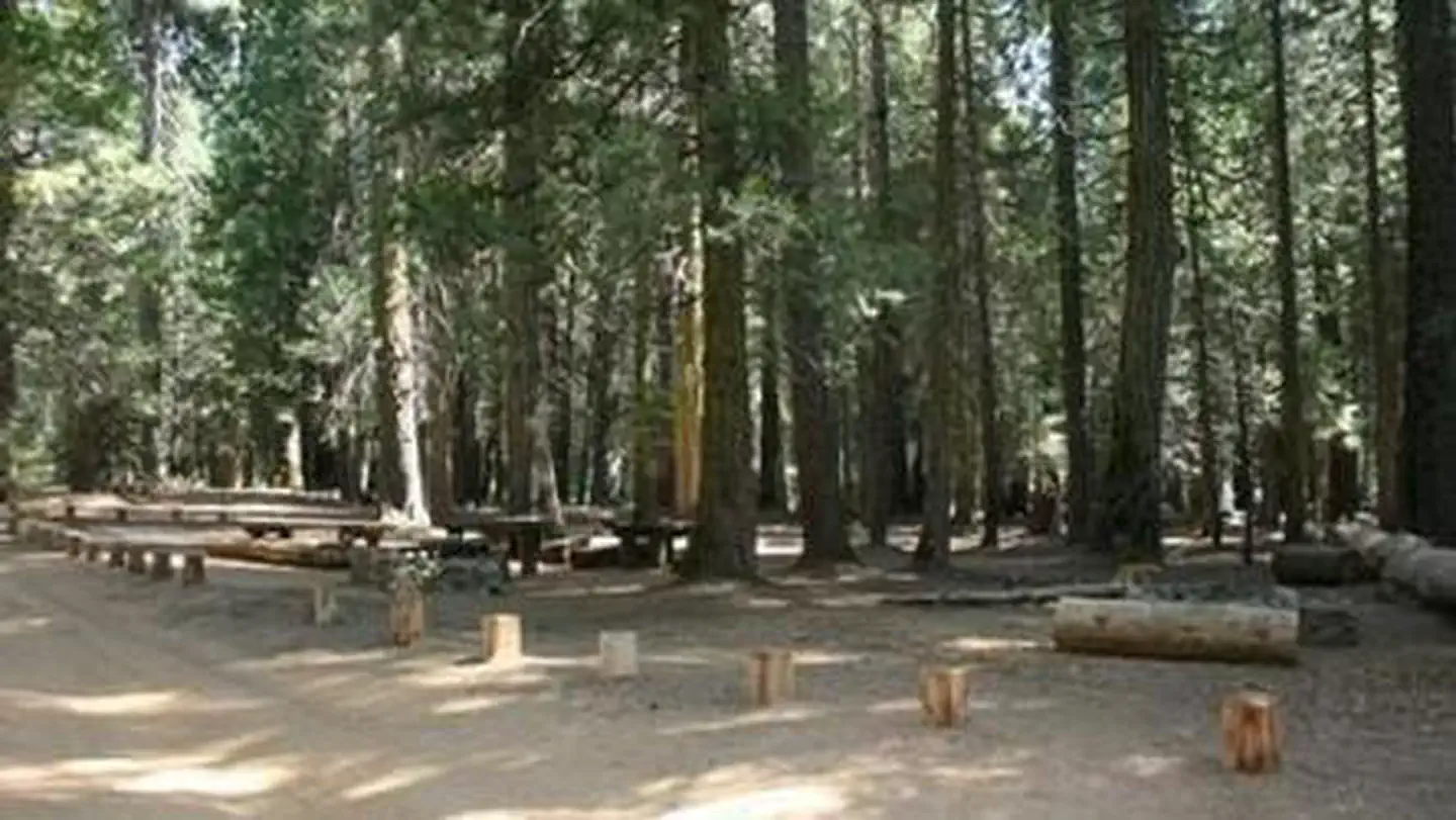
Site mix
| Group sites | 4 |
Site guide
Will my RV fit
The longest site here provides 20 feet of vehicle capacity. Most sites are shorter.
4 sites in 4 loops. Tap a filter to narrow the list; the map follows.
| Site | Loop | Entry | Fits, ft | Surface | Shade | People / vehicles | Fires |
|---|---|---|---|---|---|---|---|
| Group 3 - Cedar | CEDAR | Back-in | 20 | Gravel | Partial | 30 / 15 | Yes |
| Manzanita | MANZANITA | Back-in | 20 | Gravel | Partial | 20 / 10 | Yes |
| Group 1 - Red Fir | RED FIR | Back-in | 20 | Gravel | Partial | 30 / 15 | Yes |
| Group 2 - White Fir | WHITE FIR | Back-in | 20 | Gravel | Partial | 25 / 12 | Yes |
Per-site records as published by the managing agency on Recreation.gov. Blank cells mean the agency listed nothing for that site. Check-in 2:00 PM, checkout 12:00 PM.
Amenities & rules
| Hookups | None |
| Max vehicle length | 20 ft |
| Equipment | RVs & trailers, Tents |
| Campfires | Allowed, subject to restrictions |
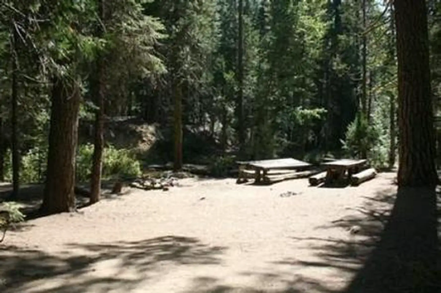
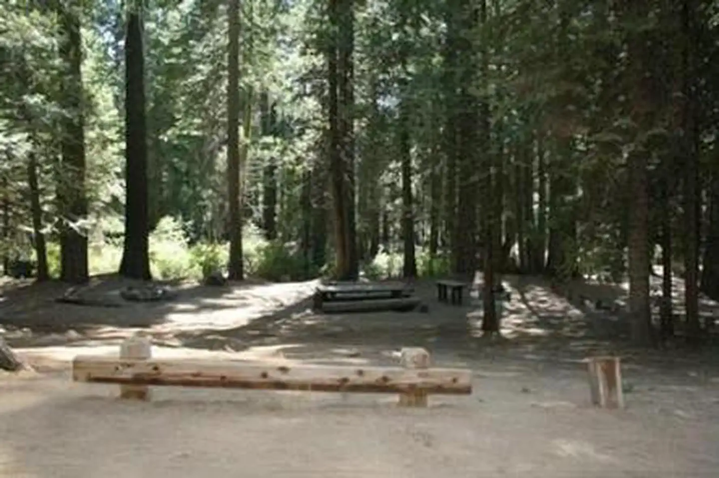
Each campsite can accommodate between 20-30 people and has picnic tables and campfire rings. Vault toilets are provided, but campers need to bring drinking water. This campground does not have facilities or corrals for horses.
Individual sites vary. Confirm on Recreation.gov or with the managing office.
Weather by month
Getting there
Take Highway 41 north through Oakhurst past Rd. 222 (aka Bass Lake turn off), to Road 632 (aka Sky Ranch Road). Turn right, travel 7 miles, and turn right on FS6S40 towards Soquel Campground. Travel for 1 mile, turn left on 6S08, cross the bridge and continue left through Greys Mt. Campground.
| Coordinates | 37.4255° N, 119.5445° W · Directions ↗ |
Fire nearby
- WildfireDome
10 mi from the campground · 6,788 acres · 95% contained
Distance is to the reported incident point, not the fire edge. Call the managing office before you drive.
Supplies & services
| Outdoor gear | Sierra Nevada Trading Company ↗ | 7.1 mi |
| Dump station | Dump station ↗ | 9.8 mi |
Locations © OpenStreetMap contributors. Call ahead; hours change seasonally.
Explore
Worth a stop
Yosemite National Park is a popular day trip. Visitors can also take a ride on the historic logging train at Yosemite Mountain Sugar Pine Railroad. The Sierra Vista Scenic Byway (Sky Ranch Road), an 83-mile drive past some of the highlights of Sierra National Forest, runs nearby.
- 2.8 mi
- 4.9 miLewis Creek Trail Nrt Trailhead ↗Trailhead
- 6 miWestfall Picnic Site ↗Day use
- 6.7 miThe Falls Picnic Site ↗Day use
- 9.8 miWawona Visitor Center At Hill's Studio ↗Visitor center
Trails nearby
- 0.5 miTexas0.3 mi trail · ATV, e-bike
- 0.6 miSky0.2 mi trail · hiking, horse, bike, 4WD and 1 more
- 0.6 miInsipid0.3 mi trail · hiking, horse, bike, 4WD and 1 more
- 1.1 miAustin0.3 mi trail · hiking, horse, bike, 4WD and 1 more
- 1.3 miSoquel0.3 mi trail · hiking, horse, bike, motorcycle and 3 more
- 1.3 miRancho0.4 mi trail · motorcycle, ATV, e-bike
Trailheads within three miles
- 2.8 miShadow Of The Giants Nrt Trailhead ↗Sierra National Forest
Trail and trailhead records are the Forest Service's. Distances are straight-line to the nearer trail end. Trail conditions are not tracked here.
Public land it sits in
This campground sits inside Sierra National Forest.
- inSierra National Forest ↗National Forest · Forest Service · 1,418,790 acres
- 11.1 miYosemite Wilderness ↗Wilderness · National Park Service · 704,624 acres
- 12.3 miAnsel Adams Wilderness ↗Wilderness · FS/NPS · 231,619 acres
Each unit is published as a centre point and an acreage rather than a boundary, so this section stands it in for a circle of the same area. Whether a campground is inside, and how far it is from one it is outside, are both approximate.
Other campgrounds nearby


On the National Register nearby
- Mariposa Grove MuseumBuilding · Wawona · 6.8 mi
- Sachse Spring Snow Survey ShelterBuilding · Yosemite · 9.8 mi
- Acting Superintendent's HeadquartersBuilding · Wawona · 9.9 mi
Natural features
The Sierra National Forest, located on the western slope of the central Sierra Nevada, is known for its spectacular mountain scenery and abundant natural resources. The terrain includes rolling, oak-covered foothills, heavily forested middle elevation slopes and the starkly beautiful alpine landscape of the High Sierra. Texas Flat Campground is located in the Highway 41 Corridor of the Bass Lake Ranger District. This area is known for the Nelder Grove of giant sequoias.
Recreation
Nearby logging and forest roads can be used as equestrian trails. The Shadow of the Giants, a popular 1-mile hike through a grove of giant sequoias, is just a short drive northwest of the campground.
Guidebooks for California
We earn a small commission if you buy through these links. It does not change what we list.

Titles come from Open Library's catalog, matched by subject heading or by title.
Reference
Questions people ask
Do I need a reservation at Texas Flats?
Sites at Texas Flats are reservable on Recreation.gov. Any walk-up sites are listed on the booking page.
Source: Recreation.gov
What time is check-in at Texas Flats?
Check-in 2:00 PM, checkout 12:00 PM.
Source: Recreation.gov
How many sites does Texas Flats have?
4 sites, including 4 group sites.
Source: Recreation.gov
Will my RV fit at Texas Flats?
The longest site here provides 20 feet of vehicle capacity. Most sites are shorter. The sidebar tool checks a trailer or motorhome length against every site.
Source: Will my RV fit
Can I have a campfire at Texas Flats?
Fires are allowed in the provided rings under normal conditions. As of 2026-10-16, there is 1 active fire within 50 miles, so check current restrictions before you light one.
Source: Fire nearby
What is there to do at Texas Flats?
Nearby logging and forest roads can be used as equestrian trails. The Recreation section on this page has the rest.
Source: Recreation
What if Texas Flats is full?
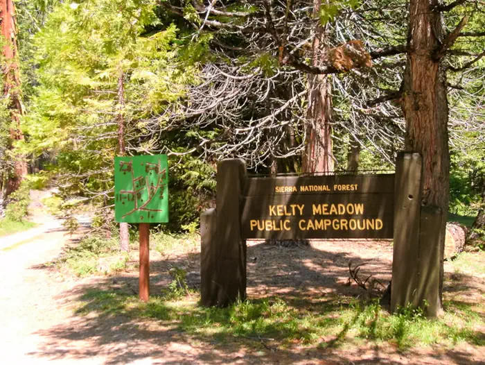
The nearest public campgrounds are Texas Flat Group Campground (0.1 mi), Kelty Meadow (1 mi), and Soquel Campground (1.6 mi).
Source: Campgrounds nearby