Rock Creek
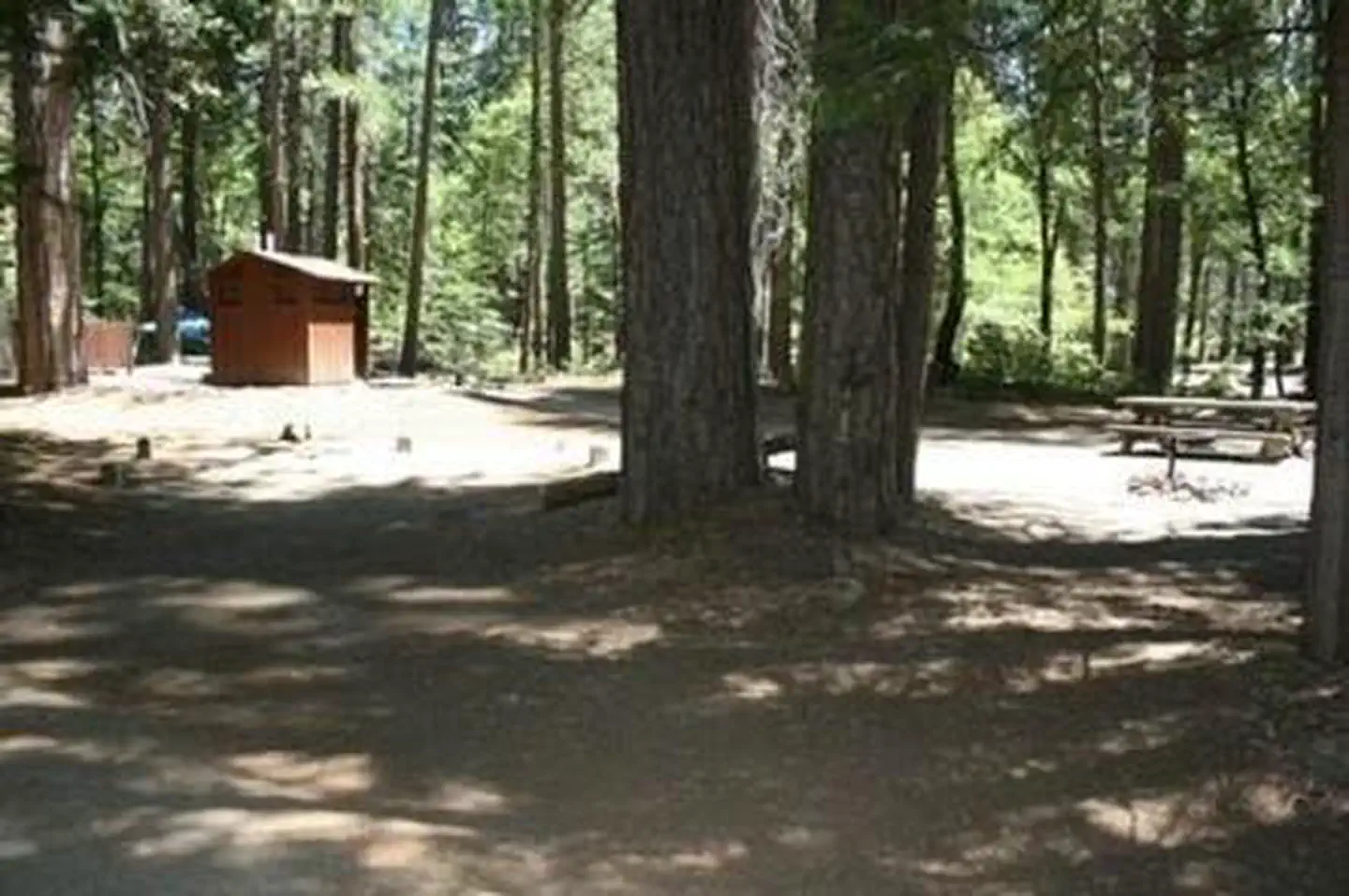
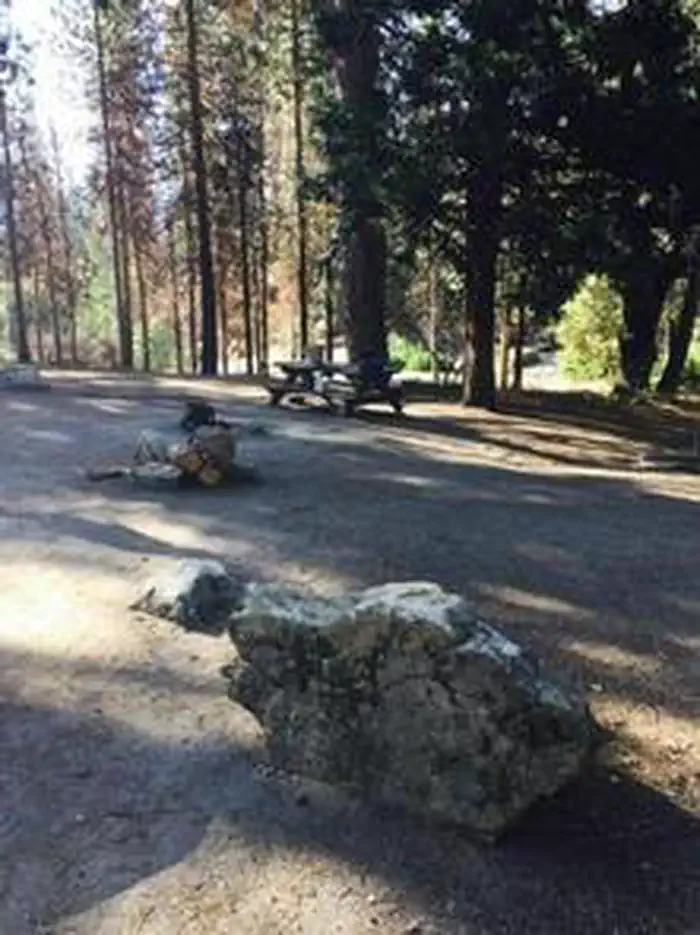
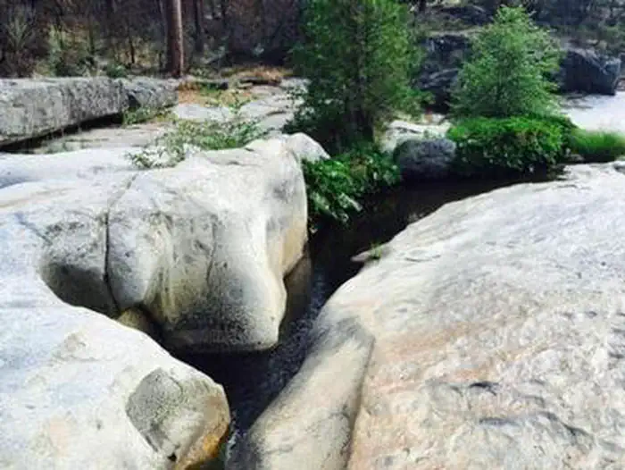
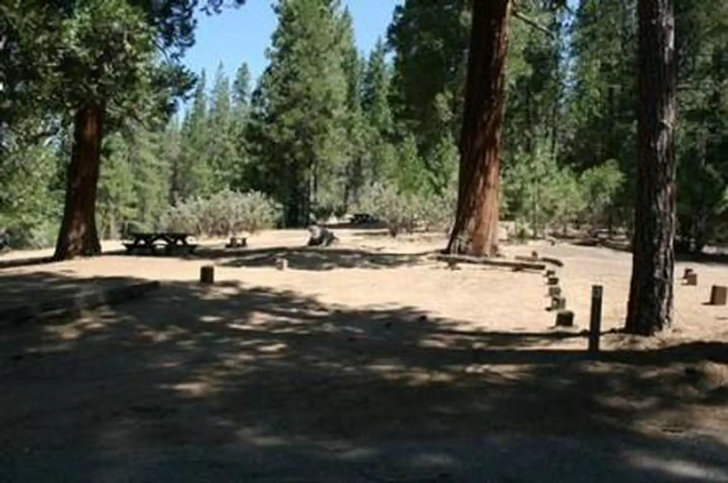
Rock Creek Campground will be closed until further notice due to a massive hazard tree removal. Rock Creek Campground sits on a large, sandy flat under a grove of oak, pine and cedar trees. The sites are divided into three sections, with Rock Creek running through the middle. One section of the camp sits nearest the access road; the other two sections can be reached via a bridge over Rock Creek. On this side, the largest section is located in closest to the swimming holes and rock water slide in the area.
More like this: reservable in California · pets allowed in California
Check availability on Recreation.gov ↗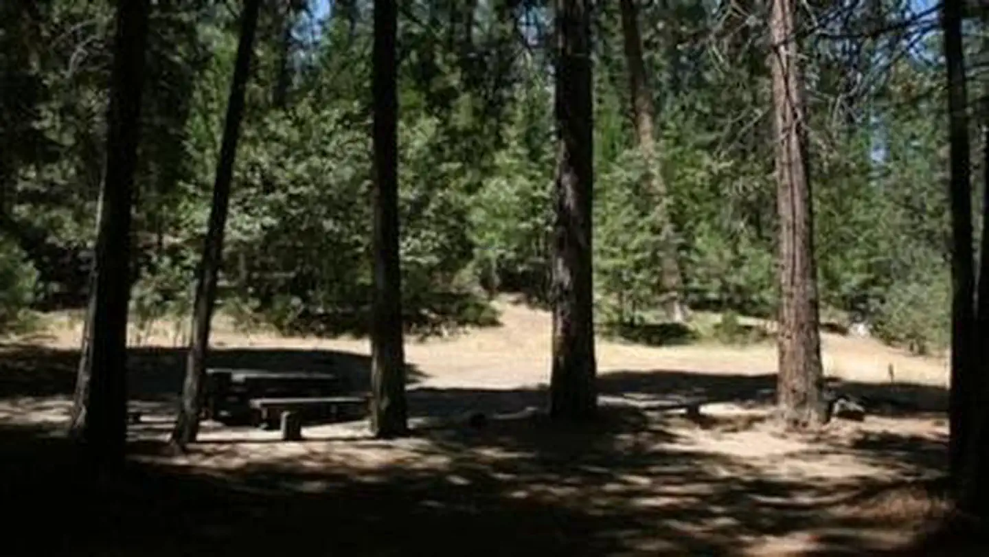
Site mix
| Standard, no hookups | 24 |
Site guide
Will my RV fit
The longest site here provides 30 feet of vehicle capacity. Most sites are shorter.
21 sites. Tap a filter to narrow the list; the map follows.
| Site | Entry | Fits, ft | Surface | Shade | People / vehicles | Fires |
|---|---|---|---|---|---|---|
| M2 | ||||||
| M3 | ||||||
| M4 | ||||||
| M5 | ||||||
| 001 | ||||||
| 002 | ||||||
| 003 | ||||||
| 004 | ||||||
| 006 | ||||||
| 007 |
Per-site records as published by the managing agency on Recreation.gov. Blank cells mean the agency listed nothing for that site. Check-in 0:00 AM, checkout 0:00 AM.
Amenities & rules
| Hookups | None |
| Max vehicle length | 30 ft |
| Equipment | RVs & trailers, Tents |
| Pets | Allowed |
| Campfires | Allowed, subject to restrictions |
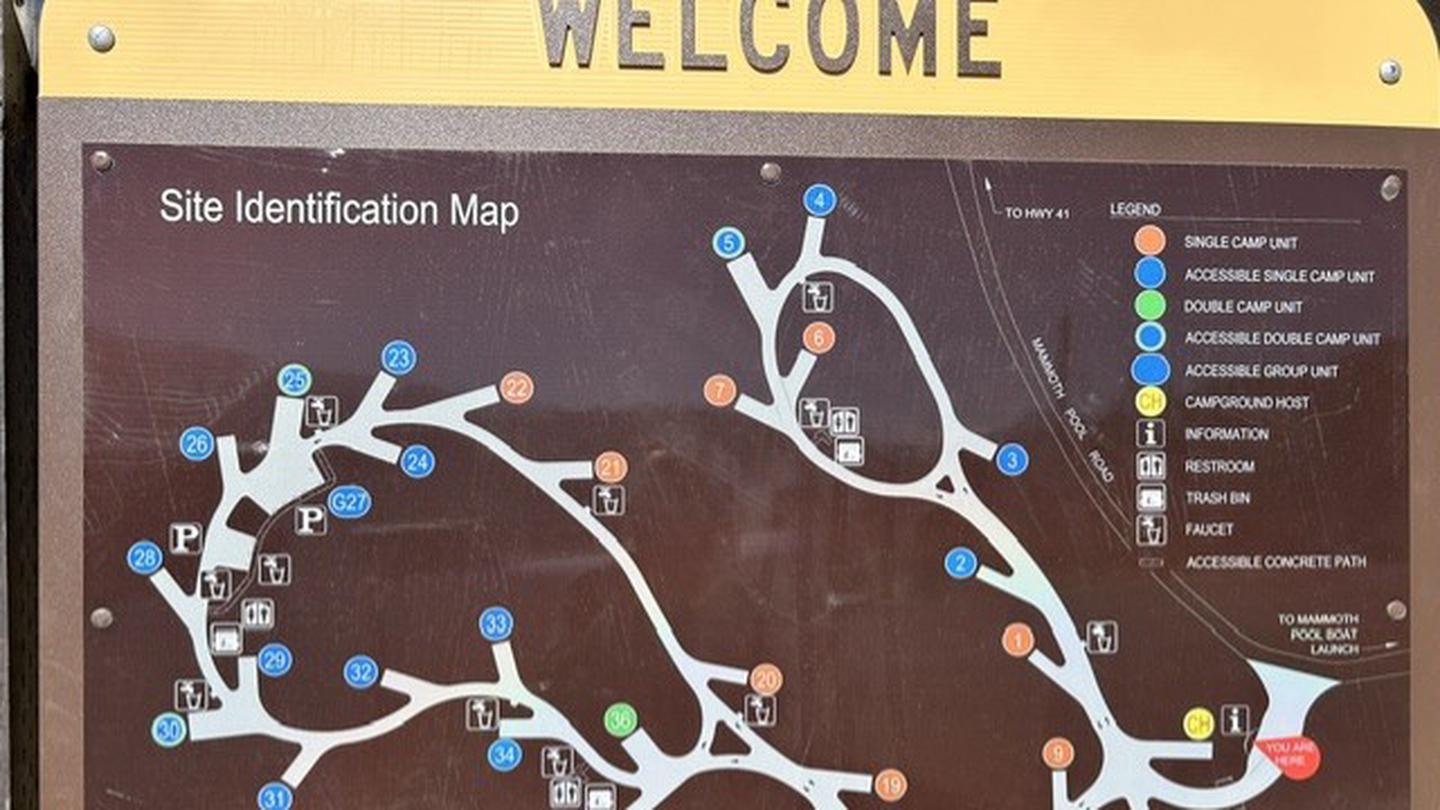
Each campsite has a picnic table and campfire ring with grill. Parking spurs are paved and dirt-surfaced. Vault toilets and drinking water are provided. Supplies can be purchased at Wagner's Mammoth Pool Resort.
Individual sites vary. Confirm on Recreation.gov or with the managing office.
Season & status
| Status | Closed for the season. Forest Service sites close for the season; check the official page for the reopening date. |
| Season | May to September |
| Forest | Sierra National Forest |
| Booking | Reservations through the National Recreation Reservation Service (NRRS) @ 1-877-444-6777 or www.recreation.gov. |
| Fees | $23.62 ($26.22) per night, single site $47.24 ($52.44) per night, double site $7.00 per night, per additional vehicle (taxes included) |
| Rules | Maximum length of stay = 14 days Maximum vehicle length = 30' Maximum group size = 6 per site |
Weather by month
Getting there
From Fresno, California, take Highway 41 north. Turn east on Forest Road 200 and pass through North Fork. Take Minarets Road east for 22 miles to Rock Creek Campground.
| Coordinates | 37.2911° N, 119.3594° W · Directions ↗ |
Fire nearby
- WildfireDome
24 mi from the campground · 6,788 acres · 95% contained
- PrescribedGrant Grove Rx Spring
42 mi from the campground · 15 acres
- PrescribedGrant Grove Fall Rx
43 mi from the campground
- WildfireLand
48 mi from the campground · 20 acres
Distance is to the reported incident point, not the fire edge. Call the managing office before you drive.
Supplies & services
| Dump station | Dump station ↗ | 11.9 mi |
| Outdoor gear | Captain Jack's Tackle ↗ | 13 mi |
Locations © OpenStreetMap contributors. Call ahead; hours change seasonally.
Explore
Video
⛺ Rock Creek Campground Review // Perry, KS // USACE
Worth a stop
The campground is located off the Sierra Vista Scenic Byway, an 83-mile driving route with views of some of the Sierra National Forest's most striking landmarks.
- 3.1 mi
- 4.9 miDowville Picnic Area ↗Day use
- 8.2 miBilly Creek Trailhead ↗Trailhead
- 10.6 miHuntington Boat Ramp & Launching Site ↗Boat launch
- 11.5 miPotter Pass Trailhead ↗Trailhead
Trails nearby
- 2.9 miSpring0.2 mi trail · motorcycle, ATV, e-bike
- 3.2 miMammoth Pool Dam1.9 mi trail · hiking, horse, bike
- 3.8 miGordon0.4 mi trail · motorcycle, ATV, e-bike
- 3.9 miWhiskey Ridge Loop0.2 mi trail · hiking, horse, bike, motorcycle and 3 more
- 3.9 miWhiskey Ridge0.5 mi trail · ATV, e-bike
- 3.9 miLine Loop1.1 mi trail · motorcycle, ATV, e-bike
Trail and trailhead records are the Forest Service's. Distances are straight-line to the nearer trail end. Trail conditions are not tracked here.
Public land it sits in
This campground sits inside Sierra National Forest.
- inSierra National Forest ↗National Forest · Forest Service · 1,418,790 acres
- 5.4 miKaiser Wilderness ↗Wilderness · Forest Service · 21,986 acres
- 12.3 miAnsel Adams Wilderness ↗Wilderness · FS/NPS · 231,619 acres
Each unit is published as a centre point and an acreage rather than a boundary, so this section stands it in for a circle of the same area. Whether a campground is inside, and how far it is from one it is outside, are both approximate.
Other campgrounds nearby


Natural features
The Sierra National Forest, located on the western slope of the central Sierra Nevada, is known for its spectacular mountain scenery and abundant natural resources. The terrain includes rolling, oak-covered foothills, heavily forested middle elevation slopes and the starkly beautiful alpine landscape of the High Sierra. Rock Creek Campground is located close to Mammoth Pool Reservoir near the Ansel Adams Wilderness. This area is known for its jagged peaks, including 13,157-foot Mt. Ritter, and numerous lakes and streams.
Recreation
Swimming holes can be found along the creek, and the campground's proximity to Mammoth Pool Reservoir provides even more recreational activities, including fishing, boating and hiking.
Guidebooks for California
We earn a small commission if you buy through these links. It does not change what we list.

Titles come from Open Library's catalog, matched by subject heading or by title.
Reference
Questions people ask
Do I need a reservation at Rock Creek?
Sites at Rock Creek are reservable on Recreation.gov. Reservations through the National Recreation Reservation Service (NRRS) @ 1-877-444-6777 or www.recreation.gov. Any walk-up sites are listed on the booking page.
Source: Recreation.gov
How much does it cost to camp at Rock Creek?
$23.62 ($26.22) per night, single site $47.24 ($52.44) per night, double site $7.00 per night, per additional vehicle (taxes included)
Source: Recreation.gov
What time is check-in at Rock Creek?
Check-in 0:00 AM, checkout 0:00 AM.
Source: Recreation.gov
Is Rock Creek open right now?
Closed for the season as of Oct 16, 2026. Season May to September.
Source: Forest Service status
How many sites does Rock Creek have?
24 sites, including 24 standard sites without power.
Source: Recreation.gov
Will my RV fit at Rock Creek?
The longest site here provides 30 feet of vehicle capacity. Most sites are shorter. The sidebar tool checks a trailer or motorhome length against every site.
Source: Will my RV fit
Are pets allowed at Rock Creek?
Yes, pets are allowed at Rock Creek. Leash rules apply.
Source: Recreation.gov
Can I have a campfire at Rock Creek?
Fires are allowed in the provided rings under normal conditions. As of 2026-10-16, there are 4 active fires within 50 miles, so check current restrictions before you light one. Maximum length of stay = 14 days Maximum vehicle length = 30' Maximum group size = 6 per site
Source: Fire nearby
Is there cell service at Rock Creek?
FCC coverage maps show Verizon 4G LTE and AT&T 4G LTE at the campground point. Terrain changes that from one site to the next.
Source: FCC Broadband Map
What if Rock Creek is full?
The nearest public campgrounds are Fish Creek (2.1 mi), Mammoth Pool (4 mi), and Sweetwater (5.1 mi).
Source: Campgrounds nearby