Belknap
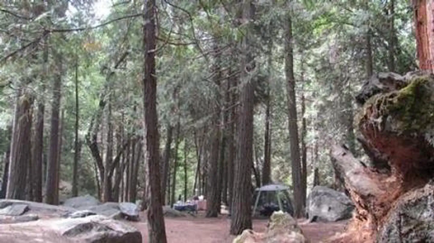
Belknap Campground, elevation 4,800 feet, is located east of Porterville, CA off state highway 190 in the Giant Sequoia National Monument in the Western Divide Ranger District. It sits within the Belknap and McIntyre giant sequoia groves.
More like this: reservable in California · tent only in California · pets allowed in California
Check availability on Recreation.gov ↗
Site mix
| Tent-only | 15 |
Site guide
15 sites in 3 loops. Tap a filter to narrow the list; the map follows.
| Site | Loop | Entry | Fits, ft | Surface | Shade | People / vehicles | Fires |
|---|---|---|---|---|---|---|---|
| 001 | A | 20 | Gravel | Full | 6 / 1 | Yes | |
| 002 | A | Back-in | 20 | Gravel | Full | 6 / 1 | Yes |
| 003 | A | Back-in | 20 | Gravel | Full | 6 / 1 | Yes |
| 004 | A | 20 | Gravel | Full | 6 / 1 | Yes | |
| 005 | A | 20 | Gravel | Full | 6 / 1 | Yes | |
| 006 | A | 20 | Gravel | Full | 6 / 1 | Yes | |
| 007 | A | 20 | Gravel | Full | 6 / 1 | Yes | |
| 008 | A | Back-in | 20 | Gravel | Full | 6 / 1 | Yes |
| 009 | A | Back-in | 20 | Gravel | Full | 6 / 1 | Yes |
| 010 | A | 15 | Gravel | Partial | 6 / 1 | Yes |
Per-site records as published by the managing agency on Recreation.gov. Blank cells mean the agency listed nothing for that site. Check-in 2:00 PM, checkout 12:00 PM.
Amenities & rules
| Max vehicle length | 20 ft |
| Equipment | Tents |
| Pets | Allowed |
| Campfires | Allowed, subject to restrictions |
Belknap offers about 13 tent camping sites that can accommodate up to 6 guests each. Vault toilets, campfire rings and picnic areas are all provided.
Individual sites vary. Confirm on Recreation.gov or with the managing office.
Weather by month
Getting there
From Springville, California, proceed east on State Highway 190 for approximately 15 miles. Turn east on Nelson Drive and continue about a mile to the campground.
| Coordinates | 36.1417° N, 118.5997° W · Directions ↗ |
Fire nearby
- WildfireCyrus
32 mi from the campground · 543 acres · 95% contained
- WildfireLand
42 mi from the campground · 20 acres
- PrescribedGrant Grove Fall Rx
47 mi from the campground
- PrescribedGrant Grove Rx Spring
48 mi from the campground · 15 acres
Distance is to the reported incident point, not the fire edge. Call the managing office before you drive.
Supplies & services
| Dump station | Dump station ↗ | 28.1 mi |
| Outdoor gear | Triple Crown Outfitters ↗ | 29.8 mi |
| RV sales & service | RV sales & service ↗ | 42.5 mi |
Locations © OpenStreetMap contributors. Call ahead; hours change seasonally.
Explore
Video
Belknap Campground: Your High Sierra Retreat #california #camping #travel #nature
Trails nearby
- 0.5 miNelson3.6 mi trail · hiking, horse, bike
- 2.3 miHossack2.3 mi trail · hiking, horse, bike
- 2.7 miBear Creek1.4 mi trail · hiking, horse, bike
- 2.7 miJordan Lookout0.9 mi trail · hiking, horse, bike
- 3 miLewis Camp ↗21.8 mi trail · hiking, horse, bike
- 3 miClicks Creek ↗6.9 mi trail · hiking, horse
Trail and trailhead records are the Forest Service's. Distances are straight-line to the nearer trail end. Trail conditions are not tracked here.
Public land it sits in
This campground sits inside Sequoia National Forest.
- inSequoia National Forest ↗National Forest · Forest Service · 1,160,053 acres
- 7.2 miGolden Trout Wilderness ↗Wilderness · Forest Service · 303,713 acres
- 14.7 miJohn Krebs Wilderness ↗Wilderness · National Park Service · 39,740 acres
Each unit is published as a centre point and an acreage rather than a boundary, so this section stands it in for a circle of the same area. Whether a campground is inside, and how far it is from one it is outside, are both approximate.
Other campgrounds nearby

Cabin and lookout rentals nearby

On the National Register nearby
- C. A. Elster BuildingBuilding · Springville · 12.2 mi
- Quinn Ranger StationBuilding · Mineral King · 12.7 mi
Natural features
The Sequoia National Forest, located at the southern end of the Sierra Nevada in central California, takes its name from the giant sequoia, the world's largest tree, which grows in more than 30 groves on the Forest's lower slopes. The Forest comprises about 1.1 million acres, and elevations range from about 1,000 to 12,000 feet, creating precipitous canyons and mountain streams with spectacular waterfalls, such as Salmon Creek Falls near Fairview and Grizzly Falls on the Kings River.
Recreation
Trails in the monument are open to hikers, horseback riders and bikers. The trails wind through giant sequoia groves, up mountains and alongside wild rivers. A hiking trail also starts within the campground, leading into the sequoia grove, with fishing in Tule River along the way.
Guidebooks for Sequoia National Forest and California
We earn a small commission if you buy through these links. It does not change what we list.

Titles come from Open Library's catalog, matched by subject heading or by title.
Reference
Questions people ask
Do I need a reservation at Belknap?
Sites at Belknap are reservable on Recreation.gov. Any walk-up sites are listed on the booking page.
Source: Recreation.gov
What time is check-in at Belknap?
Check-in 2:00 PM, checkout 12:00 PM.
Source: Recreation.gov
How many sites does Belknap have?
15 sites, including 15 tent-only sites.
Source: Recreation.gov
Will my RV fit at Belknap?
The longest site here provides 20 feet of vehicle capacity. Most sites are shorter. The sidebar tool checks a trailer or motorhome length against every site.
Source: Will my RV fit
Are pets allowed at Belknap?
Yes, pets are allowed at Belknap. Leash rules apply.
Source: Recreation.gov
Can I have a campfire at Belknap?
Fires are allowed in the provided rings under normal conditions. As of 2026-10-16, there are 4 active fires within 50 miles, so check current restrictions before you light one.
Source: Fire nearby
What is there to do at Belknap?
Trails in the monument are open to hikers, horseback riders and bikers. The Recreation section on this page has the rest.
Source: Recreation
What if Belknap is full?
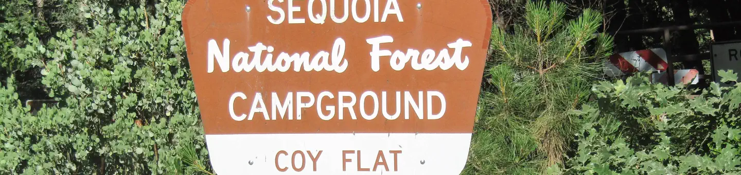
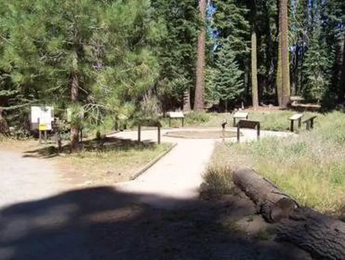
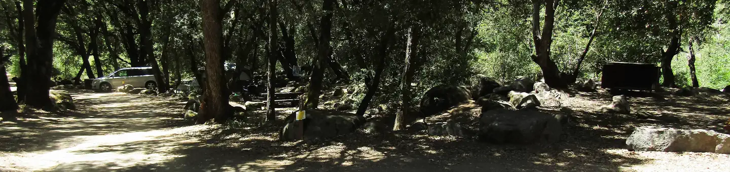
The nearest public campgrounds are Coy Flat (1.4 mi), Quaking Aspen (3.4 mi), and Wishon (4.9 mi).
Source: Campgrounds nearby