Ragland Bottom
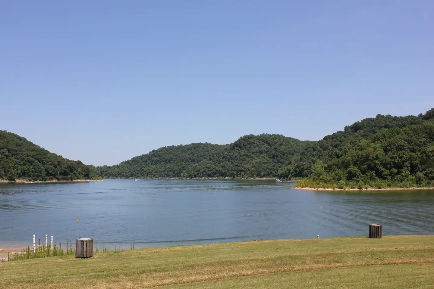
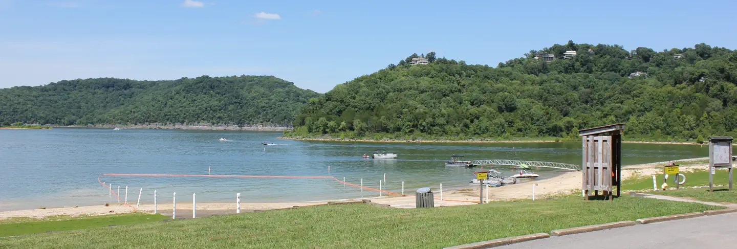
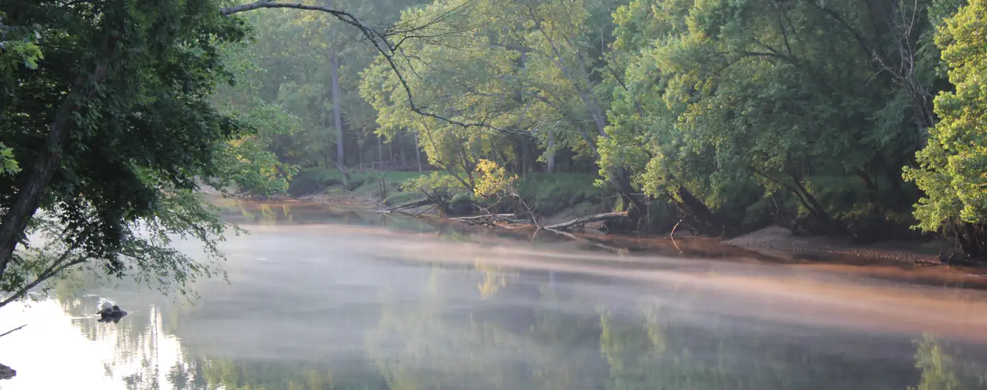
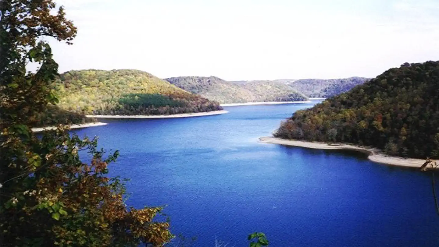
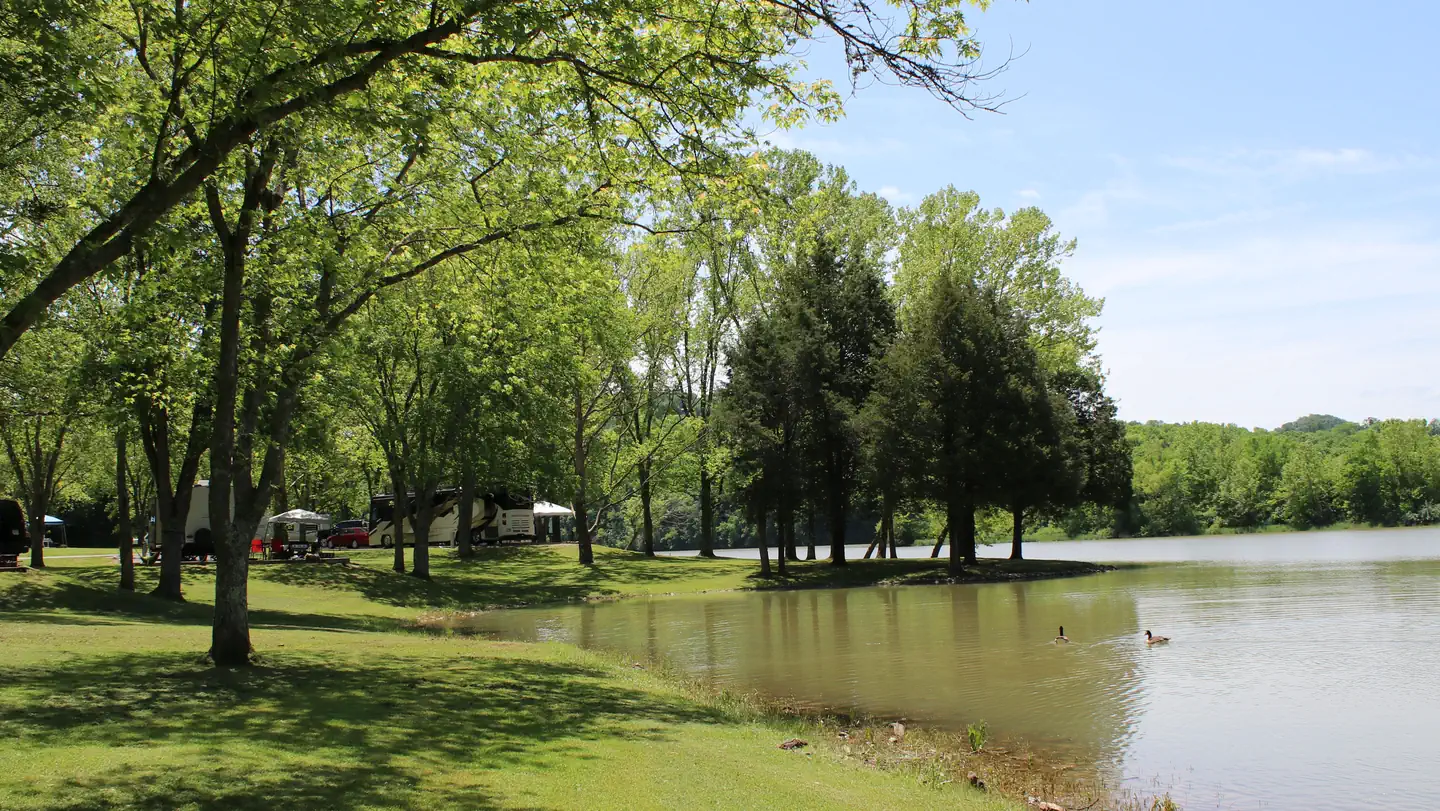
Ragland Bottom Campground is located on the shores of the scenic Center Hill Lake on central Tennessee's Highland Rim. The lake stretches 64 miles up the Caney Fork River, where visitors come to enjoy boating, fishing and water sports. The 415 miles of forested shoreline provide excellent hiking, hunting and camping opportunities.
More like this: electric hookups in Tennessee · full hookups in Tennessee · reservable in Tennessee · big rigs in Tennessee · pets allowed in Tennessee · group sites in Tennessee
Check availability on Recreation.gov ↗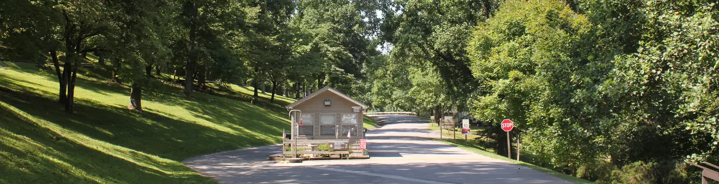
Site mix
| Standard with electric | 20 |
| Tent-only | 16 |
| tent only electric | 10 |
| RV with electric | 8 |
| group picnic area | 1 |
| Host/management | 2 |
Site guide
Will my RV fit
The longest site here provides 92 feet of vehicle capacity. Most sites are shorter.
55 sites in 4 loops. Tap a filter to narrow the list; the map follows.
| Site | Loop | Type | Entry | Fits, ft | Surface | Shade | Power | Water / sewer | Waterfront | People / vehicles | Fires | Accessible |
|---|---|---|---|---|---|---|---|---|---|---|---|---|
| P-1 | DAY USE | Group Picnic Area | Back-in | Paved | Partial | Yes | Yes / – | 125 / – | Yes | Yes | ||
| 42 | HILL | Tent only | Back-in | 15 | Gravel | Partial | No | 6 / 1 | Yes | |||
| 43 | HILL | Tent only | Back-in | 15 | Gravel | Partial | No | 6 / 1 | Yes | |||
| 44 | HILL | Tent only | Back-in | 15 | Gravel | Partial | No | 6 / 1 | Yes | |||
| 45 | HILL | Tent only | Back-in | 15 | Gravel | Partial | No | 6 / 1 | Yes | |||
| 46 | HILL | Tent only | Back-in | 15 | Gravel | Partial | No | 6 / 1 | Yes | |||
| 47 | HILL | Tent only | Back-in | 15 | Gravel | Partial | No | 6 / 1 | Yes | |||
| 48 | HILL | Tent only | Back-in | 15 | Gravel | Partial | No | 6 / 1 | Yes | |||
| 49 | HILL | Tent only | Back-in | 15 | Gravel | Partial | No | 6 / 1 | Yes | |||
| 50 | HILL | Tent only | Back-in | 15 | Gravel | Partial | No | 6 / 1 | Yes |
Per-site records as published by the managing agency on Recreation.gov. Blank cells mean the agency listed nothing for that site. Check-in 8:00 AM, checkout 10:00 PM.
Amenities & rules
| Hookups | Electric, water, sewer |
| Max vehicle length | 125 ft |
| Equipment | RVs & trailers, Tents |
| Pets | Allowed |
| Campfires | Allowed, subject to restrictions |
| Accessibility | Site P-1 is listed accessible |
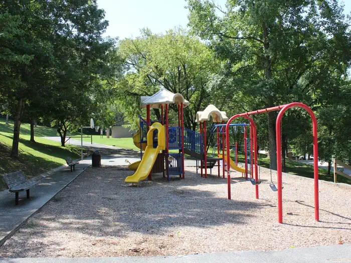
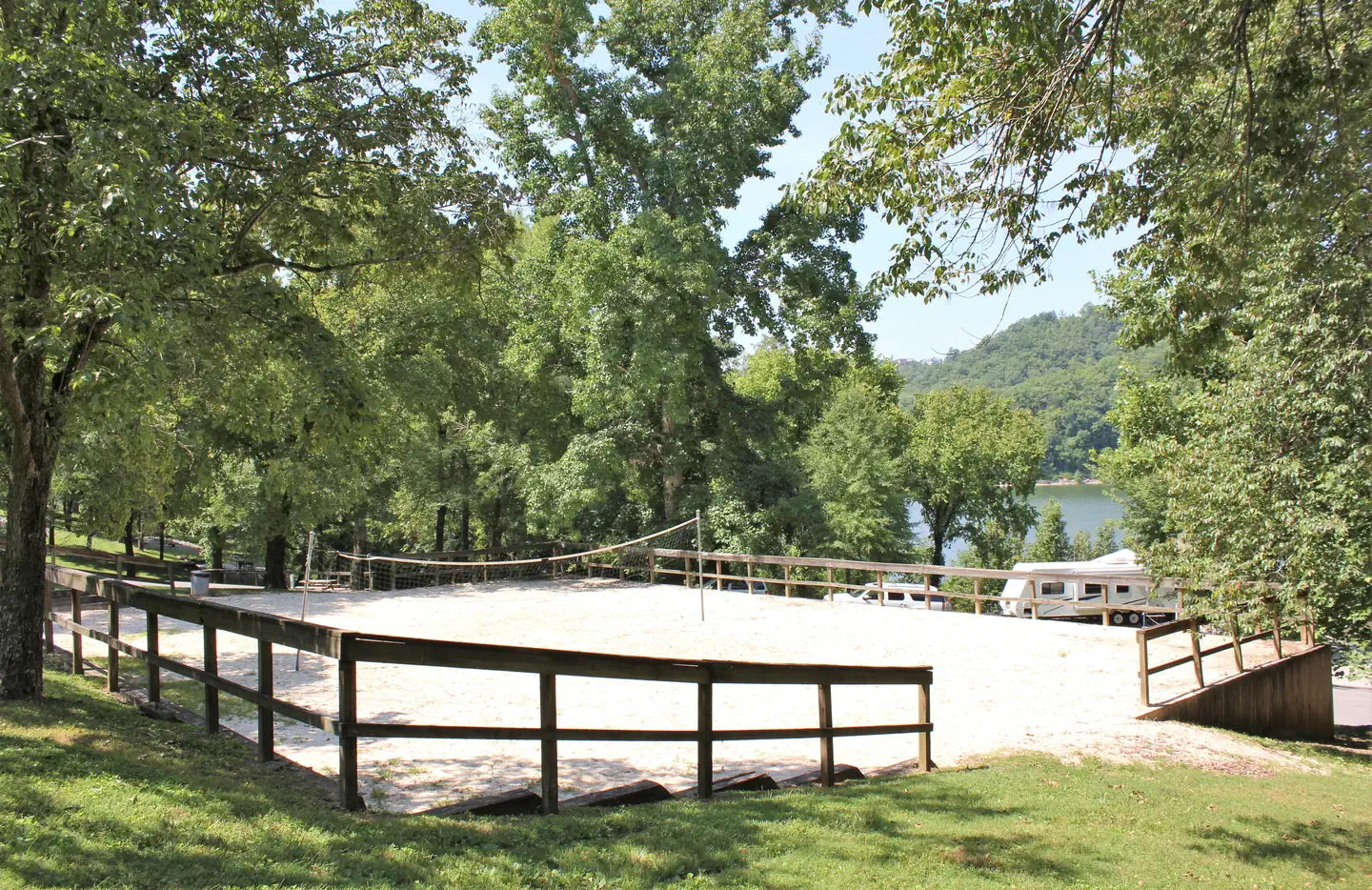
This waterfront campground offers 40 sites with water and electric hookups, as well as 16 primitive tent sites. A large group day-use picnic area is available as well, with water and 15-amp electric hookups. Amenities like flush toilets, showers and drinking water are provided, creating a comfortable camping experience for guests. A boat ramp, volleyball court, basketball goal, playground and hiking trail are all conveniently located within the campground. The adjacent day-use area has a group picnic shelter, boat ramp, and swimming beach.
Individual sites vary. Confirm on Recreation.gov or with the managing office.
Weather by month
Getting there
From Smithville, Tennessee, take US-70 east for 8 miles. Turn left on Ragland Bottom Road and follow signs to the campground, located one mile from Sligo Bridge.
| Nearest town | Sparta, Tennessee |
| Coordinates | 35.9774° N, 85.7209° W · Directions ↗ |
Supplies & services
| Dump station | Dump station ↗ | 5.3 mi |
| Outdoor gear | Fall Creek Falls Outfitter ↗ | 30.1 mi |
| RV sales & service | Blue Compass ↗ | 40.1 mi |
Locations © OpenStreetMap contributors. Call ahead; hours change seasonally.
Explore
Video
Living In A Minivan | Ragland Bottom Campground Tour
Worth a stop
Burgess Falls State Park is a 25-minute drive from the campground. Here, the Falling Water River drops approximately 250 feet, creating numerous breathtaking waterfalls. Hiking trails and overlooks help visitors enjoy the scenery. The large Native Butterfly Garden is a popular attraction within the park.
- 0.8 miSligo Marina ↗Boat launch
- 4.2 miCookeville Marina ↗Boat launch
Other campgrounds nearby
On the National Register nearby
- Evans BlockBuilding · Smithville · 5.3 mi
- Susie Foster Log HouseBuilding · Smithville · 5.6 mi
- West End Church of Christ Silver PointBuilding · Silver Point · 7.9 mi
Natural features
Center Hill Lake is surrounded by lush mixed hardwood forests in the hilly Highland Rim region. Beautiful dogwoods bloom in the campground in springtime. Whitetail deer, wild turkey, squirrels and rabbits roam the wooded hills around the lake.
Recreation
Boating, waterskiing, canoeing and fishing are popular activities on the water. Anglers will find bream, walleye, smallmouth bass, crappie, catfish and white bass. Below the dam, the Caney Fork River is one of the most productive trout fisheries in the state. Nine miles of hiking trails meander around the lake. The Red Post Trail is a short, but steep, two-mile trail that loops above the campground. Hikers who brave the moderately difficult climb are rewarded with beautiful overlooks of the lake and nearby Sligo Bridge and Marina.
Guidebooks for Tennessee
We earn a small commission if you buy through these links. It does not change what we list.
- Campgrounds in and Around the Great Smoky Mountains National ParkGrueen Huffman, 2010Find at Bookshop.org
Titles come from Open Library's catalog, matched by subject heading or by title.
Reference
Questions people ask
Do I need a reservation at Ragland Bottom?
Sites at Ragland Bottom are reservable on Recreation.gov. Any walk-up sites are listed on the booking page.
Source: Recreation.gov
What time is check-in at Ragland Bottom?
Check-in 8:00 AM, checkout 10:00 PM.
Source: Recreation.gov
How many sites does Ragland Bottom have?
57 sites, including 20 standard sites with power, 16 tent-only sites, 10 tent only electric, and 8 RV sites with electric.
Source: Recreation.gov
Will my RV fit at Ragland Bottom?
Recreation.gov lists no practical vehicle capacity limit for the largest site here, which usually means pull-through or open parking. The sidebar tool checks a trailer or motorhome length against every site.
Source: Will my RV fit
Does Ragland Bottom have hookups?
Yes, electric, water, and sewer hookups at some sites.
Source: Recreation.gov
Are there showers or a dump station at Ragland Bottom?
Amenities like flush toilets, showers and drinking water are provided, creating a comfortable camping experience for guests.
Source: Recreation.gov
Are pets allowed at Ragland Bottom?
Yes, pets are allowed at Ragland Bottom. Leash rules apply.
Source: Recreation.gov
Can I have a campfire at Ragland Bottom?
Fires are allowed in the provided rings under normal conditions.
Source: Recreation.gov
Are there accessible sites at Ragland Bottom?
Site P-1 is listed accessible on Recreation.gov. What that covers (a paved pad, an accessible table, a nearby accessible restroom) is on each site's booking page.
Source: Recreation.gov
Is there cell service at Ragland Bottom?
FCC coverage maps show Verizon 4G LTE and AT&T 4G LTE at the campground point. Terrain changes that from one site to the next.
Source: FCC Broadband Map
What is there to do at Ragland Bottom?
Boating, waterskiing, canoeing and fishing are popular activities on the water. The Recreation section on this page has the rest.
Source: Recreation
What is the nearest town to Ragland Bottom?
Sparta, Tennessee. Burgess Falls State Park is a 25-minute drive from the campground.
Source: Getting there