Old Highway 86
Old Highway 86 is a spacious and sunny campground that sits along the White River Arm of Table Rock Lake in the rolling Missouri countryside.
More like this: electric hookups in Missouri · reservable in Missouri · big rigs in Missouri · pets allowed in Missouri · group sites in Missouri
Check availability on Recreation.gov ↗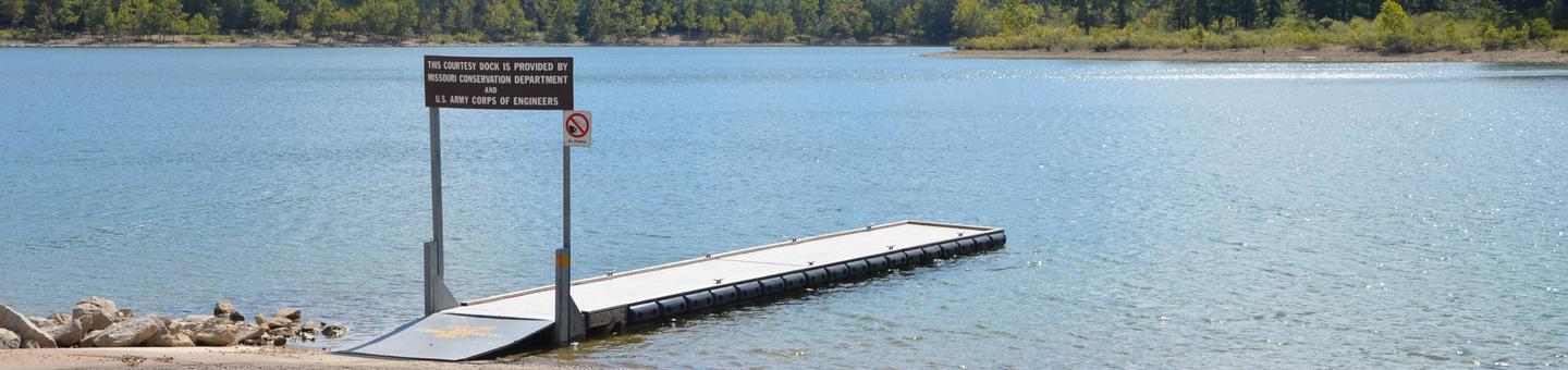
Site mix
| Standard with electric | 77 |
| group shelter electric | 1 |
Site guide
Will my RV fit
The longest site here provides 66 feet of vehicle capacity. Most sites are shorter.
78 sites. Tap a filter to narrow the list; the map follows.
| Site | Type | Entry | Fits, ft | Surface | Shade | Power | Water / sewer | People / vehicles | Fires |
|---|---|---|---|---|---|---|---|---|---|
| 01 | Electric | Back-in | 57 | Paved | Partial | 50 amp | Yes / – | 8 / 2 | |
| 02 | Electric | Back-in | 58 | Paved | Partial | 50 amp | Yes / – | 8 / 2 | |
| 03 | Electric | Back-in | 64 | Paved | Partial | 50 amp | Yes / – | 8 / 2 | |
| 04 | Electric | Back-in | 65 | Paved | Partial | 50 amp | Yes / – | 8 / 2 | |
| 05 | Electric | Back-in | 65 | Paved | Partial | 50 amp | Yes / – | 8 / 2 | |
| 06 | Electric | Back-in | 58 | Paved | Partial | 50 amp | Yes / – | 8 / 2 | |
| 07 | Electric | Back-in | 63 | Paved | Partial | 50 amp | Yes / – | 8 / 2 | |
| 08 | Electric | Back-in | 60 | Paved | Partial | 50 amp | Yes / – | 8 / 2 | |
| 09 | Electric | Back-in | 47 | Paved | Partial | 50 amp | Yes / – | 8 / 2 | Yes |
| 10 | Electric | Back-in | 41 | Paved | Partial | 50 amp | Yes / – | 8 / 2 | Yes |
Per-site records as published by the managing agency on Recreation.gov. Blank cells mean the agency listed nothing for that site. Check-in 04:00 PM, checkout 03:00 PM.
Amenities & rules
| Hookups | Electric, water |
| Max vehicle length | 66 ft |
| Equipment | RVs & trailers, Tents |
| Pets | Allowed |
| Campfires | Allowed, subject to restrictions |
| Fees | Gate attendants are happy to help you with your inquiries, but cannot make reservations over the phone. |
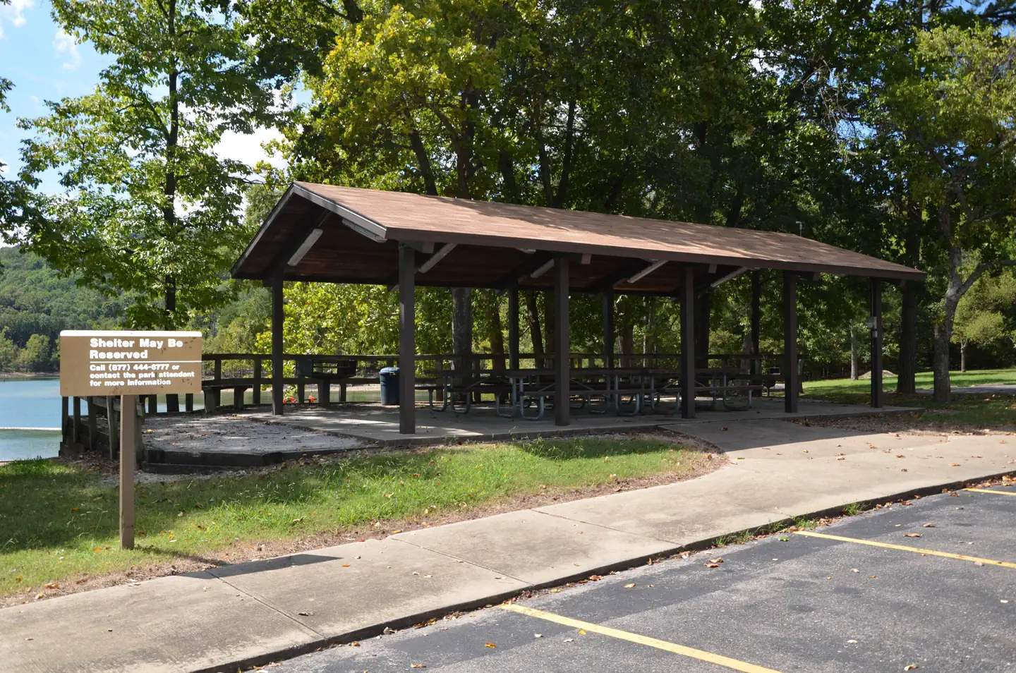
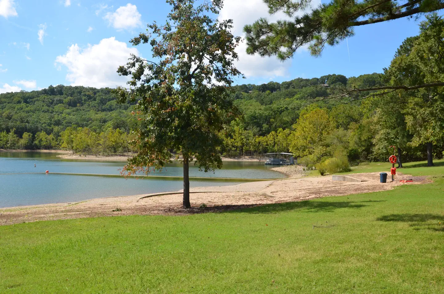
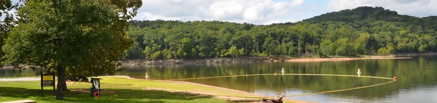
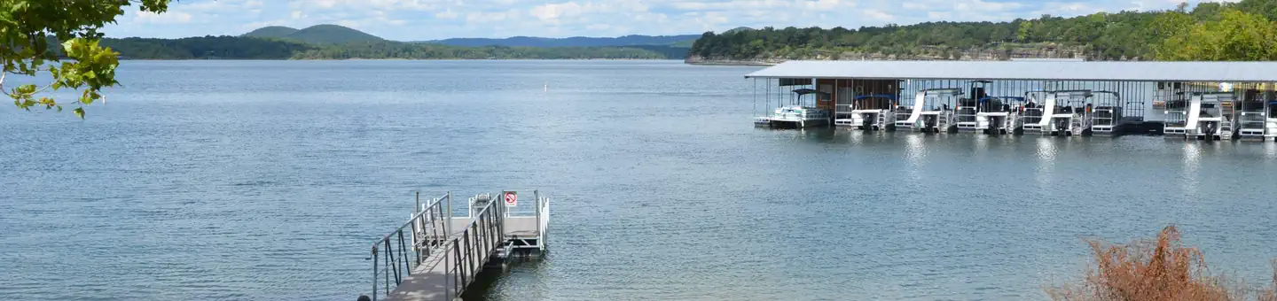
Old Highway 86 Campground offers 71 reservable campsites, along with one large reservable group picnic shelter. Amenities like hot showers, drinking water, a dump station and electric hookups create a comfortable camping experience. One swimming area, a boat ramp, playground and volleyball court make the campground perfect for family trips.
Individual sites vary. Confirm on Recreation.gov or with the managing office.
Weather by month
Getting there
From Branson, Missouri, take Highway 65 and turn west onto Highway 86. After 6 miles turn north on Highway UU and follow signs to the campground.
| Nearest town | Blue Eye, Missouri |
| Coordinates | 36.5594° N, 93.3194° W · Directions ↗ |
Supplies & services
| Dump station | Dump station ↗ | 7.1 mi |
| Outdoor gear | Kings River Outfitters ↗ | 25.6 mi |
| RV sales & service | Youngblood RV ↗ | 41.9 mi |
Locations © OpenStreetMap contributors. Call ahead; hours change seasonally.
Explore
Video
Old Highway 86 Campground Review: A Hidden Treasure or Just a Letdown?
Other campgrounds nearby

On the National Register nearby
- Mo–Ark Baptist AcademyBuilding · Blue Eye · 6.1 mi
- John Ross HouseBuilding · Branson · 6.3 mi
- Downing Street Historic DistrictBuilding · Hollister · 7.2 mi
Natural features
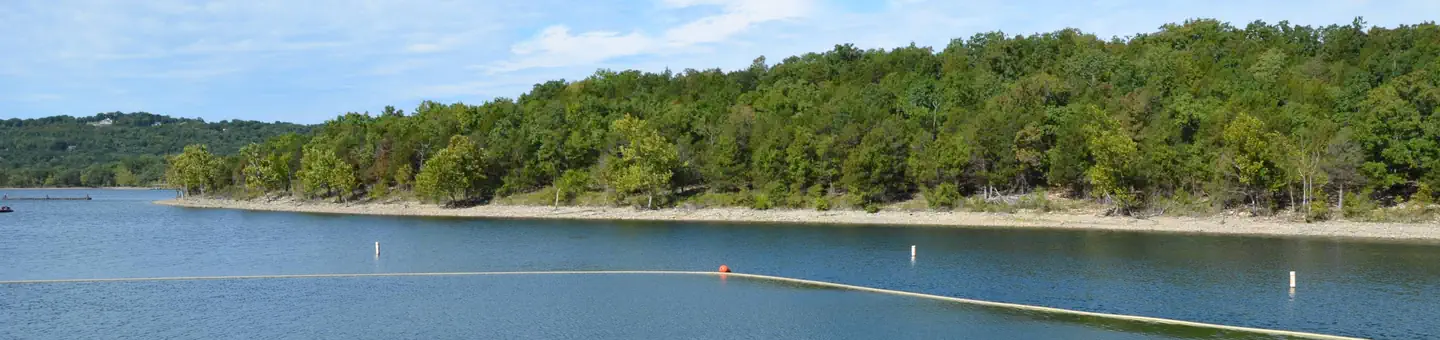
Table Rock Lake is a beautiful body of water surrounded by a forest of oak and hickory trees. Its waters wind down through the valleys and hollows of the Ozark Mountains, from Branson, Missouri to Eureka Springs, Arkansas. More than five million visitors per year take advantage of this recreational oasis. Originally built for flood control, the Table Rock Dam has created a lake that boasts 779 miles of shoreline for the public to enjoy.
Recreation
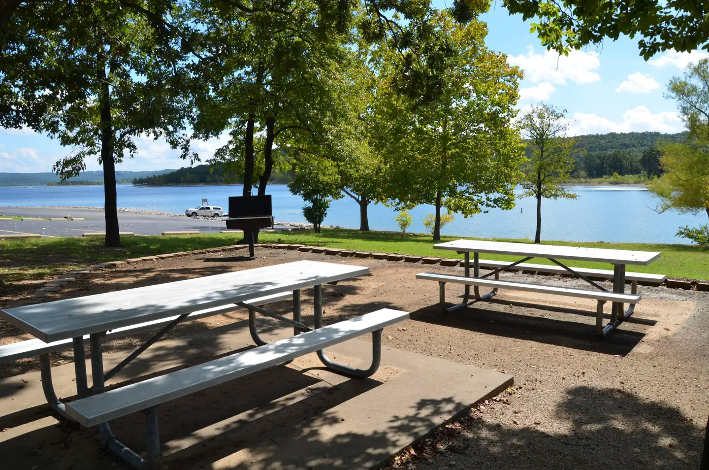
Whether on water or land, Old Highway 86 Campground offers visitors countless recreational activities. Picnicking, swimming, scuba diving, boating, fishing, hiking and wildlife viewing are all popular pastimes at the park. Many campsites are adjacent to the waters edge, and the remaining campsites are only a short walk away. Built on a peninsula, this park has water on three sides. Visitors can find plenty of room to fish from shore. While the lake boasts an abundance of crappie, catfish, and bluegill, Table Rock is most famous for bass, and is acclaimed as one of the best bass fishing lakes in this hemisphere. Table Rock Lakeshore Trail, about 2 miles long, runs from the Dewey Short Visitor Center to the Table Rock State Park Marina. During the spring hikers will see dogwood, serviceberry and redbud trees in bloom as well as many wildflower species. During the autumn months, visitors are treated to nature's colorful fall foliage. The trail also offers beautiful views of Table Rock Lake. Other hiking and mountain biking opportunities are available at the Mark Twain National Forest, parts of which are easily accessible from the campground.
Nearby
The Dewey Short Visitors Center is located at the south end of Table Rock Dam. It offers three educational films focused on the history of the dam, the story of Lewis and Clark and the history of eagles and their endangerment in the state of Missouri. The visitor center also contains exhibits about the natural history of the area. Old Highway 86 Campground is about 17 miles from Branson, Missouri, which offers grocery stores, gas and additional tourist attractions.
Guidebooks for Missouri
We earn a small commission if you buy through these links. It does not change what we list.
Titles come from Open Library's catalog, matched by subject heading or by title.
Reference
Questions people ask
Do I need a reservation at Old Highway 86?
Sites at Old Highway 86 are reservable on Recreation.gov. Any walk-up sites are listed on the booking page.
Source: Recreation.gov
How much does it cost to camp at Old Highway 86?
Gate attendants are happy to help you with your inquiries, but cannot make reservations over the phone.
Source: Recreation.gov
What time is check-in at Old Highway 86?
Check-in 04:00 PM, checkout 03:00 PM.
Source: Recreation.gov
How many sites does Old Highway 86 have?
78 sites, including 77 standard sites with power and 1 group shelter electric.
Source: Recreation.gov
Will my RV fit at Old Highway 86?
The longest site here provides 66 feet of vehicle capacity. Most sites are shorter. The sidebar tool checks a trailer or motorhome length against every site.
Source: Will my RV fit
Does Old Highway 86 have hookups?
Yes, electric and water hookups at some sites.
Source: Recreation.gov
Are there showers or a dump station at Old Highway 86?
Amenities like hot showers, drinking water, a dump station and electric hookups create a comfortable camping experience.
Source: Recreation.gov
Are pets allowed at Old Highway 86?
Yes, pets are allowed at Old Highway 86. Leash rules apply.
Source: Recreation.gov
Can I have a campfire at Old Highway 86?
Fires are allowed in the provided rings under normal conditions.
Source: Recreation.gov
Is there cell service at Old Highway 86?
FCC coverage maps show Verizon 4G LTE, AT&T 5G, and T-Mobile 5G at the campground point. Terrain changes that from one site to the next.
Source: FCC Broadband Map
What is there to do at Old Highway 86?
Whether on water or land, Old Highway 86 Campground offers visitors countless recreational activities. The Recreation section on this page has the rest.
Source: Recreation
What is the nearest town to Old Highway 86?
Blue Eye, Missouri. The Dewey Short Visitors Center is located at the south end of Table Rock Dam.
Source: Getting there