Highway 125 Park Bull Shoals
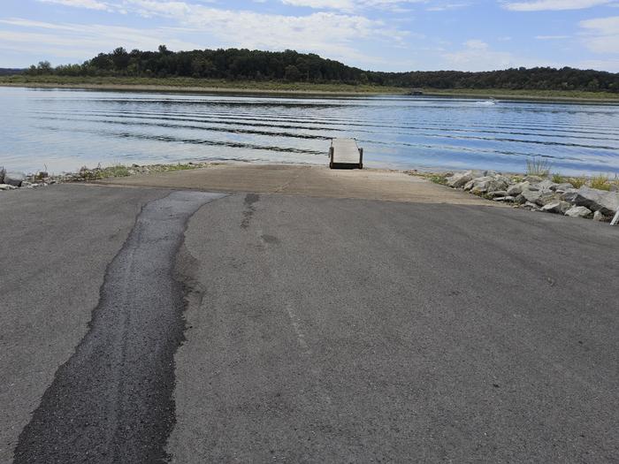
Enjoy the beautiful scenery overlooking Bull Shoals Lake, known in the area as a water sports paradise. The park is a departure point for the Peel Ferry, which connects Highway 125 from Arkansas to Missouri. Peel Ferry is Arkansas' last remaining free ferry. It runs year-round and saves drivers a 50-mile journey around the lake.
More like this: electric hookups in Arkansas · reservable in Arkansas · big rigs in Arkansas · pets allowed in Arkansas · group sites in Arkansas
Check availability on Recreation.gov ↗


Site mix
| Standard with electric | 37 |
| group shelter electric | 1 |
Site guide
Will my RV fit
The longest site here provides 50 feet of vehicle capacity. Most sites are shorter.
38 sites in 3 loops. Tap a filter to narrow the list; the map follows.
| Site | Loop | Type | Entry | Fits, ft | Surface | Shade | Power | Water / sewer | People / vehicles | Fires |
|---|---|---|---|---|---|---|---|---|---|---|
| A01 | ALOO | Electric | Back-in | 26 | Paved | Full | 30 amp | Yes / – | 10 / 2 | Yes |
| A02 | ALOO | Electric | Back-in | 30 | Paved | Full | 30 amp | Yes / – | 10 / 2 | Yes |
| A03 | ALOO | Electric | Back-in | 30 | Paved | Full | 30 amp | Yes / – | 10 / 2 | Yes |
| A04 | ALOO | Electric | Back-in | 30 | Paved | Full | 30 amp | Yes / – | 10 / 2 | Yes |
| A05 | ALOO | Electric | 30 | Paved | Partial | 30 amp | Yes / – | 10 / 2 | Yes | |
| A06 | ALOO | Electric | Back-in | 30 | Paved | Partial | 30 amp | Yes / – | 10 / 2 | Yes |
| A09 | ALOO | Electric | Back-in | 30 | Gravel | Partial | 30 amp | Yes / – | 10 / 2 | Yes |
| A11 | ALOO | Electric | Back-in | 30 | Paved | 30 amp | Yes / – | 10 / 2 | Yes | |
| B01 | BLOO | Electric | Back-in | 30 | Paved | Partial | 50 amp | Yes / – | 10 / 2 | Yes |
| B02 | BLOO | Electric | Back-in | 36 | Paved | Partial | 50 amp | Yes / – | 10 / 2 | Yes |
Per-site records as published by the managing agency on Recreation.gov. Blank cells mean the agency listed nothing for that site. Check-in 4:00 PM, checkout 3:00 PM.
Amenities & rules
| Hookups | Electric, water |
| Max vehicle length | 50 ft |
| Equipment | RVs & trailers, Tents |
| Pets | Allowed |
| Campfires | Allowed, subject to restrictions |
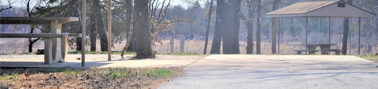
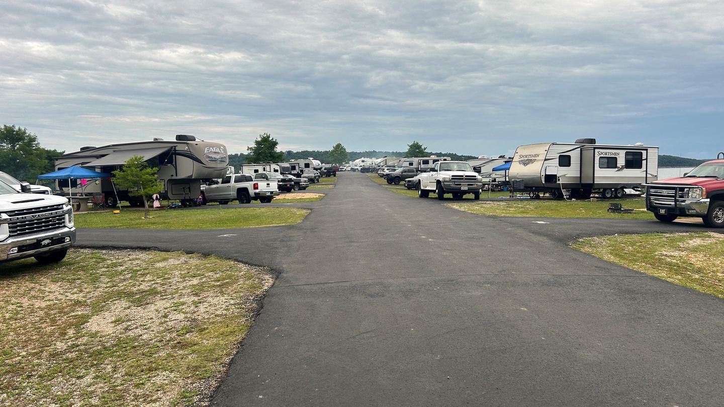
The 39 campsites are equipped with electric hookups, drinking water and showers. The site has a designated swimming area and marina. Groups of up to 50 can reserve the group picnic shelter, which is beside the playground.
Individual sites vary. Confirm on Recreation.gov or with the managing office.
Weather by month
Getting there
From Yellville, AR. take SR 14 for 14 miles northwest to SR 125, go north on SR 125 for 13 miles. Follow signs into campground.
| Nearest town | Peel, Arkansas |
| Coordinates | 36.4897° N, 92.7728° W · Directions ↗ |
Charges and cancellations
Cancellations up to 2 days before a reservation start date incur a $10.00 cancellation fee.
Supplies & services
| Outdoor gear | Ozark Mountain Trading Company ↗ | 20.2 mi |
| RV sales & service | Blue Compass RV ↗ | 22.2 mi |
| Dump station | Dump station ↗ | 35.8 mi |
Locations © OpenStreetMap contributors. Call ahead; hours change seasonally.
Explore
Video
Mysterious Peel Ferry: Bull Shoals Lake's Hidden Gem
Worth a stop
Visit the Bull Shoals-White River State Park and explore its two hiking trails: the Big Bluff Trail and the Lakeside Trail. Consider a ferry ride to explore scenic drives on the Missouri side of the lake.
- 12.4 miBull Shoals Marina ↗Boat launch
Public land it sits in
Hercules-Glades Wilderness begins about 13.7 miles away, and it is the closest of these.
- 13.7 miHercules-Glades Wilderness ↗Wilderness · Forest Service · 12,423 acres
Each unit is published as a centre point and an acreage rather than a boundary, so this section stands it in for a circle of the same area. Whether a campground is inside, and how far it is from one it is outside, are both approximate.
Other campgrounds nearby


On the National Register nearby
- Big SpringStructure · Bull Shoals · 13.9 mi
- Fairview School BuildingBuilding · Fairview · 14.2 mi
Natural features
Blue Shoals Lake spans more than 71,000 acres across the northern edge of Arkansas and the southern edge of Missouri. The lake was created in 1951 with the completion of the massive concrete dam, Blue Shoals Dam. The lake is surrounded by dense forest along the rolling foothills of the Arkansas Ozarks.
Recreation
The surplus of water activities keep visitors entertained for many days of vacation. Hiking and birding are also rewarding pastimes here.
Guidebooks for Arkansas
We earn a small commission if you buy through these links. It does not change what we list.
Titles come from Open Library's catalog, matched by subject heading or by title.
Reference
Questions people ask
Do I need a reservation at Highway 125 Park Bull Shoals?
Sites at Highway 125 Park Bull Shoals are reservable on Recreation.gov. Any walk-up sites are listed on the booking page.
Source: Recreation.gov
What time is check-in at Highway 125 Park Bull Shoals?
Check-in 4:00 PM, checkout 3:00 PM.
Source: Recreation.gov
How many sites does Highway 125 Park Bull Shoals have?
38 sites, including 37 standard sites with power and 1 group shelter electric.
Source: Recreation.gov
Will my RV fit at Highway 125 Park Bull Shoals?
The longest site here provides 50 feet of vehicle capacity. Most sites are shorter. The sidebar tool checks a trailer or motorhome length against every site.
Source: Will my RV fit
Does Highway 125 Park Bull Shoals have hookups?
Yes, electric and water hookups at some sites.
Source: Recreation.gov
Are there showers or a dump station at Highway 125 Park Bull Shoals?
The 39 campsites are equipped with electric hookups, drinking water and showers.
Source: Recreation.gov
Are pets allowed at Highway 125 Park Bull Shoals?
Yes, pets are allowed at Highway 125 Park Bull Shoals. Leash rules apply.
Source: Recreation.gov
Can I have a campfire at Highway 125 Park Bull Shoals?
Fires are allowed in the provided rings under normal conditions.
Source: Recreation.gov
What is there to do at Highway 125 Park Bull Shoals?
The surplus of water activities keep visitors entertained for many days of vacation. The Recreation section on this page has the rest.
Source: Recreation
What is the nearest town to Highway 125 Park Bull Shoals?
Peel, Arkansas. Visit the Bull Shoals-White River State Park and explore its two hiking trails: the Big Bluff Trail and the Lakeside Trail.
Source: Getting there
What if Highway 125 Park Bull Shoals is full?
The nearest public campgrounds are Buck Creek (1.3 mi), Lead Hill (8.3 mi), and Oakland Park (8.7 mi).
Source: Campgrounds nearby