Gamaliel
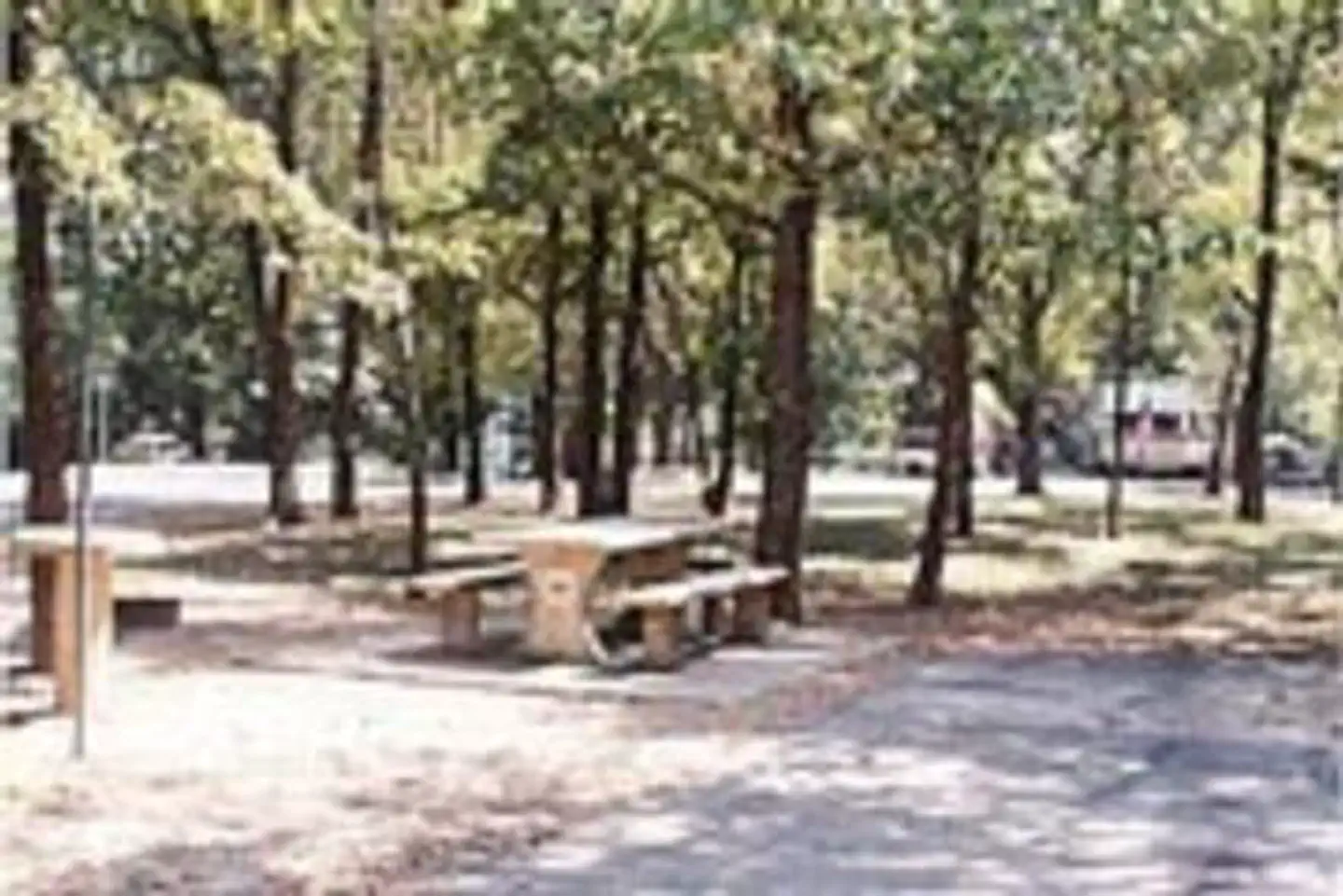
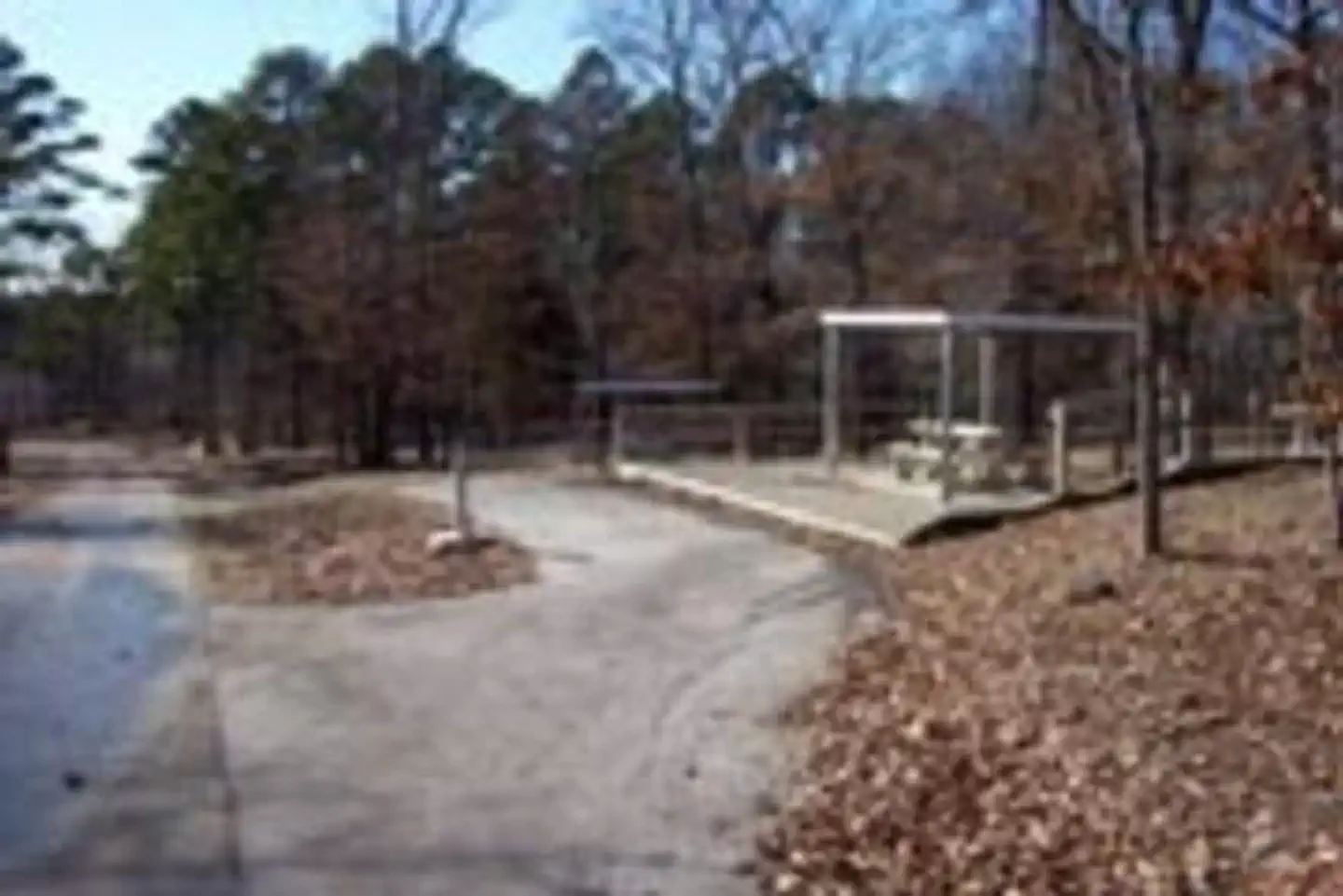
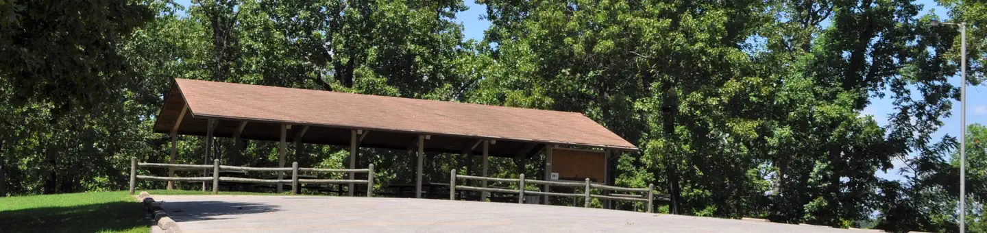
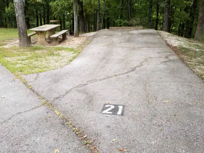
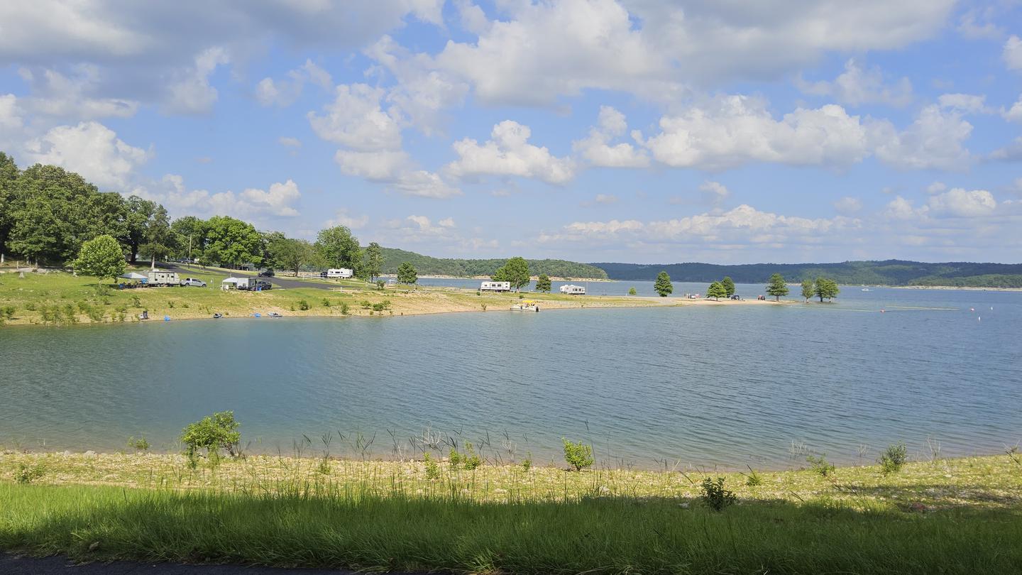
Gamaliel Campground is conveniently located on the Bennetts Bayou area of Norfork Lake. Most sites are shaded beneath tall trees, while others come equipped with canopies to shade the picnic tables. Norfork Lake boasts plenty of secluded coves for water sports and breezy, open stretches for sailing. There are 19 well-maintained Army Corps of Engineers parks along the lake for bountiful water sport opportunities.
More like this: electric hookups in Arkansas · reservable in Arkansas · big rigs in Arkansas · pets allowed in Arkansas · group sites in Arkansas
Check availability on Recreation.gov ↗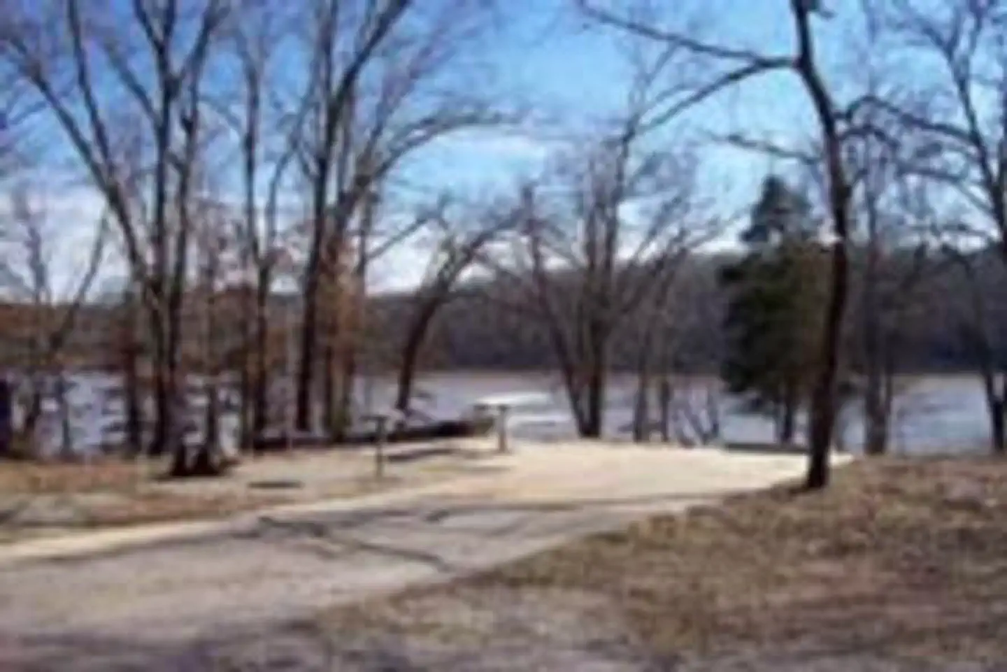
Site mix
| Standard with electric | 63 |
| group shelter electric | 1 |
Site guide
Will my RV fit
The longest site here provides 40 feet of vehicle capacity. Most sites are shorter.
64 sites. Tap a filter to narrow the list; the map follows.
| Site | Type | Entry | Fits, ft | Surface | Shade | Power | Water / sewer | Waterfront | People / vehicles | Fires | Accessible |
|---|---|---|---|---|---|---|---|---|---|---|---|
| 01 | Electric | Back-in | 26 | Paved | Full | 30 amp | No / – | 10 / 2 | Yes | ||
| 02 | Electric | Back-in | 26 | Paved | Partial | 30 amp | No / – | 10 / 2 | Yes | ||
| 03 | Electric | Back-in | 26 | Paved | Partial | 30 amp | Yes / – | 10 / 2 | Yes | ||
| 04 | Electric | Back-in | 25 | Paved | Partial | 30 amp | No / – | 10 / 2 | Yes | ||
| 05 | Electric | Back-in | 26 | Paved | Partial | 30 amp | Yes / – | 10 / 2 | Yes | ||
| 06 | Electric | Back-in | 26 | Paved | Partial | 30 amp | Yes / – | 10 / 2 | Yes | ||
| 07 | Electric | Back-in | 32 | Paved | Partial | 30 amp | No / – | 10 / 2 | Yes | ||
| 08 | Electric | Back-in | 32 | Paved | Partial | 30 amp | Yes / – | 10 / 2 | Yes | ||
| 09 | Electric | Back-in | 26 | Paved | Partial | 30 amp | No / – | 10 / 2 | Yes | ||
| 10 | Electric | Back-in | 35 | Paved | Partial | 30 amp | Yes / – | 10 / 2 | Yes |
Per-site records as published by the managing agency on Recreation.gov. Blank cells mean the agency listed nothing for that site. Check-in 4:00 PM, checkout 3:00 PM.
Amenities & rules
| Hookups | Electric, water |
| Max vehicle length | 40 ft |
| Equipment | RVs & trailers, Tents |
| Pets | Allowed |
| Campfires | Allowed, subject to restrictions |
| Accessibility | Sites 36, 62, 64 are listed accessible |
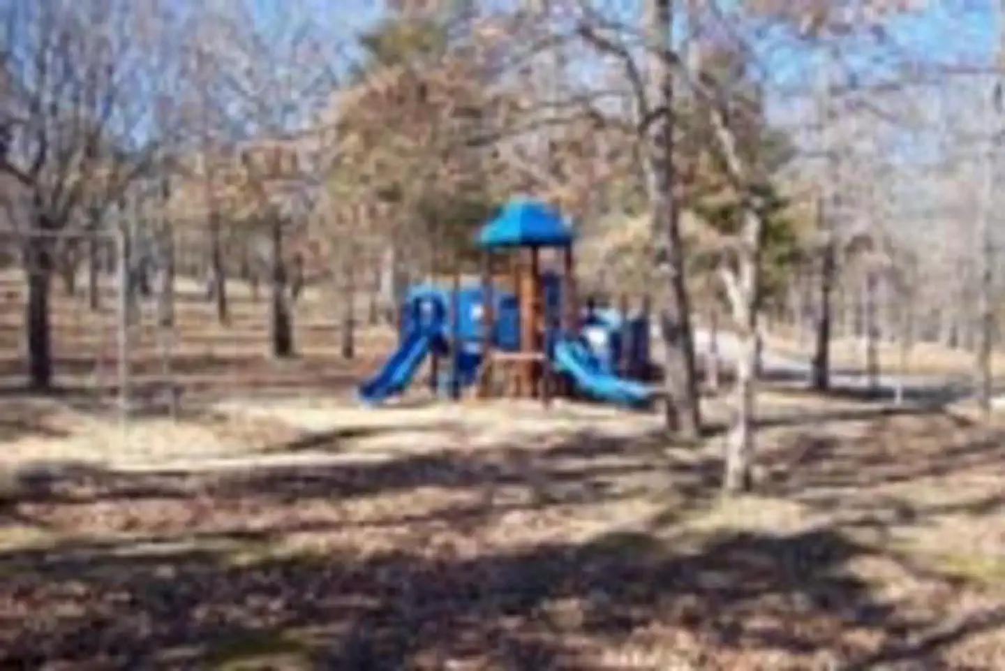
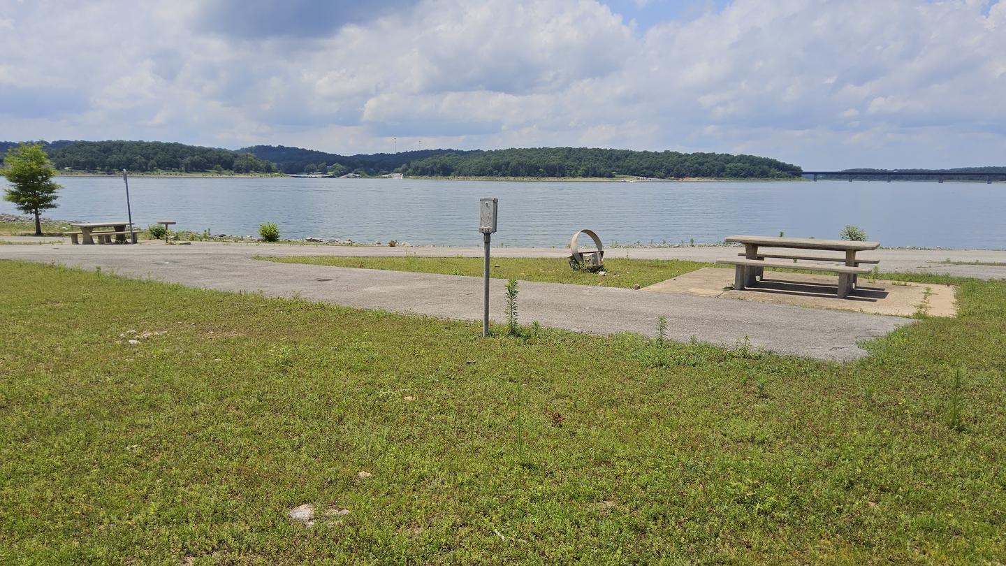
The 64 campsites have electric hookups and drinking water. A boat ramp, playground, swim beach and marina are also on-site. Most campsites do not have a view of the lake.
Individual sites vary. Confirm on Recreation.gov or with the managing office.
Weather by month
Getting there
From Mountain Home, AR, travel 9 miles east on US 412/62, then 5 miles north on SR 101, then 3 miles southeast on CR 42. Follow signs into campground.
| Nearest town | Gamaliel, Arkansas |
| Coordinates | 36.4211° N, 92.2222° W · Directions ↗ |
Charges and cancellations
Cancellations up to 2 days before a reservation start date incur a $10.00 cancellation fee.
Supplies & services
| Outdoor gear | Norfork Adventure Supply ↗ | 15.2 mi |
| RV sales & service | Blue Compass RV ↗ | 15.5 mi |
| Dump station | Dump station ↗ | 31.6 mi |
Locations © OpenStreetMap contributors. Call ahead; hours change seasonally.
Explore
Video
Three Oaks Resort, Gamaliel, Arkansas - Resort Reviews
Other campgrounds nearby
On the National Register nearby
- County Line School and LodgeBuilding · Gepp · 6.1 mi
- Case–Shiras–Dearmore HouseBuilding · Mountain Home · 10.6 mi
- Baxter County CourthouseBuilding · Mountain Home · 10.8 mi
Natural features
Norfork Lake stems from the North Fork River in northern Arkansas. It's about 25 miles east of Bull Shoals lake, and cuts through the Ozark Mountains. The Ozarks are made from a heavily eroded plateau, shaped and carved by hundreds of streams over thousands of years. The region attracts a wide array of plants and animals.
Recreation
Explore the mile-long nature trail that loops from the campground. Sailing the open waters makes for an exciting water activity. Scuba diving in the lake is common, attracting divers from neighboring U.S. states. For visitors interested in fishing, Norfork Lake is stocked annually, and it's not unheard of to catch striped bass over 40 pounds.
Nearby
Head south to see the Ozark National Forest and head west to see Bull Shoals Lake, a similar man-made lake that's larger in size and equally entertaining as Norfork.
Guidebooks for Arkansas
We earn a small commission if you buy through these links. It does not change what we list.
Titles come from Open Library's catalog, matched by subject heading or by title.
Reference
Questions people ask
Do I need a reservation at Gamaliel?
Sites at Gamaliel are reservable on Recreation.gov. Any walk-up sites are listed on the booking page.
Source: Recreation.gov
What time is check-in at Gamaliel?
Check-in 4:00 PM, checkout 3:00 PM.
Source: Recreation.gov
How many sites does Gamaliel have?
64 sites, including 63 standard sites with power and 1 group shelter electric.
Source: Recreation.gov
Will my RV fit at Gamaliel?
The longest site here provides 40 feet of vehicle capacity. Most sites are shorter. The sidebar tool checks a trailer or motorhome length against every site.
Source: Will my RV fit
Does Gamaliel have hookups?
Yes, electric and water hookups at some sites.
Source: Recreation.gov
Are pets allowed at Gamaliel?
Yes, pets are allowed at Gamaliel. Leash rules apply.
Source: Recreation.gov
Can I have a campfire at Gamaliel?
Fires are allowed in the provided rings under normal conditions.
Source: Recreation.gov
Are there accessible sites at Gamaliel?
Sites 36, 62, and 64 are listed accessible on Recreation.gov. What that covers (a paved pad, an accessible table, a nearby accessible restroom) is on each site's booking page.
Source: Recreation.gov
Is there cell service at Gamaliel?
FCC coverage maps show Verizon 4G LTE at the campground point. Terrain changes that from one site to the next.
Source: FCC Broadband Map
What is there to do at Gamaliel?
Explore the mile-long nature trail that loops from the campground. The Recreation section on this page has the rest.
Source: Recreation
What is the nearest town to Gamaliel?
Gamaliel, Arkansas. Head south to see the Ozark National Forest and head west to see Bull Shoals Lake, a similar man-made lake that's larger in size and equally entertaining as Norfork.
Source: Getting there
What if Gamaliel is full?
The nearest public campgrounds are Bidwell Point Park (2.6 mi), Henderson Park (3.1 mi), and Panther Bay Park (3.8 mi).
Source: Campgrounds nearby