Beaver Creek
Escape from the hustle and bustle of city-life at Beaver Creek, a small, quiet campground tucked between a forested area and the lower shores of Bull Shoals Lake. The lake, in the beautiful Ozark Mountains, attracts visitors year-round as each season unfolds a new panorama.
More like this: electric hookups in Missouri · reservable in Missouri · big rigs in Missouri · pets allowed in Missouri · group sites in Missouri
Check availability on Recreation.gov ↗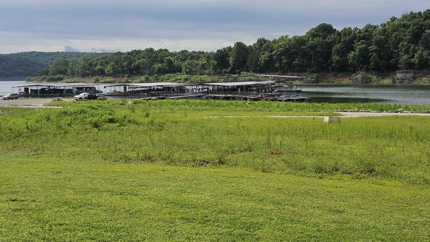

Site mix
| Standard with electric | 33 |
| group shelter electric | 1 |
Site guide
Will my RV fit
The longest site here provides 42 feet of vehicle capacity. Most sites are shorter.
34 sites. Tap a filter to narrow the list; the map follows.
| Site | Type | Entry | Fits, ft | Surface | Shade | Power | Water / sewer | People / vehicles | Fires |
|---|---|---|---|---|---|---|---|---|---|
| 02 | Electric | Back-in | 30 | Paved | Full | 30 amp | Yes / – | 10 / 2 | Yes |
| 03 | Electric | Back-in | 30 | Paved | Partial | 30 amp | Yes / – | 10 / 2 | Yes |
| 04 | Electric | Back-in | 30 | Paved | Partial | 30 amp | Yes / – | 10 / 2 | Yes |
| 05 | Electric | Back-in | 26 | Paved | Partial | 30 amp | Yes / – | 10 / 2 | Yes |
| 06 | Electric | Back-in | 30 | Paved | Full | 30 amp | Yes / – | 10 / 2 | Yes |
| 07 | Electric | Back-in | 36 | Paved | Partial | 30 amp | Yes / – | 10 / 2 | Yes |
| 08 | Electric | Back-in | 42 | Paved | 30 amp | Yes / – | 10 / 2 | Yes | |
| 09 | Electric | Back-in | 42 | Paved | 30 amp | Yes / – | 10 / 2 | Yes | |
| 10 | Electric | Back-in | 36 | Paved | Partial | 30 amp | Yes / – | 10 / 2 | Yes |
| 11 | Electric | Back-in | 36 | Paved | 30 amp | Yes / – | 10 / 2 | Yes |
Per-site records as published by the managing agency on Recreation.gov. Blank cells mean the agency listed nothing for that site. Check-in 4:00 PM, checkout 3:00 PM.
Amenities & rules
| Hookups | Electric, water |
| Max vehicle length | 42 ft |
| Equipment | RVs & trailers, Tents |
| Pets | Allowed |
| Campfires | Allowed, subject to restrictions |
| Tent pads | Yes |
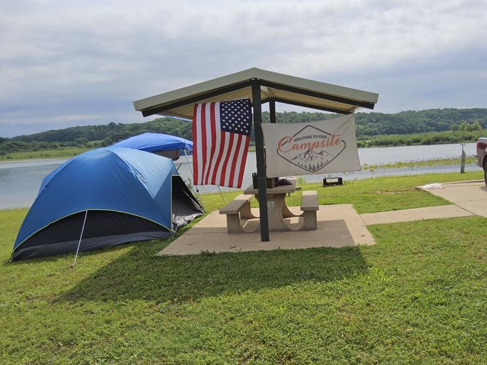
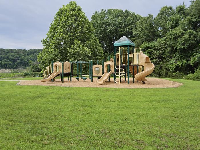
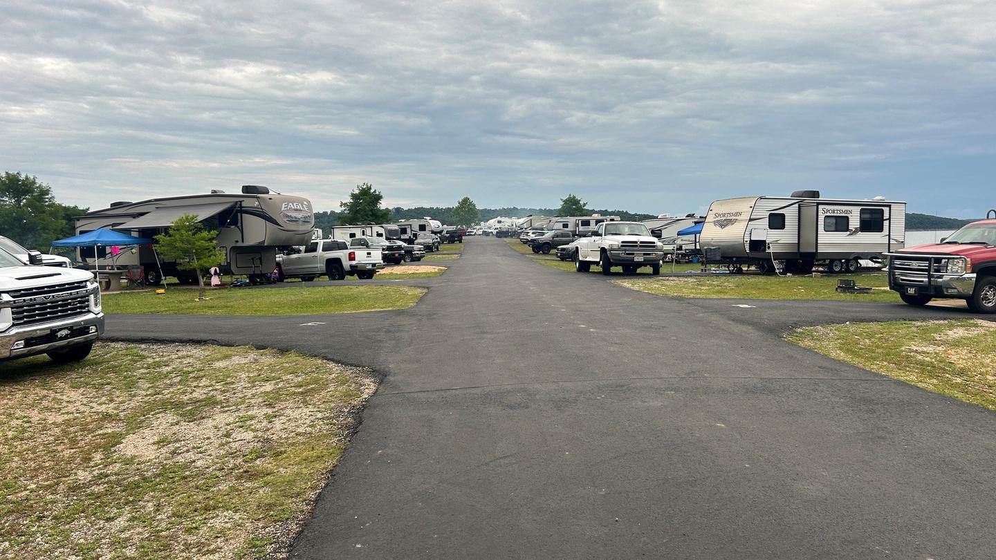
Beaver Creek hosts 33 campsites with electrical hookups and hot showers. A group shelter, playground and marina are also on-site.
Individual sites vary. Confirm on Recreation.gov or with the managing office.
Weather by month
Getting there
From Mountain Home, AR, travel north on State Route 5 for 24 miles to US 160. Follow 160 west for 42 miles to Kissee Mills, MO to junction of State Route O; go left on State Route O. Follow signs to the park.
| Nearest town | Kissee Mills, Missouri |
| Coordinates | 36.6397° N, 93.0458° W · Directions ↗ |
Charges and cancellations
Cancellations up to 2 days before a reservation start date incur a $10.00 cancellation fee.
Supplies & services
| Dump station | Dump station ↗ | 22.1 mi |
| Outdoor gear | Dynamic Earth ↗ | 36.8 mi |
| RV sales & service | Youngblood RV ↗ | 38.8 mi |
Locations © OpenStreetMap contributors. Call ahead; hours change seasonally.
Explore
Video
Beaver Creek Campground in Branson Mo
Public land it sits in
Hercules-Glades Wilderness begins about 5 miles away, and it is the closest of these.
- 5 miHercules-Glades Wilderness ↗Wilderness · Forest Service · 12,423 acres
Each unit is published as a centre point and an acreage rather than a boundary, so this section stands it in for a circle of the same area. Whether a campground is inside, and how far it is from one it is outside, are both approximate.
Other campgrounds nearby

On the National Register nearby
- Swan Creek BridgeStructure · Forsyth · 4.8 mi
- Samuel T. and Mary B. Parnell HouseBuilding · Branson · 9 mi
- Branson City Park Historic DistrictHistoric district · Branson · 9.3 mi
Natural features
The campground is in south-central Missouri along the Beaver Creek arm of Bull Shoals Lake. Sturdy, green hardwoods and cedar glades encompass the rocky bluffs and unique rock formations of the mountains.
Recreation
Hiking, birding, all types of water sports, and in-season hunting are featured attractions. Spring and fall are the best seasons for fishing, but spotted bass, crappie and similar fish can be sought throughout the year.
Nearby
Visit the Jones Point State Wildlife Management Area for promising wildlife spotting and birding. The lively tourist town of Branson is just 30 minutes away. Here, visitors can shop, dine and find live music.
Guidebooks for Missouri
We earn a small commission if you buy through these links. It does not change what we list.
Titles come from Open Library's catalog, matched by subject heading or by title.
Reference
Questions people ask
Do I need a reservation at Beaver Creek?
Sites at Beaver Creek are reservable on Recreation.gov. Any walk-up sites are listed on the booking page.
Source: Recreation.gov
What time is check-in at Beaver Creek?
Check-in 4:00 PM, checkout 3:00 PM.
Source: Recreation.gov
How many sites does Beaver Creek have?
34 sites, including 33 standard sites with power and 1 group shelter electric.
Source: Recreation.gov
Will my RV fit at Beaver Creek?
The longest site here provides 42 feet of vehicle capacity. Most sites are shorter. The sidebar tool checks a trailer or motorhome length against every site.
Source: Will my RV fit
Does Beaver Creek have hookups?
Yes, electric and water hookups at some sites.
Source: Recreation.gov
Are there showers or a dump station at Beaver Creek?
Beaver Creek hosts 33 campsites with electrical hookups and hot showers.
Source: Recreation.gov
Are pets allowed at Beaver Creek?
Yes, pets are allowed at Beaver Creek. Leash rules apply.
Source: Recreation.gov
Can I have a campfire at Beaver Creek?
Fires are allowed in the provided rings under normal conditions.
Source: Recreation.gov
Is there cell service at Beaver Creek?
FCC coverage maps show AT&T 4G LTE at the campground point. Terrain changes that from one site to the next.
Source: FCC Broadband Map
What is there to do at Beaver Creek?
Hiking, birding, all types of water sports, and in-season hunting are featured attractions. The Recreation section on this page has the rest.
Source: Recreation
What is the nearest town to Beaver Creek?
Kissee Mills, Missouri. Visit the Jones Point State Wildlife Management Area for promising wildlife spotting and birding.
Source: Getting there
What if Beaver Creek is full?
The nearest public campgrounds are River Run Park (4.2 mi), Tucker Hollow Park (11.5 mi), and Lead Hill (13.3 mi).
Source: Campgrounds nearby