Ohanapecosh Group Campground
This facility is the group site at Ohanapecosh Campground. Ohanapecosh, on the southeast side of Mount Rainier National Park, is surrounded by old growth forest and crossed by an exceptionally beautiful snow-fed river. Close to Ohanapecosh are popular hikes to Silver Falls. The Grove of the Patriarchs trail is closed to public access until the bridge accessing the Grove is replaced. The main attraction at Mount Rainier National Park is the mountain itself, a glacier-clad volcano of immense proportions. At 14,411 ft. it dominates the skyline for hundreds of miles.
This is the group site. Looking for the main campground? Ohanapecosh Campground, 192 sites, is next door.
More like this: reservable in Washington · tent only in Washington · pets allowed in Washington · group sites in Washington
Check availability on Recreation.gov ↗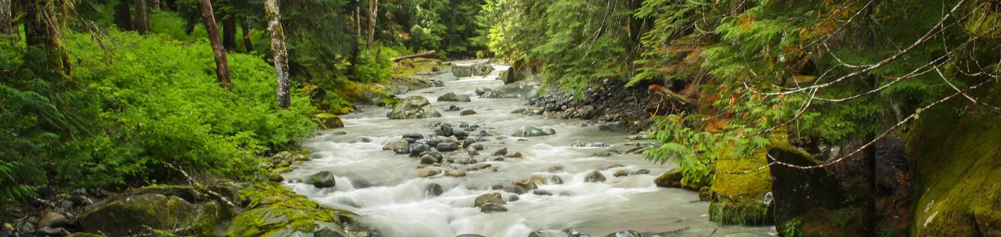
Site mix
| Group tent areas | 2 |
Site guide
2 sites in 2 loops. Tap a filter to narrow the list; the map follows.
| Site | Loop | Fits, ft | Surface | Shade | People / vehicles | Fires |
|---|---|---|---|---|---|---|
| GRP 2 | Group 2 C Loop | Partial | 25 / 5 | Yes | ||
| GRP1 | Loop A | 20 | Paved | Partial | 25 / 5 | Yes |
Per-site records as published by the managing agency on Recreation.gov. Blank cells mean the agency listed nothing for that site. Check-in 12:00 PM, checkout 12:00 PM.
Amenities & rules
| Equipment | Tents |
| Pets | Allowed |
| Campfires | Allowed, subject to restrictions |
There are two group sites. Both have tent-only camping, and each can fit up to 25 people. Drinking water is provided. Visitors must use extra caution with food storage, as bear and other animals inhabit the area around the campground.
Individual sites vary. Confirm on Recreation.gov or with the managing office.
Weather by month
Getting there
Located on State Route 123, four miles north of State Route 12.
| Nearest town | Packwood, Washington |
| Coordinates | 46.7311° N, 121.5703° W · Directions ↗ |
Fire nearby
- WildfireWest Fork
16 mi from the campground · 310 acres · 16% contained
- WildfireThree Queens
49 mi from the campground · 9,575 acres · 33% contained
Distance is to the reported incident point, not the fire edge. Call the managing office before you drive.
Supplies & services
| Dump station | Dump Station ↗ | 10.8 mi |
| Outdoor gear | RMI Rentals ↗ | 22.1 mi |
| RV sales & service | Sunset RV ↗ | 37 mi |
Locations © OpenStreetMap contributors. Call ahead; hours change seasonally.
Explore
Worth a stop
- 5.4 miTrailhead: Bluff Lake ↗Trailhead
- 8.7 miParadise Wilderness Information Center ↗Visitor center
- 8.9 miTrailhead: Packwood Lake ↗Trailhead
- 10.8 miWhite Pass Day Use/Boat Launch/Trailhead ↗Boat launch
- 11.3 miDog Lake Day Use/Boat Launch/Trailhead ↗Boat launch
- 11.5 miLongmire Wilderness Information Center ↗Visitor center
Trails nearby
- 1.1 miCarlton Creek ↗7.6 mi trail
- 2.1 miBackbone2.6 mi trail
- 3.5 miBlue Hole0.08 mi trail
- 3.8 miRiver View1.4 mi trail
- 3.8 miBackbone Lake0.5 mi trail
- 4 miKincaid ↗8.8 mi trail
Trail and trailhead records are the Forest Service's. Distances are straight-line to the nearer trail end. Trail conditions are not tracked here.
Public land it sits in
Mount Rainier Wilderness begins about 0.4 miles away, and it is the closest of these.
- 0.4 miMount Rainier Wilderness ↗Wilderness · National Park Service · 228,480 acres
- 2.2 miTatoosh Wilderness ↗Wilderness · Forest Service · 15,776 acres
- 4.2 miWilliam O. Douglas Wilderness ↗Wilderness · Forest Service · 168,955 acres
Each unit is published as a centre point and an acreage rather than a boundary, so this section stands it in for a circle of the same area. Whether a campground is inside, and how far it is from one it is outside, are both approximate.
Other campgrounds nearby

Historic landmarks nearby

Natural features
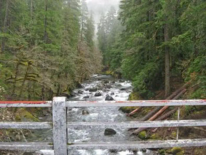
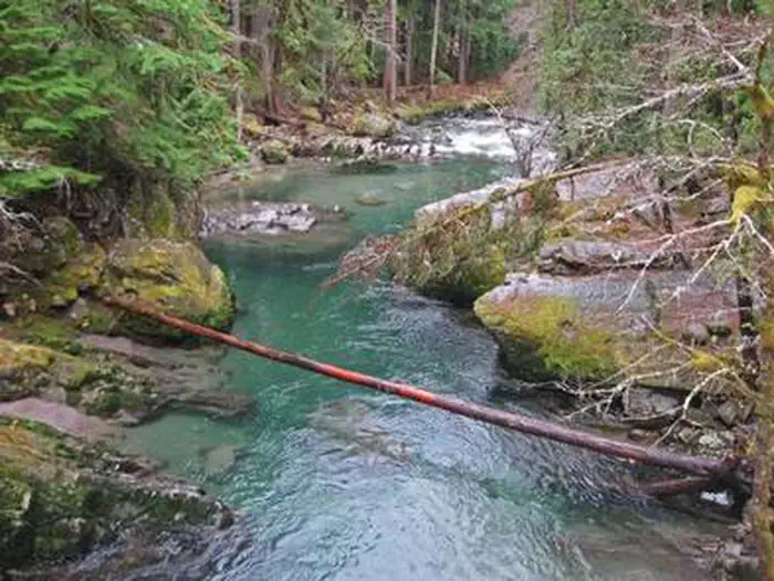
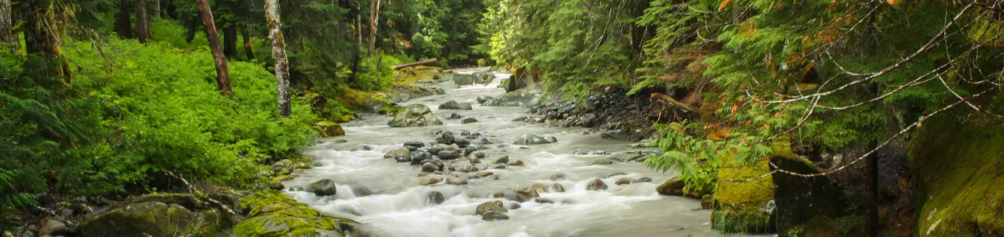
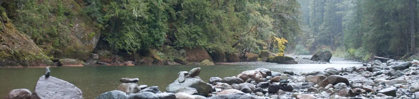
Ohanapecosh is thought to be a Taidnapam Indian word for "standing on the edge" of the Ohanapecosh River. The river itself is lined with mossy boulders and drains cold, clear water from higher elevations. Its banks are lined with thick, old growth Douglas fir trees and other evergreens. There is no direct view of Mt. Rainier from the campground, but the mountain dominates the landscape in nearby areas of the park.
Recreation
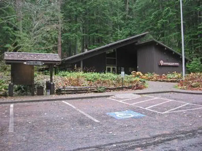
The most popular campground in the park, Ohanapecosh is convenient to both the Paradise and Sunrise areas. Numerous hiking trails originate both in and nearby the facility, including the several trails that lead to Silver Falls waterfall. For visitors who would like to learn more about natural and cultural history, the Ohanapecosh Visitor Center is close by as well. Grove of the Patriarchs - The Grove of the Patriarchs is CLOSED to all public entry due to flooding in November 2021 which caused significant damage to the suspension bridge that provides the only safe access to the area ( News Release, 11/17/21 ). The Grove of the Patriarchs Trail will remain closed until the bridge can be replaced. During the closure, the Grove of the Patriarchs parking lot and restrooms have normal seasonal access, along with the Eastside and Silver Falls Trails. Construction to replace the bridge is scheduled to begin summer 2027.
Guidebooks for Mount Rainier National Park
We earn a small commission if you buy through these links. It does not change what we list.
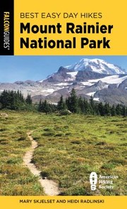 Best Easy Day Hikes Mount Rainier National ParkDi Heidi Schneider and Mary Skjelset, 2024Find at Bookshop.org
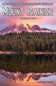 Landscape Photographer's Guide to Mount Rainier National ParkAnthony Jones, 2021Find at Bookshop.org
Titles come from Open Library's catalog, matched by subject heading or by title.
Reference
Questions people ask
Do I need a reservation at Ohanapecosh Group Campground?
Sites at Ohanapecosh Group Campground are reservable on Recreation.gov. Any walk-up sites are listed on the booking page.
Source: Recreation.gov
What time is check-in at Ohanapecosh Group Campground?
Check-in 12:00 PM, checkout 12:00 PM.
Source: Recreation.gov
How many sites does Ohanapecosh Group Campground have?
2 sites, including 2 group tent areas.
Source: Recreation.gov
Can I bring an RV to Ohanapecosh Group Campground?
Ohanapecosh Group Campground is listed for tents only.
Source: Recreation.gov
Are pets allowed at Ohanapecosh Group Campground?
Yes, pets are allowed at Ohanapecosh Group Campground. Leash rules apply.
Source: Recreation.gov
Can I have a campfire at Ohanapecosh Group Campground?
Fires are allowed in the provided rings under normal conditions. As of 2026-10-16, there are 2 active fires within 50 miles, so check current restrictions before you light one.
Source: Fire nearby
What is there to do at Ohanapecosh Group Campground?
The most popular campground in the park, Ohanapecosh is convenient to both the Paradise and Sunrise areas. The Recreation section on this page has the rest.
Source: Recreation
What is the nearest town to Ohanapecosh Group Campground?
Packwood, Washington.
Source: Getting there
What if Ohanapecosh Group Campground is full?
The nearest public campgrounds are Ohanapecosh Campground (under 0.1 mi), Campground: Coho Group Camp (3.7 mi), and La Wis Wis Campground (4 mi, partly first-come).
Source: Campgrounds nearby
Which national park is Ohanapecosh Group Campground in?
Ohanapecosh Group Campground is a Mount Rainier National Park campground. Entrance fees, alerts, and hours are on Park Atlas.
Source: Mount Rainier National Park