Red Bluff Campground
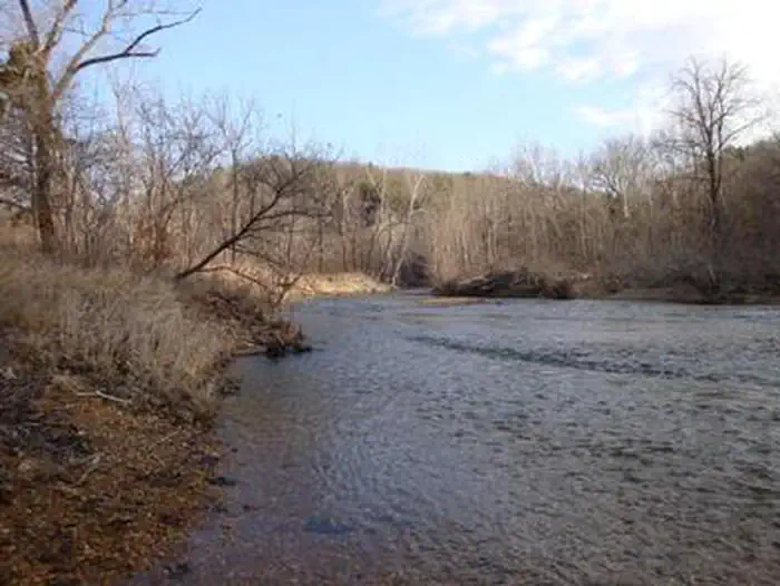
Red Bluff Campground is named for towering red bluffs along Huzzah Creek, carved by the elements over the past 10,000 years. The area used to be home to timber mills, but now provides a serene spot for camping and enjoying nature. Early settlement of the area surrounded the Boyer Mill constructed around 1830. Railroads created a thriving timber industry till the supply was depleted. The land was purchased by the U.S. Forest Service in 1940 and has been used as a recreation area. Red Bluff is located in the Potosi-Fredericktown Ranger District of the Mark Twain National Forest.
Some sites take reservations on Recreation.gov. Others are first-come, first-served.
More like this: electric hookups in Missouri · first-come in Missouri · reservable in Missouri · big rigs in Missouri · pets allowed in Missouri · group sites in Missouri
Check availability on Recreation.gov ↗

Site mix
| Standard with electric | 41 |
| group standard electric | 10 |
| Standard, no hookups | 7 |
| Group sites | 1 |
| group shelter electric | 1 |
| group shelter nonelectric | 1 |
| RV with electric | 1 |
| Host/management | 23 |
Site guide
Will my RV fit
The longest site here provides 45 feet of vehicle capacity. Most sites are shorter.
62 sites in 6 loops. Tap a filter to narrow the list; the map follows.
| Site | Loop | Type | Entry | Fits, ft | Surface | Shade | Power | Water / sewer | Waterfront | People / vehicles | Fires | Accessible | Rating |
|---|---|---|---|---|---|---|---|---|---|---|---|---|---|
| CL1 | Creek Loop | Electric | Back-in | 40 | Paved | None | 50/30 amp | No / – | 8 / 2 | Yes | Yes | Standard | |
| CL2 | Creek Loop | Electric | Back-in | 40 | Paved | None | 50/30 amp | No / – | 8 / 2 | Yes | Yes | Standard | |
| CL3 | Creek Loop | Electric | Back-in | 40 | Paved | None | 50/30 amp | No / – | 8 / 2 | Yes | Yes | Standard | |
| CL4 | Creek Loop | Electric | Back-in | 40 | Paved | None | 50/30 amp | No / – | 8 / 2 | Yes | Yes | Standard | |
| CL5 | Creek Loop | Electric | Back-in | 40 | Paved | None | 50/30 amp | No / – | 8 / 2 | Yes | Yes | Standard | |
| CL6 | Creek Loop | Electric | Back-in | 40 | Paved | None | 50/30 amp | No / – | 8 / 2 | Yes | Yes | Standard | |
| CL7 | Creek Loop | Electric | Back-in | 40 | Paved | None | 50/30 amp | No / – | 8 / 2 | Yes | Yes | Standard | |
| CL8 | Creek Loop | Electric | Pull-through | 40 | Paved | None | 50/30 amp | No / – | 8 / 2 | Yes | Yes | Standard | |
| CL9 | Creek Loop | Electric | Back-in | 40 | Paved | None | 50/30 amp | No / – | 8 / 2 | Yes | Yes | Standard | |
| CL10 | Creek Loop | Electric | Back-in | 40 | Paved | None | 50/30 amp | No / – | 8 / 2 | Yes | Yes | Standard |
Per-site records as published by the managing agency on Recreation.gov. Blank cells mean the agency listed nothing for that site. Check-in 2:00 PM, checkout 11:00 AM.
Amenities & rules
| Hookups | Electric |
| Max vehicle length | 60 ft |
| Equipment | RVs & trailers, Tents |
| Pets | Allowed |
| Campfires | Allowed, subject to restrictions |
| Accessibility | Sites CL1, CL2, CL3, CL4 and 49 more are listed accessible |
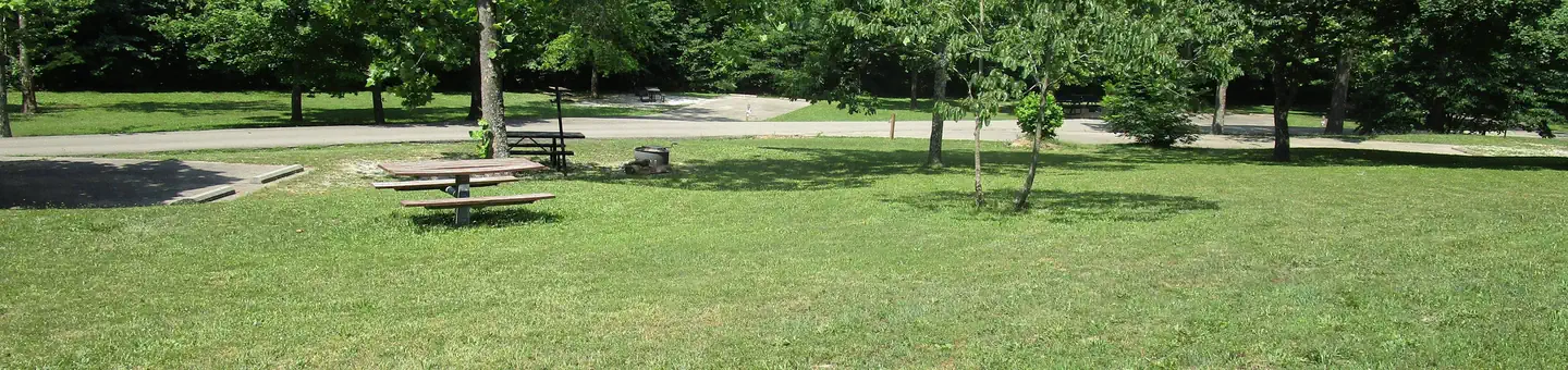
The campground offers several large sites available for tent and RV camping. All campground loops offer 30 amp & 50 amp pedestals, except for Pines Overlook (PO). Individual picnic sites are available as well, some of which have shelters. Two accessible group picnic shelters can be reserved and can accommodate up to 74 people (PAV 1 has electric and lighting). Each site is equipped with a picnic table, lantern post and campfire ring with grill. Vault toilets, flush toilets, showers and drinking water are provided. The roads within the campground are paved.
Individual sites vary. Confirm on Recreation.gov or with the managing office.
Season & status
| Status | Closed for the season. Forest Service sites close for the season; check the official page for the reopening date. |
| Season | May 2 |
| Forest | Mark Twain National Forest |
| Fees | Day-Use Fee: $5.00 per vehicle. $10.00 per bus. $40.00 for season pass. Group Day-Use: $50 per day (74 people max). Pavilion - $30.00 per day. Camping Fees: $15 per single site. $25 per single electric. $25 per double site. $35 per double electric. Group site camping $50 for 0- 50 people. |
| Rules | Flash flooding is possible in the area. At each single site you are allowed two vehicles and one towed vehicle (e.g. a pop-up, fifth-wheel, etc). Double campsites accommodate twice the number of vehicles. At Group Sites 1 and 2, you are allowed 6 cars and 3 towed vehicles. At Group Site 3, you are allowed 10 cars and 5 towed vehicles. |
Weather by month
Getting there
From St. Louis, Missouri, take I-44 west to Cuba. Continue on Highway 19 south to Cherryville. Take 49 south to Highway V, turn left to Davisville and travel approximately 1 mile and turn left into the campground.
| Nearest town | Viburnum, Missouri |
| Coordinates | 37.8164° N, 91.1664° W · Directions ↗ |
Supplies & services
| Outdoor gear | Ozark Outdoors ↗ | 16.9 mi |
| Dump station | Dump station ↗ | 17 mi |
| RV sales & service | Bourbon RV ↗ | 23.7 mi |
Locations © OpenStreetMap contributors. Call ahead; hours change seasonally.
Explore
Video
The All New Red Bluff Campground - Davisville Missouri
Other campgrounds nearby


On the National Register nearby
- Osterhout Mound ParkSite · Hannibal · 14.4 mi
Recreation
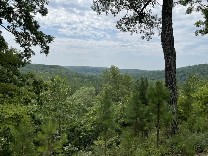
Many sites are within 200 yards of Huzzah Creek, where tubing and swimming are enjoyed by visitors. The water can be swift-moving at times and rocks and drop-offs are not marked. Fishing is also popular in the area and anglers can expect to find bass, perch and catfish. The Red Bluff Trail lies within the boundaries of the campground. It is a 1.2-mile loop that winds through a pine plantation and big oak timber, into an adjoining hollow before returning to the campground. The short trail provides an opportunity for visitors to enjoy a variety of ecological communities, while reaping the benefits of a half-hour of hiking.
Nearby
This campground is located in southeastern Missouri, approximately one mile from the town of Davisville.
Guidebooks for Missouri
We earn a small commission if you buy through these links. It does not change what we list.
Titles come from Open Library's catalog, matched by subject heading or by title.
Reference
Questions people ask
Do I need a reservation at Red Bluff Campground?
For some sites. Some sites take reservations on Recreation.gov. Others are first-come, first-served.
Source: Recreation.gov
How much does it cost to camp at Red Bluff Campground?
Day-Use Fee: $5.00 per vehicle. $10.00 per bus. $40.00 for season pass.
Source: Recreation.gov
What time is check-in at Red Bluff Campground?
Check-in 3:00 PM, checkout 2:00 PM.
Source: Recreation.gov
Is Red Bluff Campground open right now?
Closed for the season as of Oct 16, 2026. Season May 2.
Source: Forest Service status
How many sites does Red Bluff Campground have?
85 sites, including 41 standard sites with power, 10 group standard electric, 7 standard sites without power, and 1 group site.
Source: Recreation.gov
Will my RV fit at Red Bluff Campground?
The longest site here provides 60 feet of vehicle capacity. Most sites are shorter. The sidebar tool checks a trailer or motorhome length against every site.
Source: Will my RV fit
Does Red Bluff Campground have hookups?
Yes, electric hookups at some sites.
Source: Recreation.gov
Are there showers or a dump station at Red Bluff Campground?
Vault toilets, flush toilets, showers and drinking water are provided.
Source: Recreation.gov
Are pets allowed at Red Bluff Campground?
Yes, pets are allowed at Red Bluff Campground. Leash rules apply.
Source: Recreation.gov
Can I have a campfire at Red Bluff Campground?
Fires are allowed in the provided rings under normal conditions. Flash flooding is possible in the area.
Source: Recreation.gov
Are there accessible sites at Red Bluff Campground?
Sites CL1, CL2, CL3, and CL4 are listed accessible on Recreation.gov, 53 sites in all. What that covers (a paved pad, an accessible table, a nearby accessible restroom) is on each site's booking page.
Source: Recreation.gov
Is there cell service at Red Bluff Campground?
FCC coverage maps show AT&T 4G LTE at the campground point. Terrain changes that from one site to the next.
Source: FCC Broadband Map