May Queen
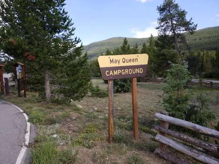
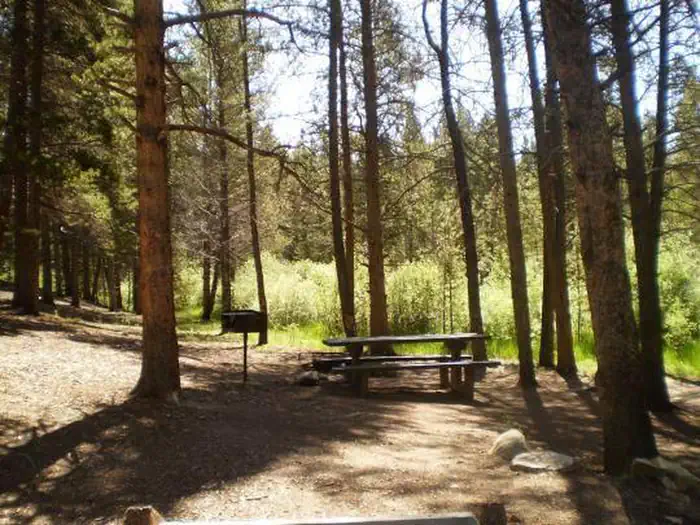
May Queen Campground is located at the far western end of Turquoise Lake in a shaded lodgepole pine forest. Conveniently perched near the Charles Boustead Memorial Tunnel, May Queen offers easy access to boating, fishing and hiking. Incredible views of the Holy Cross and Mount Massive Wildernesses can be seen from the area, and visitors are likely to see native wildlife like chipmunks, beavers and porcupines. The Charles Boustead Memorial Tunnel is a 5.5-mile tunnel that transports water from the Fryingpan and Roaring Fork River Basins through the Continental Divide to the Arkansas River Basin by emptying water into Turquoise Lake.
Some sites take reservations on Recreation.gov. Others are first-come, first-served.
More like this: first-come in Colorado · reservable in Colorado · big rigs in Colorado · pets allowed in Colorado
Check availability on Recreation.gov ↗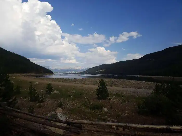
Site mix
| Standard, no hookups | 9 |
| Tent-only | 4 |
| Host/management | 15 |
Site guide
Will my RV fit
The longest site here provides 40 feet of vehicle capacity. Most sites are shorter.
13 sites. Tap a filter to narrow the list; the map follows.
| Site | Type | Entry | Fits, ft | Surface | Shade | People / vehicles |
|---|---|---|---|---|---|---|
| 001 | Tent only | Gravel | Partial | 8 / 2 | ||
| 002 | Tent only | Gravel | Partial | 8 / 2 | ||
| 003 | Tent only | Gravel | Partial | 8 / 2 | ||
| 004 | Tent only | Gravel | Partial | 8 / 2 | ||
| 010 | Standard | Pull-through | 30 | Gravel | Partial | 8 / 2 |
| 012 | Standard | Pull-through | 35 | Gravel | Partial | 8 / 2 |
| 013 | Standard | Pull-through | 35 | Gravel | Partial | 8 / 2 |
| 014 | Standard | Pull-through | 40 | Gravel | Partial | 8 / 2 |
| 015 | Standard | Pull-through | 35 | Gravel | Partial | 8 / 2 |
| 017 | Standard | Pull-through | 35 | Gravel | Partial | 8 / 2 |
Per-site records as published by the managing agency on Recreation.gov. Blank cells mean the agency listed nothing for that site. Check-in 2:00 PM, checkout 12:00 PM.
Amenities & rules
| Hookups | None |
| Max vehicle length | 99 ft |
| Equipment | RVs & trailers, Tents |
| Pets | Allowed |
| Fees | Extra Vehicle Fee $10.00 |
| Accessibility | Site XXX is listed accessible |
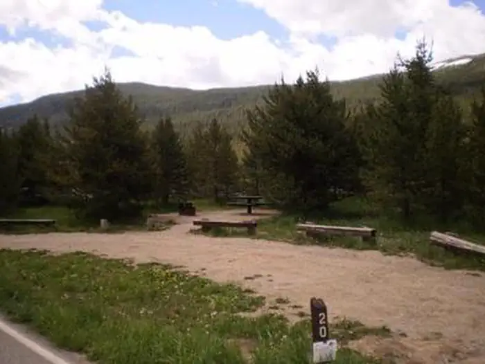
Campground offers single family sites. Each site is equipped with a campfire ring and picnic table. Vault toilets and trash collection are provided. Easy access to the lake is provided for canoes and other hand-carried boats. Trailered boats can use Matchless Boat Ramp located on the east side of Turquoise Lake.
Individual sites vary. Confirm on Recreation.gov or with the managing office.
Season & status
| Status | Closed for the season. Forest Service sites close for the season; check the official page for the reopening date. |
| Forest | Pike-San Isabel National Forests |
| Booking | Call 1-877-444-6777 or visit www.recreation.gov at least 4 days in advance. Friday and Saturday night minimum required stay on weekends. 3 nights minimum on holiday weekends. |
| Fees | $29 nightly fee per site for overnight camping which includes two vehicles. A third vehicle is an additional $11 per night. RVs and ATV/boat trailers count as one vehicle. Fees are payable by cash, check or money order. Self-servicing fee tube is available. |
| Rules | Maximum of eight people per site. Maximum three tents per site or one RV and two tents. Dogs, including service dogs, must be leashed at all times. No discharge of firearms or fireworks. Only licensed vehicles can operate inside campground. Camping is not allowed behind a locked gate. Remember to check fishing regulations before fishing at any body of water. |
Weather by month
Getting there
From Leadville, Colorado, head west on County Road 4. Continue on the paved road about 9 miles to May Queen Campground on the right.
| Nearest town | Leadville, Colorado |
| Coordinates | 39.2786° N, 106.4322° W · Directions ↗ |
Charges and cancellations
Cancellations Individual Campsites: Cancellations up to 2 days before a reservation start date incur a $10.00 cancellation fee. A visitor who cancels a reservation the day before or on the day of arrival will pay a $10.00 service fee AND forfeit the first night's use fee including tax and applicable add-on for a campsite. Cancellations for a one-night reservation will forfeit the entire amount paid and will not be subject to an additional service fee. No-Shows A no-show visitor is one who does not arrive at a campground and does not cancel the reservation by check-out time on the day after the scheduled arrival date. Staff will hold a campsite until check-out time on the day following the arrival date. No-shows are assessed $20.00 service fee and forfeit the first night's rate, taxes and applicable add-on for a campsite. Refunds will not be issued after the 7 days has ended. Refunds for debit or credit card payments will be issued as a credit to the original bank or credit card used to pay.
Fire nearby
- WildfireWillow
3 mi from the campground · 7,359 acres · 92% contained
Distance is to the reported incident point, not the fire edge. Call the managing office before you drive.
Supplies & services
| Outdoor gear | Ute Mountaineer ↗ | 21.6 mi |
| Dump station | Dump station ↗ | 26.7 mi |
| RV sales & service | Holiday RV ↗ | 56.1 mi |
Locations © OpenStreetMap contributors. Call ahead; hours change seasonally.
Explore
Video
Camping at May Queen Campground | NO WATER for 2026 Season
Worth a stop
Nearby is the abandoned bed of the Colorado Midland Railroad, built in the 1890s. The trail is hard to trace, but visitors may find artifacts in the gulch it once crossed. The town of Leadville, a historic gold and silver mining town, is a fun place to explore with the family. Drive on the Top of the Rockies Scenic Byway to Independence Pass, one of the highest paved passes in Colorado. Continue over the pass to the town of Aspen, a well-known ski resort town.
- 5.4 miWest Tennessee Trailhead ↗Trailhead
- 6.5 miWillow Trailhead ↗Trailhead
- 8 miCrystal Lake Fishing Site ↗Fishing site
- 8.8 miEmerald Lake Picnic Area ↗Day use
- 13.6 miMount Elbert Picnic Area ↗Day use
- 13.7 miDeception Point Fishing Site ↗Fishing site
Trails nearby
- 0.1 miTurquoise Lake ↗6.3 mi trail · hiking, horse, bike
- 0.3 miBusk Creek2.8 mi trail · snowmobile, snowshoe, ski
- 0.9 miGlacier Creek/Skinner Hut2.4 mi trail · snowshoe, ski
- 1.2 miTimberline4.3 mi trail · hiking, horse, bike, snowshoe and 1 more
- 2 miColorado Midland Centennial3.5 mi trail · hiking, horse, bike
- 2 miSt. Kevin'S Lake1.3 mi trail · hiking, horse, bike
Trailheads within three miles
- 2 miBear Lake Trailhead ↗Pike-San Isabel National Forests
Trail and trailhead records are the Forest Service's. Distances are straight-line to the nearer trail end. Trail conditions are not tracked here.
Public land it sits in
This campground sits inside White River National Forest.
- inWhite River National Forest ↗National Forest · Forest Service · 2,482,711 acres
- 2.6 miMount Massive Wilderness ↗Wilderness · FS/FWS · 29,027 acres
- 4.3 miHoly Cross Wilderness ↗Wilderness · Forest Service · 122,453 acres
Each unit is published as a centre point and an acreage rather than a boundary, so this section stands it in for a circle of the same area. Whether a campground is inside, and how far it is from one it is outside, are both approximate.
Other campgrounds nearby


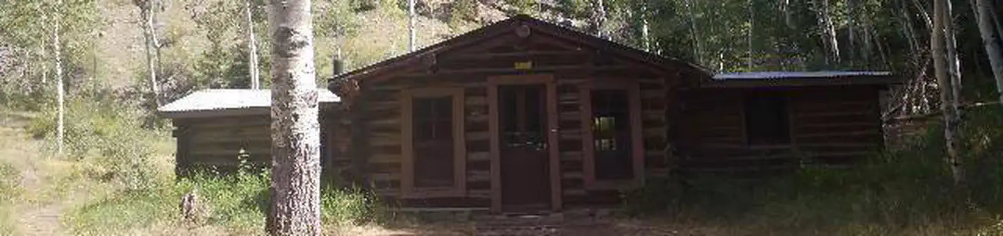
Cabin and lookout rentals nearby
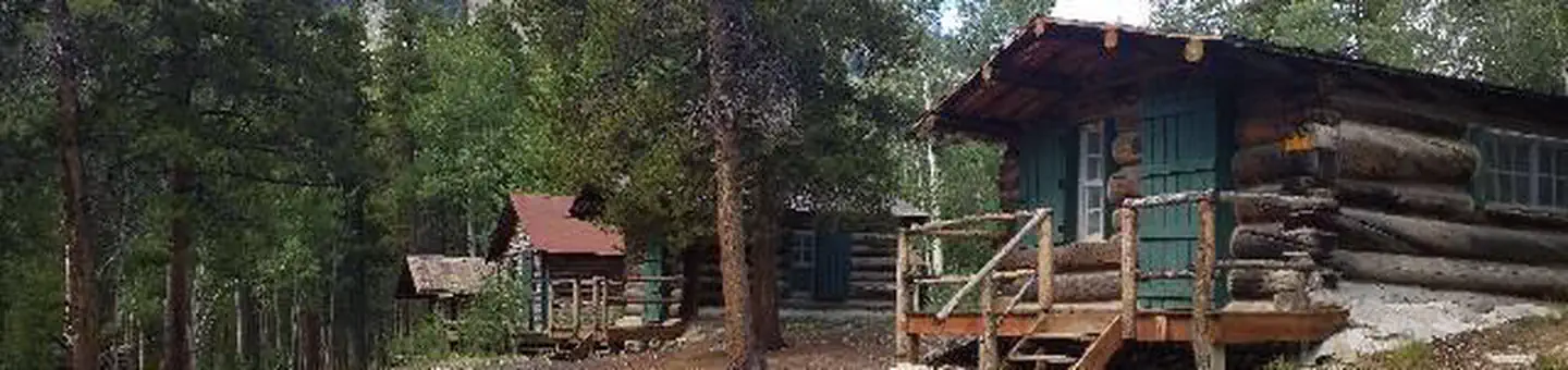
Historic landmarks nearby

Natural features
The campground sits at an elevation of 9,900 ft. on Turquoise Lake. Most campsites are situated on a level, open field along a creek, feeding into the lake. Six first come-first, serve-sites are perched on the wooded hillside above the creek. Nearby is the Mount Massive Wilderness area, a 30,540 acre expanse encompassing Mount Massive, Colorado's second highest peak at 14,421 feet. Much of the wilderness is above timberline with many alpine plant communities and permanent snowfields.
Recreation
Explore the 6.4-mile Turquoise Lake Trail, which parallels the shoreline of Turquoise Lake from May Queen Campground to the dam. The trail offers moderate hiking with spectacular views and a variety of flora and fauna, as well as remnants of old mines. The Timberline Lake trailhead is 1/2 mile up the road. A 2-mile hike to this lake is rewarded with stunning views and high alpine lake fishing. The Colorado Trail can also be accessed from this trailhead. On Turquoise Lake, sailing, boating and canoeing are enjoyed. Anglers seek out mostly mackinaw and rainbow trout.
Guidebooks for Colorado
We earn a small commission if you buy through these links. It does not change what we list.



Titles come from Open Library's catalog, matched by subject heading or by title.
Reference
Questions people ask
Do I need a reservation at May Queen?
For some sites. Some sites take reservations on Recreation.gov. Others are first-come, first-served.
Source: Recreation.gov
How much does it cost to camp at May Queen?
Extra Vehicle Fee $10.00
Source: Recreation.gov
What time is check-in at May Queen?
Check-in 0:00 AM, checkout 0:00 AM.
Source: Recreation.gov
What does it cost to cancel a reservation at May Queen?
Cancellations Individual Campsites: Cancellations up to 2 days before a reservation start date incur a $10.00 cancellation fee.
Source: Charges and cancellations
Is May Queen open right now?
Closed for the season as of Oct 16, 2026.
Source: Forest Service status
How many sites does May Queen have?
28 sites, including 9 standard sites without power and 4 tent-only sites.
Source: Recreation.gov
Will my RV fit at May Queen?
Recreation.gov lists no practical vehicle capacity limit for the largest site here, which usually means pull-through or open parking. The sidebar tool checks a trailer or motorhome length against every site.
Source: Will my RV fit
Are pets allowed at May Queen?
Yes, pets are allowed at May Queen. Leash rules apply.
Source: Recreation.gov
Are there accessible sites at May Queen?
Site XXX is listed accessible on Recreation.gov. What that covers (a paved pad, an accessible table, a nearby accessible restroom) is on each site's booking page.
Source: Recreation.gov
Is there cell service at May Queen?
FCC coverage maps show AT&T 4G LTE at the campground point. Terrain changes that from one site to the next.
Source: FCC Broadband Map
What is there to do at May Queen?
Explore the 6.4-mile Turquoise Lake Trail, which parallels the shoreline of Turquoise Lake from May Queen Campground to the dam. The Recreation section on this page has the rest.
Source: Recreation
What is the nearest town to May Queen?
Leadville, Colorado. Nearby is the abandoned bed of the Colorado Midland Railroad, built in the 1890s.
Source: Getting there