Peaceful Valley
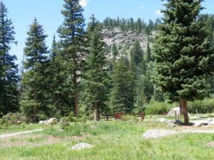
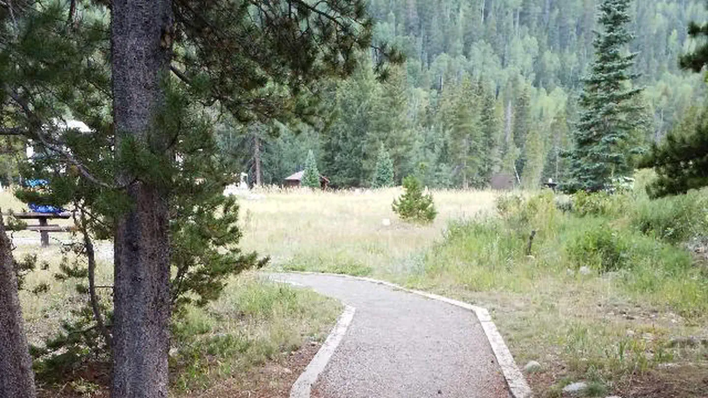
Peaceful Valley Campground is situated in a glacial valley, on the banks of the Middle Saint Vrain Creek at an elevation of 8,500 feet in northern Colorado. The campground has some conifer trees with open grassy areas.
More like this: reservable in Colorado · big rigs in Colorado · pets allowed in Colorado
Check availability on Recreation.gov ↗
Site mix
| Standard, no hookups | 11 |
| Walk-in | 5 |
Site guide
Will my RV fit
The longest site here provides 45 feet of vehicle capacity. Most sites are shorter.
16 sites. Tap a filter to narrow the list; the map follows.
| Site | Type | Entry | Fits, ft | Surface | Shade | People / vehicles | Accessible |
|---|---|---|---|---|---|---|---|
| 001 | Standard | Back-in | 32 | Gravel | 8 / 1 | ||
| 002 | Standard | Back-in | 35 | Gravel | 8 / 1 | Yes | |
| 003 | Standard | Back-in | 40 | Gravel | 8 / 1 | Yes | |
| 004 | Standard | Back-in | 40 | Gravel | 8 / 1 | Yes | |
| 005 | Standard | Back-in | 25 | Gravel | 8 / 1 | Yes | |
| 006 | Standard | Back-in | 25 | Gravel | 8 / 1 | Yes | |
| 007 | Standard | Back-in | 45 | Gravel | 8 / 1 | Yes | |
| 009 | Standard | Back-in | 35 | Gravel | Partial | 8 / 1 | Yes |
| 010 | Walk-in | Partial | 8 / 1 | ||||
| 011 | Walk-in | Partial | 8 / 1 |
Per-site records as published by the managing agency on Recreation.gov. Blank cells mean the agency listed nothing for that site. Check-in 02:00 PM, checkout 12:00 PM.
Amenities & rules
| Hookups | None |
| Max vehicle length | 45 ft |
| Equipment | RVs & trailers, Tents |
| Pets | Allowed |
| Accessibility | Sites 002, 003, 004, 005 and 6 more are listed accessible |
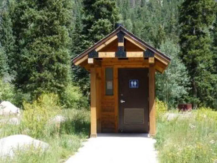
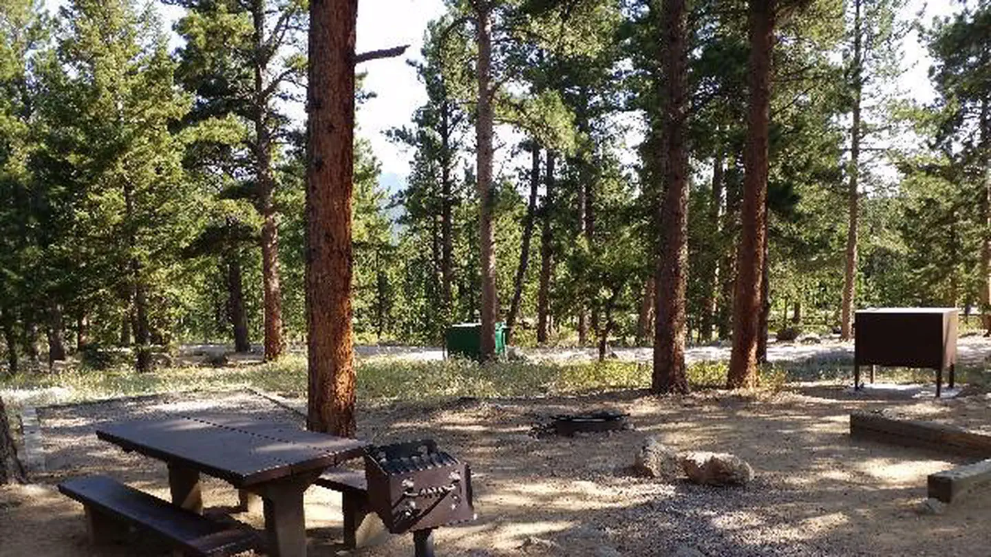
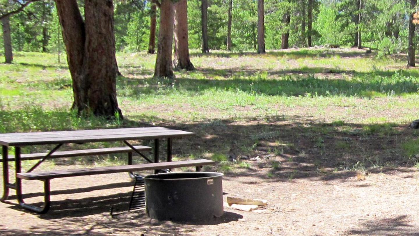
There are 17 sites in the campground. Nine are suitable for RV camping and eight are more suitable for tents. Each site has a picnic table, fire ring and grill. The maximum vehicle length that can be accommodated is 45 feet, although no utility hookups are available. There is a maximum of eight people per site; site #17 is oversized and will accommodate ten people. The roads in the campground are paved. There is one hand pump with potable water, trash dumpsters, vault toilets and firewood is for sale.
Individual sites vary. Confirm on Recreation.gov or with the managing office.
Season & status
| Status | Closed for the season. Forest Service sites close for the season; check the official page for the reopening date. |
| Forest | Arapaho & Roosevelt National Forests Pawnee NG |
| Fees | Check detailed information on www.recreation.gov or see general fees on the campground table. Fees are reduced when the water system is off. Interagency Senior, Interagency Access, Golden Age and Golden Access passes provide cardholders a 50% discount on campground fees (this discount only applies… |
| Rules | Pets must be on a hand-held leash at all times. A maximum of eight people are allowed per site, except unit 17, which can accommodate up to 12 people. RVs, trailers or other vehicles must fit on the parking spur. Fishing is permitted in accordance with regulations established by the Colorado Parks & Wildlife. |
Arapaho & Roosevelt National Forests Pawnee NG recreation page ↗
Weather by month
Getting there
From Denver, go north on Interstate 25 to U.S. Highway 36 west. Continue on U.S. 36 through Boulder to Lyons. Take Colorado Highway 7 and go approximately 12 miles, then Colorado Highway 72 for approximately 4 miles.
| Nearest town | Morrison, Colorado |
| Coordinates | 40.1314° N, 105.5061° W · Directions ↗ |
Charges and cancellations
Customers and contact center agents cannot modify reservations on or after the check-in date.
Fire nearby
- PrescribedHarris Park Broadcast Rx
42 mi from the campground · 390 acres
- PrescribedMagic Feather Broadcast Rx
43 mi from the campground
Distance is to the reported incident point, not the fire edge. Call the managing office before you drive.
Supplies & services
| Outdoor gear | Wildcat Mountaineering ↗ | 14 mi |
| Dump station | Dump station ↗ | 14.5 mi |
| RV sales & service | Big John's RV Sales and Service ↗ | 27.7 mi |
Locations © OpenStreetMap contributors. Call ahead; hours change seasonally.
Explore
Video
Peaceful Valley Campground
Worth a stop
Rocky Mountain National Parkâ??s main entrance is 24 miles north in Estes Park. Estes Park is a full-service community.
- 2 miSouth Saint Vrain Trailhead ↗Trailhead
- 4.2 mi
- 6.9 mi
Trails nearby
- under 0.1 miBuchanan Pass ↗15.8 mi trail · hiking, horse, bike
- 0.7 miBeaver Reservoir Cutoff0.7 mi trail · hiking, horse, bike
- 0.7 miSourdough ↗14.6 mi trail · hiking, horse, bike
- 1.5 miPark Creek2.3 mi trail · hiking, horse, bike
- 2 miSouth Saint Vrain ↗6 mi trail · hiking, horse, bike
- 2 miBaptiste0.8 mi trail · hiking, horse, bike
Trailheads within three miles
- 1 miMiddle Saint Vrain Trailhead ↗Arapaho & Roosevelt National Forests Pawnee NG
- 1.2 miBeaver Sourdough Trailhead ↗Arapaho & Roosevelt National Forests Pawnee NG
- 2 miSouth Saint Vrain Trailhead ↗Arapaho & Roosevelt National Forests Pawnee NG
Trail and trailhead records are the Forest Service's. Distances are straight-line to the nearer trail end. Trail conditions are not tracked here.
Public land it sits in
Indian Peaks Wilderness begins about 2.9 miles away, and it is the closest of these.
- 2.9 miIndian Peaks Wilderness ↗Wilderness · FS/NPS · 77,932 acres
- 7.6 miRocky Mountain National Park Wilderness ↗Wilderness · National Park Service · 249,126 acres
Each unit is published as a centre point and an acreage rather than a boundary, so this section stands it in for a circle of the same area. Whether a campground is inside, and how far it is from one it is outside, are both approximate.
Other campgrounds nearby
Historic landmarks nearby


Natural features
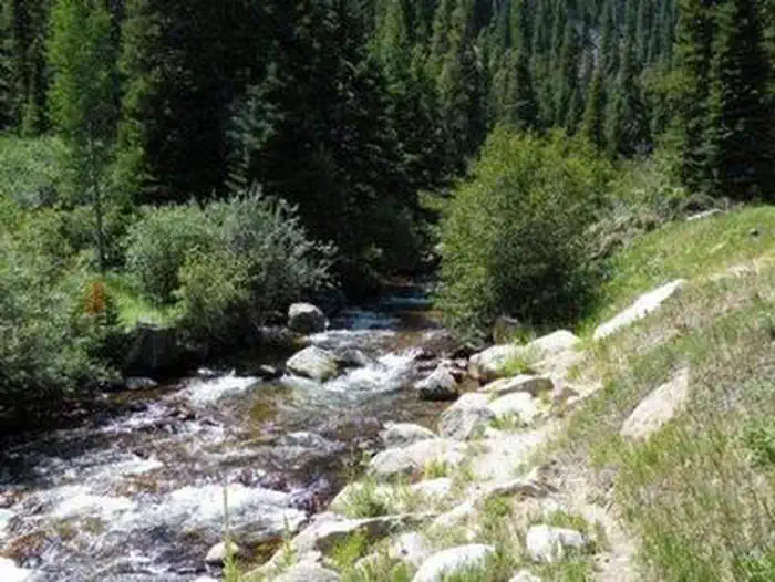
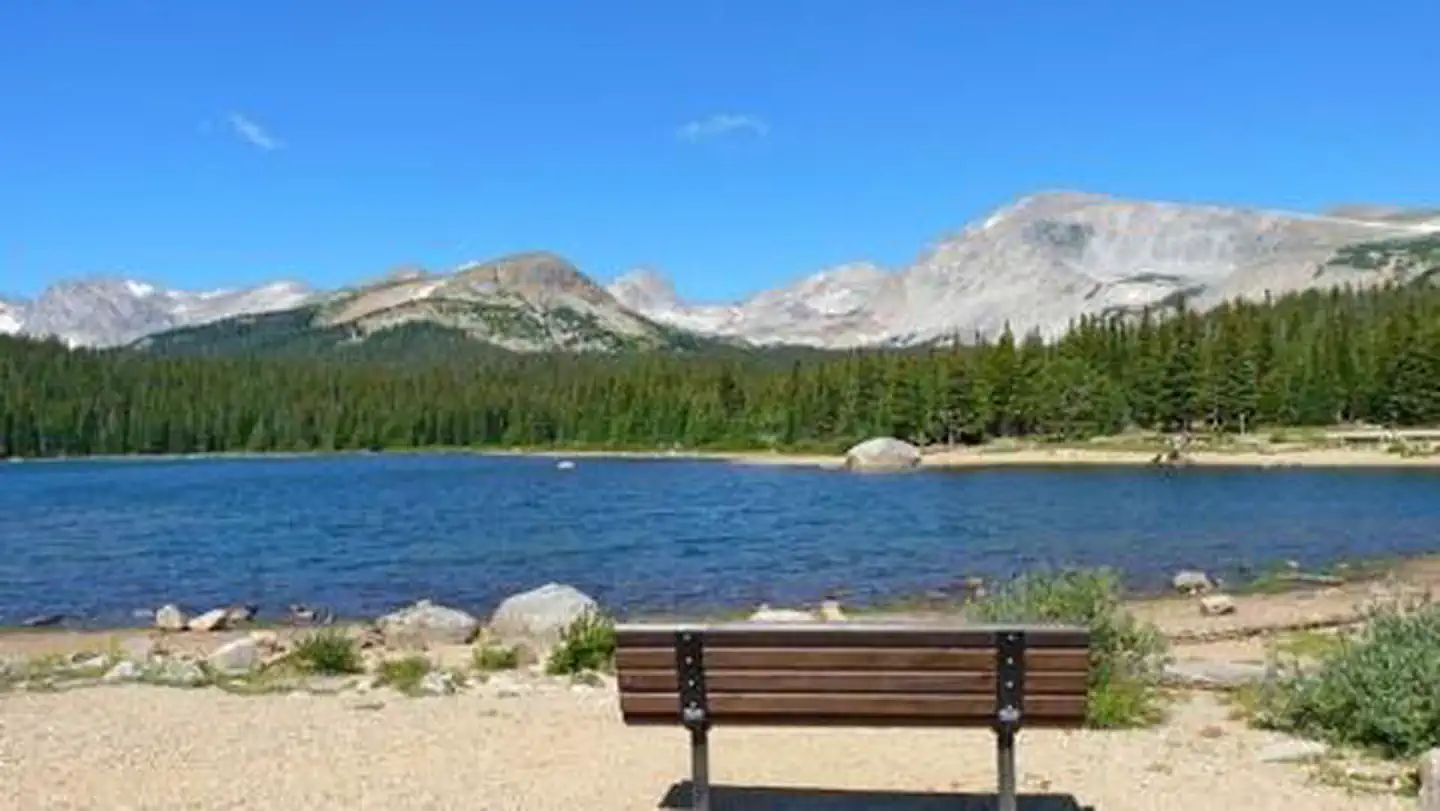
The campground is situated on the banks of the Middle Saint Vrain Creek in the mostly flat, glacial Peaceful Valley. A mixed conifer and aspen forest covers the area.
Recreation
The Middle Saint Vrain Creek is a good fly-fishing stream where anglers cast for rainbow, brown and cutthroat trout. Many trails in the vicinity are open to hiking and biking, including Sourdough and Buchanan Pass Trails. Mountain biking is allowed on the first five miles of Buchanan Pass Trail. The Bunce School Roads are popular among off-road enthusiasts.
Guidebooks for Colorado
We earn a small commission if you buy through these links. It does not change what we list.



Titles come from Open Library's catalog, matched by subject heading or by title.
Reference
Questions people ask
Do I need a reservation at Peaceful Valley?
Sites at Peaceful Valley are reservable on Recreation.gov. Any walk-up sites are listed on the booking page.
Source: Recreation.gov
How much does it cost to camp at Peaceful Valley?
Check detailed information on www.recreation.gov or see general fees on the campground table. Fees are reduced when the water system is off. Interagency Senior, Interagency Access, Golden Age and Golden Access passes provide cardholders a 50% discount on campground fees (this discount only applies…
Source: Recreation.gov
What time is check-in at Peaceful Valley?
Check-in 02:00 PM, checkout 12:00 PM.
Source: Recreation.gov
Is Peaceful Valley open right now?
Closed for the season as of Oct 16, 2026.
Source: Forest Service status
How many sites does Peaceful Valley have?
16 sites, including 11 standard sites without power and 5 walk-in sites.
Source: Recreation.gov
Will my RV fit at Peaceful Valley?
The longest site here provides 45 feet of vehicle capacity. Most sites are shorter. The sidebar tool checks a trailer or motorhome length against every site.
Source: Will my RV fit
Are pets allowed at Peaceful Valley?
Yes, pets are allowed at Peaceful Valley. Leash rules apply.
Source: Recreation.gov
Are there accessible sites at Peaceful Valley?
Sites 002, 003, 004, and 005 are listed accessible on Recreation.gov, 10 sites in all. What that covers (a paved pad, an accessible table, a nearby accessible restroom) is on each site's booking page.
Source: Recreation.gov
What is there to do at Peaceful Valley?
The Middle Saint Vrain Creek is a good fly-fishing stream where anglers cast for rainbow, brown and cutthroat trout. The Recreation section on this page has the rest.
Source: Recreation
What is the nearest town to Peaceful Valley?
Morrison, Colorado. Rocky Mountain National Parkâ??s main entrance is 24 miles north in Estes Park.
Source: Getting there
What if Peaceful Valley is full?
The nearest public campgrounds are Camp Dick (0.7 mi), Pawnee (3.2 mi), and Olive Ridge (5.4 mi).
Source: Campgrounds nearby