Camp Hale East Fork Group
Located in the wide-open spaces of a lush green valley near the headwaters of the Eagle River and East Fork Eagle River, Camp Hale East Fork is the ideal spot for large group camping. The surrounding White River National Forest offers campers a recreational oasis and an exciting Wilderness experience.
More like this: reservable in Colorado · big rigs in Colorado · pets allowed in Colorado · group sites in Colorado
Check availability on Recreation.gov ↗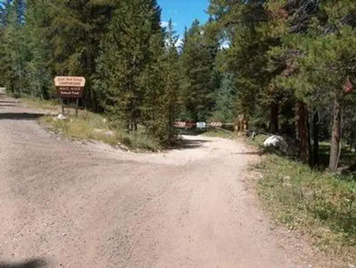
Site mix
| Group sites | 1 |
Site guide
Will my RV fit
The longest site here provides 45 feet of vehicle capacity. Most sites are shorter.
1 site. Tap a filter to narrow the list; the map follows.
| Site | Entry | Fits, ft | Surface | People / vehicles |
|---|---|---|---|---|
| 001 | Back-in | 45 | Gravel | 200 / 20 |
Per-site records as published by the managing agency on Recreation.gov. Blank cells mean the agency listed nothing for that site. Check-in 2:00 PM, checkout 11:00 AM.
Amenities & rules
| Hookups | None |
| Max vehicle length | 45 ft |
| Equipment | RVs & trailers, Tents |
| Pets | Allowed |
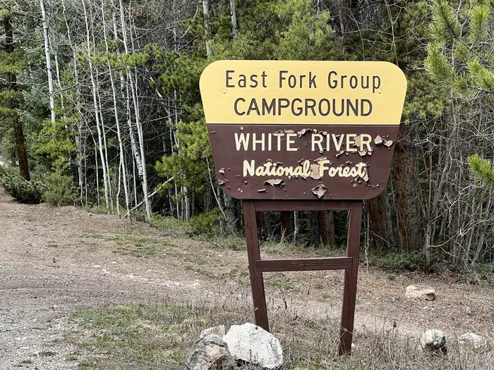
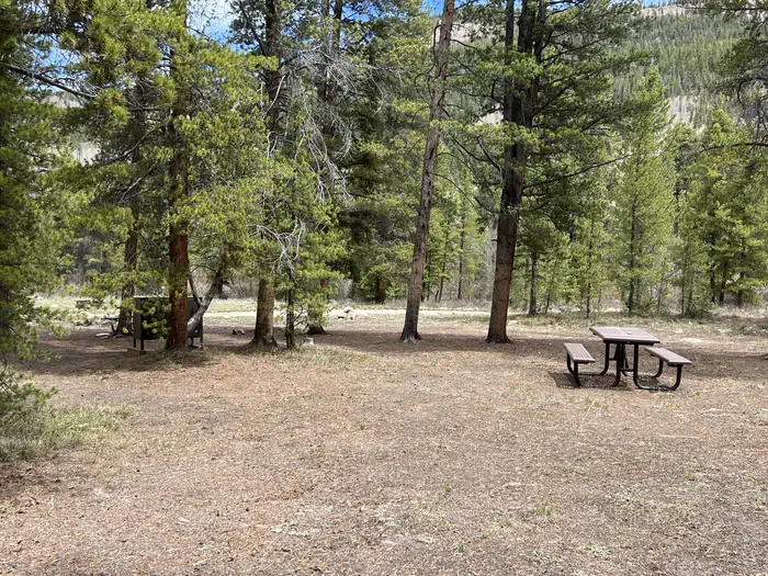
East Fork Group site has one site available for reservation: There is no electric hook-up or water available at this site. Group Site facilities include: hardened parking for up to approximately 20 campers/RV's depending on the size. Vehicles are restricted to hardened areas only. The site has 8 regular fire rings, and 1 group size fire ring, 1 pedestal grill, 3 food lockers, 1 double and 1 single vault toilet and 10 picnic tables. Garbage is disposed of at the Camp Hale Memorial Campground.
Individual sites vary. Confirm on Recreation.gov or with the managing office.
Season & status
| Forest | White River National Forest |
| Booking | Visit Recreation.gov |
Weather by month
Getting there
From I-70, take exit 171 toward Minturn. Turn south on Highway 24 and continue for approximately 19 miles, just beyond Camp Hale Memorial Site. Turn onto Old Highway East and follow for 2 miles to the campground.
| Nearest town | Minturn, Colorado |
| Coordinates | 39.4194° N, 106.2867° W · Directions ↗ |
Fire nearby
- WildfireWillow
15 mi from the campground · 7,359 acres · 92% contained
- PrescribedHarris Park Broadcast Rx
43 mi from the campground · 390 acres
Distance is to the reported incident point, not the fire edge. Call the managing office before you drive.
Supplies & services
| Outdoor gear | Vail Sports ↗ | 14.2 mi |
| Dump station | Dump station ↗ | 22.5 mi |
Locations © OpenStreetMap contributors. Call ahead; hours change seasonally.
Explore
Worth a stop
The White River National Forest is home to several skiing and Wilderness areas, providing countless recreational opportunities for campers.
- 4.2 miTennessee Pass Trailhead ↗Trailhead
- 5.7 miWurts Ditch Trailhead ↗Trailhead
Trails nearby
- 1.2 miJackal Hut Via Ranch Creek3.5 mi trail · snowshoe, ski
- 3.5 miMitchell Creek Old Railroad0.7 mi trail · hiking, horse, bike
- 4.2 miColorado ↗58.4 mi trail · hiking, horse, bike
- 4.2 miCDNST - Colorado ↗25.2 mi trail · hiking, horse, bike · national_scenic_or_historic
- 4.2 miPowderhound1.8 mi trail · snowshoe, ski
- 4.5 miChalk Lake2 mi trail · hiking, horse, bike
Trail and trailhead records are the Forest Service's. Distances are straight-line to the nearer trail end. Trail conditions are not tracked here.
Public land it sits in
This campground sits inside White River National Forest.
- inWhite River National Forest ↗National Forest · Forest Service · 2,482,711 acres
- 4.3 miHoly Cross Wilderness ↗Wilderness · Forest Service · 122,453 acres
- 11.2 miEagles Nest Wilderness ↗Wilderness · Forest Service · 135,104 acres
Each unit is published as a centre point and an acreage rather than a boundary, so this section stands it in for a circle of the same area. Whether a campground is inside, and how far it is from one it is outside, are both approximate.
Other campgrounds nearby



Cabin and lookout rentals nearby
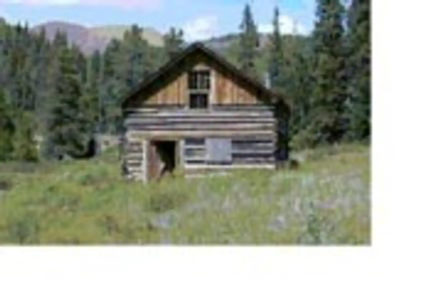
Historic landmarks nearby

Natural features
Nestled in the heart of the Rocky Mountains, the 2.3 million acre White River National Forest is the top recreation forest in the nation. Known as the birthplace of wilderness and home to world-renowned skiing, the White River Forest has something to offer every outdoor enthusiast.
Recreation
The famous Colorado Trail winds within walking distance of the campground, offering hiking, horseback riding and opportunities for wildlife viewing to guests. Several paths throughout the campground also provide easy walking and biking areas. Fishing is available in the numerous streams nearby, including both the Eagle and East Fork Eagle River, the Camp Hale Pond and several beaver ponds, with various types of trout available.
Guidebooks for Colorado
We earn a small commission if you buy through these links. It does not change what we list.



Titles come from Open Library's catalog, matched by subject heading or by title.
Reference
Questions people ask
Do I need a reservation at Camp Hale East Fork Group?
Sites at Camp Hale East Fork Group are reservable on Recreation.gov. Visit Recreation.gov Any walk-up sites are listed on the booking page.
Source: Recreation.gov
What time is check-in at Camp Hale East Fork Group?
Check-in 2:00 PM, checkout 11:00 AM.
Source: Recreation.gov
How many sites does Camp Hale East Fork Group have?
1 site, including 1 group site.
Source: Recreation.gov
Will my RV fit at Camp Hale East Fork Group?
The longest site here provides 45 feet of vehicle capacity. Most sites are shorter. The sidebar tool checks a trailer or motorhome length against every site.
Source: Will my RV fit
Are pets allowed at Camp Hale East Fork Group?
Yes, pets are allowed at Camp Hale East Fork Group. Leash rules apply.
Source: Recreation.gov
What is there to do at Camp Hale East Fork Group?
The famous Colorado Trail winds within walking distance of the campground, offering hiking, horseback riding and opportunities for wildlife viewing to guests. The Recreation section on this page has the rest.
Source: Recreation
What is the nearest town to Camp Hale East Fork Group?
Minturn, Colorado. The White River National Forest is home to several skiing and Wilderness areas, providing countless recreational opportunities for campers.
Source: Getting there
What if Camp Hale East Fork Group is full?
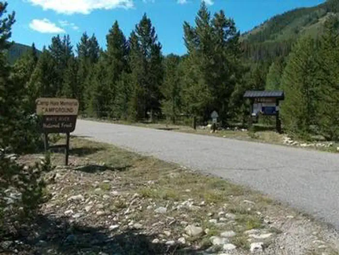
The nearest public campgrounds are Camp Hale Memorial (1.5 mi), Hornsilver Campground (6.4 mi, first-come), and Gold Park Campground (8 mi, first-come).
Source: Campgrounds nearby