Swinging Bridge
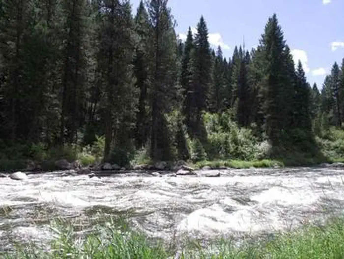
Swinging Bridge Campground is located 10 miles north of Banks, Idaho just off Highway 55 at an elevation of 4,000 feet. The North Fork Payette River flows next to the highway, where extreme kayaking is a popular activity.
Some sites take reservations on Recreation.gov. Others are first-come, first-served.
More like this: first-come in Idaho · reservable in Idaho · big rigs in Idaho
Check availability on Recreation.gov ↗
Site mix
| RV, no hookups | 7 |
Site guide
Will my RV fit
The longest site here provides 40 feet of vehicle capacity. Most sites are shorter.
7 sites. Tap a filter to narrow the list; the map follows.
| Site | Entry | Fits, ft | Surface | Shade | People / vehicles | Accessible |
|---|---|---|---|---|---|---|
| 001 | Back-in | 30 | Paved | Full | 8 / 1 | |
| 004 | Back-in | 16 | Paved | Full | 8 / 1 | Yes |
| 005 | Back-in | 35 | Paved | 8 / 1 | ||
| 006 | Back-in | 30 | Paved | Full | 8 / 1 | |
| 007 | Back-in | 25 | Paved | Full | 8 / 1 | |
| 008 | Back-in | 30 | Paved | Full | 8 / 1 | |
| 009 | Back-in | 40 | Paved | Full | 8 / 1 |
Per-site records as published by the managing agency on Recreation.gov. Blank cells mean the agency listed nothing for that site. Check-in 2:00 PM, checkout 12:00 PM.
Amenities & rules
| Hookups | None |
| Max vehicle length | 40 ft |
| Equipment | RVs & trailers |
| Accessibility | Site 004 is listed accessible |
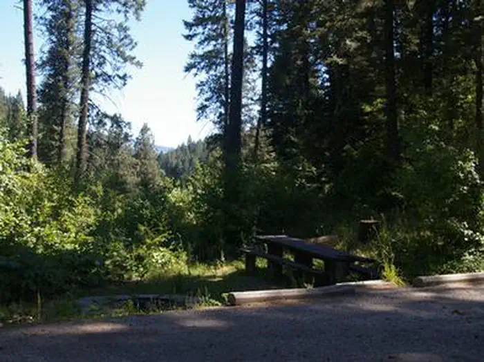
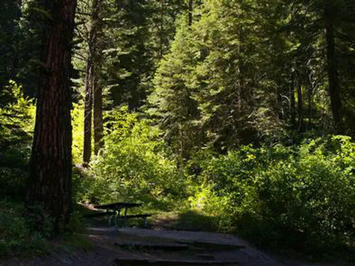
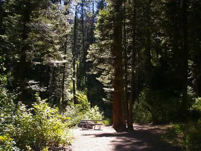
The campground contains single-family sites, each with a picnic table and campfire ring. Vault toilets are provided. Roads and parking spurs are paved. Because of its proximity to the highway, some noise from passing traffic is to be expected.
Individual sites vary. Confirm on Recreation.gov or with the managing office.
Season & status
| Season | Mid-May to End of September |
| Forest | Boise National Forest |
| Booking | This is a fee campground with 11 sites. Make a reservation at www.recreation.gov or by calling 1-877-444-6777. |
Weather by month
Getting there
From Horseshoe Bend, ID, take State Rt. 55 north for 21.5 miles to the campground sign. Turn left after the sign into the campground(on west side of highway).
| Coordinates | 44.1716° N, 116.1210° W · Directions ↗ |
Fire nearby
- PrescribedRx Lowman Wui
33 mi from the campground
- PrescribedMill Creek Council Mtn Rx
46 mi from the campground · 1,817 acres
Distance is to the reported incident point, not the fire edge. Call the managing office before you drive.
Supplies & services
| Outdoor gear | Outdoor gear ↗ | 35.1 mi |
| RV sales & service | Nelson's RV's ↗ | 37.4 mi |
Locations © OpenStreetMap contributors. Call ahead; hours change seasonally.
Explore
Worth a stop
- 6 mi
- 9.4 miKyaott Trailhead ↗Trailhead
- 10.6 miWest Mountain (South) Trailhead ↗Trailhead
- 11.6 miSage Hen Creek Boat Ramp ↗Boat launch
- 11.7 miAntelope Boat Ramp ↗Boat launch
Public land it sits in
This campground sits inside Boise National Forest.
- inBoise National Forest ↗National Forest · Forest Service · 2,526,862 acres
Each unit is published as a centre point and an acreage rather than a boundary, so this section stands it in for a circle of the same area. Whether a campground is inside, and how far it is from one it is outside, are both approximate.
Other campgrounds nearby

Cabin and lookout rentals nearby
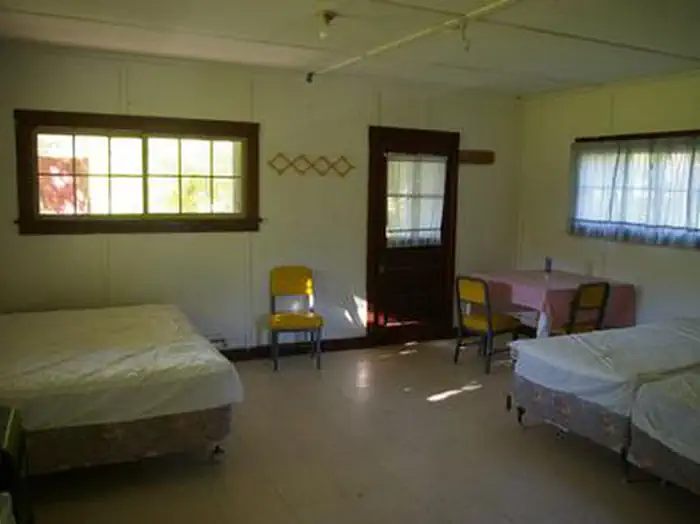
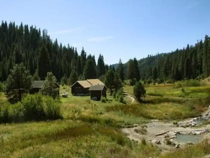
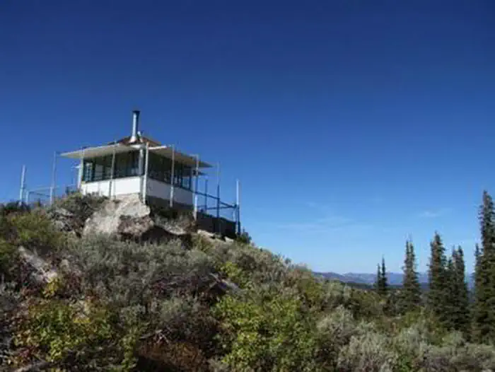
On the National Register nearby
- Ola SchoolBuilding · Ola · 8.4 mi
- Southern Idaho Timber Protective Association (Sitpa) BuildingsHistoric district · Smiths Ferry · 9.1 mi
- Upper Brownlee SchoolBuilding · Sweet · 10.7 mi
Natural features
The campground is situated is a scenic canyon just above Highway 55. The mountains are forested with a mix of Ponderosa and lodgepole pines and shade is plentiful within most of the campground. Summer days are warm, reaching 80-90 degrees; nights are cooler.
Recreation
The North Fork of the Payette River is a very popular location for expert kayaking. Whitewater rafting is nearby on the Main and South Fork sections of the Payette River. Anglers will find good to excellent fishing for whitefish and rainbow trout.
Guidebooks for Idaho
We earn a small commission if you buy through these links. It does not change what we list.

Titles come from Open Library's catalog, matched by subject heading or by title.
Reference
Questions people ask
Do I need a reservation at Swinging Bridge?
For some sites. Some sites take reservations on Recreation.gov. Others are first-come, first-served.
Source: Recreation.gov
What time is check-in at Swinging Bridge?
Check-in 2:00 PM, checkout 12:00 PM.
Source: Recreation.gov
How many sites does Swinging Bridge have?
7 sites, including 7 RV sites without hookups.
Source: Recreation.gov
Will my RV fit at Swinging Bridge?
The longest site here provides 40 feet of vehicle capacity. Most sites are shorter. The sidebar tool checks a trailer or motorhome length against every site.
Source: Will my RV fit
Are there accessible sites at Swinging Bridge?
Site 004 is listed accessible on Recreation.gov. What that covers (a paved pad, an accessible table, a nearby accessible restroom) is on each site's booking page.
Source: Recreation.gov
What is there to do at Swinging Bridge?
The North Fork of the Payette River is a very popular location for expert kayaking. The Recreation section on this page has the rest.
Source: Recreation
What if Swinging Bridge is full?
The nearest public campgrounds are Canyon Creek Campground (1.2 mi, first-come), Cold Springs Campground (1.6 mi), and Big Eddy Campground (3.5 mi, first-come).
Source: Campgrounds nearby