Kirkham
Kirkham Campground is located next to the South Fork Payette River just east of Lowman, Idaho, along Highway 21 at an elevation of 4,000 feet. Visitors enjoy soaking in popular Kirkham Hot Springs on the banks of the river and exploring the scenic Kirkham Ridge Trail.
More like this: reservable in Idaho · big rigs in Idaho
Check availability on Recreation.gov ↗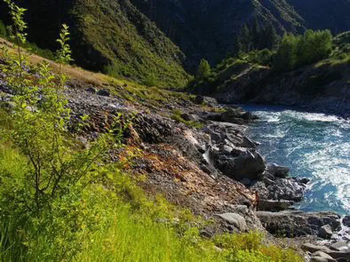
Site mix
| Standard, no hookups | 15 |
| picnic | 1 |
Site guide
Will my RV fit
The longest site here provides 80 feet of vehicle capacity. Most sites are shorter.
16 sites. Tap a filter to narrow the list; the map follows.
| Site | Type | Entry | Fits, ft | Surface | Shade | People / vehicles | Accessible |
|---|---|---|---|---|---|---|---|
| 001 | Standard | Back-in | 25 | Paved | Partial | 8 / 2 | Yes |
| 002 | Standard | Pull-through | 35 | Paved | 8 / 2 | Yes | |
| 003 | Standard | Back-in | 30 | Paved | Partial | 8 / 2 | Yes |
| 004 | Standard | Pull-through | 35 | Paved | 8 / 2 | Yes | |
| 005 | Standard | Back-in | 25 | Paved | Partial | 8 / 2 | Yes |
| 006 | Standard | Back-in | 50 | Paved | Partial | 8 / 2 | Yes |
| 007 | Standard | Back-in | 50 | Paved | Partial | 8 / 2 | Yes |
| 008 | Standard | Pull-through | 50 | Paved | 16 / 2 | Yes | |
| 009 | Standard | Back-in | 25 | Paved | Partial | 8 / 2 | Yes |
| 010 | Standard | Back-in | 45 | Paved | Partial | 8 / 2 | Yes |
Per-site records as published by the managing agency on Recreation.gov. Blank cells mean the agency listed nothing for that site. Check-in 2:00 PM, checkout 1:00 PM.
Amenities & rules
| Hookups | None |
| Max vehicle length | 80 ft |
| Equipment | RVs & trailers, Tents |
| Accessibility | Sites 001, 002, 003, 004 and 12 more are listed accessible |
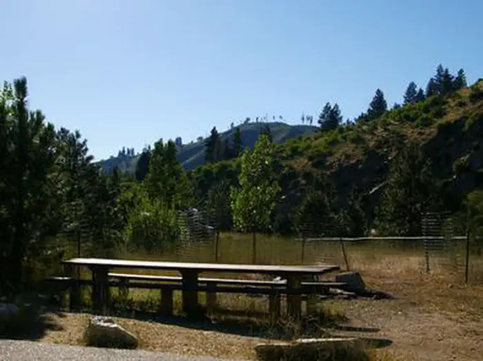
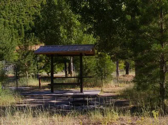
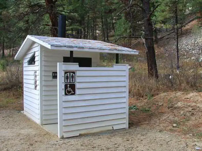
The campground contains several single-family sites and one double site, all of which are accessible. Each site is equipped with a picnic table and campfire ring with grill. Some sites have small picnic shelters for shade. Vault toilets, drinking water and trash collection are provided. A campground host is on-site. Roads and parking spurs are paved. A small gas station/cafe and mechanic are nearby.
Individual sites vary. Confirm on Recreation.gov or with the managing office.
Weather by month
Getting there
From Boise, Idaho, take State Highway 55 to Banks. Turn east onto the Banks-Lowman Highway and travel to Lowman. Turn left on Highway 21. The campground is located 5 miles east at milepost 77.
| Nearest town | Lowman, Idaho |
| Coordinates | 44.0722° N, 115.5422° W · Directions ↗ |
Fire nearby
- PrescribedRx Lowman Wui
5 mi from the campground
- PrescribedParadise Rx
41 mi from the campground
Distance is to the reported incident point, not the fire edge. Call the managing office before you drive.
Supplies & services
| Outdoor gear | Bob Greenwood's Ski Haus ↗ | 44.5 mi |
| RV sales & service | Happy Camper ↗ | 46.7 mi |
Locations © OpenStreetMap contributors. Call ahead; hours change seasonally.
Explore
Video
Boondocking in the Sawtooths & Kirkham Hot Springs | Road Life Episode 10
Worth a stop
Numerous natural hot springs pools can be found along Highway 21, also known as the Ponderosa Pine Scenic Byway, and the Banks-Lowman Highway, also known as the Wildlife Canyon Scenic Byway. Both byways offer scenic views, wildlife watching, historical information kiosks and several trail opportunities. Whitewater rafting and kayaking are popular activities on the South Fork and Main Payette Rivers. Several companies in the area offer guided half and full-day trips.
- under 0.1 miKirkham Day Use Area ↗Day use
- 0.6 mi
- 4.6 miBanner Ridge Trailhead ↗Trailhead
Trails nearby
- 0.1 miKirkham Interpretive0.2 mi trail · hiking, horse, bike
- 0.6 miKirkham Ridge ↗35.8 mi trail · hiking, horse, bike, motorcycle and 2 more
- 2.9 miCougar ↗6 mi trail · hiking, horse, bike, snowshoe and 1 more
- 3 miMiller Mountain3.2 mi trail · hiking, horse, bike, motorcycle and 2 more
- 3.3 miBanner Ridge Yurt0.6 mi trail · hiking, horse, bike, snowshoe and 1 more
- 3.4 miCougar Link0.4 mi trail · hiking, horse, bike, snowshoe and 1 more
Trailheads within three miles
- 0.6 miKirkham Ridge Trailhead (State Highway 21) ↗Boise National Forest
Trail and trailhead records are the Forest Service's. Distances are straight-line to the nearer trail end. Trail conditions are not tracked here.
Public land it sits in
This campground sits inside Boise National Forest.
- inBoise National Forest ↗National Forest · Forest Service · 2,526,862 acres
- 9.8 miSawtooth National Forest ↗National Forest · Forest Service · 2,190,139 acres
- 13.9 miSawtooth Wilderness ↗Wilderness · Forest Service · 217,511 acres
Each unit is published as a centre point and an acreage rather than a boundary, so this section stands it in for a circle of the same area. Whether a campground is inside, and how far it is from one it is outside, are both approximate.
Other campgrounds nearby
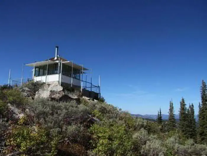
Cabin and lookout rentals nearby

Natural features
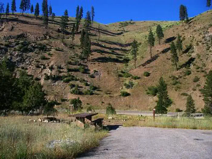
The campground offers little shade, though a few Ponderosa pines are scattered throughout the site. The campground can be very hot and sunny during the summer. Wildflowers dot the landscape.
Recreation
Popular Kirkham Hot Springs is located at the river's edge within the campground. A trail with staircases leads down to the soaking pools and small steaming waterfalls. The South Fork Payette River offers whitewater rafting, kayaking and trout fishing. The Deadwood and Danskin River Access areas are nearby. Kirkham Ridge Trail is one of the Lowman Ranger District's premier trails. It begins less than 1/4-mile away and stretches through beautiful country for 35 miles, connecting with many other trails in the area. It is open to hiking, mountain biking and horses. Sections of the trail are open seasonally to off-road vehicles.
Guidebooks for Idaho
We earn a small commission if you buy through these links. It does not change what we list.

Titles come from Open Library's catalog, matched by subject heading or by title.
Reference
Questions people ask
Do I need a reservation at Kirkham?
Sites at Kirkham are reservable on Recreation.gov. Any walk-up sites are listed on the booking page.
Source: Recreation.gov
What time is check-in at Kirkham?
Check-in 2:00 PM, checkout 1:00 PM.
Source: Recreation.gov
How many sites does Kirkham have?
16 sites, including 15 standard sites without power and 1 picnic.
Source: Recreation.gov
Will my RV fit at Kirkham?
Recreation.gov lists no practical vehicle capacity limit for the largest site here, which usually means pull-through or open parking. The sidebar tool checks a trailer or motorhome length against every site.
Source: Will my RV fit
Are there accessible sites at Kirkham?
Sites 001, 002, 003, and 004 are listed accessible on Recreation.gov, 16 sites in all. What that covers (a paved pad, an accessible table, a nearby accessible restroom) is on each site's booking page.
Source: Recreation.gov
What is there to do at Kirkham?
Popular Kirkham Hot Springs is located at the river's edge within the campground. The Recreation section on this page has the rest.
Source: Recreation
What is the nearest town to Kirkham?
Lowman, Idaho. Numerous natural hot springs pools can be found along Highway 21, also known as the Ponderosa Pine Scenic Byway, and the Banks-Lowman Highway, also known as the Wildlife Canyon Scenic Byway.
Source: Getting there
What if Kirkham is full?
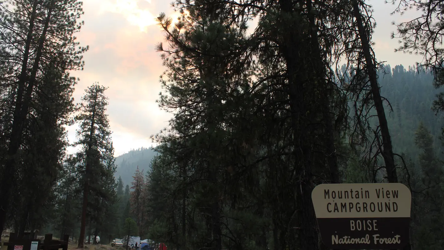
The nearest public campgrounds are Mountain View (3 mi, partly first-come), Helende (3.6 mi, partly first-come), and Park Creek (Idaho) (3.7 mi, partly first-come).
Source: Campgrounds nearby