Pioneer Trail
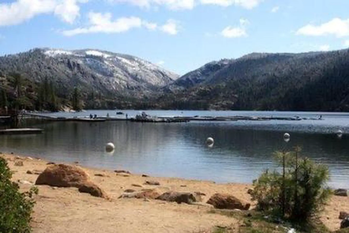
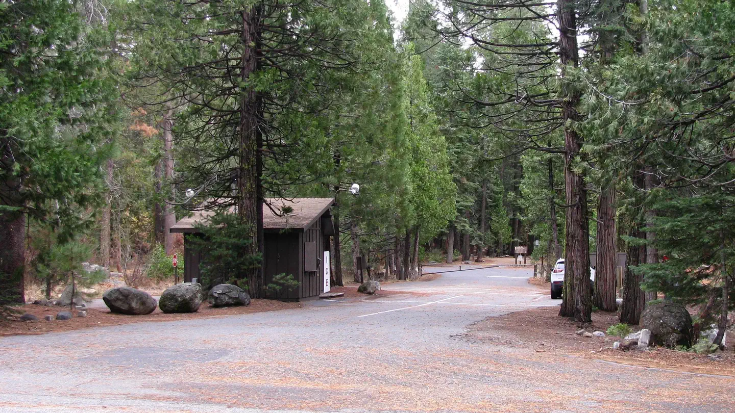
Pioneer Trail Group Campground offers groups of up to 100 people the opportunity to camp near the beautiful Pinecrest Lake. The campground is located within the Pinecrest Recreational Area just 2 miles from the lake, which beckons visitors with excellent fishing, boating, hiking and swimming opportunities. In this spectacular mountain region, wildlife viewing opportunities include marmots, squirrels, coyotes and deer.
More like this: reservable in California · big rigs in California · pets allowed in California · group sites in California
Check availability on Recreation.gov ↗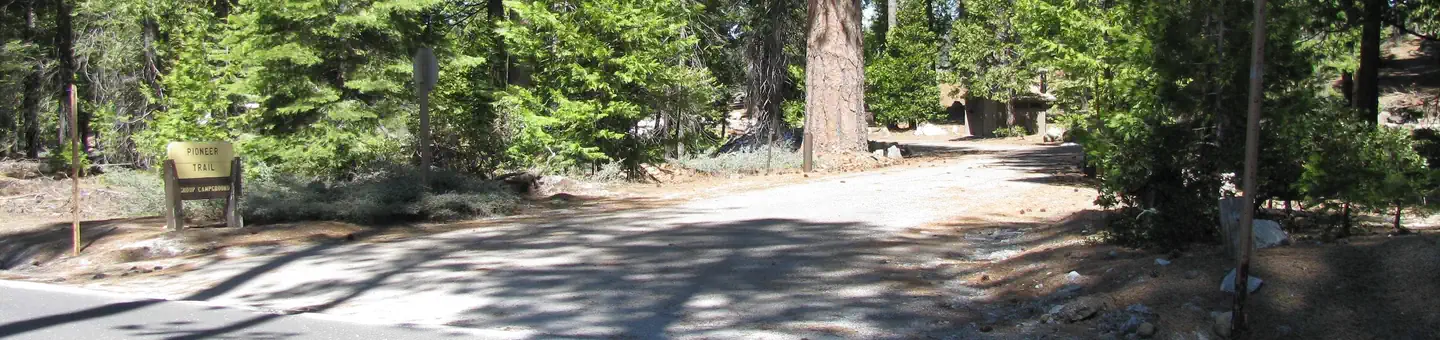
Site mix
| Group sites | 3 |
Site guide
Will my RV fit
The longest site here provides 40 feet of vehicle capacity. Most sites are shorter.
3 sites in 3 loops. Tap a filter to narrow the list; the map follows.
| Site | Loop | Fits, ft | Surface | Shade | Water / sewer | People / vehicles | Fires | Rating |
|---|---|---|---|---|---|---|---|---|
| 2 | PIO2 | 40 | Paved | Full | No / No | 100 / 16 | Yes | Standard |
| 3 | PIO3 | 30 | Paved | Full | No / No | 50 / 10 | Yes | |
| 1 | PION | 40 | Paved | Full | No / No | 50 / 12 | Yes | Standard |
Per-site records as published by the managing agency on Recreation.gov. Blank cells mean the agency listed nothing for that site. Check-in 2:00 PM, checkout 11:00 AM.
Amenities & rules
| Hookups | None |
| Max vehicle length | 40 ft |
| Equipment | RVs & trailers, Tents |
| Pets | Allowed |
| Campfires | Allowed, subject to restrictions |
| Tent pads | Yes |
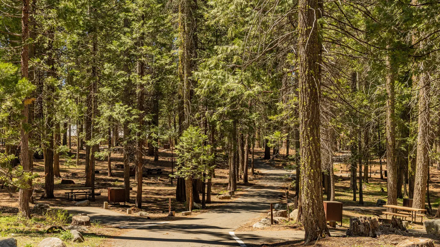
Campsites 1 and 3 will accommodate up to 50 campers and Site 2 will accommodate up to 100 campers. Each site features a large campfire circle, picnic tables and vault toilets. No RV hookups or electricity are available. Pay showers are within a few miles. Winter camping is available on a first-come, first-served basis. Pets are welcome, but must be compliant with Tuolumne County leash laws.
Individual sites vary. Confirm on Recreation.gov or with the managing office.
Weather by month
Getting there
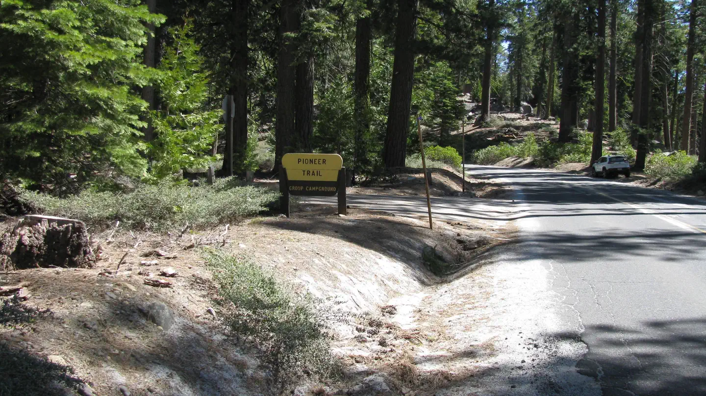
From Sonora, California, take Highway 108 east for about 30 miles. Exit at Pinecrest Lake and turn right on Dodge Ridge Road. Continue 1 mile to Pioneer Trails Campground, located on the left.
| Coordinates | 38.1875° N, 119.9875° W · Directions ↗ |
Fire nearby
- WildfireDome
47 mi from the campground · 6,788 acres · 95% contained
Distance is to the reported incident point, not the fire edge. Call the managing office before you drive.
Supplies & services
| Outdoor gear | Bear Valley Adventure Company ↗ | 19.2 mi |
| Dump station | Dump station ↗ | 27.4 mi |
Locations © OpenStreetMap contributors. Call ahead; hours change seasonally.
Explore
Worth a stop
The nearby Sonora Pass is a scenic winding highway that has guided people across the Sierra Nevada since 1852.
- 0.5 miPinecrest Day Use ↗Day use
- 1.2 mi
- 1.4 mi
- 4 miBeardsley Day Use ↗Day use
Trails nearby
- 0.2 miPioneer0.3 mi trail · hiking, horse, bike
- 0.5 miPinecrest Lake N.R.T ↗3.8 mi trail · hiking, horse, bike · national_recreation_or_other
- 0.9 miPinecrest to Strawberry0.7 mi trail · hiking, horse, bike
- 0.9 miPinecrest Peak/Catfish Lake4.4 mi trail · hiking, horse, bike
- 0.9 miTrail of the Survivors I.t0.3 mi trail · hiking, horse, bike
- 1.1 miShadow of the Miwok Interperat0.2 mi trail · hiking, horse, bike
Trailheads within three miles
- 1.2 miCrabtree Cross-Country Ski Trailhead ↗Stanislaus National Forest · Season December to April
- 1.4 miGooseberry Cross-Country Ski Trailhead ↗Stanislaus National Forest · Season December
- 2.8 miBell Meadow TH ↗Stanislaus National Forest · Season May to December
Trail and trailhead records are the Forest Service's. Distances are straight-line to the nearer trail end. Trail conditions are not tracked here.
Public land it sits in
This campground sits inside Stanislaus National Forest.
- inStanislaus National Forest ↗National Forest · Forest Service · 1,090,354 acres
- 4.8 miEmigrant Wilderness ↗Wilderness · Forest Service · 112,723 acres
- 14 miCarson-Iceberg Wilderness ↗Wilderness · Forest Service · 158,147 acres
Each unit is published as a centre point and an acreage rather than a boundary, so this section stands it in for a circle of the same area. Whether a campground is inside, and how far it is from one it is outside, are both approximate.
Other campgrounds nearby


On the National Register nearby
- Stanislaus Branch, California Forest and Range Experiment StationHistoric district · Strawberry · 2 mi
- Leighton EncampmentSite · Pinecrest · 12.1 mi
- Niagara CampHistoric district · Tuolumne · 12.6 mi
Natural features
Pioneer Trail sits at an elevation of 5,600 feet, in a wooded area near the southwest side of the 300-acre Pinecrest Lake in Stanislaus National Forest. Stanislaus National Forest is located in the central Sierra Nevada Mountains, between Lake Tahoe and Yosemite. It boasts gorgeous views of snow-capped mountain peaks and California's Great Central Valley.
Recreation
The Pinecrest Lake National Recreation Trail takes hikers on an easy 4-mile stroll around Pinecrest Lake. Rainbow trout is a common catch in the lake and swimming is enjoyed in designated beach areas.
Guidebooks for California
We earn a small commission if you buy through these links. It does not change what we list.

Titles come from Open Library's catalog, matched by subject heading or by title.
Reference
Questions people ask
Do I need a reservation at Pioneer Trail?
Sites at Pioneer Trail are reservable on Recreation.gov. Any walk-up sites are listed on the booking page.
Source: Recreation.gov
What time is check-in at Pioneer Trail?
Check-in 2:00 PM, checkout 11:00 AM.
Source: Recreation.gov
How many sites does Pioneer Trail have?
3 sites, including 3 group sites.
Source: Recreation.gov
Will my RV fit at Pioneer Trail?
The longest site here provides 40 feet of vehicle capacity. Most sites are shorter. The sidebar tool checks a trailer or motorhome length against every site.
Source: Will my RV fit
Are there showers or a dump station at Pioneer Trail?
Pay showers are within a few miles.
Source: Recreation.gov
Are pets allowed at Pioneer Trail?
Yes, pets are allowed at Pioneer Trail. Leash rules apply.
Source: Recreation.gov
Can I have a campfire at Pioneer Trail?
Fires are allowed in the provided rings under normal conditions. As of 2026-10-16, there is 1 active fire within 50 miles, so check current restrictions before you light one.
Source: Fire nearby
Is there cell service at Pioneer Trail?
FCC coverage maps show Verizon 4G LTE at the campground point. Terrain changes that from one site to the next.
Source: FCC Broadband Map
What is there to do at Pioneer Trail?
The Pinecrest Lake National Recreation Trail takes hikers on an easy 4-mile stroll around Pinecrest Lake. The Recreation section on this page has the rest.
Source: Recreation
What if Pioneer Trail is full?
The nearest public campgrounds are Pinecrest (0.6 mi), Meadowview Campground (0.9 mi, partly first-come), and Teleli Pulaya (Black Oak) Campground (3.6 mi, first-come).
Source: Campgrounds nearby