Amphitheater
Amphitheater Campground is located near the town of Ouray, Colo. at an elevation of 8,400 feet. Visitors enjoy the area for its beautiful scenery and great hiking and off-road trail opportunities.
Some sites take reservations on Recreation.gov. Others are first-come, first-served.
More like this: first-come in Colorado · reservable in Colorado · pets allowed in Colorado
Check availability on Recreation.gov ↗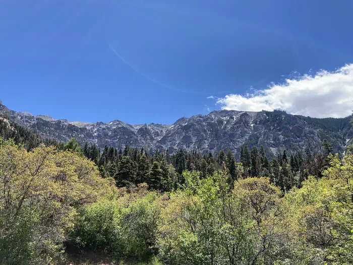
Site mix
| Tent-only | 18 |
| Standard, no hookups | 16 |
| RV, no hookups | 1 |
Site guide
Will my RV fit
The longest site here provides 35 feet of vehicle capacity. Most sites are shorter.
35 sites. Tap a filter to narrow the list; the map follows.
| Site | Type | Entry | Fits, ft | Surface | Shade | People / vehicles | Accessible |
|---|---|---|---|---|---|---|---|
| 001 | Tent only | Gravel | 5 / 1 | ||||
| 002 | Tent only | Gravel | 5 / 1 | ||||
| 003 | RV | Back-in | 20 | Gravel | 5 / 1 | ||
| 004 | Standard | Back-in | 30 | Gravel | Partial | 8 / 1 | |
| 005 | Standard | Back-in | 20 | Gravel | Partial | 8 / 1 | |
| 006 | Standard | Back-in | 25 | Gravel | Full | 8 / 1 | |
| 007 | Tent only | Back-in | Gravel | Full | 8 / 1 | ||
| 008 | Tent only | Back-in | Gravel | Partial | 8 / 1 | ||
| 009 | Tent only | Back-in | Gravel | Full | 8 / 1 | ||
| 010 | Tent only | Back-in | Gravel | Partial | 8 / 1 |
Per-site records as published by the managing agency on Recreation.gov. Blank cells mean the agency listed nothing for that site. Check-in 1:00 PM, checkout 12:00 PM.
Amenities & rules
| Hookups | None |
| Max vehicle length | 35 ft |
| Equipment | RVs & trailers, Tents |
| Pets | Allowed |
| Accessibility | Sites 016, 017 are listed accessible |
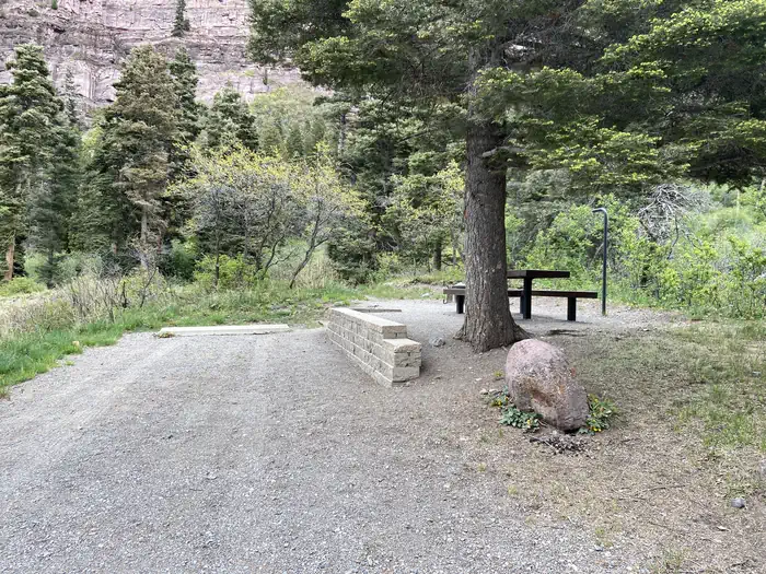
The campground offers single-family campsites, several of which are designated for tent camping only. Each site is equipped with a picnic table and campfire ring. Vault toilets, drinking water and trash collection are provided.
Individual sites vary. Confirm on Recreation.gov or with the managing office.
Season & status
| Status | Closed for the season. Forest Service sites close for the season; check the official page for the reopening date. |
| Season | May 23 to Oct. 7 |
| Forest | Grand Mesa, Uncompahgre and Gunnison National Fore |
| Booking | Reservations can be made at www.recreation.gov or by calling 1-877-444-6777, TDD 1-877-833-6777. Some sites are first-come, first-served. |
| Fees | $28 per night per camping unit; $10 per firewood bundle. |
Grand Mesa, Uncompahgre and Gunnison National Fore recreation page ↗
Weather by month
Getting there
From Ouray, travel approximately 2 miles south on Highway 550. Watch for the campground sign and turnoff road to the left.
| Nearest town | Ouray, Colorado |
| Coordinates | 38.0225° N, 107.6617° W · Directions ↗ |
Fire nearby
- WildfireGold Mountain
2 mi from the campground · 39,747 acres · 92% contained
- PrescribedHigh Mesa Piles Rx
17 mi from the campground · 324 acres
- PrescribedTransfer Rd Rx
41 mi from the campground · 139 acres
Distance is to the reported incident point, not the fire edge. Call the managing office before you drive.
Supplies & services
| Outdoor gear | Ouray Mountain Sports ↗ | 0.6 mi |
| Dump station | Dump station ↗ | 4.8 mi |
Locations © OpenStreetMap contributors. Call ahead; hours change seasonally.
Explore
Video
Amphitheater Campground - Ouray Colorado
Trails nearby
- 0.1 miCascade Amphitheatre Tie0.2 mi trail · hiking
- 0.1 miLower Cascade Pg Connectorunder 0.1 mi trail · hiking
- 0.2 miLower Cascade0.5 mi trail · hiking
- 0.2 miUpper Cascade Falls2.4 mi trail · hiking
- 0.3 miCascade Portland Tie0.08 mi trail · hiking
- 0.4 miPortland2.5 mi trail · hiking, horse, bike
Trail and trailhead records are the Forest Service's. Distances are straight-line to the nearer trail end. Trail conditions are not tracked here.
Public land it sits in
This campground sits inside Grand Mesa, Uncompahgre and Gunnison National Forests.
- inGrand Mesa, Uncompahgre and Gunnison National Forests ↗National Forest · Forest Service · 3,153,199 acres
- 3.7 miUncompahgre Wilderness ↗Wilderness · BLM/FS · 102,209 acres
- 4.3 miSan Juan National Forest ↗National Forest · Forest Service · 2,094,539 acres
Each unit is published as a centre point and an acreage rather than a boundary, so this section stands it in for a circle of the same area. Whether a campground is inside, and how far it is from one it is outside, are both approximate.
Other campgrounds nearby



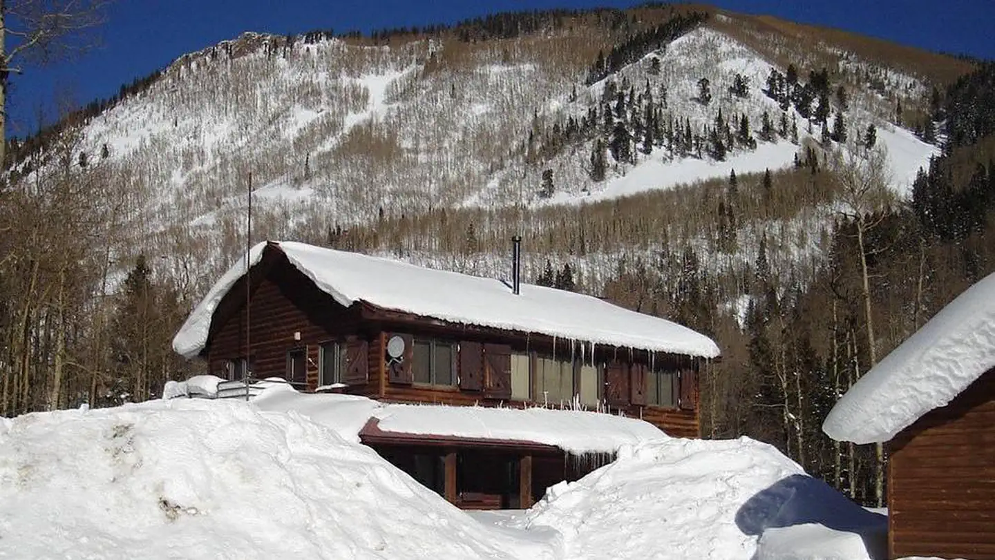
Cabin and lookout rentals nearby
Historic landmarks nearby


Natural features
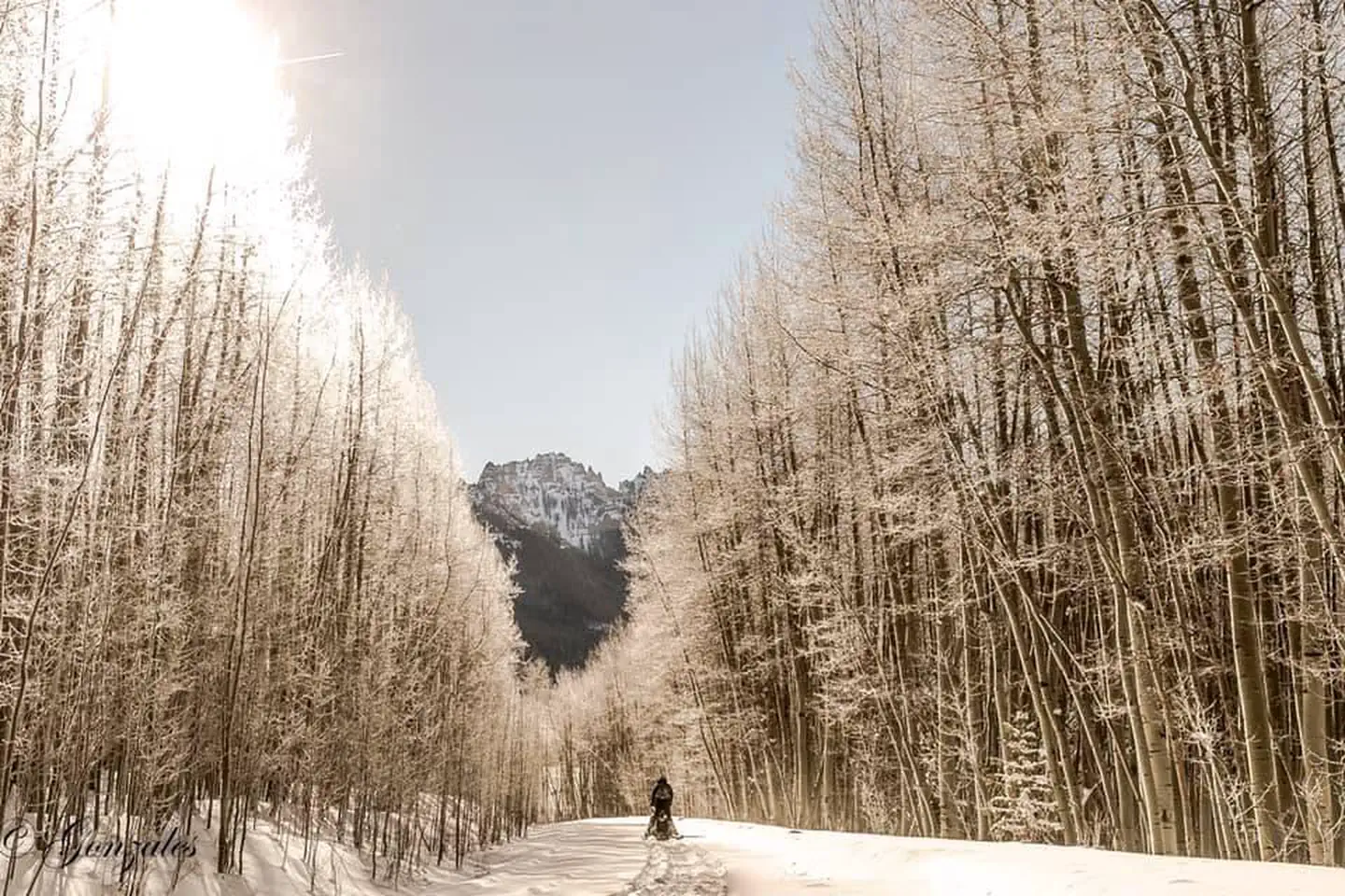
The campground is named for the natural rock amphitheater that stands over Ouray. The massive gray cliffs were created by ancient volcanic and glacial activity. The campground is situated on the mountainside above Ouray, with stellar views of the amphitheater. A forest of Gambel oak trees and mixed conifers covers the area.
Recreation
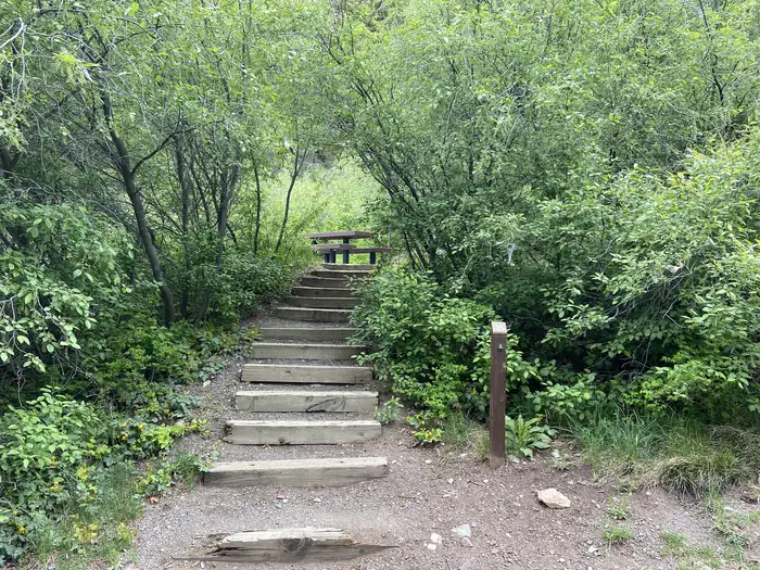
Many hiking trails are found in the immediate area, including the popular Upper Cascade Falls Trail, which begins at the campground. Baby Bath Tubs and Chief Ouray Mine trails can also be accessed from the same trailhead. The campground is a favorite among jeep and off-road enthusiasts for its close proximity to a number of exciting trails in the surrounding area.
Nearby
Ouray is known as America's Switzerland. The charming, historic, mountain town offers a variety of dining, shopping and lodging options, as well as a hot springs pool and a variety of annual festivals.
Guidebooks for Colorado
We earn a small commission if you buy through these links. It does not change what we list.



Titles come from Open Library's catalog, matched by subject heading or by title.
Reference
Questions people ask
Do I need a reservation at Amphitheater?
For some sites. Some sites take reservations on Recreation.gov. Others are first-come, first-served.
Source: Recreation.gov
How much does it cost to camp at Amphitheater?
$28 per night per camping unit; $10 per firewood bundle.
Source: Recreation.gov
What time is check-in at Amphitheater?
Check-in 1:00 PM, checkout 12:00 PM.
Source: Recreation.gov
Is Amphitheater open right now?
Closed for the season as of Oct 16, 2026. Season May 23 to Oct. 7.
Source: Forest Service status
How many sites does Amphitheater have?
35 sites, including 18 tent-only sites, 16 standard sites without power, and 1 RV site without hookups.
Source: Recreation.gov
Will my RV fit at Amphitheater?
The longest site here provides 35 feet of vehicle capacity. Most sites are shorter. The sidebar tool checks a trailer or motorhome length against every site.
Source: Will my RV fit
Are pets allowed at Amphitheater?
Yes, pets are allowed at Amphitheater. Leash rules apply.
Source: Recreation.gov
Are there accessible sites at Amphitheater?
Sites 016 and 017 are listed accessible on Recreation.gov. What that covers (a paved pad, an accessible table, a nearby accessible restroom) is on each site's booking page.
Source: Recreation.gov
Is there cell service at Amphitheater?
FCC coverage maps show Verizon 4G LTE, AT&T 5G, and T-Mobile 5G at the campground point. Terrain changes that from one site to the next.
Source: FCC Broadband Map
What is there to do at Amphitheater?
Many hiking trails are found in the immediate area, including the popular Upper Cascade Falls Trail, which begins at the campground. The Recreation section on this page has the rest.
Source: Recreation
What is the nearest town to Amphitheater?
Ouray, Colorado. Ouray is known as America's Switzerland.
Source: Getting there
What if Amphitheater is full?
The nearest public campgrounds are Thistledown Campground (2.2 mi, first-come), Angel Creek Campground (2.3 mi, first-come), and Alta Lakes Campground (Designated) (14.1 mi, first-come).
Source: Campgrounds nearby