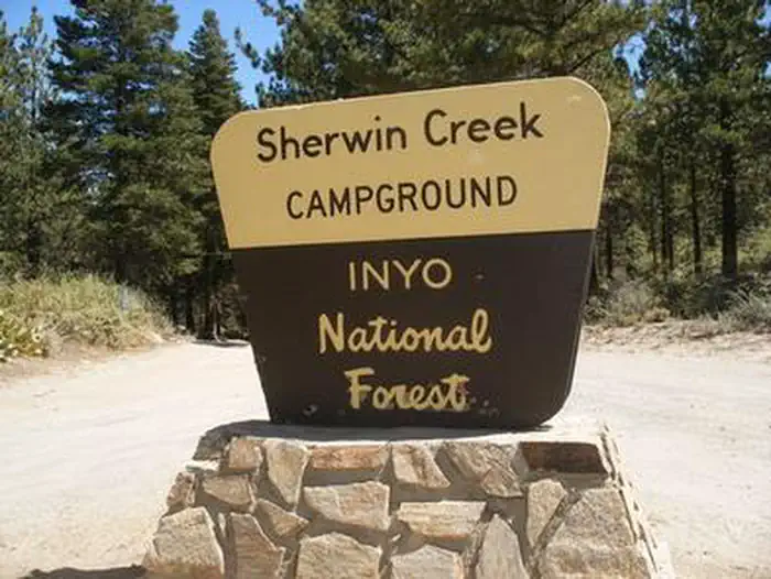
Sherwin Creek
Sherwin Creek Campground is located in the eastern Sierra Nevada Mountains within 2 miles of the full-service community of Mammoth Lakes, California. Popular among anglers, hikers, off-road vehicle enthusiasts and photographers, the campground is near some of the most spectacular wilderness and outdoor recreation areas in the Sierras.
More like this: reservable in California · big rigs in California · pets allowed in California
Check availability on Recreation.gov ↗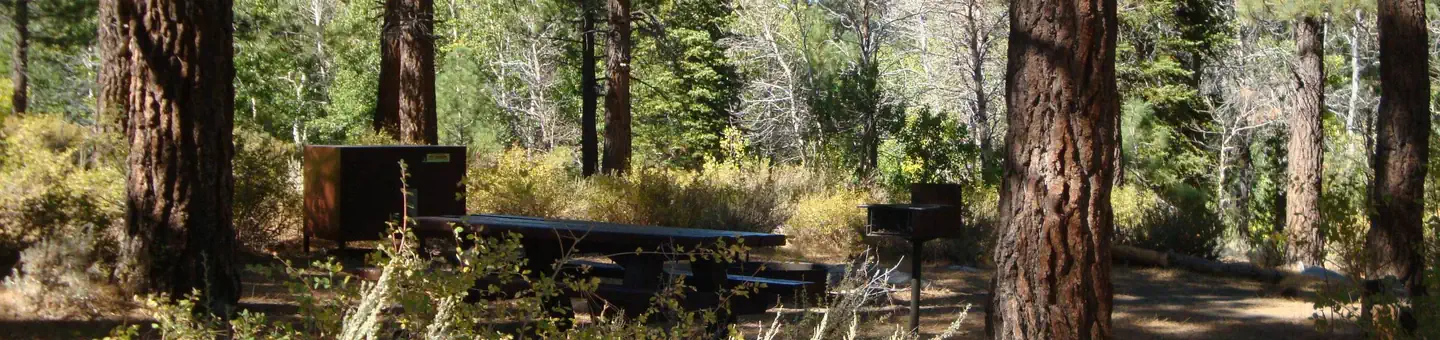
Site mix
| Standard, no hookups | 70 |
| Walk-in | 15 |
Site guide
Will my RV fit
The longest site here provides 60 feet of vehicle capacity. Most sites are shorter.
85 sites in 2 loops. Tap a filter to narrow the list; the map follows.
| Site | Loop | Type | Entry | Fits, ft | Surface | Shade | People / vehicles | Fires |
|---|---|---|---|---|---|---|---|---|
| 017 | SHER | Standard | Back-in | 30 | Partial | 6 / 1 | Yes | |
| 018 | SHER | Standard | Back-in | 34 | Partial | 6 / 1 | Yes | |
| 019 | SHER | Standard | Back-in | 50 | Partial | 6 / 1 | Yes | |
| 020 | SHER | Standard | Back-in | 27 | Partial | 6 / 1 | Yes | |
| 021 | SHER | Standard | Back-in | 47 | Partial | 6 / 1 | Yes | |
| 022 | SHER | Standard | Back-in | 40 | Partial | 6 / 1 | Yes | |
| 023 | SHER | Standard | Back-in | 32 | Gravel | Partial | 6 / 1 | Yes |
| 024 | SHER | Standard | Back-in | 36 | Partial | 6 / 1 | Yes | |
| 025 | SHER | Standard | Back-in | 41 | Full | 6 / 1 | Yes | |
| 026 | SHER | Standard | Back-in | 35 | Partial | 6 / 1 | Yes |
Per-site records as published by the managing agency on Recreation.gov. Blank cells mean the agency listed nothing for that site. Check-in 2:00 PM, checkout 12:00 PM.
Amenities & rules
| Hookups | None |
| Max vehicle length | 60 ft |
| Equipment | RVs & trailers, Tents |
| Pets | Allowed |
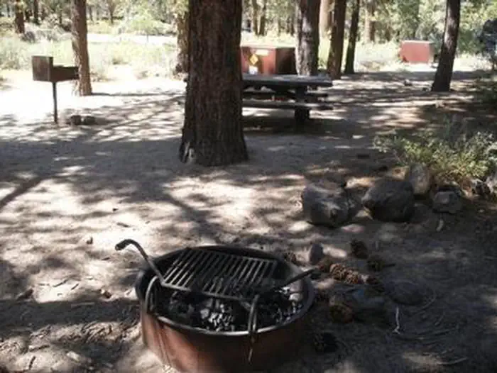
| Campfires | Allowed, subject to restrictions |
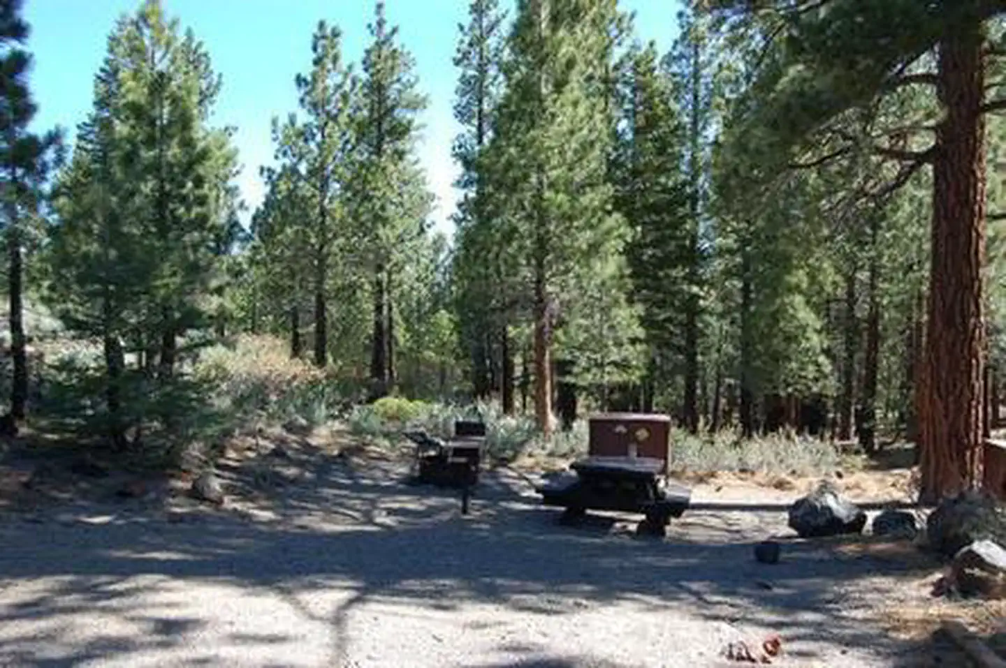
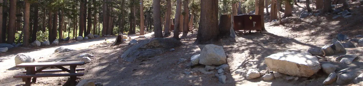
This large campground has campsites organized into three loops, all within walking distance of the creek. Several tent-only, walk-to sites make up another loop in a secluded area on either side of the creek. Sites have a native surface and plenty of shade.
Individual sites vary. Confirm on Recreation.gov or with the managing office.
Season & status
| Status | Closed for the season. Forest Service sites close for the season; check the official page for the reopening date. |
| Forest | Inyo National Forest |
| Booking | This site can be reserved by calling Toll Free 1-877-444-6777 (International 606-515-6777 or TDD 877-833-6777) or on-line at www.recreation.gov OPERATED BY: RRM-CLM Services, DBA Inyo Recreation… |
| Fees | $30.00 per night per site. |
| Rules | Active bear area, bear boxes are provided and must be used (typical bear box size 48" x 30" x 36"). |
Weather by month
Getting there
Take U.S. Highway 395 to State Highway 203 to Mammoth Lakes. Take a left at the first traffic light in town onto Old Mammoth Road. Drive south 0.9 miles to Sherwin Creek Road. Turn left and proceed 1.5 miles to the campground.
| Nearest town | Mammoth Lakes, California |
| Coordinates | 37.6289° N, 118.9379° W · Directions ↗ |
Charges and cancellations
Any location or activity requiring a permit or lottery will have unique requirements and policies. Please check individual facility pages for pertinent information for those sites. Change and Cancellation Policies and Fees Overnight and Day Use Facilities: To ensure fairness, reservation arrival or departure dates may not be changed beyond the booking window until 18 days after booking the reservation. Camping / Day Use: A $10.00 service fee will apply if you change or cancel your reservation (including campsites, cabins, lookouts, group facilities, etc.). The $10.00 service fee will be deducted from the refund amount.
Fire nearby
- WildfireDome
37 mi from the campground · 6,788 acres · 95% contained
Distance is to the reported incident point, not the fire edge. Call the managing office before you drive.
Supplies & services
| Dump station | Dump station ↗ | 1 mi |
| Outdoor gear | Mac's Sporting Goods ↗ | 34.9 mi |
Locations © OpenStreetMap contributors. Call ahead; hours change seasonally.
Explore
Video
Tour & Info Sherwin Creek Campground Mammoth Lakes California
Trails nearby
- 0.3 miIndian Caves Vis0.4 mi trail · hiking, horse, bike
- 0.4 miIndian Caves Vis South0.05 mi trail · hiking, horse, bike
- 0.5 miSherwin Lakes3.2 mi trail · hiking, horse, bike
- 0.8 miValentine Lake ↗4.7 mi trail · hiking, horse, bike
- 1.1 miMammoth Rock2.6 mi trail · hiking, horse, bike
- 1.4 miMammoth Rock Connector1.2 mi trail · hiking, horse, bike
Trail and trailhead records are the Forest Service's. Distances are straight-line to the nearer trail end. Trail conditions are not tracked here.
Public land it sits in
Sierra National Forest begins about 2.7 miles away, and it is the closest of these.
- 2.7 miSierra National Forest ↗National Forest · Forest Service · 1,418,790 acres
- 2.8 miAnsel Adams Wilderness ↗Wilderness · FS/NPS · 231,619 acres
- 6.5 miOwens River Headwaters Wilderness ↗Wilderness · Forest Service · 14,698 acres
Each unit is published as a centre point and an acreage rather than a boundary, so this section stands it in for a circle of the same area. Whether a campground is inside, and how far it is from one it is outside, are both approximate.
Other campgrounds nearby


On the National Register nearby
- Devils Postpile National Monument Ranger CabinBuilding · Mammoth Lakes · 8 mi
Natural features
The campground is situated in a shady forest of Jeffery pine, bordered by aspen-lined Sherwin Creek. The elevation is 7,600 feet. Wild roses and other flowers bring color to the landscape in spring and early summer.
Recreation
With a motocross track and trails, Sherwin Creek is a hot spot for off-road vehicle enthusiasts. The area's majestic scenery and challenging trails are also a draw for hikers. The Valentine Lake Trail and additional trailheads provide access to the John Muir Wilderness. The eastern Sierra Nevada Mountains are known for their exceptional trout fishing. Anglers can try for rainbow trout in the creek.
Nearby
For campers interested in local events, the Mammoth Lakes Jazz Jubilee is hosted in Mammoth annually in mid-July. Several other events and amenities are available in town. Many great day trips for sightseers are available in the area, such as Yosemite National Park, Mono Basin and Devils Postpile National Monument.
Guidebooks for Inyo National Forest and California
We earn a small commission if you buy through these links. It does not change what we list.

Titles come from Open Library's catalog, matched by subject heading or by title.
Reference
Questions people ask
Do I need a reservation at Sherwin Creek?
Sites at Sherwin Creek are reservable on Recreation.gov. This site can be reserved by calling Toll Free 1-877-444-6777 (International 606-515-6777 or TDD 877-833-6777) or on-line at www.recreation.gov OPERATED BY: RRM-CLM Services, DBA Inyo Recreation… Any walk-up sites are listed on the booking page.
Source: Recreation.gov
How much does it cost to camp at Sherwin Creek?
$30.00 per night per site.
Source: Recreation.gov
What time is check-in at Sherwin Creek?
Check-in 2:00 PM, checkout 12:00 PM.
Source: Recreation.gov
What does it cost to cancel a reservation at Sherwin Creek?
Camping / Day Use: A $10.00 service fee will apply if you change or cancel your reservation (including campsites, cabins, lookouts, group facilities, etc.).
Source: Charges and cancellations
Is Sherwin Creek open right now?
Closed for the season as of Oct 16, 2026.
Source: Forest Service status
How many sites does Sherwin Creek have?
85 sites, including 70 standard sites without power and 15 walk-in sites.
Source: Recreation.gov
Will my RV fit at Sherwin Creek?
The longest site here provides 60 feet of vehicle capacity. Most sites are shorter. The sidebar tool checks a trailer or motorhome length against every site.
Source: Will my RV fit
Are pets allowed at Sherwin Creek?
Yes, pets are allowed at Sherwin Creek. Leash rules apply.
Source: Recreation.gov
Can I have a campfire at Sherwin Creek?
Fires are allowed in the provided rings under normal conditions. As of 2026-10-16, there is 1 active fire within 50 miles, so check current restrictions before you light one. Active bear area, bear boxes are provided and must be used (typical bear box size 48" x 30" x 36").
Source: Fire nearby
Is there cell service at Sherwin Creek?
FCC coverage maps show Verizon 4G LTE, AT&T 5G, and T-Mobile 5G at the campground point. Terrain changes that from one site to the next.
Source: FCC Broadband Map
What is there to do at Sherwin Creek?
With a motocross track and trails, Sherwin Creek is a hot spot for off-road vehicle enthusiasts. The Recreation section on this page has the rest.
Source: Recreation
What is the nearest town to Sherwin Creek?
Mammoth Lakes, California. For campers interested in local events, the Mammoth Lakes Jazz Jubilee is hosted in Mammoth annually in mid-July.
Source: Getting there