Shafer Butte
Shafer Butte is located atop the scenic Boise Ridge Mountains, near Bogus Basin Mountain Recreation Area, at an elevation of 7,000 feet. Visitors enjoy hiking and biking on various trails in the surrounding area, and simply relaxing and taking in the area's beautiful views.
Some sites take reservations on Recreation.gov. Others are first-come, first-served.
More like this: first-come in Idaho · reservable in Idaho · tent only in Idaho · pets allowed in Idaho · group sites in Idaho
Check availability on Recreation.gov ↗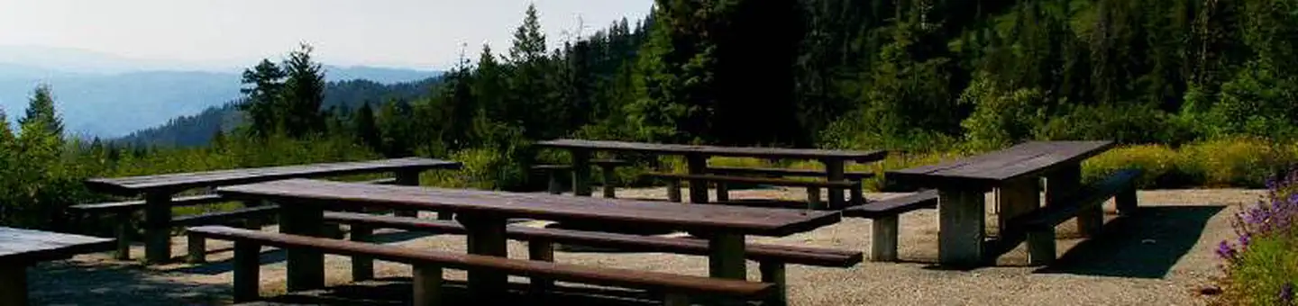
Site mix
| Walk-in | 7 |
| group picnic area | 2 |
Site guide
9 sites in 3 loops. Tap a filter to narrow the list; the map follows.
| Site | Loop | Type | Surface | Shade | People / vehicles | Fires | Accessible |
|---|---|---|---|---|---|---|---|
| 008 | RCLW | Walk-in | Gravel | Partial | 8 / 2 | Yes | Yes |
| 009 | RCLW | Walk-in | Gravel | Partial | 8 / 2 | Yes | Yes |
| 010 | RCLW | Walk-in | Gravel | Partial | 8 / 2 | Yes | Yes |
| 011 | RCLW | Walk-in | Gravel | Partial | 8 / 2 | Yes | Yes |
| 012 | RCLW | Walk-in | Gravel | Partial | 8 / 2 | Yes | Yes |
| 013 | RCLW | Walk-in | Gravel | Partial | 8 / 2 | Yes | Yes |
| 014 | RCLW | Walk-in | Gravel | Partial | 8 / 2 | Yes | Yes |
| GSW | RCWE | Group Picnic Area | Paved | Partial | 50 / 30 | Yes | Yes |
| GSE | SHAF | Group Picnic Area | Paved | Partial | 30 / 30 | Yes | Yes |
Per-site records as published by the managing agency on Recreation.gov. Blank cells mean the agency listed nothing for that site. Check-in 2:00 PM, checkout 1:00 PM.
Amenities & rules
| Equipment | Tents |
| Pets | Allowed |
| Campfires | Allowed, subject to restrictions |
| Accessibility | Sites 008, 009, 010, 011 and 5 more are listed accessible |
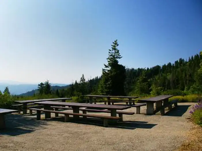
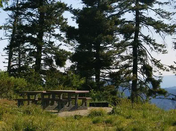
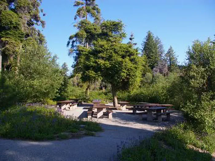
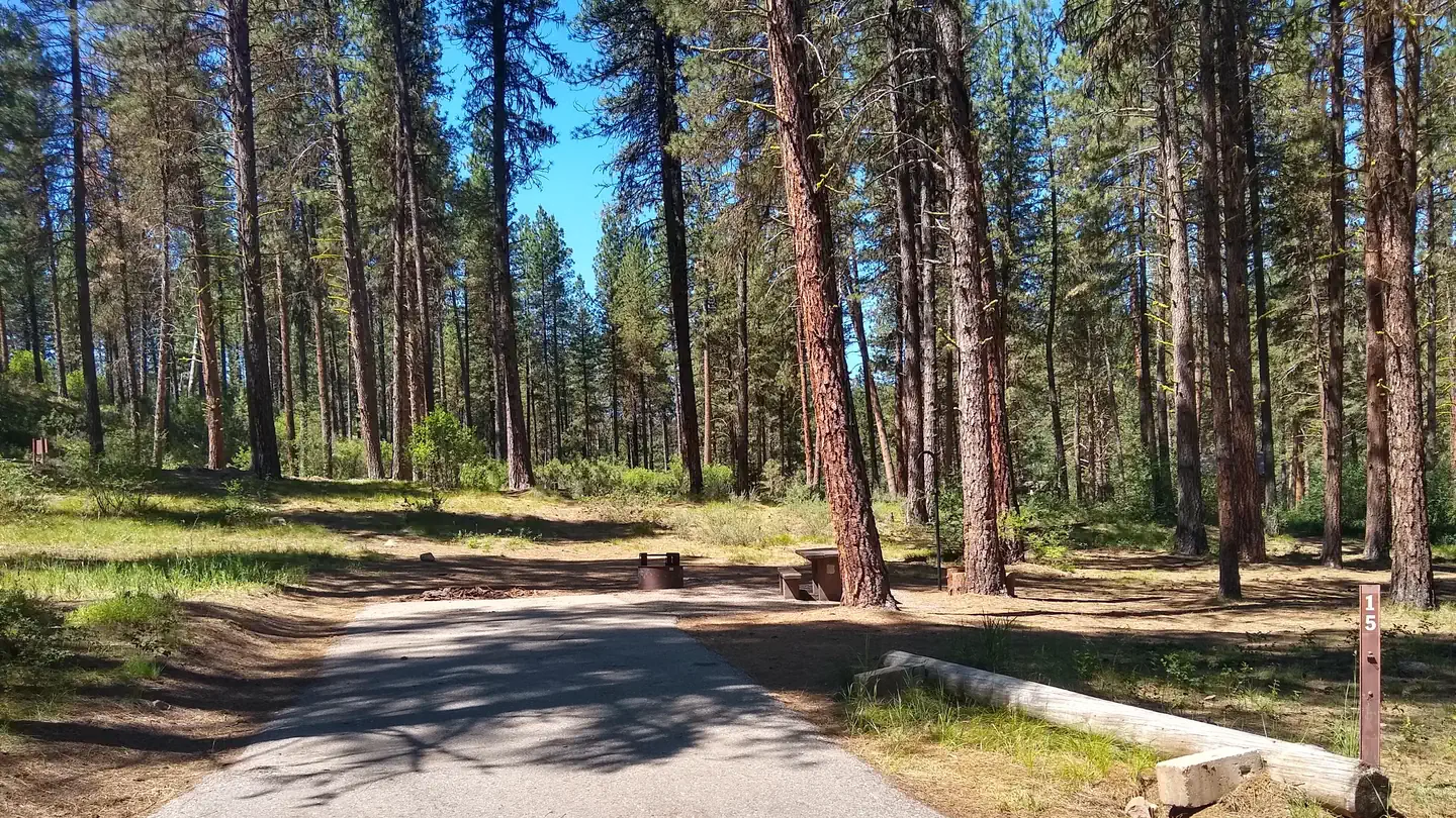
Shafer Butte contains single-family tent campsites and two day-use, group picnic areas, all of which are accessible. Sites are equipped with picnic tables and campfire rings, and many of the overnight campsites have tent pads. The overnight sites are walk-in and are clustered close together, with limited vegetation screening for privacy. Accessible vault restrooms are provided, but there is no electricity. Parking spurs and pathways within the campground are paved, and each site can be accessed via a short walking path from the parking area.
Individual sites vary. Confirm on Recreation.gov or with the managing office.
Season & status
| Season | Mid-June to End of September (snow dependent) |
| Forest | Boise National Forest |
| Booking | This is a fee campground for tents only. Reservations can be made at www.recreation.gov or by calling 1-877-444-6777. |
Weather by month
Getting there
From Boise, Idaho, travel along Bogus Basin Road for approximately 20 miles. The last three miles are on a gravel road. Turn right (east) on the signed gravel road and travel just over a mile to the campground and picnic area.
| Nearest town | Mountain Home, Idaho |
| Coordinates | 43.7831° N, 116.0842° W · Directions ↗ |
Fire nearby
- PrescribedRx Lowman Wui
38 mi from the campground
Distance is to the reported incident point, not the fire edge. Call the managing office before you drive.
Supplies & services
| Outdoor gear | Eco Lounge Freeride Shop ↗ | 11.6 mi |
| RV sales & service | Happy Camper ↗ | 13.3 mi |
| Dump station | Dump station ↗ | 29.7 mi |
Locations © OpenStreetMap contributors. Call ahead; hours change seasonally.
Explore
Worth a stop
- 5.6 miShingle Creek Trailhead ↗Trailhead
- 8.1 miTrail 4 Trailhead ↗Trailhead
Trails nearby
- 0.1 miMores Mountain Interpretive2.2 mi trail · hiking, horse, bike
- 0.1 miMores Mountain Mtn Bike1.5 mi trail · hiking, horse, bike
- 0.1 miShafer Butte Extension1.3 mi trail · snowshoe, ski
- 0.6 miElk Meadows1.5 mi trail · hiking, horse, bike
- 0.6 miLodge0.4 mi trail · hiking, horse, bike
- 0.7 miPacking0.8 mi trail · hiking, horse, bike
Trail and trailhead records are the Forest Service's. Distances are straight-line to the nearer trail end. Trail conditions are not tracked here.
Public land it sits in
This campground sits inside Boise National Forest.
- inBoise National Forest ↗National Forest · Forest Service · 2,526,862 acres
Each unit is published as a centre point and an acreage rather than a boundary, so this section stands it in for a circle of the same area. Whether a campground is inside, and how far it is from one it is outside, are both approximate.
Other campgrounds nearby


On the National Register nearby
- Schick–Ostolasa FarmsteadBuilding · Boise · 9.2 mi
- Anton Goreczky HouseBuilding · Boise · 11.5 mi
- William Whitehead HouseBuilding · Boise · 11.7 mi
Natural features
Shafer Butte offers scenic views of Deer Point, Mores Mountain and Shafer Butte summits, as well as the expansive valley below. The campground is situated among Douglas fir and aspen trees, which offer partial shade in most sites. Wildlife and summer wildflowers are abundant in the area.
Recreation
Popular activities in the area include hiking and mountain biking, the Mores Mountain Trail begins in the campground. This 2-mile interpretive nature trail is family friendly.
Guidebooks for Idaho
We earn a small commission if you buy through these links. It does not change what we list.

Titles come from Open Library's catalog, matched by subject heading or by title.
Reference
Questions people ask
Do I need a reservation at Shafer Butte?
For some sites. Some sites take reservations on Recreation.gov. Others are first-come, first-served.
Source: Recreation.gov
What time is check-in at Shafer Butte?
Check-in 2:00 PM, checkout 1:00 PM.
Source: Recreation.gov
How many sites does Shafer Butte have?
9 sites, including 7 walk-in sites and 2 group picnic area.
Source: Recreation.gov
Can I bring an RV to Shafer Butte?
Shafer Butte is listed for tents only.
Source: Recreation.gov
Are pets allowed at Shafer Butte?
Yes, pets are allowed at Shafer Butte. Leash rules apply.
Source: Recreation.gov
Can I have a campfire at Shafer Butte?
Fires are allowed in the provided rings under normal conditions. As of 2026-10-16, there is 1 active fire within 50 miles, so check current restrictions before you light one.
Source: Fire nearby
Are there accessible sites at Shafer Butte?
Sites 008, 009, 010, and 011 are listed accessible on Recreation.gov, 9 sites in all. What that covers (a paved pad, an accessible table, a nearby accessible restroom) is on each site's booking page.
Source: Recreation.gov
Is there cell service at Shafer Butte?
FCC coverage maps show AT&T 4G LTE at the campground point. Terrain changes that from one site to the next.
Source: FCC Broadband Map
What is there to do at Shafer Butte?
Popular activities in the area include hiking and mountain biking, the Mores Mountain Trail begins in the campground. The Recreation section on this page has the rest.
Source: Recreation
What is the nearest town to Shafer Butte?
Mountain Home, Idaho.
Source: Getting there
What if Shafer Butte is full?
The nearest public campgrounds are Grayback (11.1 mi, partly first-come), Grayback Campground And Group Sites - Reserve (11.2 mi, first-come), and Macks Creek Campground (14 mi).
Source: Campgrounds nearby