Hoyer
Hoyer Campground is situated among the ponderosa pine forests of eastern Arizona, and is one of the most popular campgrounds in the area for families and seniors. Is is less than a mile from Greer Lakes in the middle of the Apache National Forest. Hiking and fishing are especially popular.
More like this: reservable in Arizona · big rigs in Arizona
Check availability on Recreation.gov ↗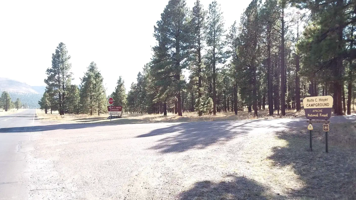
Site mix
| Standard, no hookups | 90 |
| Host/management | 1 |
Site guide
Will my RV fit
The longest site here provides 45 feet of vehicle capacity. Most sites are shorter.
90 sites in 4 loops. Tap a filter to narrow the list; the map follows.
| Site | Loop | Entry | Fits, ft | Surface | Shade | People / vehicles | Fires | Accessible |
|---|---|---|---|---|---|---|---|---|
| 075 | Bear Loop | Back-in | 40 | Paved | Full | 8 / 1 | ||
| 076 | Bear Loop | Back-in | 40 | Paved | Full | 8 / 1 | ||
| 077 | Bear Loop | Back-in | 40 | Paved | Full | 8 / 1 | ||
| 078 | Bear Loop | Back-in | 45 | Paved | Full | 8 / 1 | ||
| 079 | Bear Loop | Back-in | 40 | Paved | Full | 8 / 1 | ||
| 080 | Bear Loop | Back-in | 45 | Paved | Full | 8 / 1 | ||
| 081 | Bear Loop | Back-in | 40 | Paved | Full | 8 / 1 | ||
| 082 | Bear Loop | Back-in | 40 | Paved | Full | 8 / 1 | ||
| 083 | Bear Loop | 30 | Paved | Full | 8 / 1 | Yes | ||
| 084 | Bear Loop | Back-in | 40 | Paved | Full | 8 / 1 |
Per-site records as published by the managing agency on Recreation.gov. Blank cells mean the agency listed nothing for that site. Check-in 2:00 PM, checkout 1:00 PM.
Amenities & rules
| Hookups | None |
| Max vehicle length | 45 ft |
| Equipment | RVs & trailers, Tents |
| Campfires | Allowed, subject to restrictions |
| Accessibility | Sites 083, XXX are listed accessible |
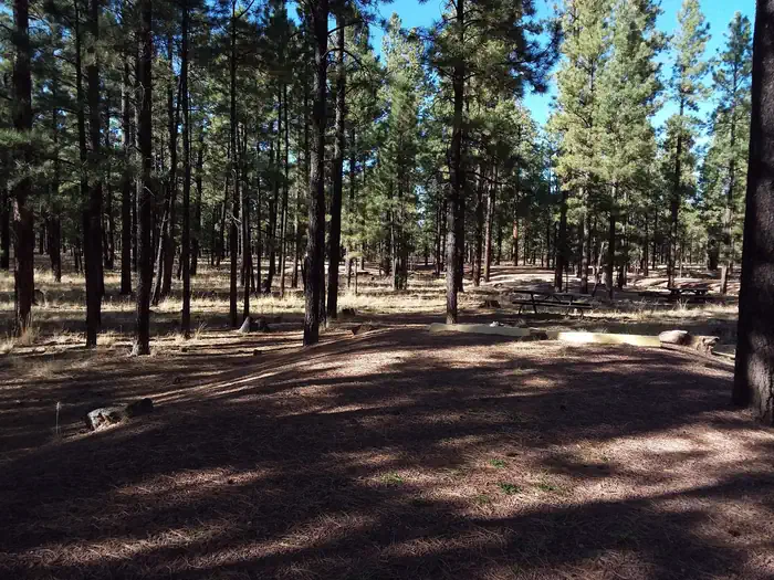
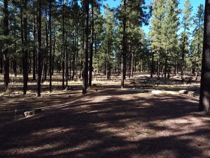
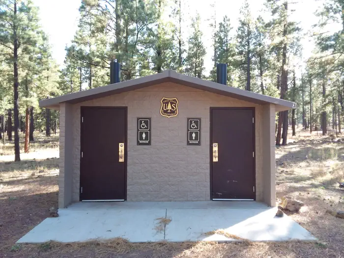
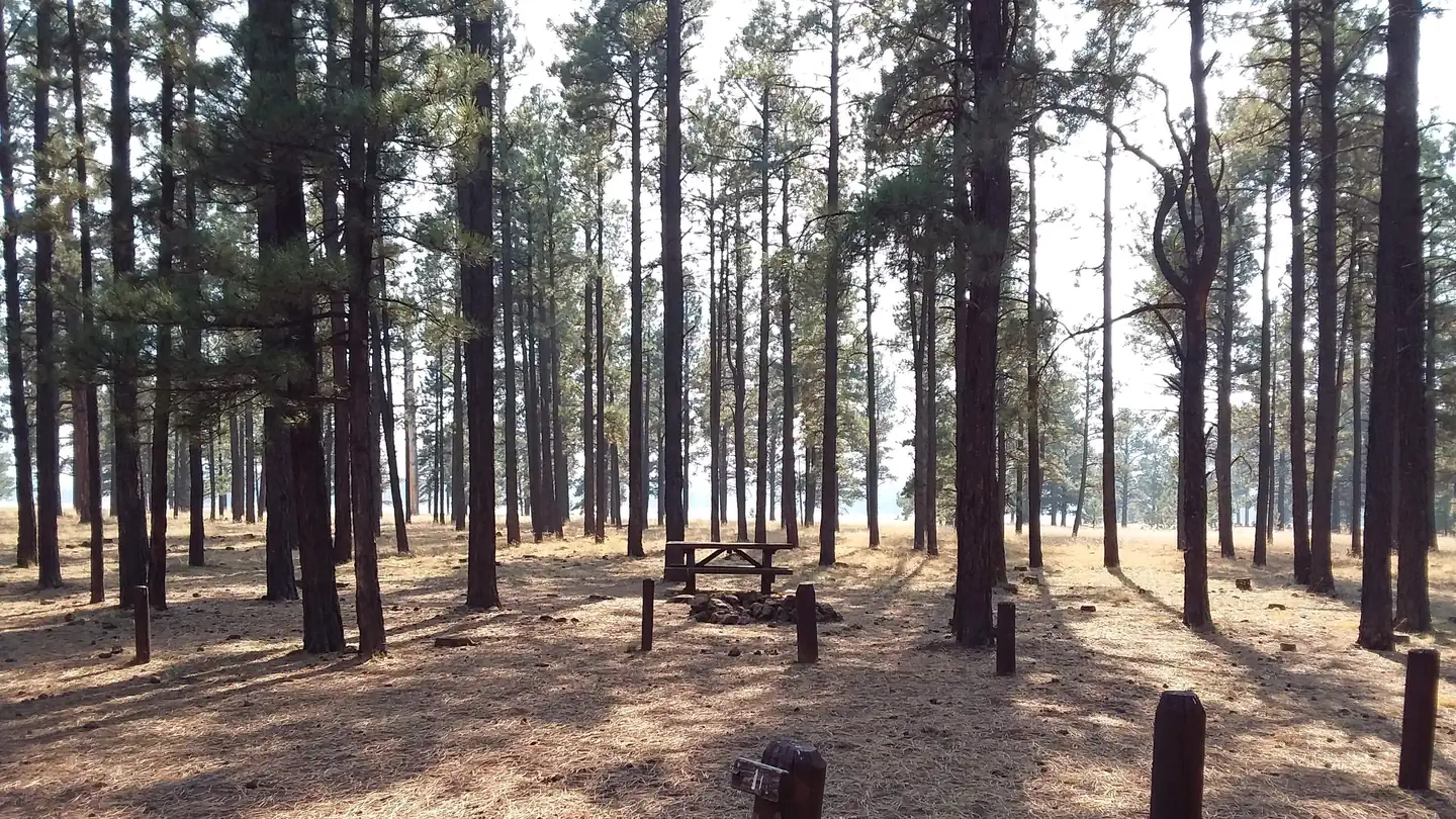
This large facility contains nearly 100 campsites. Sites are shaded and lie on a bed of pine needles or grass. Roads are gravel. The shower facilities and dump station are open. Campers can also purchase bundled firewood and ice from the on-site campground host.
Individual sites vary. Confirm on Recreation.gov or with the managing office.
Season & status
| Status | Temporarily closed |
| Season | May to October |
| Forest | Apache-Sitgreaves National Forest |
| Booking | Make a reservation |
| Fees | Per vehicle per night $24.00 Interagency/Senior Discount $12.00 Additional Camp Unit $24.00 collected at the campground |
Weather by month
Getting there
From Show Low, Arizona, take Highway 260 southeast 42 miles to Highway 373. Take Highway 373 south 3 miles to the campground, which is on the right.
| Coordinates | 34.0433° N, 109.4586° W · Directions ↗ |
Fire nearby
- PrescribedD6 Wallow West Unit 6 Rx
17 mi from the campground · 7,605 acres
- PrescribedFta Hawley Lake Rx
17 mi from the campground
- PrescribedD7 Butler West Rx
18 mi from the campground · 788 acres
- PrescribedD7 Arab Rx
19 mi from the campground · 674 acres
Distance is to the reported incident point, not the fire edge. Call the managing office before you drive.
Supplies & services
| Dump station | Dump station ↗ | 11.7 mi |
| Outdoor gear | Sportsman's Warehouse ↗ | 34.4 mi |
Locations © OpenStreetMap contributors. Call ahead; hours change seasonally.
Explore
Video
Rolfe C. Hoyer Campground, Arizona
Worth a stop
The closest towns are Greer and Springerville, Arizona. Campers can find gas, groceries, restaurants and equipment rentals in Greer. Visitors can explore endless vistas and take part in many outdoor activities in the surrounding Apache-Sitgreaves National Forest, which encompasses 2 million acres of magnificent mountain country in east-central Arizona and New Mexico.
- 0.2 mi
- 1.6 miRiver Reservoir South Fishing Site ↗Fishing site
- 1.9 miBulter Canyon Trailhead ↗Trailhead
- 1.9 mi
- 3.6 miSouth Fork Day Use Area ↗Day use
- 9.3 miCrescent Lake Point Area Fishing Site ↗Fishing site
Show all 7Hide
- 12 miBig Lake Marina Boating Site ↗Boat launch
Trails nearby
- 0.1 miPinyon Trail2.4 mi trail · snowshoe, ski
- 0.4 miFir1.8 mi trail · hiking, horse, bike, snowshoe and 1 more
- 0.5 miPonderosa ↗5.2 mi trail · hiking, horse, bike, snowshoe and 1 more
- 1.6 miJuniper ↗5.8 mi trail · hiking, horse, bike, snowshoe and 1 more
- 1.9 miButler Canyon0.9 mi trail · hiking, horse, bike
- 2 miWest Fork (lc) ↗5.4 mi trail · hiking, horse, bike
Trailheads within three miles
- 1.9 miBulter Canyon Trailhead ↗Apache-Sitgreaves National Forest
- 1.9 miWest Fork Of The Little Colorado Trailhead ↗Apache-Sitgreaves National Forest
Trail and trailhead records are the Forest Service's. Distances are straight-line to the nearer trail end. Trail conditions are not tracked here.
Public land it sits in
Apache-Sitgreaves National Forests begins about 3.7 miles away, and it is the closest of these.
- 3.7 miApache-Sitgreaves National Forests ↗National Forest · Forest Service · 2,110,688 acres
- 6.5 miMount Baldy Wilderness ↗Wilderness · Forest Service · 6,819 acres
Each unit is published as a centre point and an acreage rather than a boundary, so this section stands it in for a circle of the same area. Whether a campground is inside, and how far it is from one it is outside, are both approximate.
Other campgrounds nearby


Cabin and lookout rentals nearby
On the National Register nearby
- Butterfly LodgeBuilding · Greer · 1.8 mi
- Water Canyon Administrative SiteBuilding · Springerville · 9.6 mi
- Eagar SchoolBuilding · Eagar · 10.5 mi
Natural features
The campground sits in a heavily forested pine and aspen forest at an elevation of 8,300 feet in the scenic and remote White Mountains. Chipmunks and Abert's squirrels are common campground residents, and mule deer and elk inhabit the area as well. The nearby reservoir is one of three area lakes on the Little Colorado River. Summer temperatures can be very pleasant because of the elevation. However, the rainy season often brings afternoon thunderstorms from late June through August. Visitors should come prepared for rain and cool nighttime temperatures.
Recreation
Greer Lakes and the Little Colorado River are within walking distance for avid anglers seeking out rainbow, cutthroat, brook and brown trout. Hikers can check out several trails within a short drive. Those wishing to relax on a scenic drive can explore the White Mountain and Coronado Trail Scenic Byways. Curious campers can take part in guided nature walks around the lake or attend educational programs at the facility's amphitheater on Saturday evenings during the summer.
Guidebooks for Arizona
We earn a small commission if you buy through these links. It does not change what we list.
- Best Backpacking Trips in Utah, Arizona, and New MexicoMike White and Douglas Lorain, 2016Find at Bookshop.org
Titles come from Open Library's catalog, matched by subject heading or by title.
Reference
Questions people ask
Do I need a reservation at Hoyer?
Sites at Hoyer are reservable on Recreation.gov. Make a reservation Any walk-up sites are listed on the booking page.
Source: Recreation.gov
How much does it cost to camp at Hoyer?
Per vehicle per night $24.00 Interagency/Senior Discount $12.00 Additional Camp Unit $24.00 collected at the campground
Source: Recreation.gov
What time is check-in at Hoyer?
Check-in 2:00 PM, checkout 1:00 PM.
Source: Recreation.gov
Is Hoyer open right now?
Temporarily closed as of Oct 16, 2026. Season May to October.
Source: Forest Service status
How many sites does Hoyer have?
91 sites, including 90 standard sites without power.
Source: Recreation.gov
Will my RV fit at Hoyer?
The longest site here provides 45 feet of vehicle capacity. Most sites are shorter. The sidebar tool checks a trailer or motorhome length against every site.
Source: Will my RV fit
Are there showers or a dump station at Hoyer?
The shower facilities and dump station are open.
Source: Recreation.gov
Can I have a campfire at Hoyer?
Fires are allowed in the provided rings under normal conditions. As of 2026-10-16, there are 4 active fires within 50 miles, so check current restrictions before you light one.
Source: Fire nearby
Are there accessible sites at Hoyer?
Sites 083 and XXX are listed accessible on Recreation.gov. What that covers (a paved pad, an accessible table, a nearby accessible restroom) is on each site's booking page.
Source: Recreation.gov
What is there to do at Hoyer?
Greer Lakes and the Little Colorado River are within walking distance for avid anglers seeking out rainbow, cutthroat, brook and brown trout. The Recreation section on this page has the rest.
Source: Recreation
What if Hoyer is full?
The nearest public campgrounds are Benny Creek Group Area (0.6 mi), Winn (5.6 mi), and Gabaldon Horse Camp (8.1 mi, first-come).
Source: Campgrounds nearby