Grindstone
Grindstone Campground is tucked in the Fairwood Valley among pastures and wooded hillsides. The surrounding Mount Rogers National Recreation Area provides endless opportunities for fun and relaxation in the nature setting. Opossum Loop will be open for tent campers. There will be no available water. No Dump Station available.
More like this: electric hookups in Virginia · reservable in Virginia · big rigs in Virginia · pets allowed in Virginia
Check availability on Recreation.gov ↗
Amenities & rules
| Hookups | Electric, water |
| Max vehicle length | 110 ft |
| Equipment | RVs & trailers, Tents |
| Pets | Allowed |
| Campfires | Allowed, subject to restrictions |
| Tent pads | Yes |
| Accessibility | Sites 023, 025, 026, 022 and 6 more are listed accessible |
All sites have a fire ring with a cooking grate, lantern post, picnic table, and tent pad. Domestic pets are allowed as long as they are attended and kept on a leash no longer than six feet. Standard electric sites have 30 amp service and a water hook-up. No available water in opossum, COTTONTAIL, and groundhog den loops.
Individual sites vary. Confirm on Recreation.gov or with the managing office.
Season & status
| Status | Open |
| Season | mid-April to late-November |
| Forest | George Washington & Jefferson National Forest |
George Washington & Jefferson National Forest recreation page ↗
Weather by month
Getting there
From Marion, Virginia, take exit 45 to Highway 16 south. Continue for 17 miles, then turn right onto Highway 603. After 6 miles turn left into the Grindstone Campground entrance.
| Nearest town | Troutdale, Virginia |
| Coordinates | 36.6869° N, 81.5411° W · Directions ↗ |
Supplies & services
| Dump station | Dump station ↗ | 12.6 mi |
| Outdoor gear | Damascus Outfitters ↗ | 14.2 mi |
| RV sales & service | RV sales & service ↗ | 26.8 mi |
Locations © OpenStreetMap contributors. Call ahead; hours change seasonally.
Explore
Video
Camping at Grindstone Campground in Mount Rogers National Recreation Area & a day trip
Worth a stop
The Mount Rogers Scenic Byway, which traverses more than 50 miles with views of forestland and open rural countryside, is accessible nearby.
- 14.3 miAppalachian Trail Conservancy ↗Visitor center
Trails nearby
- 0.1 miMount Rogers Tie0.4 mi trail · hiking, horse, bike
- 0.1 miWhispering Waters0.6 mi trail · hiking, horse, bike
- 0.5 miMount Rogers ↗4.1 mi trail · hiking · national_recreation_or_other
- 0.5 miFairwood Valley2 mi trail · hiking, horse, bike
- 0.6 miGrassy Branch3.2 mi trail · hiking, horse
- 0.7 miFlattop1.7 mi trail · hiking, bike
Trail and trailhead records are the Forest Service's. Distances are straight-line to the nearer trail end. Trail conditions are not tracked here.
Public land it sits in
This campground sits inside Lewis Fork Wilderness.
- inLewis Fork Wilderness ↗Wilderness · Forest Service · 6,071 acres
- 3.1 miLittle Wilson Creek Wilderness ↗Wilderness · Forest Service · 5,461 acres
- 4.3 miRaccoon Branch Wilderness ↗Wilderness · Forest Service · 4,225 acres
Each unit is published as a centre point and an acreage rather than a boundary, so this section stands it in for a circle of the same area. Whether a campground is inside, and how far it is from one it is outside, are both approximate.
Other campgrounds nearby


Cabin and lookout rentals nearby
On the National Register nearby
- Abijah Thomas HouseBuilding · Marion · 6.2 mi
- William Waddell HouseBuilding · Grassy Creek · 9.9 mi
- Marion Male AcademyBuilding · Marion · 10 mi
Natural features
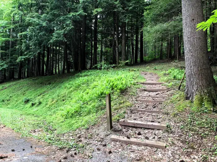
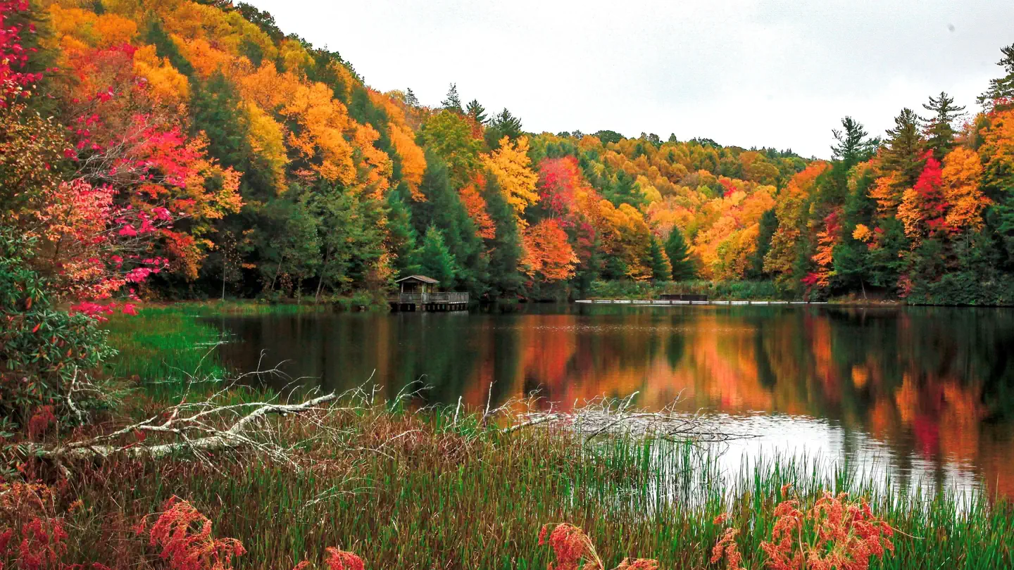
At 3,800 feet, Grindstone is surrounded by mixed hardwoods, hemlock and rhododendrons. The Mount Rogers National Recreation Area spans 200,000 acres of National Forest, with four wildlife-rich wilderness areas.
Recreation
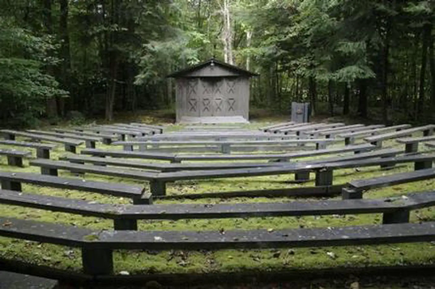
The area offers excellent hiking, mountain biking, horseback riding and hunting. Recommended hiking trails include the Mount Rogers Trail at 7.5 miles and the Whispering Waters Nature Trail at 0.6 miles. Several streams pass by just beyond the campground, with trout fishing available in abundance. The campground boasts a water play area in the creek, an amphitheater, a playground and volleyball courts to entertain families.
Guidebooks for Virginia
We earn a small commission if you buy through these links. It does not change what we list.
Titles come from Open Library's catalog, matched by subject heading or by title.
Reference
Questions people ask
Do I need a reservation at Grindstone?
Sites at Grindstone are reservable on Recreation.gov. Any walk-up sites are listed on the booking page.
Source: Recreation.gov
What time is check-in at Grindstone?
Check-in 2:00 PM, checkout 12:00 PM.
Source: Recreation.gov
Is Grindstone open right now?
Open as of Oct 16, 2026. Season mid-April to late-November.
Source: Forest Service status
How many sites does Grindstone have?
136 sites.
Source: Recreation.gov
Will my RV fit at Grindstone?
Recreation.gov lists no practical vehicle capacity limit for the largest site here, which usually means pull-through or open parking. The sidebar tool checks a trailer or motorhome length against every site.
Source: Will my RV fit
Does Grindstone have hookups?
Yes, electric and water hookups at some sites.
Source: Recreation.gov
Are pets allowed at Grindstone?
Yes, pets are allowed at Grindstone. Leash rules apply.
Source: Recreation.gov
Can I have a campfire at Grindstone?
Fires are allowed in the provided rings under normal conditions.
Source: Recreation.gov
Are there accessible sites at Grindstone?
Sites 023, 025, 026, and 022 are listed accessible on Recreation.gov, 10 sites in all. What that covers (a paved pad, an accessible table, a nearby accessible restroom) is on each site's booking page.
Source: Recreation.gov
What is there to do at Grindstone?
The area offers excellent hiking, mountain biking, horseback riding and hunting. The Recreation section on this page has the rest.
Source: Recreation
What is the nearest town to Grindstone?
Troutdale, Virginia. The Mount Rogers Scenic Byway, which traverses more than 50 miles with views of forestland and open rural countryside, is accessible nearby.
Source: Getting there
What if Grindstone is full?
The nearest public campgrounds are Fox Creek Horse Camp (2.2 mi), Old Virginia Group Horse Camp (3 mi), and Hurricane Campground (3.8 mi).
Source: Campgrounds nearby