Waterville Campground
Waterville Campground is a popular home base for hikers who want to explore the southern White Mountains, including the scenic Pemigewasset Wilderness. The tremendous choice of local attractions and the proximity to outdoor recreation opportunities - fishing, swimming, hiking and whitewater paddling to name a few - bring campers back to Waterville again and again. The White Mountains boast pristine forests, clear mountain streams and rivers and the tallest peaks in the Northeast. The forest encompasses nearly 800,000 acres in New Hampshire and western Maine, and is one of the most popular in the country.
More like this: reservable in New Hampshire · pets allowed in New Hampshire
Check availability on Recreation.gov ↗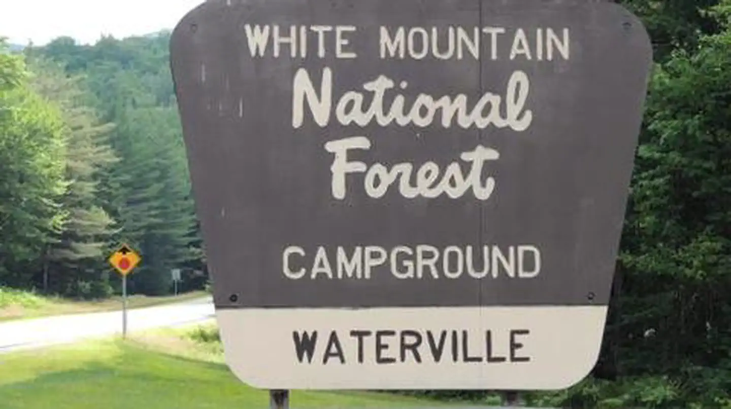
Site mix
| Standard, no hookups | 19 |
| Tent-only | 6 |
| Host/management | 4 |
Site guide
Will my RV fit
The longest site here provides 30 feet of vehicle capacity. Most sites are shorter.
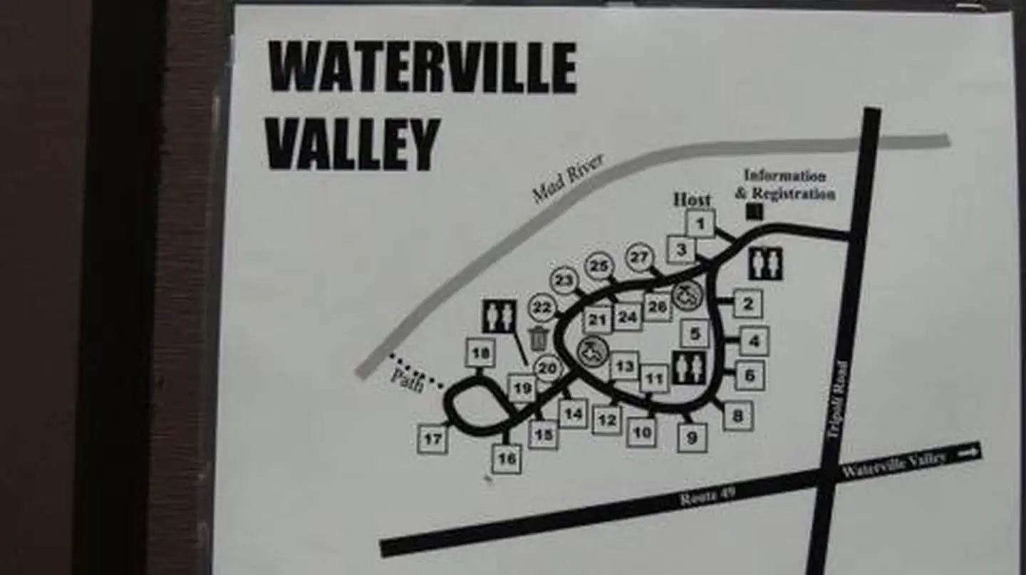
25 sites. Tap a filter to narrow the list; the map follows.
| Site | Type | Entry | Fits, ft | Surface | Shade | People / vehicles | Accessible |
|---|---|---|---|---|---|---|---|
| 002 | Standard | Back-in | 25 | Gravel | Full | 8 / 2 | Yes |
| 003 | Standard | Back-in | 25 | Gravel | Full | 8 / 2 | Yes |
| 004 | Standard | Back-in | 25 | Gravel | Full | 8 / 2 | Yes |
| 005 | Standard | Back-in | 30 | Gravel | Full | 8 / 2 | Yes |
| 006 | Standard | Back-in | 30 | Gravel | Full | 8 / 2 | Yes |
| 008 | Standard | Back-in | 25 | Gravel | Full | 8 / 2 | Yes |
| 009 | Standard | Back-in | 30 | Gravel | Full | 8 / 2 | Yes |
| 010 | Standard | Back-in | 30 | Gravel | Full | 8 / 2 | Yes |
| 011 | Tent only | Gravel | Full | 8 / 2 | Yes | ||
| 012 | Standard | 30 | Gravel | Full | 8 / 2 | Yes |
Per-site records as published by the managing agency on Recreation.gov. Blank cells mean the agency listed nothing for that site. Check-in 2:00 PM, checkout 12:00 PM.
Amenities & rules
| Hookups | None |
| Max vehicle length | 30 ft |
| Equipment | RVs & trailers, Tents |
| Pets | Allowed |
| Accessibility | Sites XXX, 002, 003, 004 and 18 more are listed accessible |
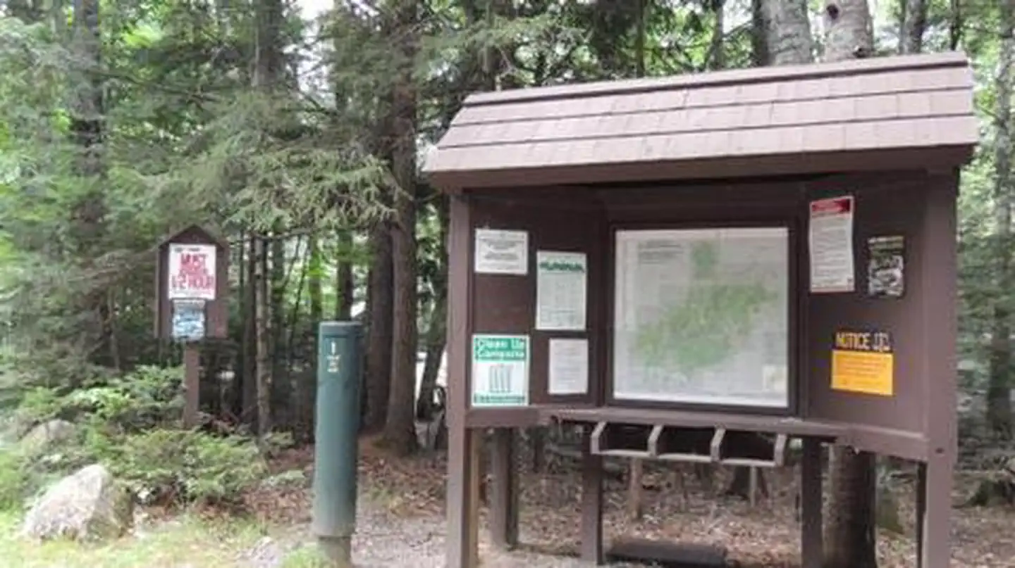
A mix of standard and tent-only sites are well-spaced around a single loop. The facility provides the basic amenities of restrooms and drinking water. Many other amenities such as showers and laundry facilities are within a short drive.
Individual sites vary. Confirm on Recreation.gov or with the managing office.
Season & status
| Season | mid-May to mid-October |
| Forest | White Mountain National Forest |
| Booking | Reserve sites online through recreation.gov or by calling toll free at 1-877-444-6777 (International 518-885-3639 or TDD 877-833-6777) |
| Fees | Single Family Site Per site / per night $24.00. Extra Vehicle (Space Permitting) Per vehicle / per night $6.00 |
Weather by month
Getting there
From Highway 93, take exit 28. Follow Highway 49 east for 10 miles, then turn left on Tripoli Road. The campground is 0.25 miles on the left.
| Coordinates | 43.9419° N, 71.5092° W · Directions ↗ |
Fire nearby
- PrescribedSouth Jackman Rx
19 mi from the campground · 39 acres
- PrescribedBradley Brook Rx
30 mi from the campground · 1 acres
- PrescribedMorse Rx
34 mi from the campground · 10 acres
Distance is to the reported incident point, not the fire edge. Call the managing office before you drive.
Supplies & services
| Outdoor gear | McKenzie Gear ↗ | 10.6 mi |
| Dump station | Dump station ↗ | 18.8 mi |
| RV sales & service | Big Moose RV ↗ | 27.8 mi |
Locations © OpenStreetMap contributors. Call ahead; hours change seasonally.
Explore
Video
Waterville Campground “White Mountains” National Forest
Worth a stop
Campers may want to take an afternoon to visit Gilford Beach, Dixon Point and Sandwich Beach, all near Waterville Campground. The facility is also close to Waterville Valley Resort, which offers night life, summer concert tours, restaurants, horseback riding, canoeing, mountain bike rentals and shops. The White Mountains region hosts four alpine and five nordic ski areas, which provide year-round recreation opportunities.
- 5.7 miAlgonquin Trailhead ↗Trailhead
- 6 miLivermore N Trailhead ↗Trailhead
- 7 miOtter Rocks Day Use Area ↗Day use
Trails nearby
- 0.3 miDrakes Brook3.2 mi trail · hiking, horse, bike
- 0.3 miSandwich Mtn3.5 mi trail · hiking, horse, bike
- 0.5 miFletcher Cascade1.2 mi trail · hiking, horse
- 0.5 miMad River Path0.2 mi trail · hiking, horse, bike
- 1.1 miSnows Mtn2.8 mi trail · hiking, horse, bike
- 1.4 miGreeley Ledge0.2 mi trail · hiking, horse, bike
Trailheads within three miles
- 0.3 miDrakes Brook/Sandwich Mtn Trailhead ↗White Mountain National Forest
- 1.2 miMad River Trailhead ↗White Mountain National Forest
- 1.2 miSnow's Mt N Trailhead ↗White Mountain National Forest
- 1.7 miLivermore S Trailhead ↗White Mountain National Forest
Trail and trailhead records are the Forest Service's. Distances are straight-line to the nearer trail end. Trail conditions are not tracked here.
Public land it sits in
This campground sits inside Sandwich Range Wilderness, which overlaps White Mountain National Forest.
- inSandwich Range Wilderness ↗Wilderness · Forest Service · 35,301 acres
- inWhite Mountain National Forest ↗National Forest · Forest Service · 946,821 acres
- 8.6 miPemigewasset Wilderness ↗Wilderness · Forest Service · 45,809 acres
Each unit is published as a centre point and an acreage rather than a boundary, so this section stands it in for a circle of the same area. Whether a campground is inside, and how far it is from one it is outside, are both approximate.
Other campgrounds nearby

Cabin and lookout rentals nearby
On the National Register nearby
- North Sandwich Meeting HouseBuilding · Sandwich · 9 mi
- Russell–Colbath HouseBuilding · Albany · 9.2 mi
- Durgin BridgeStructure · Sandwich · 9.3 mi
Natural features
The campground sits in a thick forest of northern hardwood trees, adjacent to the Mad River and surrounded by mountains. The national forest is home to many species of northern wildlife, including moose, white-tailed deer and black bear. Almost 200 species of birds, including the rare Bicknell's Thrush, live in the White Mountains.
Recreation
Hikers are drawn to the many trails in the area. Campers can easily access the Drakes Brook Trail (4.4 miles) and Sandwich Trail (3.9 miles), which form a loop that begins and ends near the campground. Water sports include fishing and kayaking. Anglers can cast a line for brook trout in the Mad River. A bit farther away is the Winnipesaukee River, which has a great 2.1-mile category I-II section of whitewater. Other activities such as summer concerts, a swimming area, golf course and the Gunstock ski resort are close by.
Guidebooks for New Hampshire
We earn a small commission if you buy through these links. It does not change what we list.
Titles come from Open Library's catalog, matched by subject heading or by title.
Reference
Questions people ask
Do I need a reservation at Waterville Campground?
Sites at Waterville Campground are reservable on Recreation.gov. Reserve sites online through recreation.gov or by calling toll free at 1-877-444-6777 (International 518-885-3639 or TDD 877-833-6777) Any walk-up sites are listed on the booking page.
Source: Recreation.gov
How much does it cost to camp at Waterville Campground?
Single Family Site Per site / per night $24.00. Extra Vehicle (Space Permitting) Per vehicle / per night $6.00
Source: Recreation.gov
What time is check-in at Waterville Campground?
Check-in 0:00 AM, checkout 0:00 AM.
Source: Recreation.gov
How many sites does Waterville Campground have?
29 sites, including 19 standard sites without power and 6 tent-only sites.
Source: Recreation.gov
Will my RV fit at Waterville Campground?
The longest site here provides 30 feet of vehicle capacity. Most sites are shorter. The sidebar tool checks a trailer or motorhome length against every site.
Source: Will my RV fit
Are there showers or a dump station at Waterville Campground?
Many other amenities such as showers and laundry facilities are within a short drive.
Source: Recreation.gov
Are pets allowed at Waterville Campground?
Yes, pets are allowed at Waterville Campground. Leash rules apply.
Source: Recreation.gov
Are there accessible sites at Waterville Campground?
Sites XXX, 002, 003, and 004 are listed accessible on Recreation.gov, 22 sites in all. What that covers (a paved pad, an accessible table, a nearby accessible restroom) is on each site's booking page.
Source: Recreation.gov
Is there cell service at Waterville Campground?
FCC coverage maps show Verizon 4G LTE, AT&T 4G LTE, and T-Mobile 5G at the campground point. Terrain changes that from one site to the next.
Source: FCC Broadband Map
What is there to do at Waterville Campground?
Hikers are drawn to the many trails in the area. The Recreation section on this page has the rest.
Source: Recreation
What if Waterville Campground is full?
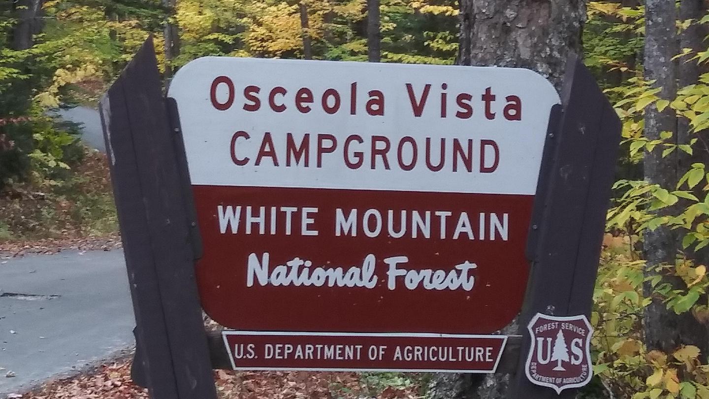
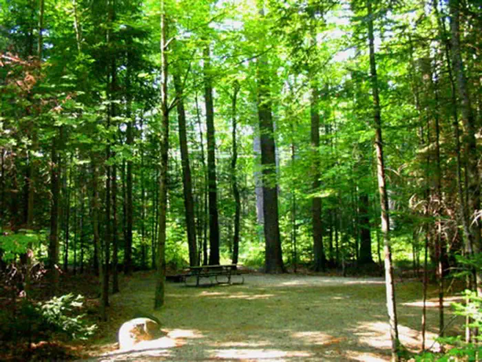
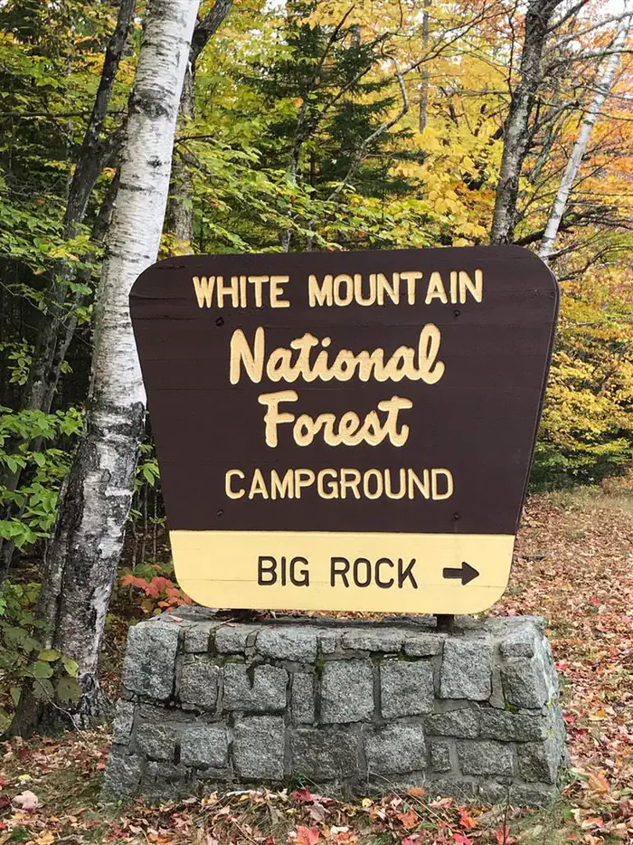
The nearest public campgrounds are Osceola Vista Campground (2.2 mi, partly first-come), Campton Campground (7.5 mi), and Big Rock (7.8 mi, partly first-come).
Source: Campgrounds nearby