Mcwilliams
McWilliams Campground is located in the Spring Mountains National Recreation Area, just 50 miles from downtown Las Vegas. Visitors enjoy hiking, mountain biking and scenic driving in this forested desert oasis.
More like this: reservable in Nevada · big rigs in Nevada · pets allowed in Nevada
Check availability on Recreation.gov ↗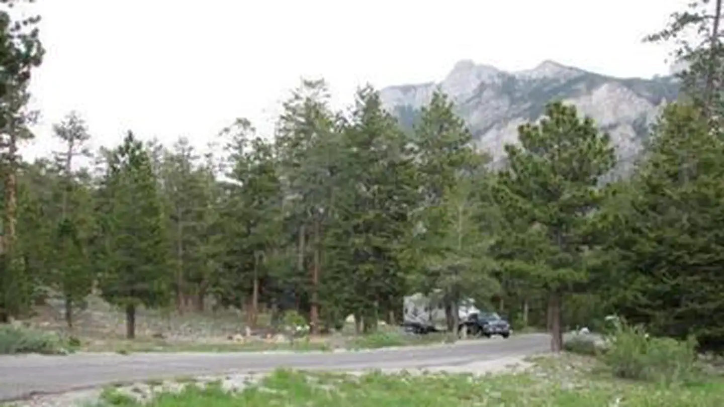
Site mix
| Standard, no hookups | 75 |
| Host/management | 2 |
Site guide
Will my RV fit
The longest site here provides 64 feet of vehicle capacity. Most sites are shorter.
75 sites in 5 loops. Tap a filter to narrow the list; the map follows.
| Site | Loop | Entry | Fits, ft | Surface | Shade | People / vehicles | Fires | Rating |
|---|---|---|---|---|---|---|---|---|
| 001 | 1 - Eureka | Back-in | 50 | Paved | Partial | 8 / 2 | Yes | Preferred |
| 002 | 1 - Eureka | Back-in | 50 | Paved | Partial | 8 / 2 | Yes | Preferred |
| 003 | 1 - Eureka | Back-in | 58 | Paved | Partial | 16 / 4 | Yes | Preferred |
| 004 | 1 - Eureka | Back-in | 58 | Paved | Partial | 16 / 4 | Yes | Preferred |
| 005 | 1 - Eureka | Back-in | 58 | Paved | Partial | 8 / 2 | Yes | Preferred |
| 006 | 1 - Eureka | Back-in | 54 | Paved | Partial | 8 / 2 | Yes | Preferred |
| 007 | 1 - Eureka | Back-in | 53 | Paved | Partial | 8 / 2 | Yes | Preferred |
| 008 | 1 - Eureka | Back-in | 45 | Paved | Partial | 8 / 2 | Yes | Preferred |
| 009 | 1 - Eureka | Back-in | 57 | Paved | Partial | 16 / 4 | Yes | Preferred |
| 010 | 1 - Eureka | Back-in | 60 | Paved | Partial | 16 / 4 | Yes | Preferred |
Per-site records as published by the managing agency on Recreation.gov. Blank cells mean the agency listed nothing for that site. Check-in 2:00 PM, checkout 12:00 PM.
Amenities & rules
| Hookups | None |
| Max vehicle length | 64 ft |
| Equipment | RVs & trailers, Tents |
| Pets | Allowed |
| Campfires | Allowed, subject to restrictions |
| Tent pads | Yes |
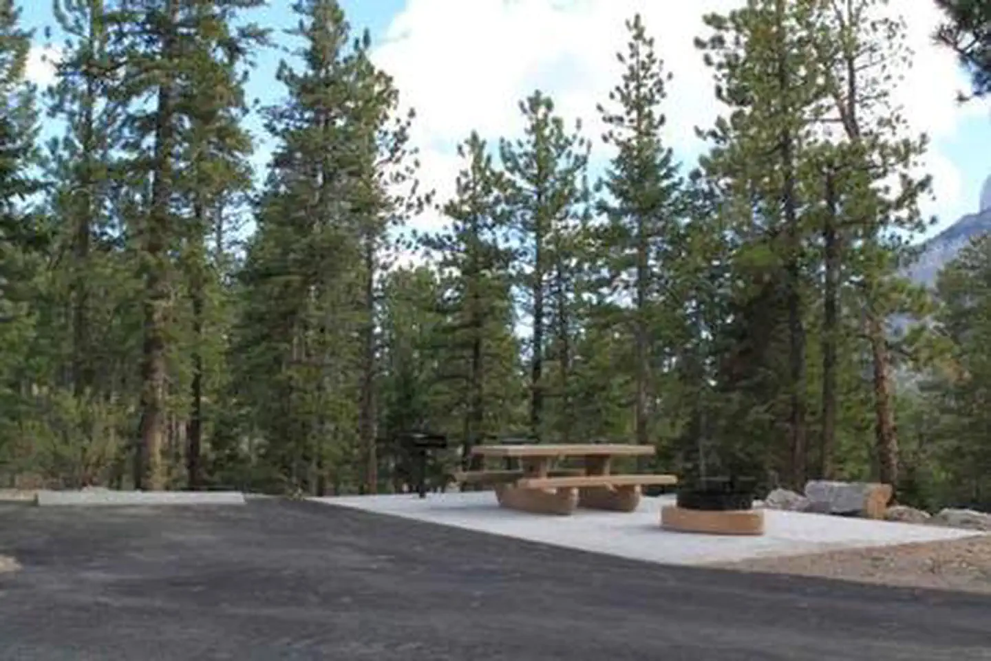
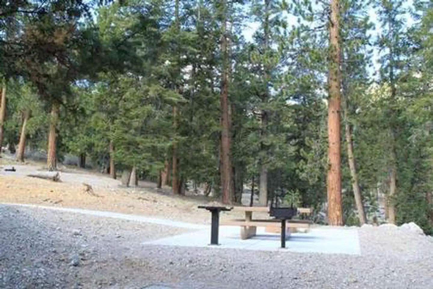
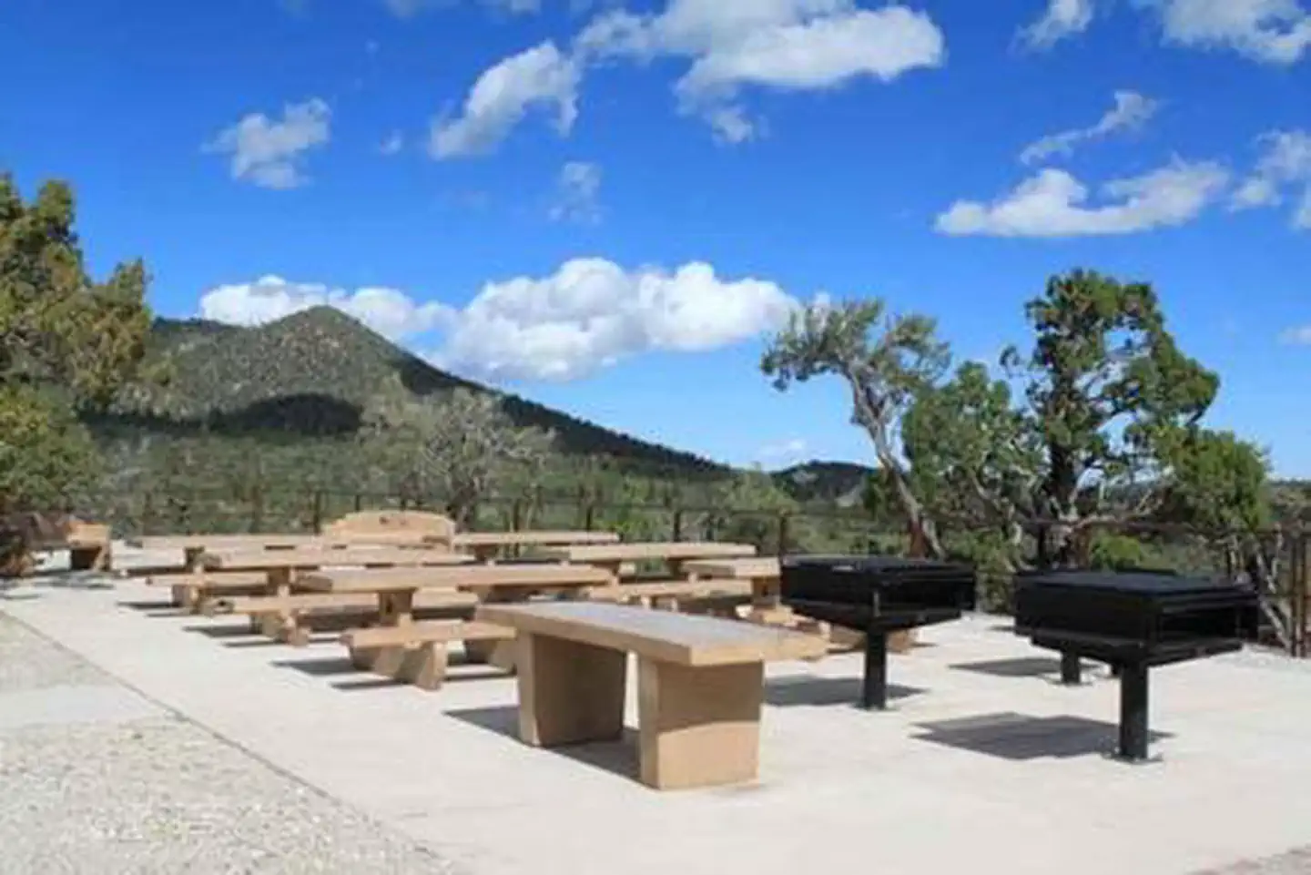
This campground contains several single and double-family sites with picnic tables, grills and campfire rings. Flush toilets, drinking water, and trash collection are provided. Roads and parking spurs are paved.
Individual sites vary. Confirm on Recreation.gov or with the managing office.
Season & status
| Season | May to October |
| Forest | Humboldt-Toiyabe National Forest |
| Booking | Yes, Odd # sites can be reserved at https://www.recreation.gov/camping/campgrounds/232168 or by calling Toll Free 1-877-444-6777 (International 606-515-6777 or TDD 877-833-6777). |
| Fees | Per Day: $25 Single/$50 Double |
| Rules | Dogs must be on a leash at campground. No stock animal allowed in campground. |
Weather by month
Getting there
From Las Vegas, Nevada, take Highway 95 north 29 miles to junction with State Route 156/Lee Canyon. Turn left and travel 19.5 miles to the campground, which is on the right.
| Coordinates | 36.3092° N, 115.6825° W · Directions ↗ |
Supplies & services
| Outdoor gear | Sportsman's Warehouse ↗ | 23.8 mi |
| RV sales & service | Native Campervans ↗ | 30.3 mi |
Locations © OpenStreetMap contributors. Call ahead; hours change seasonally.
Explore
Video
McWilliams Campground | Eureka, McWilliams, and Dolomite Loops | Sites 1-45 | Drive Thru
Worth a stop
More than 60 miles of hiking and horseback riding trails crisscross the area. Rock climbing, picnicking and scenic driving are popular activities. The Spring Mountains Visitor Center in Kyle Canyon offers guided hikes and educational and evening programs. Interpretive displays provide information on local plants, animals and history.
- 0.4 miUpper Bristlecone Trailhead ↗Trailhead
- 0.8 miLower Bristlecone Trailhead ↗Trailhead
- 0.8 miOld Mill Picnic Site ↗Day use
- 3.4 miDeer Creek Picnic Site ↗Day use
Trails nearby
- 0.3 miBristlecone ↗5.1 mi trail · hiking, horse, bike
- 0.8 miBonanza ↗13.6 mi trail · hiking, horse, bike
- 2.1 miMary Jane Falls1.5 mi trail · hiking, horse, bike
- 2.6 miMummy Springs0.3 mi trail · hiking, horse
- 2.7 miNorth Loop ↗9.6 mi trail · hiking, horse, bike
- 3.5 miDesert View0.1 mi trail · hiking, horse, bike
Trailheads within three miles
- 0.4 miUpper Bristlecone Trailhead ↗Humboldt-Toiyabe National Forest · Season January to December
- 0.8 miLower Bristlecone Trailhead ↗Humboldt-Toiyabe National Forest · Season January to December
Trail and trailhead records are the Forest Service's. Distances are straight-line to the nearer trail end. Trail conditions are not tracked here.
Public land it sits in
This campground sits inside Mt. Charleston Wilderness.
- inMt. Charleston Wilderness ↗Wilderness · BLM/FS · 56,819 acres
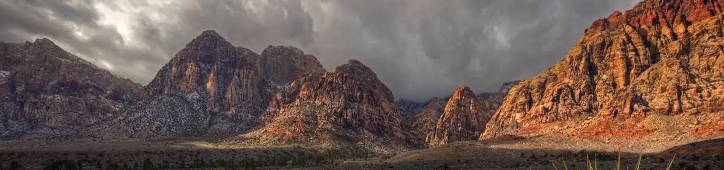
- 4.4 miRed Rock Canyon National Conservation Area ↗National Conservation Area · Bureau of Land Management · 201,531 acres
- 6.9 miLa Madre Mountain Wilderness ↗Wilderness · BLM/FS · 46,943 acres
Each unit is published as a centre point and an acreage rather than a boundary, so this section stands it in for a circle of the same area. Whether a campground is inside, and how far it is from one it is outside, are both approximate.
Other campgrounds nearby
Natural features
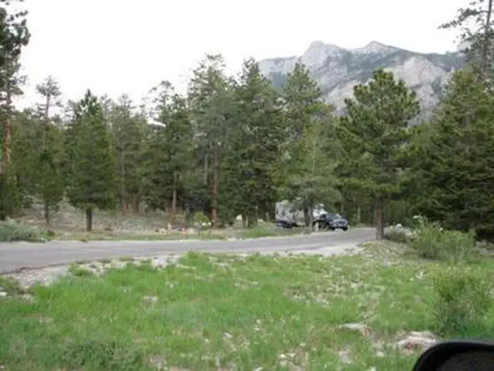
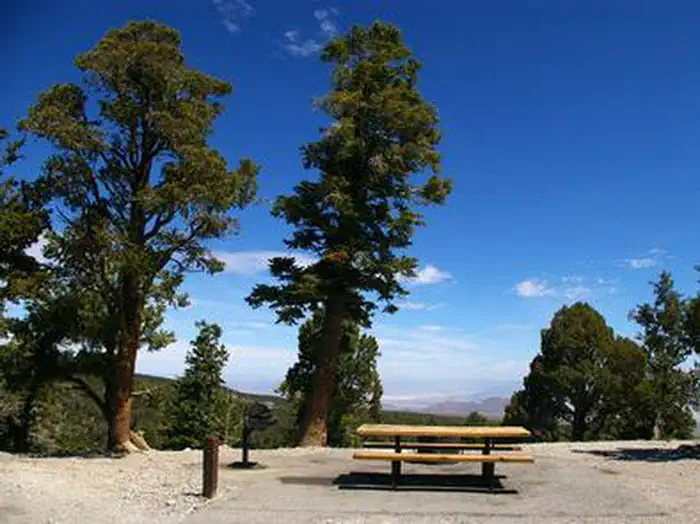
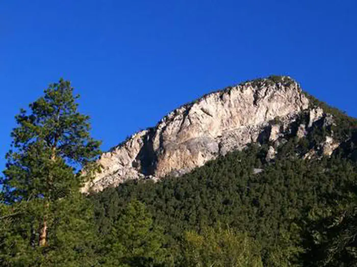
The Spring Mountains National Recreation Area is a beautiful island in the desert, brimming with breathtaking scenery and diverse flora and fauna. The Bristlecone pine, the world's oldest organism, and the rare Mount Charleston blue butterfly are both found within the Spring Mountains. More than 100 springs create the namesake for the mountain range, making it an ideal place to escape the heat of the city. The campground is situated in a scenic Ponderosa and white pine forest, which offers partial shade. The area affords breathtaking views of the surrounding Spring Mountains.
Recreation
Hiking and mountain biking are popular activities on the 6.2-mile Bristlecone Trail. Upper and lower trailheads are located just above and below the campground. The 1.3-mile Sawmill Trail begins about four miles below the campground just off State Route 156.
Guidebooks for Nevada
We earn a small commission if you buy through these links. It does not change what we list.
- Best Backpacking Trips in California and NevadaMike White and Douglas Lorain, 2015Find at Bookshop.org
Titles come from Open Library's catalog, matched by subject heading or by title.
Reference
Questions people ask
Do I need a reservation at Mcwilliams?
Sites at Mcwilliams are reservable on Recreation.gov. Yes, Odd # sites can be reserved at https://www.recreation.gov/camping/campgrounds/232168 or by calling Toll Free 1-877-444-6777 (International 606-515-6777 or TDD 877-833-6777). Any walk-up sites are listed on the booking page.
Source: Recreation.gov
How much does it cost to camp at Mcwilliams?
Per Day: $25 Single/$50 Double
Source: Recreation.gov
What time is check-in at Mcwilliams?
Check-in 2:00 PM, checkout 12:00 PM.
Source: Recreation.gov
How many sites does Mcwilliams have?
77 sites, including 75 standard sites without power.
Source: Recreation.gov
Will my RV fit at Mcwilliams?
The longest site here provides 64 feet of vehicle capacity. Most sites are shorter. The sidebar tool checks a trailer or motorhome length against every site.
Source: Will my RV fit
Are there showers or a dump station at Mcwilliams?
Flush toilets, drinking water, and trash collection are provided.
Source: Recreation.gov
Are pets allowed at Mcwilliams?
Yes, pets are allowed at Mcwilliams. Leash rules apply.
Source: Recreation.gov
Can I have a campfire at Mcwilliams?
Fires are allowed in the provided rings under normal conditions. Dogs must be on a leash at campground.
Source: Recreation.gov
What is there to do at Mcwilliams?
Hiking and mountain biking are popular activities on the 6.2-mile Bristlecone Trail. The Recreation section on this page has the rest.
Source: Recreation
What if Mcwilliams is full?
The nearest public campgrounds are Mahogany Grove (3.7 mi), Hilltop (4.2 mi), and Fletcher View (4.9 mi).
Source: Campgrounds nearby