Whitney Portal
Whitney Portal Campground is in a prime location within the eastern Sierra Nevada Mountains - at the base of Mt. Whitney, the highest peak in the continental United States. With hiking trails to Mt. Whitney and the John Muir Wilderness less than a mile away, the campground is a popular home base for hikers, as well as family, RV and tent campers who wish to explore the area's activities and enjoy unparalleled scenery.
More like this: reservable in California · pets allowed in California · group sites in California
Check availability on Recreation.gov ↗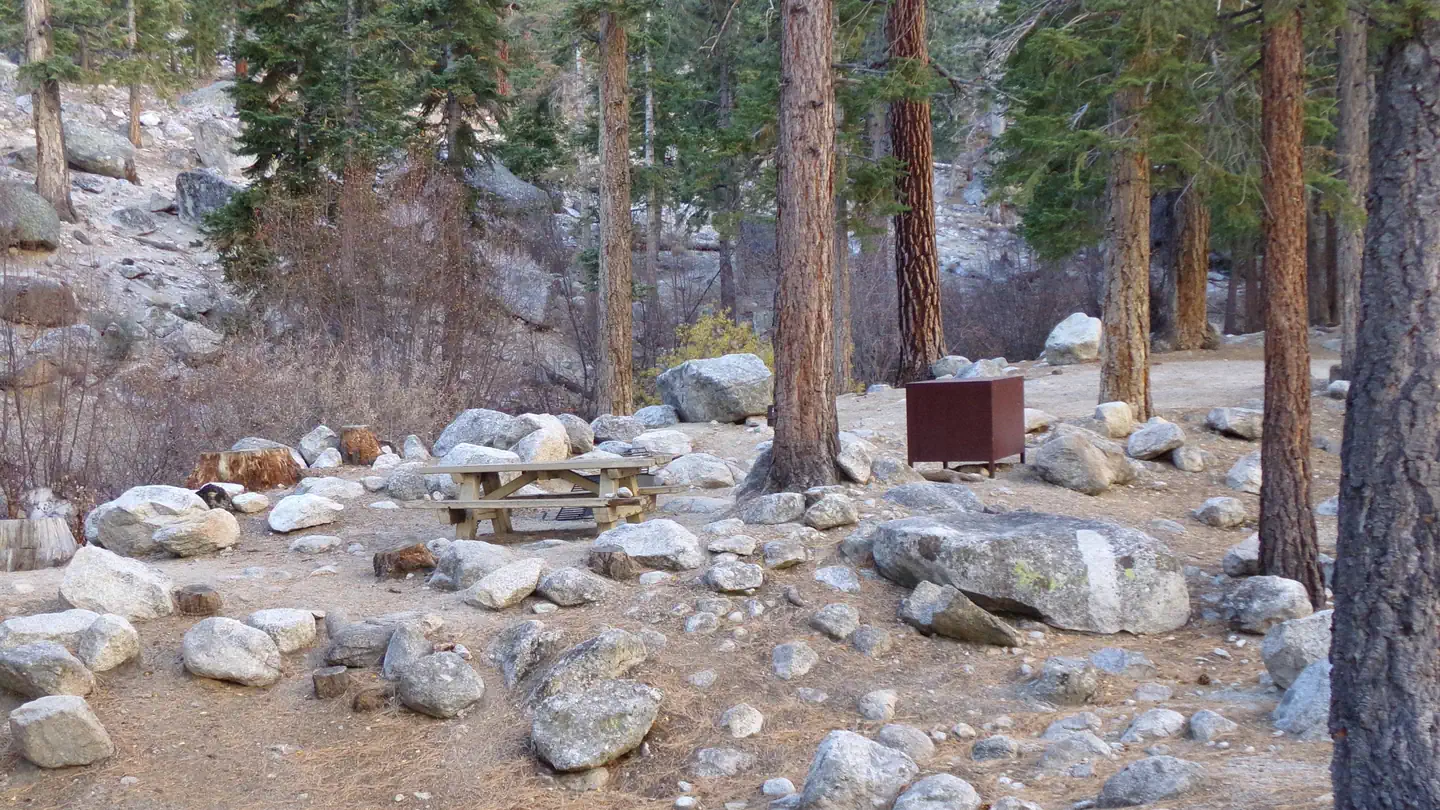
Site mix
| Standard, no hookups | 26 |
| Tent-only | 16 |
| Group tent areas | 3 |
| Walk-in | 1 |
| Host/management | 1 |
Site guide
Will my RV fit
The longest site here provides 35 feet of vehicle capacity. Most sites are shorter.
46 sites in 2 loops. Tap a filter to narrow the list; the map follows.
| Site | Loop | Type | Entry | Fits, ft | Surface | Shade | People / vehicles | Fires |
|---|---|---|---|---|---|---|---|---|
| G1 | PORT | Group tent | Paved | Full | 15 / 2 | Yes | ||
| G2 | PORT | Group tent | Paved | Full | 15 / 2 | Yes | ||
| G3 | PORT | Group tent | Paved | Full | 15 / 2 | Yes | ||
| 001 | WHIT | Standard | Back-in | 35 | Paved | Full | 6 / 1 | Yes |
| 002 | WHIT | Standard | Gravel | Full | 6 / 1 | Yes | ||
| 003 | WHIT | Standard | Back-in | 26 | Paved | Full | 6 / 1 | Yes |
| 004 | WHIT | Standard | Gravel | Full | 6 / 1 | Yes | ||
| 005 | WHIT | Tent only | Paved | Full | 6 / 1 | Yes | ||
| 006 | WHIT | Tent only | Gravel | Full | 6 / 1 | Yes | ||
| 007 | WHIT | Standard | Back-in | 30 | Paved | 6 / 1 | Yes |
Per-site records as published by the managing agency on Recreation.gov. Blank cells mean the agency listed nothing for that site. Check-in 2:00 PM, checkout 11:00 AM.
Amenities & rules
| Hookups | None |
| Max vehicle length | 35 ft |
| Equipment | RVs & trailers, Tents |
| Pets | Allowed |
| Campfires | Allowed, subject to restrictions |
The campground is adjacent to Whitney Creek and just down the road from Trailhead Campground. Numerous campsites are arranged on either side of the creek, including three group camping areas and several tent-only sites. Paved roads, vault toilets and drinking water are provided. Bears frequent the area, and campers are required to use the bear-proof food storage lockers provided in the facility (all supplies must fit; dimensions are 18 inches high, 18 inches deep and 50 inches long). Firewood is available for purchase on-site, and a small convenience store with showers is nearby.
Individual sites vary. Confirm on Recreation.gov or with the managing office.
Season & status
| Status | Closed for the season. Forest Service sites close for the season; check the official page for the reopening date. |
| Forest | Inyo National Forest |
| Booking | Reserve on-line at http://www.recreation.gov or call 1-877-444-6777 (International 518-885-3639 or TDD 877-833-6777) |
| Fees | $93.00 per night |
| Rules | Tents only. No sleeping in vehicles. No motorhomes, pop up van, campers, or sleeping trailers. Active bear area, bear boxes are provided and must be used (typical bear box size 48" x 30" x 36"). |
Weather by month
Getting there
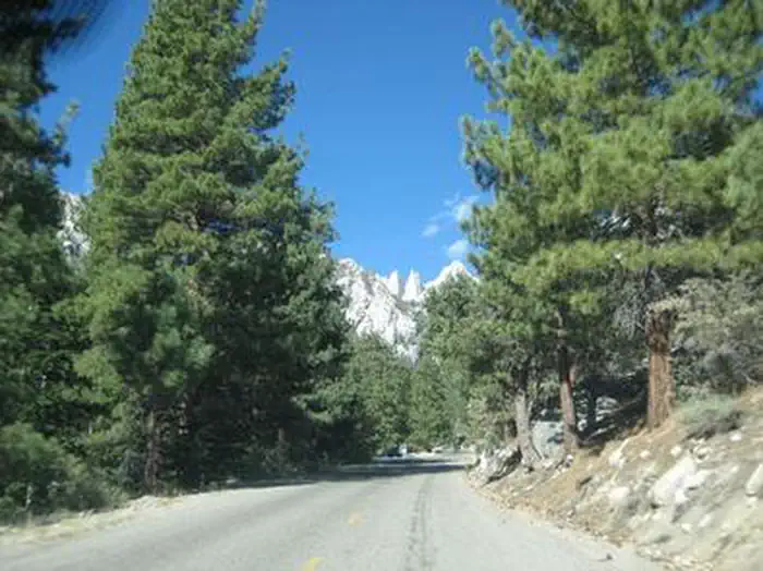
From U.S. Highway 395 in California, travel to the town of Lone Pine. The campground is 13 miles west of Lone Pine on Whitney Portal Road.
| Nearest town | Lone Pine, California |
| Coordinates | 36.5899° N, 118.2298° W · Directions ↗ |
Fire nearby
- WildfireLand
41 mi from the campground · 20 acres
- PrescribedGrant Grove Fall Rx
43 mi from the campground
- PrescribedGrant Grove Rx Spring
44 mi from the campground · 15 acres
Distance is to the reported incident point, not the fire edge. Call the managing office before you drive.
Supplies & services
| Dump station | Dump station ↗ | 6.1 mi |
| Outdoor gear | Big Willi Mountaineering Company ↗ | 9.3 mi |
Locations © OpenStreetMap contributors. Call ahead; hours change seasonally.
Explore
Video
Whitney Portal Campground Drive Thru | California | Site by Site Exploration
Worth a stop
Campers can enter the John Muir Wilderness, a land of lofty snow-capped mountains, deep canyons and vast expanses of glacially carved terrain, via nearby trails. Mt. Whitney is within the wilderness area and entry is available by lottery for experienced hikers. John Muir Wilderness
- 10.5 miManzanar Visitor Center ↗Visitor center
- 10.5 miBlock 14 ↗Visitor center
Trails nearby
- under 0.1 miMeysan Lakes ↗5.6 mi trail · hiking, horse, bike
- 0.6 miMount Whitney ↗8.7 mi trail · hiking, horse, bike
- 0.7 miWhitney Portal NRT ↗4.1 mi trail · hiking, horse, bike · national_recreation_or_other
- 0.9 miNorth Fork Lone Pine Creek3.9 mi trail · hiking, horse, bike
- 3.5 miTuttle Creek Ashram1 mi trail · hiking, horse, bike
Trailheads within three miles
- 0.6 miMt. Whitney Trailhead Campground ↗Inyo National Forest
Trail and trailhead records are the Forest Service's. Distances are straight-line to the nearer trail end. Trail conditions are not tracked here.
Public land it sits in
Sequoia-Kings Canyon Wilderness begins about 2.3 miles away, and it is the closest of these.
- 2.3 miSequoia-Kings Canyon Wilderness ↗Wilderness · National Park Service · 768,222 acres
- 2.3 miAlabama Hills National Scenic Area ↗National Scenic Area · Bureau of Land Management · 18,831 acres
- 7.5 miGolden Trout Wilderness ↗Wilderness · Forest Service · 303,713 acres
Each unit is published as a centre point and an acreage rather than a boundary, so this section stands it in for a circle of the same area. Whether a campground is inside, and how far it is from one it is outside, are both approximate.
Other campgrounds nearby


On the National Register nearby
- Smithsonian Institution ShelterBuilding · Lone Pine · 3.6 mi
- Inyo County CourthouseBuilding · Independence · 14.9 mi
Natural features
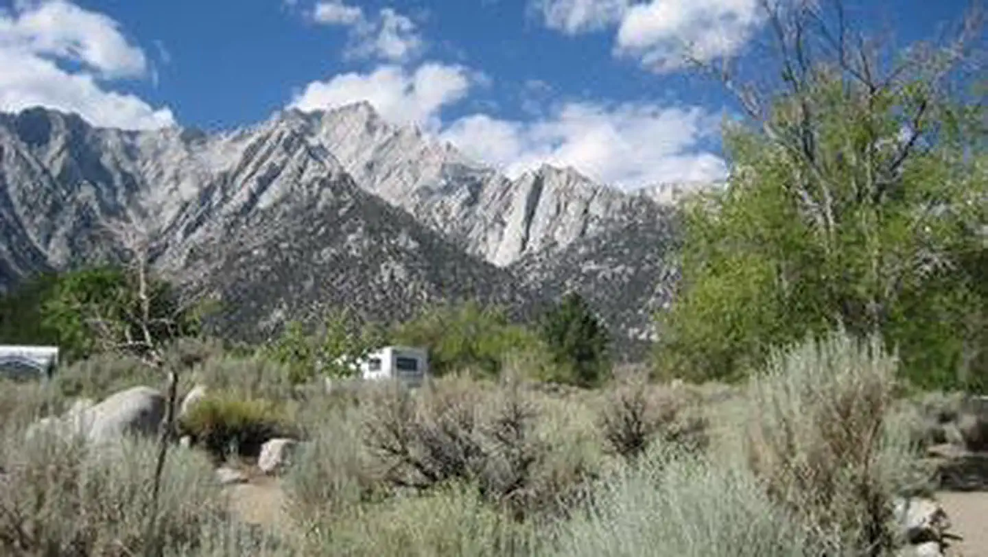
The facility is situated in a thick pine forest at an elevation of 8,000 ft. Campers can see striking views of the rugged granite peaks surrounding it. The area is home to abundant wildlife, including black bear, mountain lions, mule deer, pine martin, pika and many species of fish and birds. This campground is especially prone to bear activity.
Recreation
Hikers are drawn to the majestic scenery and challenging trails of the Whitney Portal recreation area. Nearby trails lead into the John Muir Wilderness and Sequoia and Kings Canyon National Park. The campground is only 0.5 miles from trailheads to Mt. Whitney, Meysan Lake and other popular destinations. Visitors should be aware that hiking in this area may require a permit. Visitors can also hike, fish and picnic in the area around the campground. There are numerous lakes, streams and a small pond in the area for trout fishing.
Guidebooks for Inyo National Forest and California
We earn a small commission if you buy through these links. It does not change what we list.

Titles come from Open Library's catalog, matched by subject heading or by title.
Reference
Questions people ask
Do I need a reservation at Whitney Portal?
Sites at Whitney Portal are reservable on Recreation.gov. Reserve on-line at http://www.recreation.gov or call 1-877-444-6777 (International 518-885-3639 or TDD 877-833-6777) Any walk-up sites are listed on the booking page.
Source: Recreation.gov
How much does it cost to camp at Whitney Portal?
$93.00 per night
Source: Recreation.gov
What time is check-in at Whitney Portal?
Check-in 2:00 PM, checkout 11:00 AM.
Source: Recreation.gov
Is Whitney Portal open right now?
Closed for the season as of Oct 16, 2026.
Source: Forest Service status
How many sites does Whitney Portal have?
47 sites, including 26 standard sites without power, 16 tent-only sites, 3 group tent areas, and 1 walk-in site.
Source: Recreation.gov
Will my RV fit at Whitney Portal?
The longest site here provides 35 feet of vehicle capacity. Most sites are shorter. The sidebar tool checks a trailer or motorhome length against every site.
Source: Will my RV fit
Are there showers or a dump station at Whitney Portal?
Firewood is available for purchase on-site, and a small convenience store with showers is nearby.
Source: Recreation.gov
Are pets allowed at Whitney Portal?
Yes, pets are allowed at Whitney Portal. Leash rules apply.
Source: Recreation.gov
Can I have a campfire at Whitney Portal?
Fires are allowed in the provided rings under normal conditions. As of 2026-10-16, there are 3 active fires within 50 miles, so check current restrictions before you light one. Tents only.
Source: Fire nearby
What is there to do at Whitney Portal?
Hikers are drawn to the majestic scenery and challenging trails of the Whitney Portal recreation area. The Recreation section on this page has the rest.
Source: Recreation
What is the nearest town to Whitney Portal?
Lone Pine, California. Campers can enter the John Muir Wilderness, a land of lofty snow-capped mountains, deep canyons and vast expanses of glacially carved terrain, via nearby trails.
Source: Getting there
What if Whitney Portal is full?
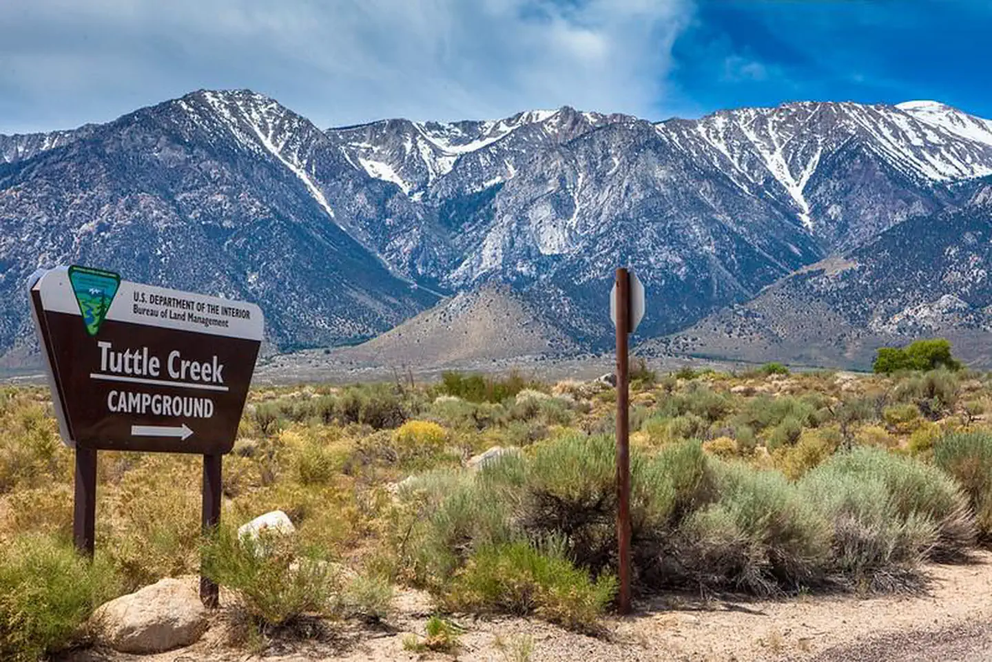
The nearest public campgrounds are Mt. Whitney Trailhead Campground (0.6 mi, first-come), Lone Pine (2.6 mi), and Tuttle Creek Campground (6 mi, first-come).
Source: Campgrounds nearby