Terraces Campground - Picnic Area
Terraces Overnight Group Area is a popular location for weddings, church activities, family reunions and company picnics. It is located in scenic Lamoille Canyon, 35 miles southeast of Elko, Nevada. Visitors enjoy fishing in Lamoille Creek and hiking on many local trails.
More like this: reservable in Nevada · tent only in Nevada · pets allowed in Nevada · group sites in Nevada
Check availability on Recreation.gov ↗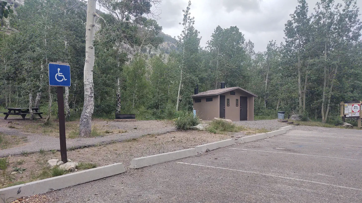
Site mix
| Group tent areas | 1 |
Site guide
1 site. Tap a filter to narrow the list; the map follows.
| Site | Surface | Shade | People / vehicles | Fires |
|---|---|---|---|---|
| 1 | Paved | Full | 75 / 17 | Yes |
Per-site records as published by the managing agency on Recreation.gov. Blank cells mean the agency listed nothing for that site. Check-in 2:00 PM, checkout 12:00 PM.
Amenities & rules
| Equipment | Tents |
| Pets | Allowed |
| Campfires | Allowed, subject to restrictions |
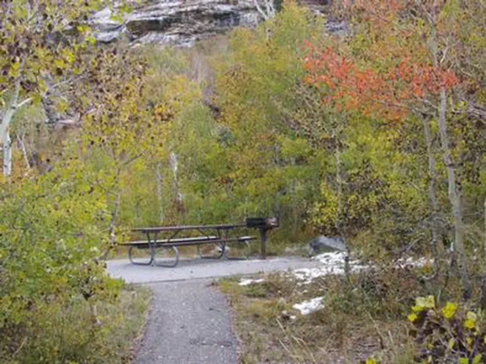
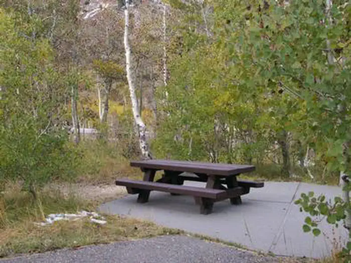
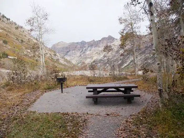
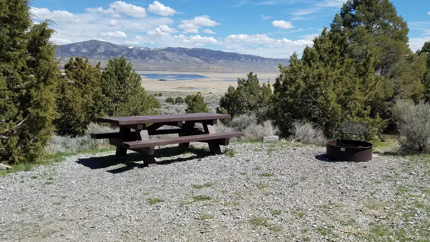
This site is a group overnight tent camping area that can accommodate up to 75 people throughout its nine individual family picnic sites or the facility can be reserved as a whole. If not reserved, the individual sites can be used on a first-come, first-serve basis for day use picnics. Sites are equipped with picnic tables and grills. Vault toilets, drinking water and trash collection are provided. A large paved parking area can accommodate up to 17 vehicles. Footpaths within the site are also paved.
Individual sites vary. Confirm on Recreation.gov or with the managing office.
Weather by month
Getting there
Take Interstate 80 to any Elko exit and head south to Idaho Street. Turn south on 12th Street (from the east) or on 5th Street (from the west), to State Route 227. Travel 25 miles on SR 227 to Forest Road 660 (Lamoille Canyon Scenic Byway). Travel 10 miles on FR 660 to the picnic area.
| Nearest town | Wells, Nevada |
| Coordinates | 40.6319° N, 115.3678° W · Directions ↗ |
Explore
Worth a stop
Ruby Crest National Recreation Trail
- 0.1 mi
- 1.9 miRoads End Trailhead ↗Trailhead
- 10.3 miSoldier Basin Trailhead ↗Trailhead
Trails nearby
- 1 miLamoille Canyon Interpretive0.5 mi trail · hiking, horse, bike
- 1.4 miIsland Lake1.8 mi trail · hiking, horse, bike
- 1.5 miTalbot Creek ↗5.2 mi trail · hiking, horse, bike
- 2 miRoads End Creek0.1 mi trail · hiking, horse, bike
- 2 miLamoille Stock1.6 mi trail · hiking, horse, bike
- 2 miRuby Crest National Recreation ↗28.2 mi trail · hiking, horse · national_recreation_or_other
Trailheads within three miles
- 1.9 miRoads End Trailhead ↗Humboldt-Toiyabe National Forest · Season July to November
Trail and trailhead records are the Forest Service's. Distances are straight-line to the nearer trail end. Trail conditions are not tracked here.
Public land it sits in
This campground sits inside Ruby Mountains Wilderness.
- inRuby Mountains Wilderness ↗Wilderness · Forest Service · 92,652 acres
Each unit is published as a centre point and an acreage rather than a boundary, so this section stands it in for a circle of the same area. Whether a campground is inside, and how far it is from one it is outside, are both approximate.
Other campgrounds nearby
Natural features
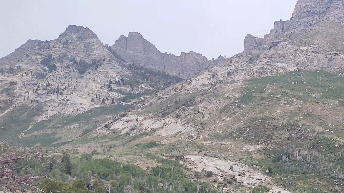
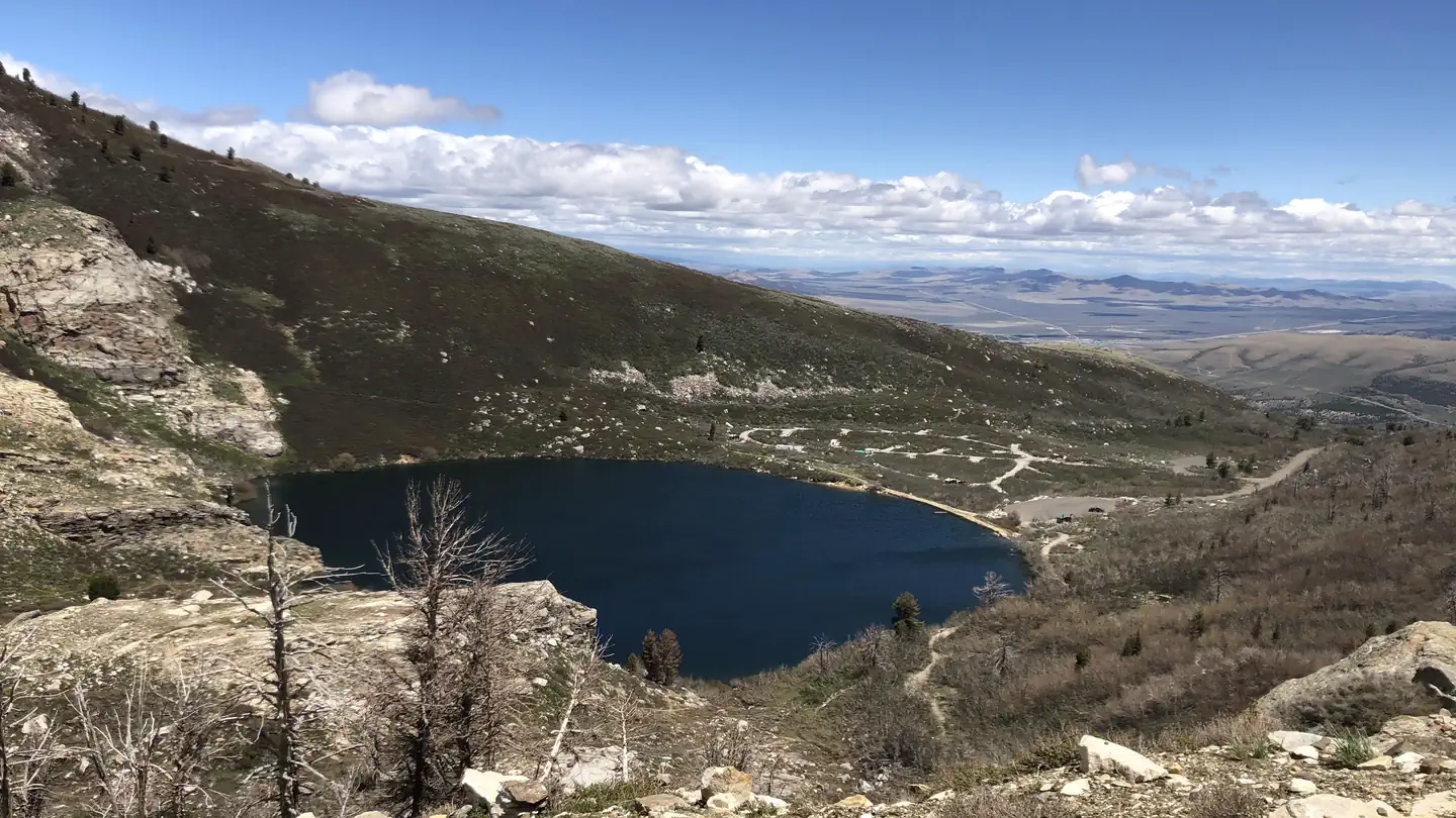
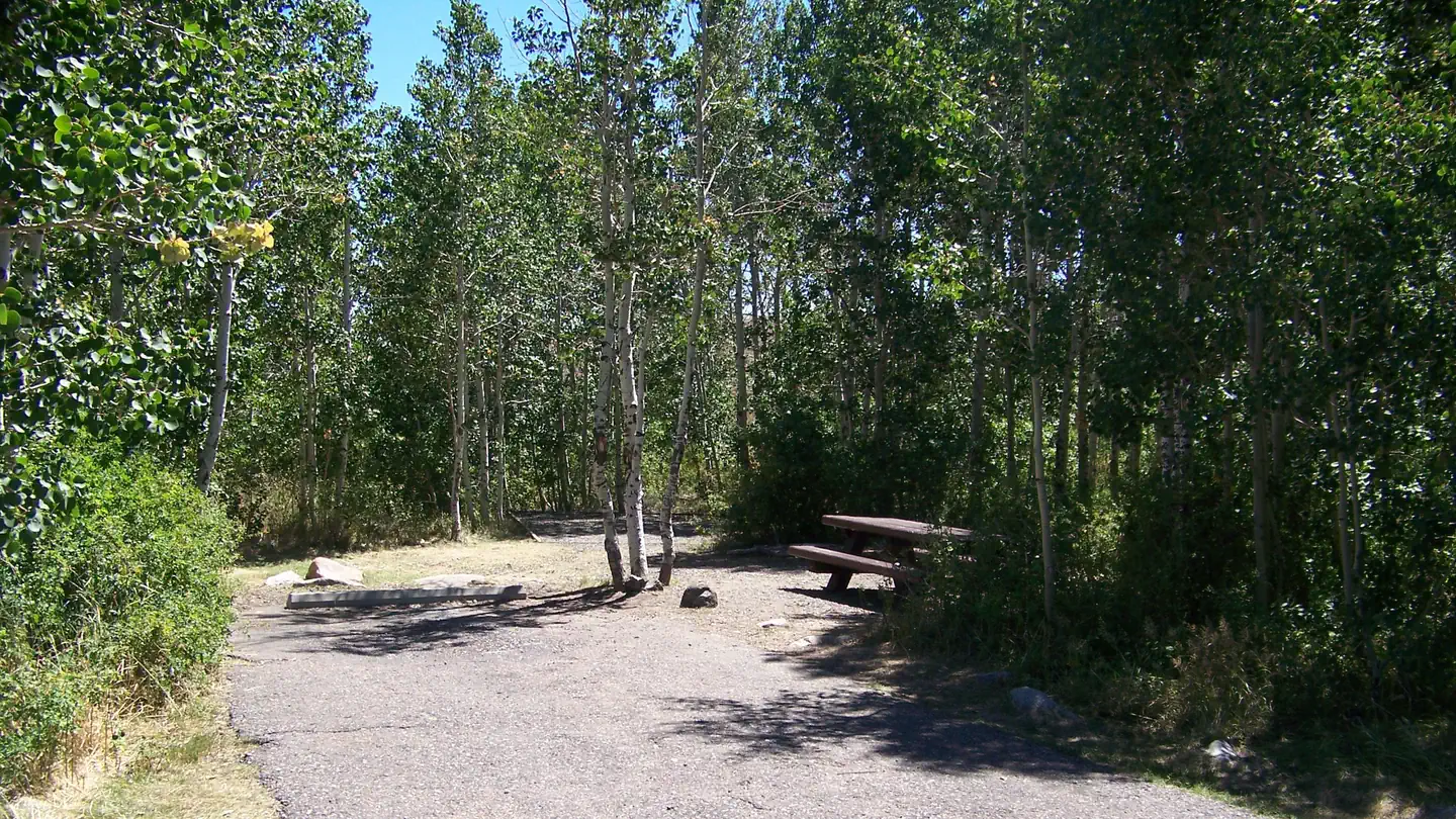
The campground is situated at an elevation of 8,000 feet, high in Lamoille Canyon, within the beautiful Ruby Mountains. The area is a desert island brimming with wildlife, sparkling lakes and streams, wildflower-filled meadows and jagged peaks. A dense stand of aspens covers the picnic area, offering partial shade and pretty fall colors. Most sites afford breathtaking views of the surrounding peaks and canyon walls.
Recreation
Lamoille Creek runs just outside the picnic area and is a popular stream among fly-fishermen. The creek contains brook and wild rainbow trout. Lamoille Canyon offers numerous hiking and horseback riding trails that lead to alpine lakes and vistas. The canyon road is popular for scenic driving and road biking.
Guidebooks for Nevada
We earn a small commission if you buy through these links. It does not change what we list.
- Best Backpacking Trips in California and NevadaMike White and Douglas Lorain, 2015Find at Bookshop.org
Titles come from Open Library's catalog, matched by subject heading or by title.
Reference
Questions people ask
Do I need a reservation at Terraces Campground - Picnic Area?
Sites at Terraces Campground - Picnic Area are reservable on Recreation.gov. Any walk-up sites are listed on the booking page.
Source: Recreation.gov
What time is check-in at Terraces Campground - Picnic Area?
Check-in 2:00 PM, checkout 12:00 PM.
Source: Recreation.gov
How many sites does Terraces Campground - Picnic Area have?
1 site, including 1 group tent area.
Source: Recreation.gov
Can I bring an RV to Terraces Campground - Picnic Area?
Terraces Campground - Picnic Area is listed for tents only.
Source: Recreation.gov
Are pets allowed at Terraces Campground - Picnic Area?
Yes, pets are allowed at Terraces Campground - Picnic Area. Leash rules apply.
Source: Recreation.gov
Can I have a campfire at Terraces Campground - Picnic Area?
Fires are allowed in the provided rings under normal conditions.
Source: Recreation.gov
What is there to do at Terraces Campground - Picnic Area?
Lamoille Creek runs just outside the picnic area and is a popular stream among fly-fishermen. The Recreation section on this page has the rest.
Source: Recreation
What is the nearest town to Terraces Campground - Picnic Area?
Wells, Nevada. Ruby Crest National Recreation Trail
Source: Getting there
What if Terraces Campground - Picnic Area is full?
The nearest public campgrounds are Thomas Canyon (2.3 mi), Angel Lake (31.2 mi), and Angel Creek (32.2 mi).
Source: Campgrounds nearby