Panorama Point Campground
Panorama Point campground is located on the western shore of Baker Lake in the stunning Mt. Baker-Snoqualmie National Forest. Situated on the west side of the Cascades in Washington, the surrounding area is one of the most spectacular in the country, showcasing glacier-covered peaks, wide mountain meadows and old-growth forests, rich in history and outdoor opportunities.
More like this: reservable in Washington · big rigs in Washington · pets allowed in Washington
Check availability on Recreation.gov ↗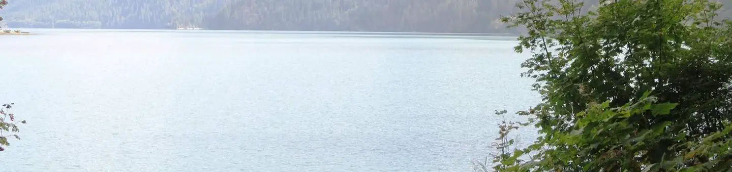


Site mix
| Standard, no hookups | 14 |
| Host/management | 8 |
Site guide
14 sites. Tap a filter to narrow the list; the map follows.
| Site | Entry | Fits, ft | Surface | Shade | Waterfront | People / vehicles | Fires | Rating |
|---|---|---|---|---|---|---|---|---|
| 001 | Back-in | Gravel | Full | 6 / 1 | Yes | Standard | ||
| 002 | Back-in | 30 | Gravel | 6 / 1 | Yes | Standard | ||
| 004 | Back-in | Gravel | Full | 6 / 1 | Yes | Standard | ||
| 005 | Back-in | Gravel | Full | 6 / 1 | Yes | Standard | ||
| 006 | Back-in | 30 | Gravel | 12 / 2 | Yes | Standard | ||
| 007 | Back-in | Gravel | Full | 6 / 1 | Yes | Standard | ||
| 008 | Back-in | 52 | Gravel | Full | 6 / 1 | Yes | Standard | |
| 009 | Back-in | 20 | Gravel | 6 / 1 | Yes | Standard | ||
| 010 | Back-in | Gravel | Full | 6 / 1 | Yes | Standard | ||
| 011 | Back-in | Gravel | Full | Lakefront | 6 / 1 | Yes | Standard |
Per-site records as published by the managing agency on Recreation.gov. Blank cells mean the agency listed nothing for that site. Check-in 2:00 PM, checkout 12:00 PM.
Amenities & rules
| Hookups | None |
| Max vehicle length | 52 ft |
| Equipment | RVs & trailers, Tents |
| Pets | Allowed |
| Campfires | Allowed, subject to restrictions |
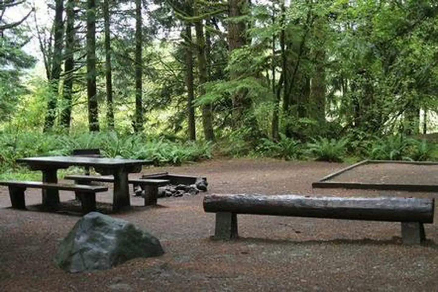
With several sites located at the lake's edge and others in close vicinity, Panorama Point Campground offers visitors the ideal opportunity to camp near shoreline or under a canopy of trees. Panorama Point offers nine standard sites, accommodating both tent and RV camping. Picnic tables and vault toilets are also available.
Individual sites vary. Confirm on Recreation.gov or with the managing office.
Season & status
| Status | Closed for the season. Forest Service sites close for the season; check the official page for the reopening date. |
| Forest | Mt. Baker-Snoqualmie National Forest |
| Fees | View Recreation.gov for Fee Information and for open season dates. |
| Rules | During Sockeye fishing season boat launch ramp use is extremely heavy. |
Weather by month
Getting there
From Seattle, go north on I-5 to Burlington. Take Exit 230 on State Highway 20. Go past the Mt. Baker Ranger District Office in Sedro-Woolley and follow State Route 20 east for 16 miles to milepost 82. Turn left (north) on the Baker Lake Highway (Forest Service Road 11). Continue for 19.2 miles on the Baker Lake Highway.
| Coordinates | 48.7242° N, 121.6727° W · Directions ↗ |
Fire nearby
- WildfireLuna
22 mi from the campground · 8,553 acres · 42% contained
- WildfireBorder 2
35 mi from the campground · 9,108 acres · 74% contained
- WildfireSisi
47 mi from the campground · 4,615 acres · 34% contained
Distance is to the reported incident point, not the fire edge. Call the managing office before you drive.
Supplies & services
| Dump station | Dump station ↗ | 16.9 mi |
| Outdoor gear | Mt. Waddington's Outdoors ↗ | 29.4 mi |
| RV sales & service | Cottonwood RV Sales and Service ↗ | 32.4 mi |
Locations © OpenStreetMap contributors. Call ahead; hours change seasonally.
Explore
Video
Panorama Point Campground, Mt. Baker-Snoqualmie National Forest, Washington Campsite Photo
Worth a stop
Hike in the mountains above the lake in the Mt. Baker National Recreation Area or Mt. Baker Wilderness, or take some time to visit North Cascades National Park. This unique park is like no other place on earth. It features a deep blue lake surrounded by sheer, 2,000' cliffs, two picturesque islands and a violent volcanic past. Hiking trails, a visitor center and educational programs are available.
- 4.3 miWatson Lakes Trailhead ↗Trailhead
- 5.6 miBaker River Trailhead ↗Trailhead
Trails nearby
- 1 miBoulder Ridge X-Country Ski ↗4.7 mi trail · snowshoe, ski
- 1 miRainbow Falls Loop X-Country ↗10.3 mi trail · snowshoe, ski
- 1.9 miBoulder Ridge3.6 mi trail · hiking
- 2.6 miBaker Hot Springs0.3 mi trail · hiking
- 2.7 miMaple Grove0.3 mi trail · hiking, horse
- 2.7 miMartin Lake X-Country Ski 11304 mi trail · snowshoe, ski
Trailheads within three miles
- 1.9 miBoulder Ridge Trailhead ↗Mt. Baker-Snoqualmie National Forest
- 2.8 miSwift Creek Trailhead ↗Mt. Baker-Snoqualmie National Forest
Trail and trailhead records are the Forest Service's. Distances are straight-line to the nearer trail end. Trail conditions are not tracked here.
Public land it sits in
Mount Baker Wilderness begins about 1.3 miles away, and it is the closest of these.
- 1.3 miMount Baker Wilderness ↗Wilderness · Forest Service · 119,966 acres
- 5.8 miNoisy-Diobsud Wilderness ↗Wilderness · Forest Service · 14,266 acres
- 6.4 miStephen Mather Wilderness ↗Wilderness · National Park Service · 638,173 acres
Each unit is published as a centre point and an acreage rather than a boundary, so this section stands it in for a circle of the same area. Whether a campground is inside, and how far it is from one it is outside, are both approximate.
Other campgrounds nearby

On the National Register nearby
- Koma Kulshan Ranger StationBuilding · Concrete · 4.7 mi
- Park Butte LookoutStructure · Sedro Wooley · 8.4 mi
- Austin Pass Warming HutBuilding · Glacier · 9 mi
Natural features
On a clear day, while driving to the campground, visitors will see Mt. Baker, the most prominent feature of the Mt. Baker Wilderness. Rising to an elevation of 10,781 feet, the active volcano from which the forest takes its name is perpetually snow-capped and mantled with an extensive network of creeping glaciers. Mt. Baker's summit, Grant Peak, is actually a 1,300-foot-deep mound of ice, which hides a massive volcanic crater.
Recreation
In addition to being a prime location for boating, fishing, swimming, and picnicking, hikers and backpackers are especially fortunate to have access to a variety of spectacular trails along the lake and in the nearby Mt. Baker National Recreation Area. The Baker Lake and Baker River Trails are family friendly hikes that are a short drive from the campground. The Baker Lake trail starts on the south end of the lake in a stand of Douglas fir and travels 13 miles above the eastern shoreline of Baker Lake. Anderson Point with views of Mt. Baker and Mt. Shuksan is 2.5 miles from the trailheadand is a popular boat in camp, backpacking destination and lunch spot. The Baker River Trail starts at the north end of the lake and follows the river 2.25 miles upstream, through large old-growth into North Cascades National Park.
Guidebooks for Washington
We earn a small commission if you buy through these links. It does not change what we list.
Titles come from Open Library's catalog, matched by subject heading or by title.
Reference
Questions people ask
Do I need a reservation at Panorama Point Campground?
Sites at Panorama Point Campground are reservable on Recreation.gov. Any walk-up sites are listed on the booking page.
Source: Recreation.gov
How much does it cost to camp at Panorama Point Campground?
View Recreation.gov for Fee Information and for open season dates.
Source: Recreation.gov
What time is check-in at Panorama Point Campground?
Check-in 2:00 PM, checkout 12:00 PM.
Source: Recreation.gov
Is Panorama Point Campground open right now?
Closed for the season as of Oct 16, 2026.
Source: Forest Service status
How many sites does Panorama Point Campground have?
22 sites, including 14 standard sites without power.
Source: Recreation.gov
Will my RV fit at Panorama Point Campground?
The longest site here provides 52 feet of vehicle capacity. Most sites are shorter. The sidebar tool checks a trailer or motorhome length against every site.
Source: Will my RV fit
Are pets allowed at Panorama Point Campground?
Yes, pets are allowed at Panorama Point Campground. Leash rules apply.
Source: Recreation.gov
Can I have a campfire at Panorama Point Campground?
Fires are allowed in the provided rings under normal conditions. As of 2026-10-16, there are 3 active fires within 50 miles, so check current restrictions before you light one. During Sockeye fishing season boat launch ramp use is extremely heavy.
Source: Fire nearby
What is there to do at Panorama Point Campground?
In addition to being a prime location for boating, fishing, swimming, and picnicking, hikers and backpackers are especially fortunate to have access to a variety of spectacular trails along the lake and in the nearby Mt. The Recreation section on this page has the rest.
Source: Recreation
What if Panorama Point Campground is full?
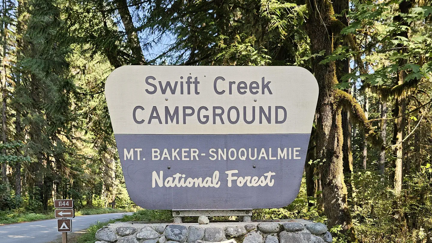
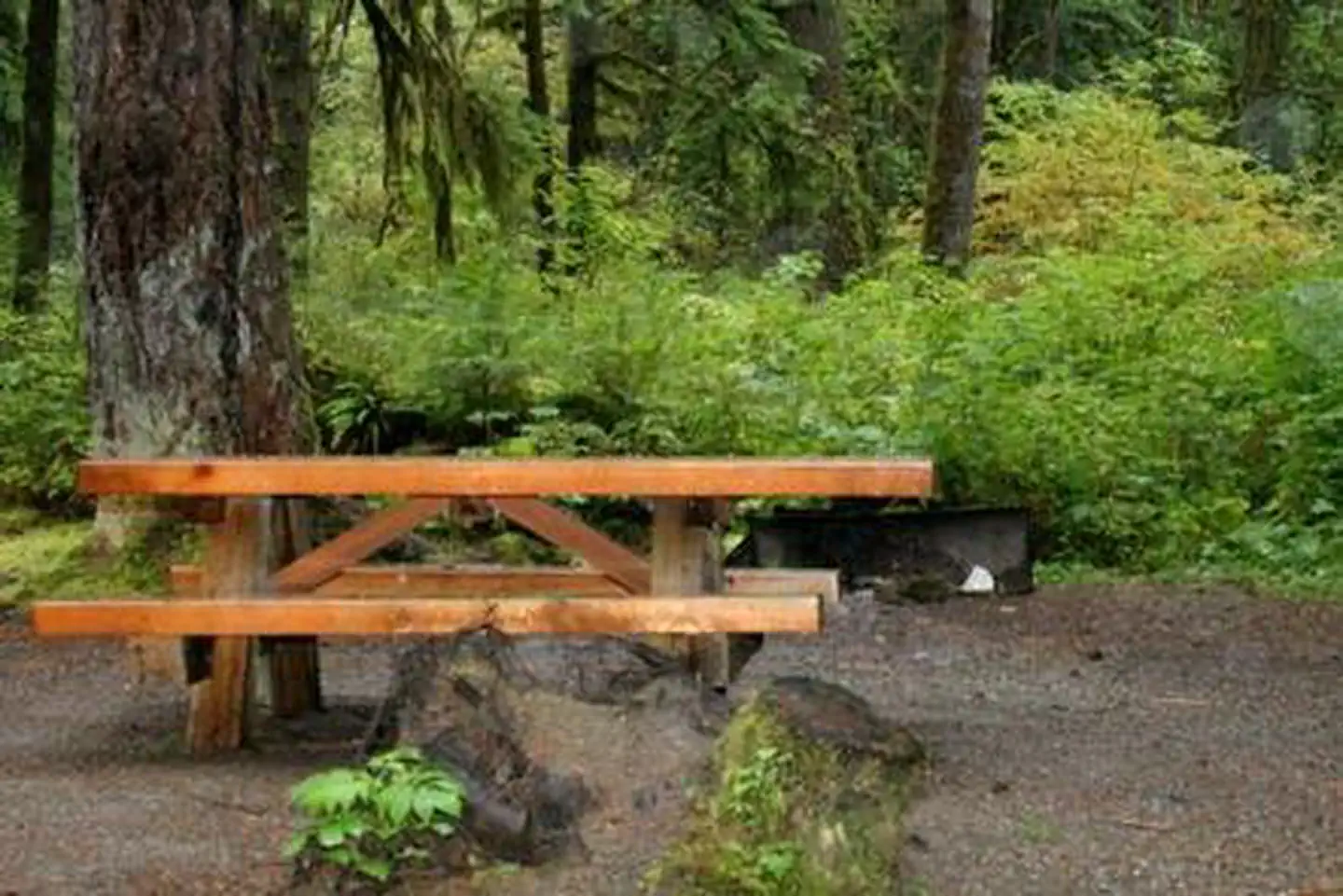
The nearest public campgrounds are Swift Creek Campground (0.7 mi), Park Creek Campground (0.8 mi), and Boulder Creek Campground (1.2 mi).
Source: Campgrounds nearby