Paha
Paha Campground is located just 10 miles from Bridgeport, California, next to Robinson Creek at an elevation of 7,000 feet. The Twin Lakes area is close by, offering boating, fishing, hiking and horseback riding opportunities. Reservations are non-transferable. Re-selling of reservations will render the reservation invalid. If you hold an invalid reservation, you will not be permitted to camp on the site.
More like this: reservable in California · big rigs in California · pets allowed in California
Check availability on Recreation.gov ↗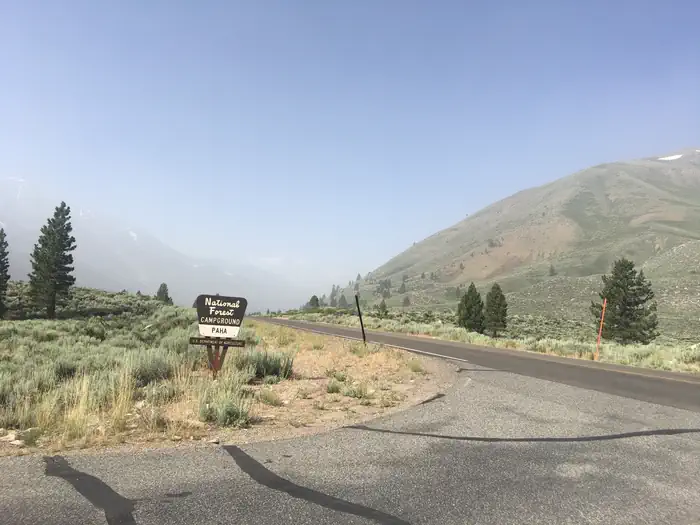
Site mix
| Standard, no hookups | 20 |
| Yurts | 1 |
| Host/management | 1 |
Site guide
Will my RV fit
The longest site here provides 45 feet of vehicle capacity. Most sites are shorter.
21 sites. Tap a filter to narrow the list; the map follows.
| Site | Type | Entry | Fits, ft | Surface | Shade | Water / sewer | People / vehicles | Fires | Accessible |
|---|---|---|---|---|---|---|---|---|---|
| 002 | Standard | Back-in | 26 | Paved | 12 / 2 | ||||
| 004 | Standard | Back-in | 26 | Paved | Full | 12 / 2 | |||
| 001 | Standard | Back-in | 25 | Paved | 6 / 1 | ||||
| 003 | Standard | Back-in | 32 | Paved | Partial | 6 / 1 | |||
| 005 | Standard | Back-in | 30 | Paved | Full | 6 / 1 | |||
| 006 | Standard | Back-in | 30 | Paved | Full | 6 / 1 | |||
| 007 | Yurt | Back-in | Paved | Full | 5 / 2 | ||||
| 008 | Standard | Back-in | 45 | Paved | Full | 6 / 1 | Yes | ||
| 009 | Standard | Back-in | 25 | Paved | Full | 6 / 1 | |||
| 010 | Standard | Back-in | 25 | Paved | Full | 6 / 1 |
Per-site records as published by the managing agency on Recreation.gov. Blank cells mean the agency listed nothing for that site. Check-in 2:00 PM, checkout 12:00 PM.
Amenities & rules
| Hookups | None |
| Max vehicle length | 45 ft |
| Equipment | RVs & trailers, Tents |
| Pets | Allowed |
| Campfires | Allowed, subject to restrictions |
| Fees | Camping fees for single sites include one vehicle. (Double sites and yurt include 2 vehicles). Extra vehicle fee of $6 per vehicle per night is due at the kiosk in the campground. Extra vehicle parking is limited. Vehicles must fit on asphalt pad of campsite. |
| Accessibility | Site 008 is listed accessible |
The campground contains several single-family sites, one of which is ADA accessible, and there are two double sites and one furnished yurt. All sites are equipped with picnic tables, food storage lockers and campfire rings with grills. Flush toilets, drinking water and trash collection are provided. Firewood is available for purchase. Robinson Creek South Campground is nearby, where educational programs are held at its amphitheater on weekends from July 4 through Labor Day.
Individual sites vary. Confirm on Recreation.gov or with the managing office.
Season & status
| Season | Mid-May to Mid-September |
| Forest | Humboldt-Toiyabe National Forest |
| Booking | Reservations are required for campsites at https://www.recreation.gov/camping/campgrounds/232079 or by calling Toll Free 1-877-444-6777 (International 606-515-6777 or TDD 877-833-6777). |
| Fees | Per Day: $32 Single/$50 Double/$6 Extra Vehicle. |
| Rules | California camp fire permit required ( https://www.fs.usda.gov/detail/htnf/passes-permits/?cid=fseprd673196 ). Bears frequent the area, so proper safe food storage is recommended. Dog must be on a leash at campground. |
Weather by month
Getting there
Take U.S. Highway 395 through Bridgeport. Turn south on Twin Lakes Road at the Shell gas station. Travel 9.6 miles on Twin Lakes Road. Turn left into the campground.
| Coordinates | 38.1792° N, 119.3250° W · Directions ↗ |
Fire nearby
- WildfireDome
45 mi from the campground · 6,788 acres · 95% contained
Distance is to the reported incident point, not the fire edge. Call the managing office before you drive.
Supplies & services
| Dump station | Dump station ↗ | 19.8 mi |
| Outdoor gear | Mountain Shop & Mountaineering School ↗ | 33.3 mi |
Locations © OpenStreetMap contributors. Call ahead; hours change seasonally.
Explore
Video
Paha Campground
Worth a stop
Upper and Lower Twin Lakes are nearby, offering beautiful mountain scenery, boating, canoeing and fishing for Kokanee salmon and rainbow and brown trout. The rugged and scenic Hoover Wilderness Area can be accessed from the Twin Lakes area and offers additional trails for hiking and horseback riding.
- 5.6 miGreen Creek Trailhead ↗Trailhead
Trails nearby
- 0.5 miTwin ATV Connector1.3 mi trail · hiking, horse, bike, e-bike
- 0.7 miTamarack4.2 mi trail · hiking, horse, bike
- 2.1 miHorse-Cattle Creek ↗5.4 mi trail · hiking, horse, bike
- 2.4 miSawmill Ridge Route ↗4.8 mi trail · hiking, horse, bike
- 3.8 miRobinson Creek ↗9 mi trail · hiking, horse
- 3.8 miCattle Creek Route1.7 mi trail · hiking, horse
Trail and trailhead records are the Forest Service's. Distances are straight-line to the nearer trail end. Trail conditions are not tracked here.
Public land it sits in
This campground sits inside Hoover Wilderness.
- inHoover Wilderness ↗Wilderness · Forest Service · 128,044 acres
- 6.7 miYosemite Wilderness ↗Wilderness · National Park Service · 704,624 acres
- 14.4 miStanislaus National Forest ↗National Forest · Forest Service · 1,090,354 acres
Each unit is published as a centre point and an acreage rather than a boundary, so this section stands it in for a circle of the same area. Whether a campground is inside, and how far it is from one it is outside, are both approximate.
Other campgrounds nearby
Historic landmarks nearby

Natural features
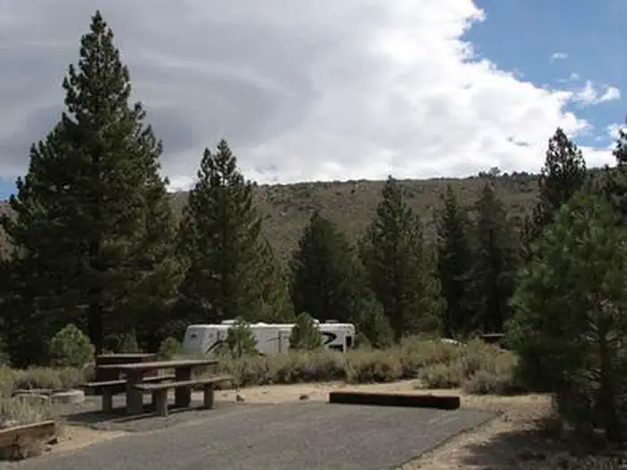
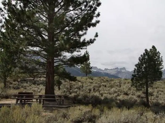
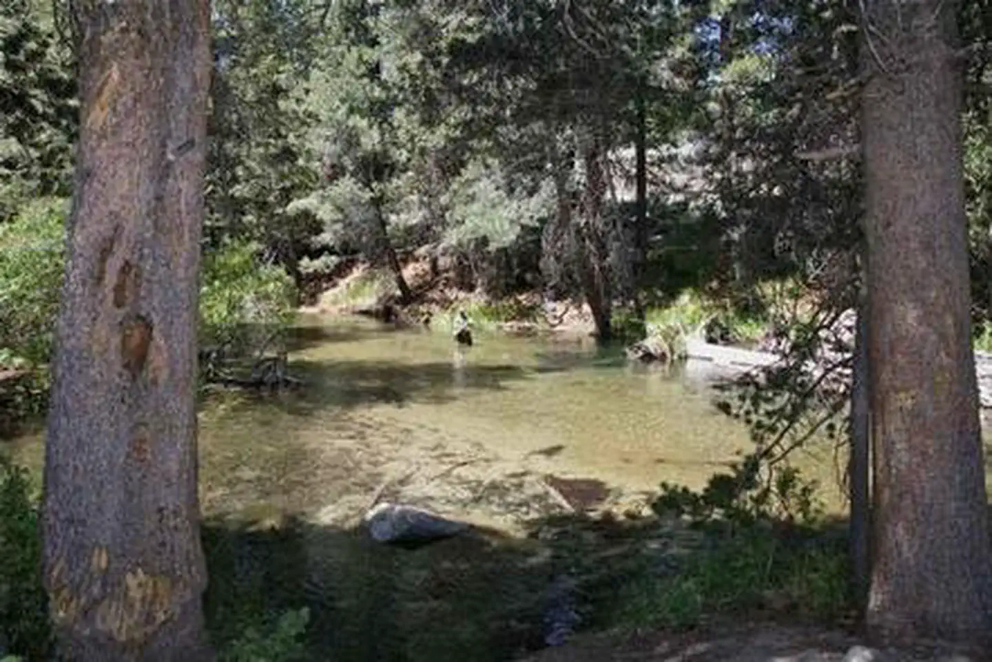
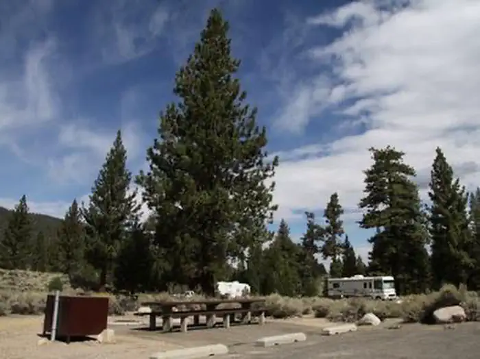
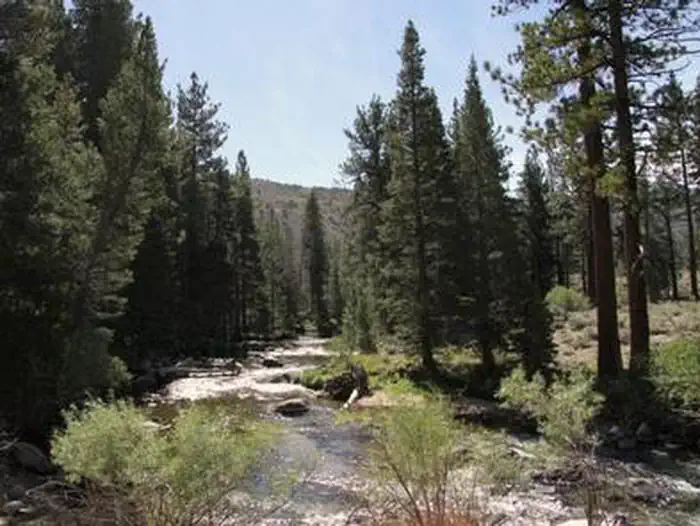
The campground is situated alongside Robinson Creek, where a forest of massive Jeffrey pines towers over the site, offering partial shade. Lodgepole pines, sagebrush and summer wildflowers dot the landscape.
Recreation
Robinson Creek offers good rainbow trout fishing and can be easily accessed from within the campground. Numerous hiking trails are in the vicinity, including the popular Robinson Creek Trail.
Guidebooks for California
We earn a small commission if you buy through these links. It does not change what we list.

Titles come from Open Library's catalog, matched by subject heading or by title.
Reference
Questions people ask
Do I need a reservation at Paha?
Sites at Paha are reservable on Recreation.gov. Reservations are required for campsites at https://www.recreation.gov/camping/campgrounds/232079 or by calling Toll Free 1-877-444-6777 (International 606-515-6777 or TDD 877-833-6777). Any walk-up sites are listed on the booking page.
Source: Recreation.gov
How much does it cost to camp at Paha?
Camping fees for single sites include one vehicle. (Double sites and yurt include 2 vehicles). Extra vehicle fee of $6 per vehicle per night is due at the kiosk in the campground.
Source: Recreation.gov
What time is check-in at Paha?
Check-in 2:00 PM, checkout 12:00 PM.
Source: Recreation.gov
How many sites does Paha have?
22 sites, including 20 standard sites without power and 1 yurt.
Source: Recreation.gov
Will my RV fit at Paha?
The longest site here provides 45 feet of vehicle capacity. Most sites are shorter. The sidebar tool checks a trailer or motorhome length against every site.
Source: Will my RV fit
Are there showers or a dump station at Paha?
Flush toilets, drinking water and trash collection are provided.
Source: Recreation.gov
Are pets allowed at Paha?
Yes, pets are allowed at Paha. Leash rules apply.
Source: Recreation.gov
Can I have a campfire at Paha?
Fires are allowed in the provided rings under normal conditions. As of 2026-10-16, there is 1 active fire within 50 miles, so check current restrictions before you light one. California camp fire permit required ( https://www.fs.usda.gov/detail/htnf/passes-permits/?cid=fseprd673196 ).
Source: Fire nearby
Are there accessible sites at Paha?
Site 008 is listed accessible on Recreation.gov. What that covers (a paved pad, an accessible table, a nearby accessible restroom) is on each site's booking page.
Source: Recreation.gov
What is there to do at Paha?
Robinson Creek offers good rainbow trout fishing and can be easily accessed from within the campground. The Recreation section on this page has the rest.
Source: Recreation
What if Paha is full?
The nearest public campgrounds are Lower Twin Lakes At Bridgeport (0.6 mi), Robinson Creek North (0.6 mi), and Robinson Creek South (0.6 mi).
Source: Campgrounds nearby