Excelsior Group Camp
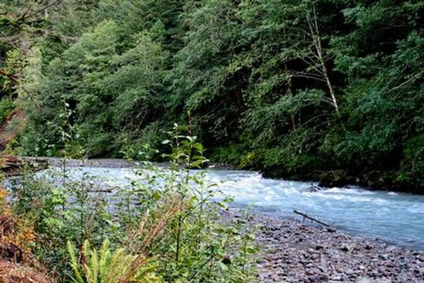
Located near the rushing Nooksack River in Mt. Baker-Snoqualmie National Forest, Excelsior Group Camp offers access to numerous recreational activities popular in the north Cascades Mountains in Washington state.
More like this: reservable in Washington · pets allowed in Washington · group sites in Washington
Check availability on Recreation.gov ↗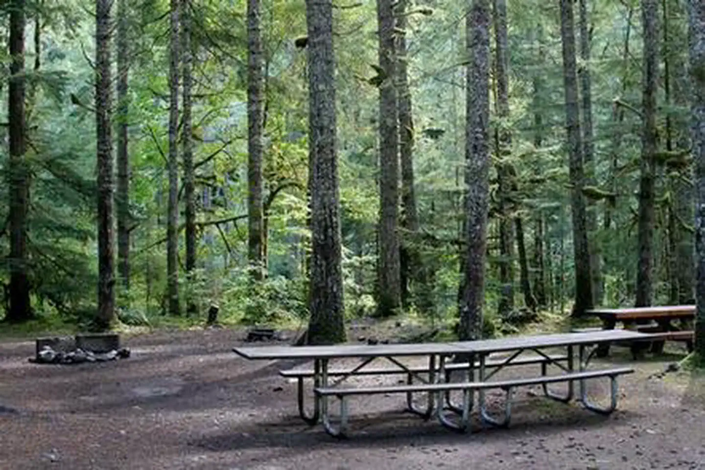
Site mix
| Group sites | 2 |
Site guide
Will my RV fit
The longest site here provides 30 feet of vehicle capacity. Most sites are shorter.
2 sites. Tap a filter to narrow the list; the map follows.
| Site | Fits, ft | Surface | Shade | People / vehicles | Fires |
|---|---|---|---|---|---|
| A | 30 | Gravel | Full | 25 / 5 | Yes |
| B | 30 | Gravel | Full | 25 / 20 | Yes |
Per-site records as published by the managing agency on Recreation.gov. Blank cells mean the agency listed nothing for that site. Check-in 2:00 PM, checkout 12:00 PM.
Amenities & rules
| Hookups | None |
| Max vehicle length | 30 ft |
| Equipment | RVs & trailers, Tents |
| Pets | Allowed |
| Campfires | Allowed, subject to restrictions |
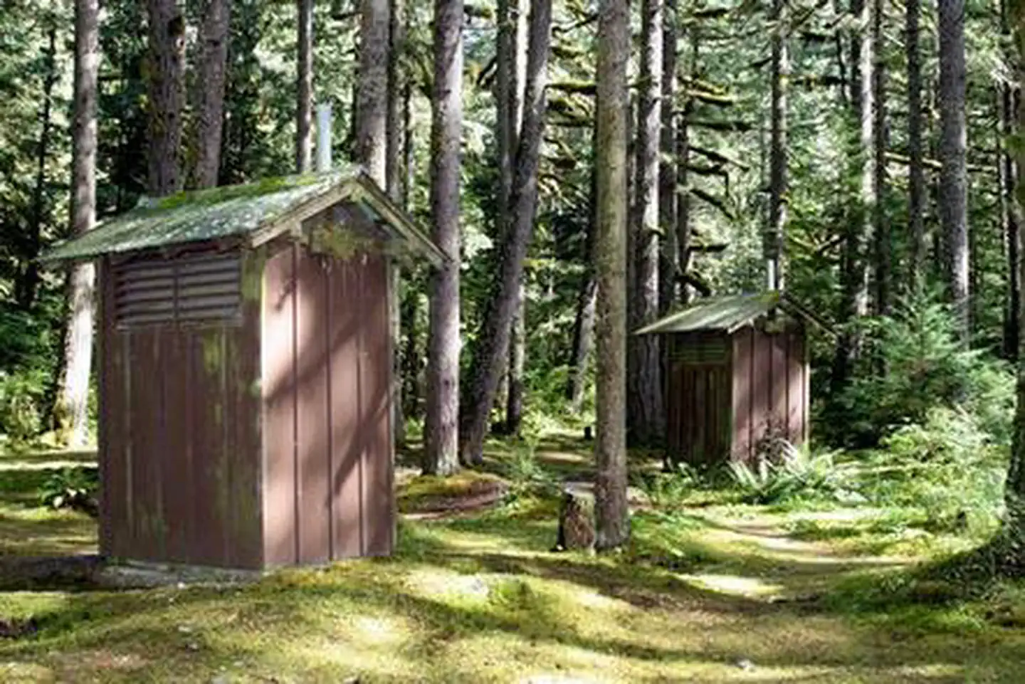
There are two large group sites in the campground. Site A will sleep 50 people and has a group fire ring along with picnic tables ant fire pits at the tent sites. Site B accommodates 50 people and has picnic tables and fire pits. Vault toilets are also provided.
Individual sites vary. Confirm on Recreation.gov or with the managing office.
Weather by month
Getting there
From Seattle, Washington, go north on I-5 to Bellingham. Take exit 255 onto Sunset Drive/Mt. Baker Highway SR 542. Turn right (east) on SR 542 and continue past the town of Glacier near mile 33. Continue past Glacier approximately 7 miles to the campground. The sign for the campground is located on the left (north) side of the highway.
| Coordinates | 48.9088° N, 121.8220° W · Directions ↗ |
Fire nearby
- WildfireLuna
28 mi from the campground · 8,553 acres · 42% contained
- WildfireBorder 2
37 mi from the campground · 9,108 acres · 74% contained
Distance is to the reported incident point, not the fire edge. Call the managing office before you drive.
Supplies & services
| Dump station | Dump station ↗ | 11.9 mi |
| Outdoor gear | Mt. Waddington's Outdoors ↗ | 15 mi |
| RV sales & service | Cottonwood RV Sales and Service ↗ | 18 mi |
Locations © OpenStreetMap contributors. Call ahead; hours change seasonally.
Explore
Worth a stop
Visitors enjoy hiking, picnicking and photography in the Heather Meadows area located along the upper reaches of the Mt. Baker Scenic Byway, SR 542. Many popular hikes and climbing routes are located in the surrounding Mt. Baker Wilderness and backpackers enjoy visiting the northern reaches of North Cascades National Park.
- 0.9 miExcelsior Pass Trailhead ↗Trailhead
- 7.2 miFire And Ice Trailhead ↗Trailhead
Trails nearby
- 0.9 miHigh Divide ↗13 mi trail · hiking, horse
- 1.7 miChurch Mountain4.2 mi trail · hiking
- 2 miBoyd Interpretive0.5 mi trail · hiking
- 2.2 miDamfino Lakes3 mi trail · hiking, horse, motorcycle, e-bike and 1 more
- 2.2 miExcelsior Peak0.5 mi trail · hiking
- 2.4 miUpper Horseshoe Kayak Launch0.2 mi trail · hiking
Trailheads within three miles
- 0.9 miExcelsior Pass Trailhead ↗Mt. Baker-Snoqualmie National Forest
- 1.6 miChurch Mountain Trailhead ↗Mt. Baker-Snoqualmie National Forest
- 2.7 miSkyline Divide Trailhead ↗Mt. Baker-Snoqualmie National Forest
Trail and trailhead records are the Forest Service's. Distances are straight-line to the nearer trail end. Trail conditions are not tracked here.
Public land it sits in
This campground sits inside Mount Baker Wilderness.
- inMount Baker Wilderness ↗Wilderness · Forest Service · 119,966 acres
Each unit is published as a centre point and an acreage rather than a boundary, so this section stands it in for a circle of the same area. Whether a campground is inside, and how far it is from one it is outside, are both approximate.
Other campgrounds nearby

On the National Register nearby
- Nooksack Falls Hydroelectric Power PlantHistoric district · Glacier · 0.2 mi
- Glacier Ranger StationBuilding · Glacier · 5.4 mi
- Austin Pass Warming HutBuilding · Glacier · 7.3 mi
Natural features
The Mt. Baker-Snoqualmie National Forest showcases rugged peaks, sparkling alpine lakes and old-growth forests. Mt. Baker, the most prominent feature of the nearby Mt. Baker Wilderness, rises to an elevation of 10,781 feet. This active volcano is perpetually snow-capped and mantled with an extensive network of creeping glaciers. Mt. Baker's summit, Grant Peak, is actually a 1,300-foot-deep mound of ice, which hides a massive volcanic crater. Fed by the high snowfields and glaciers of Mt. Baker, Mt.Shuksan and the Twin Sisters range, the Nooksack River system provides habitat for many species. Wildlife in the area includes five native salmon species, elk, bald eagles and black tailed deer. Migratory birds and black bears find ample habitat in the surrounding ecosystems.
Recreation
The area surrounding the campground is prime location for hiking, fishing and picnicking in summer and early fall. Hikers and backpackers are especially fortunate to have access to a variety of trails near the campground and in the surrounding areas. Horseshoe Bend Trail is an easy forest hike along the Mt. Baker Scenic Byway, highlighting old-growth forests, gushing whitewater rapids and forest wildflowers. The trail follows the North Fork of the Nooksack River upstream to a stunning view of East Church Mountain. The trailhead can be accessed from the nearby Douglas Fir campground. Another popular hike in the Mt. Baker Ranger District is the Skyline Divide Trail. This trail climbs steadily for two miles through forest into lush, open, flower-filled meadows with stellar views of glacier-draped Mt. Baker. The trail then wanders along Skyline Divide for another 1.5 miles, offering views of rivers, forests and countless peaks.
Guidebooks for Washington
We earn a small commission if you buy through these links. It does not change what we list.
Titles come from Open Library's catalog, matched by subject heading or by title.
Reference
Questions people ask
Do I need a reservation at Excelsior Group Camp?
Sites at Excelsior Group Camp are reservable on Recreation.gov. Any walk-up sites are listed on the booking page.
Source: Recreation.gov
What time is check-in at Excelsior Group Camp?
Check-in 2:00 PM, checkout 12:00 PM.
Source: Recreation.gov
How many sites does Excelsior Group Camp have?
2 sites, including 2 group sites.
Source: Recreation.gov
Will my RV fit at Excelsior Group Camp?
The longest site here provides 30 feet of vehicle capacity. Most sites are shorter. The sidebar tool checks a trailer or motorhome length against every site.
Source: Will my RV fit
Are pets allowed at Excelsior Group Camp?
Yes, pets are allowed at Excelsior Group Camp. Leash rules apply.
Source: Recreation.gov
Can I have a campfire at Excelsior Group Camp?
Fires are allowed in the provided rings under normal conditions. As of 2026-10-16, there are 2 active fires within 50 miles, so check current restrictions before you light one.
Source: Fire nearby
What is there to do at Excelsior Group Camp?
The area surrounding the campground is prime location for hiking, fishing and picnicking in summer and early fall. The Recreation section on this page has the rest.
Source: Recreation
What if Excelsior Group Camp is full?
The nearest public campgrounds are Douglas Fir Campground (4.1 mi), Silver Fir Campground (5.7 mi), and Park Creek Campground (13.9 mi).
Source: Campgrounds nearby