East Sullivan
East Sullivan Campground is located at the north end of Sullivan Lake about five miles east of Metaline Falls, Washington. The campground provides a unique environment where campers can enjoy many recreational opportunities.
More like this: reservable in Washington · big rigs in Washington · pets allowed in Washington · group sites in Washington
Check availability on Recreation.gov ↗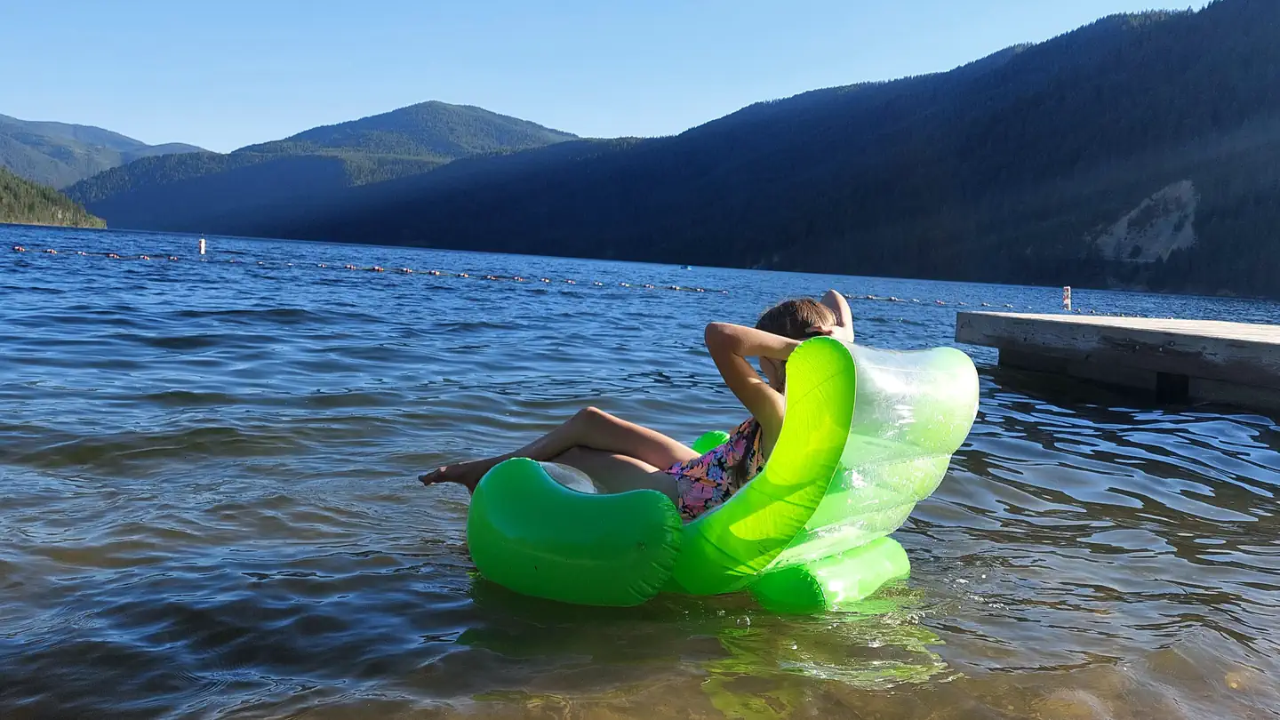
Site mix
| Standard, no hookups | 38 |
| Walk-in | 7 |
| Group sites | 1 |
Site guide
Will my RV fit
The longest site here provides 55 feet of vehicle capacity. Most sites are shorter.
46 sites in 5 loops. Tap a filter to narrow the list; the map follows.
| Site | Loop | Type | Entry | Fits, ft | Surface | People / vehicles | Fires | Accessible |
|---|---|---|---|---|---|---|---|---|
| 017 | CEDAR | Standard | Pull-through | 45 | Gravel | 8 / 1 | Yes | Yes |
| 018 | CEDAR | Standard | Back-in | 45 | Gravel | 8 / 1 | Yes | Yes |
| 019 | CEDAR | Standard | Back-in | 40 | Gravel | 8 / 1 | Yes | Yes |
| 020 | CEDAR | Standard | Pull-through | 45 | Gravel | 16 / 2 | Yes | Yes |
| 021 | CEDAR | Standard | Back-in | 40 | Gravel | 8 / 1 | Yes | Yes |
| 022 | CEDAR | Standard | Back-in | 30 | Gravel | 8 / 1 | Yes | Yes |
| 023 | CEDAR | Standard | Pull-through | 45 | Gravel | 16 / 2 | Yes | Yes |
| 024 | CEDAR | Standard | Back-in | 25 | Gravel | 8 / 1 | Yes | Yes |
| 025 | CEDAR | Standard | Back-in | 45 | Gravel | 16 / 2 | Yes | Yes |
| 026 | CEDAR | Standard | Back-in | 30 | Gravel | 8 / 1 | Yes | Yes |
Per-site records as published by the managing agency on Recreation.gov. Blank cells mean the agency listed nothing for that site. Check-in 2:00 PM, checkout 12:00 PM.
Amenities & rules
| Hookups | None |
| Max vehicle length | 55 ft |
| Equipment | RVs & trailers, Tents |
| Pets | Allowed |
| Campfires | Allowed, subject to restrictions |
| Accessibility | Sites 017, 018, 019, 020 and 34 more are listed accessible |
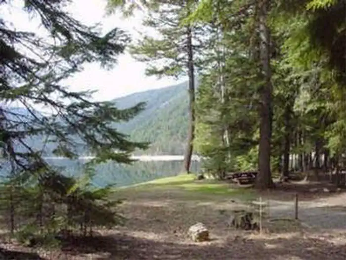
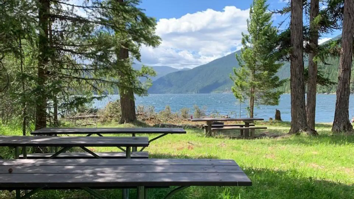
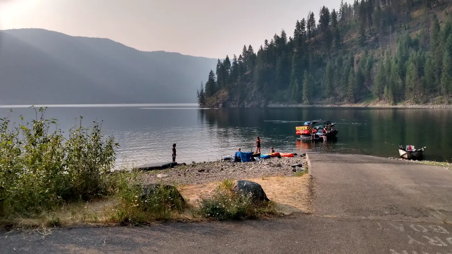
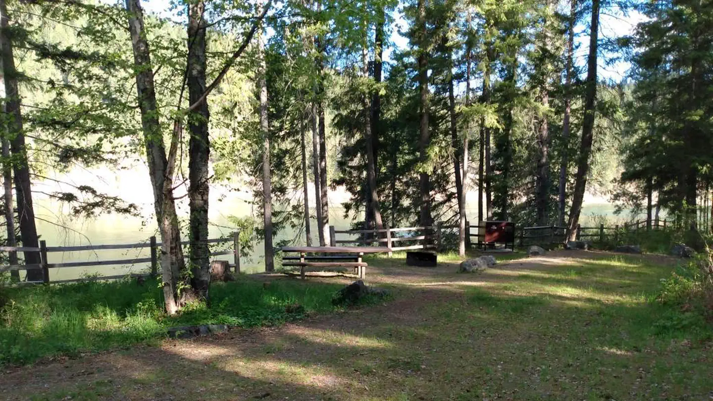
Campsites do not have a view of the lake, but they are all a short walk away. Along the lake is a day-use area, walking trail, boat ramp, picnic tables and swimming area. The group campground is located near the boat ramp and can accommodate up to 40 people. A small airstrip adjacent to the campground is used by some campers who fly in with their small aircraft, or via a chartered plane.
Individual sites vary. Confirm on Recreation.gov or with the managing office.
Season & status
| Status | Closed for the season. Forest Service sites close for the season; check the official page for the reopening date. |
| Season | May 17 to September 30 |
| Forest | Colville National Forest |
| Booking | Single sites, double sites, and 1 group site are available for reservation at Recreation.gov or call 1-877-444-6777 |
| Fees | Camping: $29/single site. Camping: $58/double site. Group Camping: $110/group site (Reservation only). Extra vehicle: none. Day use: $10. Season Pass for Colville Only: $52. Season Pass for Colville and Idaho Panhandle: $52 |
| Rules | Washington state fishing license required. Quiet hours between 10 p.m. and 6 a.m. Campfire in developed fire ring only. Fireworks are prohibited. Pets must be on leash. OHV use prohibited in the campground. Maximum length of stay: 14 days. Food and wildlife attractants must be properly stored at all times |
Weather by month
Getting there
Campground is located 95 miles north of Spokane, Washington. From the junction of State Highway 20, follow State Highway 31 three miles north to the junction of the Sullivan Lake Road (County Road 9345). Follow the Sullivan Lake Road for 12.5 miles to the junction of Forest Road 2200 (Sullivan Creek).
| Nearest town | Metaline Falls, Washington |
| Coordinates | 48.8614° N, 117.2828° W · Directions ↗ |
Fire nearby
- PrescribedSl Rx - Ione
12 mi from the campground
- WildfireParker Lake
30 mi from the campground · 1,531 acres · 1% contained
- WildfireUpper Smith
31 mi from the campground · 4,848 acres · 41% contained
- PrescribedLpr Rx - Paulke
32 mi from the campground · 331 acres
Distance is to the reported incident point, not the fire edge. Call the managing office before you drive.
Supplies & services
| Dump station | Dump station ↗ | 26.7 mi |
| Outdoor gear | Anacortes Telescope & Wild Bird ↗ | 36 mi |
| RV sales & service | Kootenay RV ↗ | 38.8 mi |
Locations © OpenStreetMap contributors. Call ahead; hours change seasonally.
Explore
Video
campground review video of Koa Stanton exit Sullivan, MO
Trails nearby
- 0.6 miRed Bluff ↗5.2 mi trail · hiking, horse, bike · national_scenic_or_historic
- 0.6 miSullivan Creek2.5 mi trail · hiking, horse, bike
- 0.7 miElk Creek2.1 mi trail · hiking, horse, bike
- 0.7 miSouth Mill Pond0.5 mi trail · hiking, horse, bike
- 1 miMill Pond Flume0.5 mi trail · hiking, horse, bike
- 1.5 miSullivan Lake ↗4.2 mi trail · hiking, horse, bike · national_recreation_or_other
Trailheads within three miles
- 2.1 miSullivan Mountain Trailhead ↗Colville National Forest
Trail and trailhead records are the Forest Service's. Distances are straight-line to the nearer trail end. Trail conditions are not tracked here.
Public land it sits in
This campground sits inside Salmo-Priest Wilderness.
- inSalmo-Priest Wilderness ↗Wilderness · Forest Service · 41,307 acres
- 13.7 miColville National Forest ↗National Forest · Forest Service · 1,752,994 acres
Each unit is published as a centre point and an acreage rather than a boundary, so this section stands it in for a circle of the same area. Whether a campground is inside, and how far it is from one it is outside, are both approximate.
Other campgrounds nearby

On the National Register nearby
- Washington HotelBuilding · Metaline Falls · 4 mi
- Pend Oreille Mines and Metals BuildingBuilding · Metaline Falls · 4.1 mi
- Lewis P. Larson HouseBuilding · Metaline Falls · 4.2 mi
Natural features
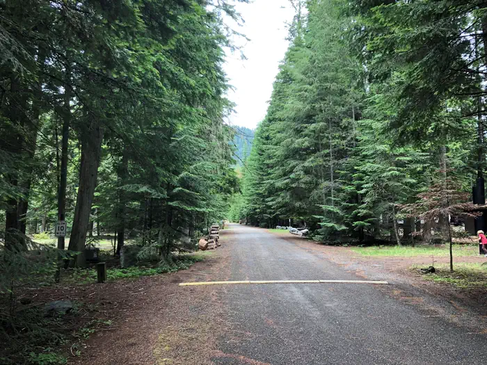
Sullivan Lake covers 1291 acres and has a depth of 320 feet. Hall Mountain rises abruptly from the eastern shore of the lake to a height of over 6000 feet. The densely wooded nature of the campground provides privacy at each campsite, and plenty of shade for warm summer days. Wildlife such as elk, moose, white-tailed deer, and black bears can be spotted in the area. In the fall, the surrounding forests are ablaze with the yellow foliage of western larch and aspen.
Recreation
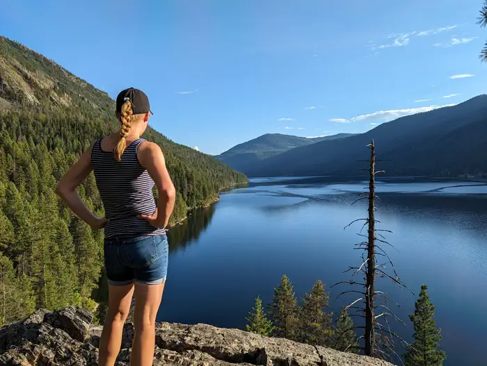
The Sullivan Lake Basin provides campers with opportunities for swimming, biking, fishing, boating and hiking. Canoeing, kayaking, paddle boarding and power boating are among the water sports popular on the lake. Campers can walk directly from their campsite to a short nature trail, as well as the Lakeshore Trail, a National Scenic Trail that runs along the eastern shore of the lake. This 4.2 mile trail offers viewpoint of the lake and is a popular day-hike for all ages. Biking along local trails and roads is also popular. Common fish species include burbot and Kokanee salmon. Fishing in this deep mountain lake is most successful from a boat.
Nearby
The trail to the top of nearby Hall Mountain offers great views of the lake basin and surrounding mountains. Wildflowers canb abundant on this popular trail. A 20 mile drive will take you to the Salmo-Priest Wilderness area, which offers excellent hikes and rugged mountain scenery. Sullivan Lake is about four miles southeast of Metaline Falls, a quaint town with historic buildings. Crawford State Park is located on the west side of the Pend Oreille River near the U.S.- Canada border. In the summer, a park ranger conducts under-ground tours of Gardiner Cave, the main attraction at this park. Seattle City Light offers tours of their Boundary Hydroelectric Project, on the main-stem Pend Oreille River one mile from the international border.
Guidebooks for Washington
We earn a small commission if you buy through these links. It does not change what we list.
Titles come from Open Library's catalog, matched by subject heading or by title.
Reference
Questions people ask
Do I need a reservation at East Sullivan?
Sites at East Sullivan are reservable on Recreation.gov. Single sites, double sites, and 1 group site are available for reservation at Recreation.gov or call 1-877-444-6777 Any walk-up sites are listed on the booking page.
Source: Recreation.gov
How much does it cost to camp at East Sullivan?
Camping: $29/single site. Camping: $58/double site. Group Camping: $110/group site (Reservation only).
Source: Recreation.gov
What time is check-in at East Sullivan?
Check-in 2:00 PM, checkout 12:00 PM.
Source: Recreation.gov
Is East Sullivan open right now?
Closed for the season as of Oct 16, 2026. Season May 17 to September 30.
Source: Forest Service status
How many sites does East Sullivan have?
46 sites, including 38 standard sites without power, 7 walk-in sites, and 1 group site.
Source: Recreation.gov
Will my RV fit at East Sullivan?
The longest site here provides 55 feet of vehicle capacity. Most sites are shorter. The sidebar tool checks a trailer or motorhome length against every site.
Source: Will my RV fit
Are pets allowed at East Sullivan?
Yes, pets are allowed at East Sullivan. Leash rules apply.
Source: Recreation.gov
Can I have a campfire at East Sullivan?
Fires are allowed in the provided rings under normal conditions. As of 2026-10-16, there are 4 active fires within 50 miles, so check current restrictions before you light one. Washington state fishing license required.
Source: Fire nearby
Are there accessible sites at East Sullivan?
Sites 017, 018, 019, and 020 are listed accessible on Recreation.gov, 38 sites in all. What that covers (a paved pad, an accessible table, a nearby accessible restroom) is on each site's booking page.
Source: Recreation.gov
Is there cell service at East Sullivan?
FCC coverage maps show T-Mobile 5G at the campground point. Terrain changes that from one site to the next.
Source: FCC Broadband Map
What is there to do at East Sullivan?
The Sullivan Lake Basin provides campers with opportunities for swimming, biking, fishing, boating and hiking. The Recreation section on this page has the rest.
Source: Recreation
What is the nearest town to East Sullivan?
Metaline Falls, Washington. The trail to the top of nearby Hall Mountain offers great views of the lake basin and surrounding mountains.
Source: Getting there