Mckenzie Bridge
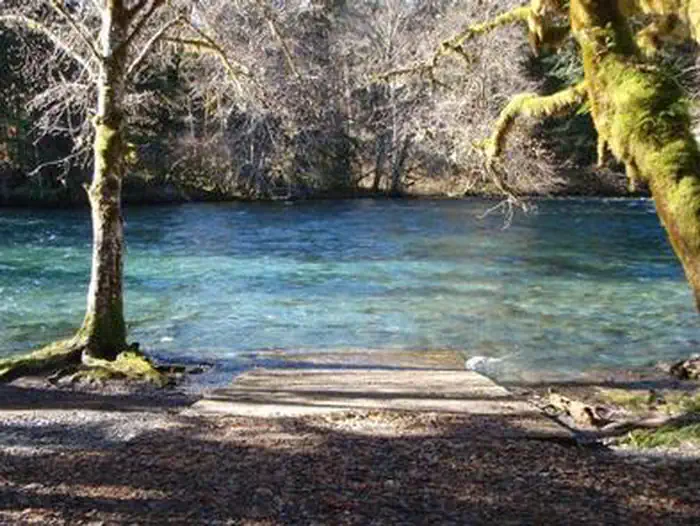
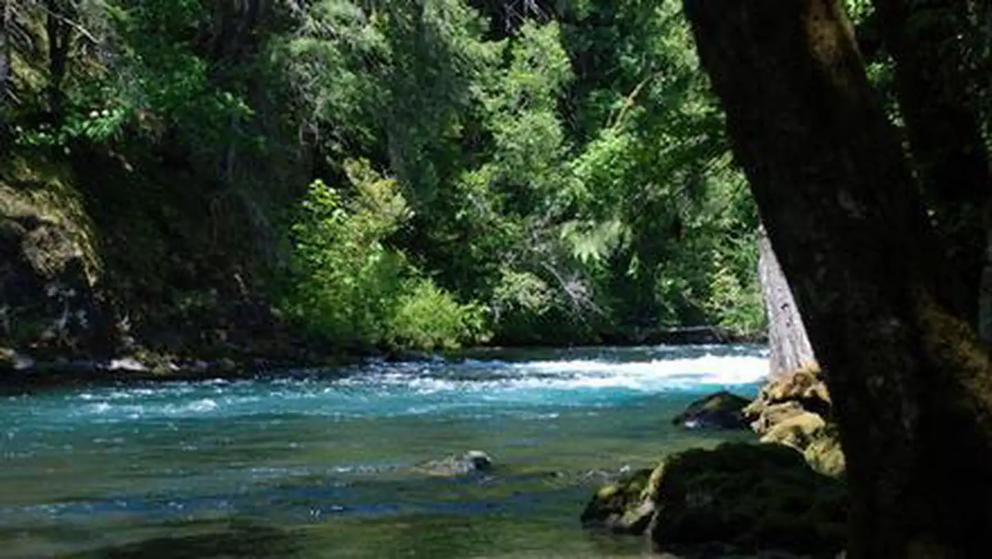
McKenzie Bridge Campground is located an hour east of Eugene, Oregon. It rests in the shade of a towering grove of Douglas fir and Western red cedar trees along the banks of the McKenzie River. The campground is small and pleasant, providing an ideal atmosphere for relaxation, fishing and bird watching. Feathered residents of the river include osprey, great blue herons and bald eagles.
Some sites take reservations on Recreation.gov. Others are first-come, first-served.
More like this: first-come in Oregon · reservable in Oregon · big rigs in Oregon · pets allowed in Oregon
Check availability on Recreation.gov ↗

Site mix
| Standard, no hookups | 18 |
| Host/management | 8 |
Site guide
Will my RV fit
The longest site here provides 70 feet of vehicle capacity. Most sites are shorter.
18 sites in 2 loops. Tap a filter to narrow the list; the map follows.
| Site | Loop | Entry | Fits, ft | Surface | Shade | Waterfront | People / vehicles | Fires |
|---|---|---|---|---|---|---|---|---|
| 010 | BBWS | Back-in | 30 | Gravel | Full | 8 / 1 | Yes | |
| 011 | BBWS | Pull-through | 70 | Partial | Riverfront | 8 / 1 | Yes | |
| 012 | BBWS | Back-in | 24 | Gravel | Full | 8 / 1 | Yes | |
| 013 | BBWS | Pull-through | 35 | Partial | ||||
| 014 | BBWS | Back-in | 30 | Partial | ||||
| 015 | BBWS | Back-in | 20 | Partial | ||||
| 016 | BBWS | Back-in | 24 | Partial | Riverfront | 8 / 1 | Yes | |
| 017 | BBWS | Back-in | 20 | Partial | ||||
| 018 | BBWS | Back-in | 40 | Gravel | Full | 8 / 1 | Yes | |
| 019 | BBWS | Back-in | 40 | Gravel | Full | 8 / 1 | Yes |
Per-site records as published by the managing agency on Recreation.gov. Blank cells mean the agency listed nothing for that site. Check-in 2:00 PM, checkout 11:00 AM.
Amenities & rules
| Hookups | None |
| Max vehicle length | 70 ft |
| Equipment | RVs & trailers, Tents |
| Pets | Allowed |
| Campfires | Allowed, subject to restrictions |
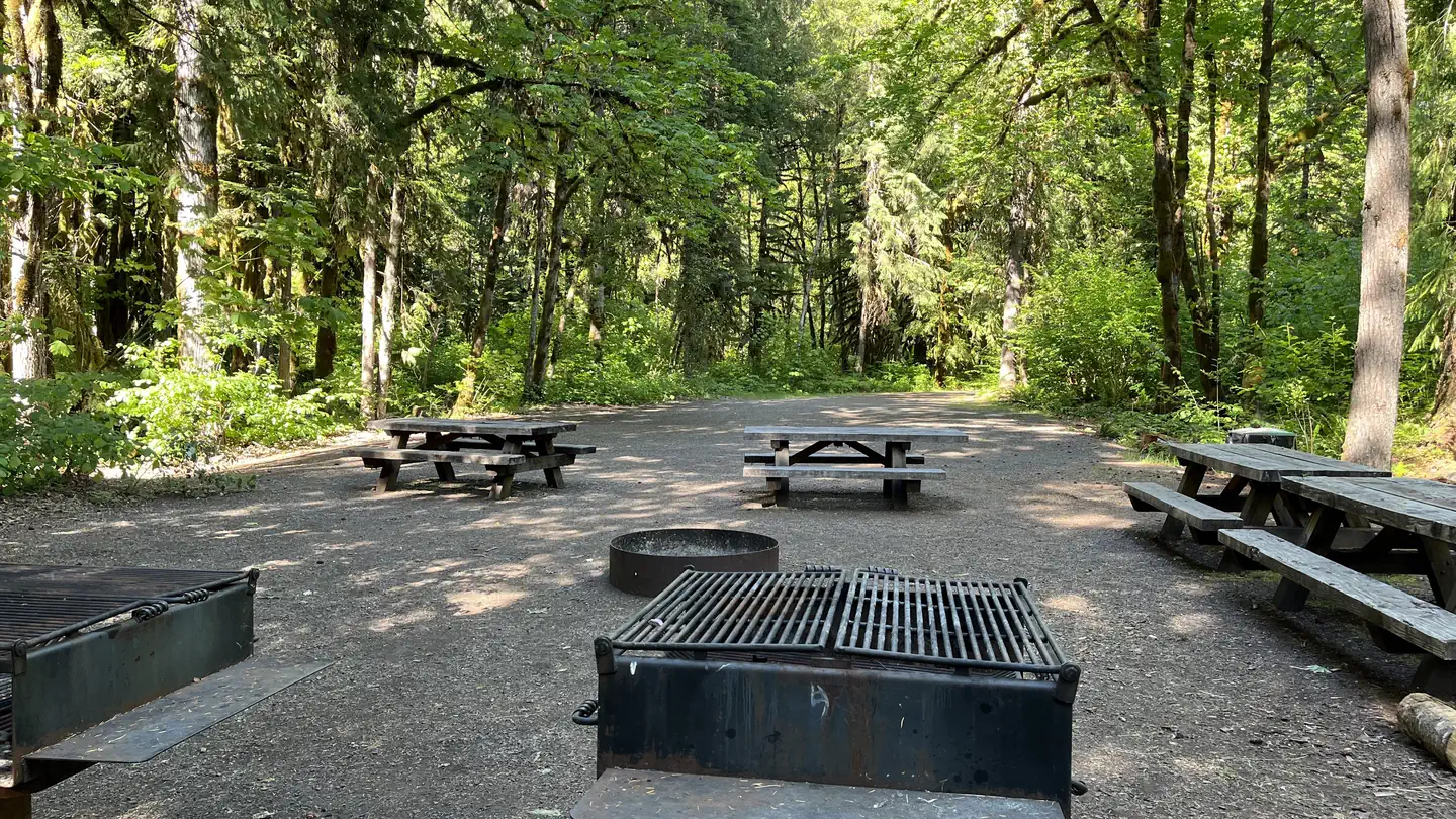
Campsites are nicely spaced and many have riverfront access. Vault toilets and drinking water are provided. Parking areas are gravel surfaced.
Individual sites vary. Confirm on Recreation.gov or with the managing office.
Season & status
| Status | Open |
| Season | April to September |
| Forest | Willamette National Forest |
| Booking | Reserve online at www.recreation.gov or phone 1.877.444.6777. Thirteen of the twenty campsites are available for advance reservation via recreation.gov. |
| Fees | Single Campsites - $25 per night. Double Sites - $50 per night. Extra Vehicles - $10 per vehicle, per night. Day Use - $10 per vehicle, per day. Download the Recreation.gov mobile app prior to your trip so you can pay the overnight fee onsite with Scan and Pay. |
| Rules | Maximum trailer length 35 feet. Camping is not allowed more than 14 days in a 60 day period. Check-in time: 2:00 pm or later. Check-out time: 1:00 pm. Use of chainsaws in the campground is prohibited. Dogs MUST be on leash at all times within the campground. Camping is restricted to developed campgrounds in the Cougar Recreation Area |
Weather by month
Getting there
From Eugene, OR, take I-105 east to McKenzie Highway 126 for 55 miles. Look for signs. The campground is located on the right side of the highway.
| Nearest town | Coburg, Oregon |
| Coordinates | 44.1750° N, 122.1750° W · Directions ↗ |
Fire nearby
- PrescribedCamas Ts Rx
19 mi from the campground
- PrescribedJunction Rx
38 mi from the campground
Distance is to the reported incident point, not the fire edge. Call the managing office before you drive.
Supplies & services
| Dump station | Sweet Home RV Dump ↗ | 31.1 mi |
| Outdoor gear | Timber Town Resale ↗ | 41.9 mi |
| RV sales & service | Marathon Coach ↗ | 43.7 mi |
Locations © OpenStreetMap contributors. Call ahead; hours change seasonally.
Explore
Video
McKenzie Bridge Campground, Willamette National Forest, Oregon
Worth a stop
Restaurants and the Tokatee Golf Course are within a few miles of the campground.
- 0.1 mi
- 1.7 miFrissell South Trailhead ↗Trailhead
- 6.9 mi
- 8.7 miOlallie Day Use ↗Day use
Trails nearby
- 1.7 miFrissel4.2 mi trail · hiking, horse, bike
- 2 miOlallie ↗22.8 mi trail · hiking, horse, bike
- 2.2 miKing Castle3.6 mi trail · hiking, horse, bike
- 2.3 miMcKenzie River NRT ↗26.4 mi trail · hiking, bike · national_recreation_or_other
- 2.5 miCastle Rock ↗4.5 mi trail · hiking, horse, bike
- 4 miLookout Creek Old Growth3.4 mi trail · hiking
Trailheads within three miles
- 1.7 miFrissell South Trailhead ↗Willamette National Forest
- 1.9 miMcKenzie River Trailhead - Lower ↗Willamette National Forest
- 2 miOlallie North Trailhead ↗Willamette National Forest
- 2.3 miCastle Rock Trailhead ↗Willamette National Forest
Trail and trailhead records are the Forest Service's. Distances are straight-line to the nearer trail end. Trail conditions are not tracked here.
Public land it sits in
This campground sits inside Willamette National Forest.
- inWillamette National Forest ↗National Forest · Forest Service · 1,801,292 acres
- 4.6 miThree Sisters Wilderness ↗Wilderness · Forest Service · 283,818 acres
- 9 miDeschutes National Forest ↗National Forest · Forest Service · 1,870,116 acres
Each unit is published as a centre point and an acreage rather than a boundary, so this section stands it in for a circle of the same area. Whether a campground is inside, and how far it is from one it is outside, are both approximate.
Other campgrounds nearby

Cabin and lookout rentals nearby
On the National Register nearby
- Log Cabin Inn EnsembleBuilding · McKenzie Bridge · 0.7 mi
- Belknap BridgeStructure · Rainbow · 2.7 mi
Natural features
McKenzie Bridge sits on the banks of the McKenzie River at an elevation of 1,200 feet. Rapids in various sections of the river are what make McKenzie one of Oregon's most popular rivers for whitewater rafting. McKenzie Bridge is part of the Willamette National Forest, which stretches for 110 miles along the western slopes of the Cascade Range.
Recreation
At the campground, the river provides catch-and-release fishing for trout and steelhead. Whitewater kayaking and rafting are also popular activities. A boat ramp is located on-site. The McKenzie River National Recreation Trail begins nearby, offering fun-filled hiking and biking opportunities. The 26-mile trail boasts wonderful scenery along the river and is an easy hike for all ages.
Guidebooks for Oregon
We earn a small commission if you buy through these links. It does not change what we list.

Titles come from Open Library's catalog, matched by subject heading or by title.
Reference
Questions people ask
Do I need a reservation at Mckenzie Bridge?
For some sites. Some sites take reservations on Recreation.gov. Others are first-come, first-served.
Source: Recreation.gov
How much does it cost to camp at Mckenzie Bridge?
Single Campsites - $25 per night. Double Sites - $50 per night. Extra Vehicles - $10 per vehicle, per night.
Source: Recreation.gov
What time is check-in at Mckenzie Bridge?
Check-in 2:00 PM, checkout 11:00 AM.
Source: Recreation.gov
Is Mckenzie Bridge open right now?
Open as of Oct 16, 2026. Season April to September.
Source: Forest Service status
How many sites does Mckenzie Bridge have?
26 sites, including 18 standard sites without power.
Source: Recreation.gov
Will my RV fit at Mckenzie Bridge?
The longest site here provides 70 feet of vehicle capacity. Most sites are shorter. The sidebar tool checks a trailer or motorhome length against every site.
Source: Will my RV fit
Are pets allowed at Mckenzie Bridge?
Yes, pets are allowed at Mckenzie Bridge. Leash rules apply.
Source: Recreation.gov
Can I have a campfire at Mckenzie Bridge?
Fires are allowed in the provided rings under normal conditions. As of 2026-10-16, there are 2 active fires within 50 miles, so check current restrictions before you light one. Maximum trailer length 35 feet.
Source: Fire nearby
Is there cell service at Mckenzie Bridge?
FCC coverage maps show AT&T 4G LTE at the campground point. Terrain changes that from one site to the next.
Source: FCC Broadband Map
What is there to do at Mckenzie Bridge?
At the campground, the river provides catch-and-release fishing for trout and steelhead. The Recreation section on this page has the rest.
Source: Recreation
What is the nearest town to Mckenzie Bridge?
Coburg, Oregon. Restaurants and the Tokatee Golf Course are within a few miles of the campground.
Source: Getting there
What if Mckenzie Bridge is full?
The nearest public campgrounds are Horse Creek Group Campground (1.7 mi), Paradise In Oregon (4 mi), and Mckenzie River Trailhead At Paradise Campground (4.2 mi, first-come).
Source: Campgrounds nearby