Pumice Flat Group Camp
Pumice Flat Group Camp is located in the Red's Meadows and Devils Postpile section of the eastern Sierra Nevada Mountains, just west of the full-service community of Mammoth Lakes, California. This group camping facility provides access to some of the most spectacular wilderness in the Sierras and many outdoor activities such as horseback riding, fishing, hiking, photography and geologic study of the dramatic landscape. Devils Postpile National Monument and the famous Ansel Adams Wilderness are nearby for campers to explore.
Some sites take reservations on Recreation.gov. Others are first-come, first-served.
More like this: first-come in California · reservable in California · big rigs in California · pets allowed in California · group sites in California
Check availability on Recreation.gov ↗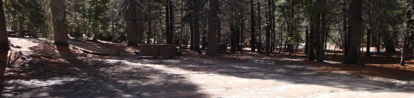

Site mix
| Group sites | 4 |
Site guide
Will my RV fit
The longest site here provides 40 feet of vehicle capacity. Most sites are shorter.
4 sites in 4 loops. Tap a filter to narrow the list; the map follows.
| Site | Loop | Entry | Fits, ft | Surface | Shade | People / vehicles | Fires |
|---|---|---|---|---|---|---|---|
| 002 | FLT2 | Back-in | 30 | Gravel | Full | 20 / 3 | Yes |
| 003 | FLT3 | Back-in | 30 | Gravel | Full | 20 / 4 | Yes |
| 004 | FLT4 | 40 | Gravel | Partial | 50 / 10 | Yes | |
| 001 | PUMI | 40 | Gravel | Full | 30 / 8 | Yes |
Per-site records as published by the managing agency on Recreation.gov. Blank cells mean the agency listed nothing for that site. Check-in 2:00 PM, checkout 12:00 PM.
Amenities & rules
| Hookups | None |
| Max vehicle length | 40 ft |
| Equipment | RVs & trailers, Tents |
| Pets | Allowed |
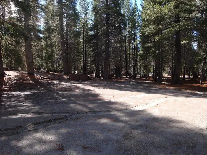
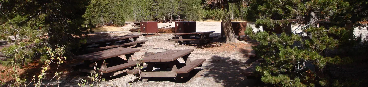
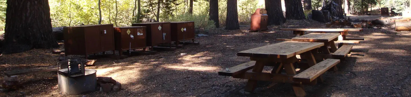
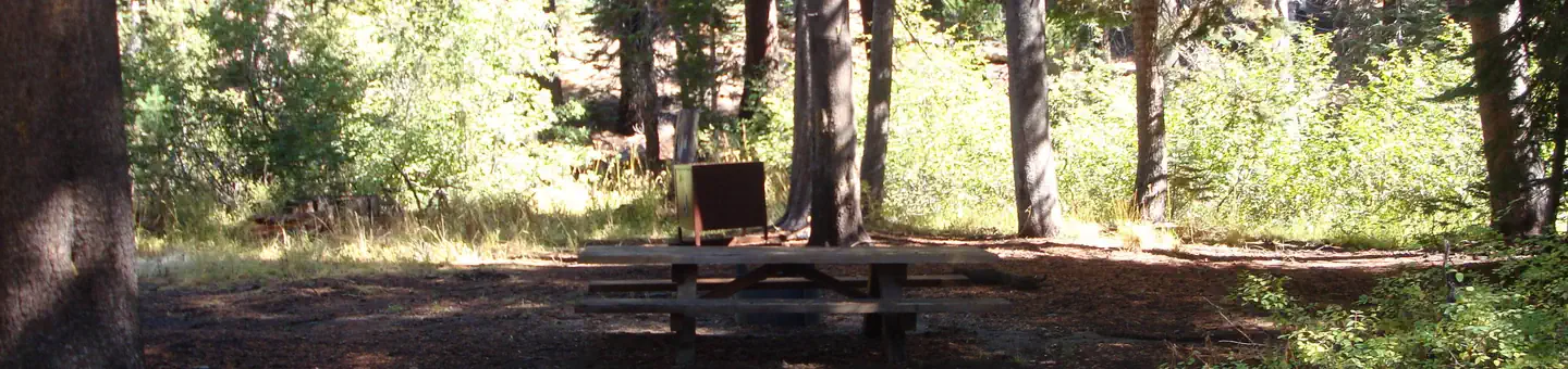
The group camp is within the main Pumice Flat Campground, which offers first-come, first-served individual sites. The group area consists of four group campsites, spaced well apart and located fairly close to either creek. Picnic tables, campfire rings and food storage lockers are provided. The road to the facility is narrow, single-lane and only accessible in summer.
Individual sites vary. Confirm on Recreation.gov or with the managing office.
Season & status
| Status | Closed for the season. Forest Service sites close for the season; check the official page for the reopening date. |
| Forest | Inyo National Forest |
| Booking | This site can be reserved by calling Toll Free 1-877-444-6777 (International 606-515-6777 or TDD 877-833-6777) or on-line at www.recreation.gov OPERATED BY: RRM-CLM Services, DBA Inyo Recreation… |
| Fees | Pumice Flat Group Site 1 - $143.00 per night Pumice Flat Group Sites 2 & 3 - $95.00 Pumice Flat Group Site 4 - $237.00 |
| Rules | Campers may drive into Reds Meadow Valley; however shuttle fee applies. Active bear area, bear boxes are provided and must be used (typical bear box size 48"x 30"x 36"). |
Weather by month
Getting there
From U.S. Highway 395, take Highway 203 west through the town of Mammoth Lakes. At the second traffic light, turn right onto Minaret (203). Pass the Mammoth Mountain Ski Area and Minaret Vista. Continue a few miles on Red's Meadow Road to the campground turnoff.
| Coordinates | 37.6457° N, 119.0741° W · Directions ↗ |
Fire nearby
- WildfireDome
30 mi from the campground · 6,788 acres · 95% contained
Distance is to the reported incident point, not the fire edge. Call the managing office before you drive.
Supplies & services
| Dump station | Dump station ↗ | 6.1 mi |
| Outdoor gear | Mountain Shop & Mountaineering School ↗ | 27.9 mi |
Locations © OpenStreetMap contributors. Call ahead; hours change seasonally.
Explore
Trails nearby
- 0.5 miSotcher Lake Feeder0.9 mi trail · hiking, horse, bike
- 0.6 miSoda Springs Cg-PCT0.05 mi trail · hiking, horse
- 1 miF-San Joaquin Ridge Sm2.6 mi trail · snowmobile, snowshoe, ski
- 1 miMinaret Vista Vis0.2 mi trail · hiking, horse, bike
- 1.1 miStarkweather2.5 mi trail · hiking, horse, bike
- 1.1 miMountain View Mtn. Bike ↗5.4 mi trail · hiking, horse, bike
Trailheads within three miles
- 1.3 miSotcher Lake Trailhead ↗Inyo National Forest · Season Road closed in winter.
- 2.2 miRainbow Falls Trailhead ↗Inyo National Forest · Season Road closed in winter.
- 2.5 miAgnew Meadow Wildflower Trailhead ↗Inyo National Forest
Trail and trailhead records are the Forest Service's. Distances are straight-line to the nearer trail end. Trail conditions are not tracked here.
Public land it sits in
This campground sits inside Ansel Adams Wilderness.
- inAnsel Adams Wilderness ↗Wilderness · FS/NPS · 231,619 acres
- 0.9 miSierra National Forest ↗National Forest · Forest Service · 1,418,790 acres
- 2.6 miOwens River Headwaters Wilderness ↗Wilderness · Forest Service · 14,698 acres
Each unit is published as a centre point and an acreage rather than a boundary, so this section stands it in for a circle of the same area. Whether a campground is inside, and how far it is from one it is outside, are both approximate.
Other campgrounds nearby
On the National Register nearby
- Devils Postpile National Monument Ranger CabinBuilding · Mammoth Lakes · 1.2 mi
Natural features
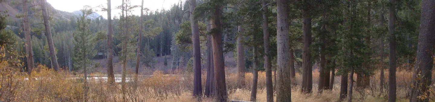
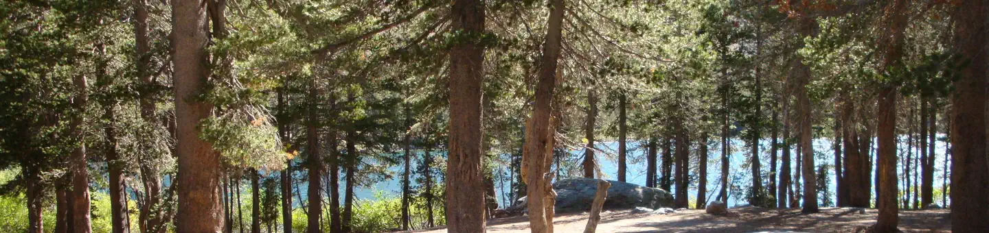
The campground sits in a lodgepole pine forest surrounded by high mountain peaks and adjacent to two creeks. The elevation is 7,700 feet. The area boasts some very interesting geologic features, including numerous lakes and rugged mountains, which lend themselves well to photography.
Recreation
This campground is a great base camp for hiking the area's many trails. Within a few miles, campers will find trailheads to the Ansel Adams Wilderness, Pacific Crest Trail and John Muir Trails. There is a mandatory shuttle that takes hikers to nearby trailheads. Fishing enthusiasts can try for trout in the lake or the North Fork of the San Joaquin River.
Nearby
The Red's Meadow Pack Station and Resort are about 2.5 miles away at the end of Red's Meadow Road. A general store and cafe are available. The trailhead for Rainbow Falls also begins here. The area is very close to Devils Postpile National Monument and the Ansel Adams Wilderness. Both areas have numerous trails and unparalleled photographic opportunities. Devils Postpile National Monument Ansel Adams Wilderness
Guidebooks for Inyo National Forest and California
We earn a small commission if you buy through these links. It does not change what we list.

Titles come from Open Library's catalog, matched by subject heading or by title.
Reference
Questions people ask
Do I need a reservation at Pumice Flat Group Camp?
For some sites. Some sites take reservations on Recreation.gov. Others are first-come, first-served.
Source: Recreation.gov
How much does it cost to camp at Pumice Flat Group Camp?
Pumice Flat Group Site 1 - $143.00 per night Pumice Flat Group Sites 2 & 3 - $95.00 Pumice Flat Group Site 4 - $237.00
Source: Recreation.gov
What time is check-in at Pumice Flat Group Camp?
Check-in 2:00 PM, checkout 12:00 PM.
Source: Recreation.gov
Is Pumice Flat Group Camp open right now?
Closed for the season as of Oct 16, 2026.
Source: Forest Service status
How many sites does Pumice Flat Group Camp have?
4 sites, including 4 group sites.
Source: Recreation.gov
Will my RV fit at Pumice Flat Group Camp?
The longest site here provides 40 feet of vehicle capacity. Most sites are shorter. The sidebar tool checks a trailer or motorhome length against every site.
Source: Will my RV fit
Are pets allowed at Pumice Flat Group Camp?
Yes, pets are allowed at Pumice Flat Group Camp. Leash rules apply.
Source: Recreation.gov
What is there to do at Pumice Flat Group Camp?
This campground is a great base camp for hiking the area's many trails. The Recreation section on this page has the rest.
Source: Recreation
What if Pumice Flat Group Camp is full?
The nearest public campgrounds are Agnew Meadows Group Camp (2.7 mi), Agnew Horse Camp (2.7 mi), and Twin Lakes Campground (4.2 mi).
Source: Campgrounds nearby