Falcon Group
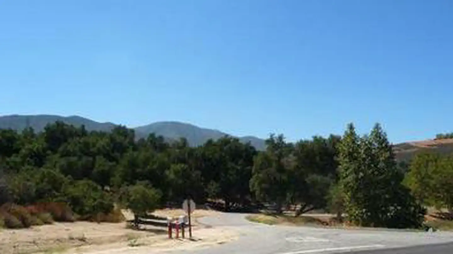
Falcon Group Campground has three individual group campsites just off the scenic Ortega Highway in Southern California, which connects San Juan Capistrano and Temecula Valley Highway. The pleasant climate, scenery, trail system and convenient location, make this a popular destination for groups from Los Angeles and San Diego. Hiking is especially popular among campers.
More like this: reservable in California · tent only in California · group sites in California
Check availability on Recreation.gov ↗
Site mix
| Group tent areas | 3 |
Site guide
3 sites in 3 loops. Tap a filter to narrow the list; the map follows.
| Site | Loop | Entry | Surface | Shade | People / vehicles |
|---|---|---|---|---|---|
| 1L | LUPE | Paved | Full | 40 / 8 | |
| 1S | SAGE | Back-in | Paved | Full | 30 / 6 |
| 1Y | YARR | Paved | Full | 70 / 10 |
Per-site records as published by the managing agency on Recreation.gov. Blank cells mean the agency listed nothing for that site. Check-in 2:00 PM, checkout 2:00 PM.
Amenities & rules
| Max vehicle length | 25 ft |
| Equipment | Tents |
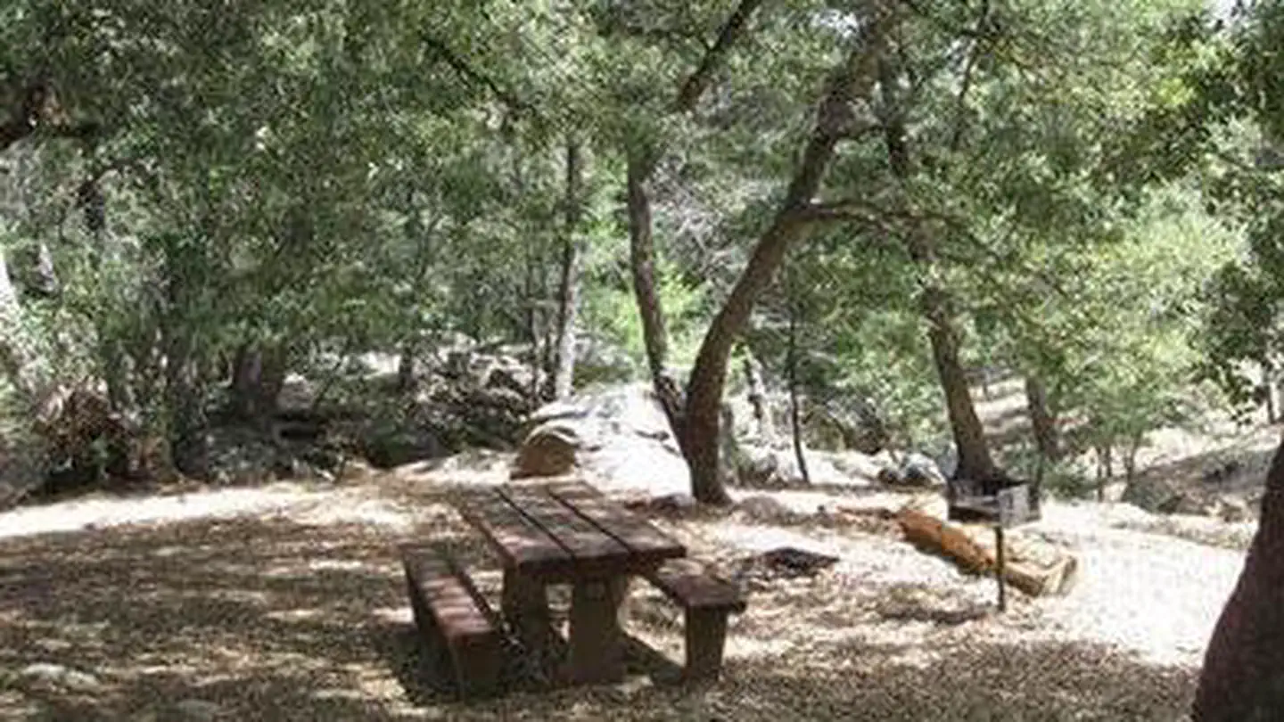
There are three individual campsites within the group campground. Lupine can hold 40 people and eight vehicles, Sage can hold 30 people and six vehicles, and Yarrow can hold 70 people and 10 vehicles. The facility is adjacent to Blue Jay Campground, which has first-come, first-served individual sites.
Individual sites vary. Confirm on Recreation.gov or with the managing office.
Weather by month
Getting there
From Southern California, take U.S. Highway 15 to State Highway 74 (Ortega Highway) in Lake Elsinore. Travel 6 miles west of Lake Elsinore on 74 and turn north on North Main Divide Road. Proceed 5 miles to Falcon Campground. From I-5, exit for Ortega Highway (State Highway 74). Take 74 east approximately 27 miles to North Main Divide Road.
| Nearest town | Lake Elsinore, California |
| Coordinates | 33.6558° N, 117.4603° W · Directions ↗ |
Supplies & services
| Dump station | Dump station ↗ | 8 mi |
| Outdoor gear | Sportsman's Warehouse ↗ | 12.2 mi |
| RV sales & service | Camping World ↗ | 17 mi |
Locations © OpenStreetMap contributors. Call ahead; hours change seasonally.
Explore
Worth a stop
The closest town is Lake Elsinore, which has various shops, restaurants and recreation opportunities.
- 2.7 mi
- 3 mi
- 4.7 miHotsprings Trailhead ↗Trailhead
- 8.3 miWildomar Trailhead ↗Trailhead
Trails nearby
- 0.5 miFalcon1.2 mi trail · hiking, horse, bike
- 0.7 miSan Juan ↗11.6 mi trail · hiking, horse, bike
- 0.9 miChiquito ↗6.4 mi trail · hiking, horse, bike
- 1 miViejo Tie1.4 mi trail · hiking, horse, bike
- 1.1 miLos Pinos ↗8.2 mi trail · hiking, horse, bike
- 1.1 miTrabuco Canyon4.3 mi trail · hiking, horse, bike
Trailheads within three miles
- 0.7 miBlue Jay Trailhead ↗Cleveland National Forest
Trail and trailhead records are the Forest Service's. Distances are straight-line to the nearer trail end. Trail conditions are not tracked here.
Public land it sits in
San Mateo Canyon Wilderness begins about 3.7 miles away, and it is the closest of these.
- 3.7 miSan Mateo Canyon Wilderness ↗Wilderness · Forest Service · 39,412 acres
Each unit is published as a centre point and an acreage rather than a boundary, so this section stands it in for a circle of the same area. Whether a campground is inside, and how far it is from one it is outside, are both approximate.
Other campgrounds nearby


Historic landmarks nearby

Natural features
The campground sits at an elevation of 3,300 ft. off the Ortega Highway scenic drive in the Santa Ana Mountains, a route that offers beautiful views of the surrounding mountains, valleys and forest. The area lies in a mixed forest and chaparral ecosystem and is inhabited by a variety of birds, plants and wildlife.
Recreation
Hikers of any level can find trails that challenge and accommodate their recreational goals around the campground. Among them are the Falcon Trail, a 1.4-mile easy trail that connects to the campground, and Trabuco Canyon Trail, which provides scenic 6.8-mile hike into the backcountry. The San Juan Trial, which is popular with mountain bikers, has a trailhead at Blue Jay campground, adjacent from Falcon Group Campground. The trail climbs a very steep set of stacked switchbacks from the floor of Hot Springs Canyon and traverses briefly before steeply ascending a ridge toward Sugarloaf Mountain. There are also many ideal picnic spots and scenic overlooks along Ortega Highway.
Guidebooks for California
We earn a small commission if you buy through these links. It does not change what we list.

Titles come from Open Library's catalog, matched by subject heading or by title.
Reference
Questions people ask
Do I need a reservation at Falcon Group?
Sites at Falcon Group are reservable on Recreation.gov. Any walk-up sites are listed on the booking page.
Source: Recreation.gov
What time is check-in at Falcon Group?
Check-in 2:00 PM, checkout 2:00 PM.
Source: Recreation.gov
How many sites does Falcon Group have?
3 sites, including 3 group tent areas.
Source: Recreation.gov
Will my RV fit at Falcon Group?
The longest site here provides 25 feet of vehicle capacity. Most sites are shorter. The sidebar tool checks a trailer or motorhome length against every site.
Source: Will my RV fit
Is there cell service at Falcon Group?
FCC coverage maps show Verizon 4G LTE at the campground point. Terrain changes that from one site to the next.
Source: FCC Broadband Map
What is there to do at Falcon Group?
Hikers of any level can find trails that challenge and accommodate their recreational goals around the campground. The Recreation section on this page has the rest.
Source: Recreation
What is the nearest town to Falcon Group?
Lake Elsinore, California. The closest town is Lake Elsinore, which has various shops, restaurants and recreation opportunities.
Source: Getting there
What if Falcon Group is full?
The nearest public campgrounds are Blue Jay Campground (0.6 mi, first-come), Wildomar Campground (8.5 mi, first-come), and Dripping Springs Campground (31.1 mi).
Source: Campgrounds nearby