Deer Run Campground
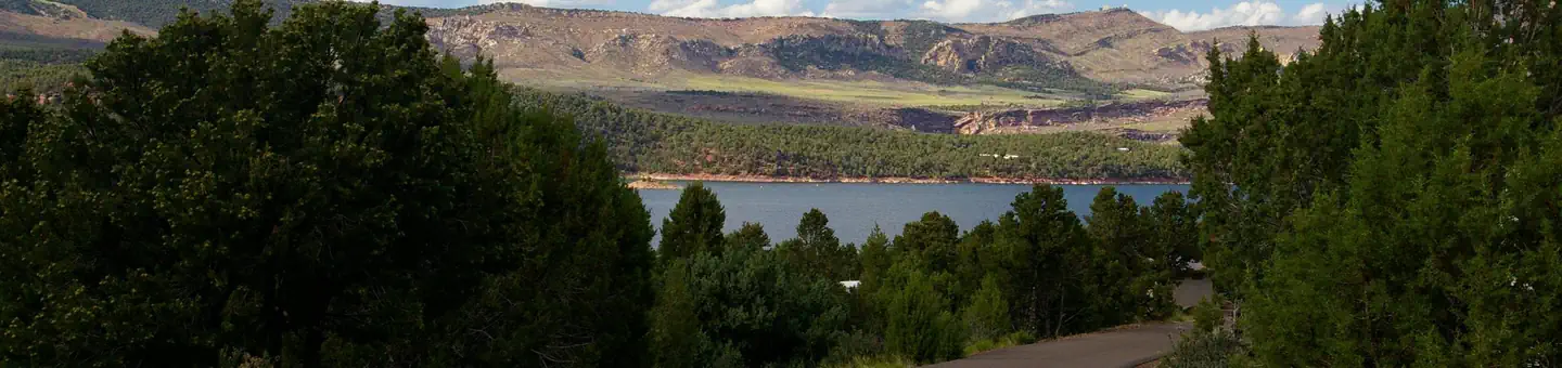
Deer Run Campground is located in the beautiful Flaming Gorge National Recreation Area on the Ashley National Forest at an elevation of 6,200 feet. Flaming Gorge Reservoir is less than a mile below the campground. Exciting recreational activities abound, including boating, water skiing and fishing.
Some sites take reservations on Recreation.gov. Others are first-come, first-served.
More like this: first-come in Utah · reservable in Utah · big rigs in Utah · pets allowed in Utah
Check availability on Recreation.gov ↗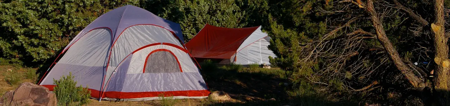

Site mix
| Standard, no hookups | 17 |
| RV, no hookups | 1 |
Site guide
Will my RV fit
The longest site here provides 45 feet of vehicle capacity. Most sites are shorter.
18 sites. Tap a filter to narrow the list; the map follows.
| Site | Type | Entry | Fits, ft | Surface | Shade | People / vehicles | Accessible |
|---|---|---|---|---|---|---|---|
| 001 | Standard | Back-in | 45 | Paved | Partial | 10 / 1 | |
| 002 | Standard | Pull-through | 45 | Gravel | Partial | 10 / 1 | |
| 003 | Standard | Back-in | 45 | Paved | Partial | 20 / 2 | |
| 004 | Standard | Back-in | 45 | Paved | Partial | 10 / 1 | |
| 005 | Standard | Back-in | 45 | Paved | Partial | 20 / 2 | |
| 006 | Standard | Back-in | 45 | Paved | Partial | 10 / 1 | |
| 007 | Standard | Pull-through | 45 | Paved | Full | 10 / 1 | |
| 008 | Standard | Back-in | 34 | Paved | Full | 10 / 1 | Yes |
| 009 | Standard | Back-in | 35 | Paved | Full | 10 / 1 | Yes |
| 010 | Standard | Back-in | 45 | Paved | Partial | 20 / 2 |
Per-site records as published by the managing agency on Recreation.gov. Blank cells mean the agency listed nothing for that site. Check-in 02:00 PM, checkout 11:00 AM.
Amenities & rules
| Hookups | None |
| Max vehicle length | 45 ft |
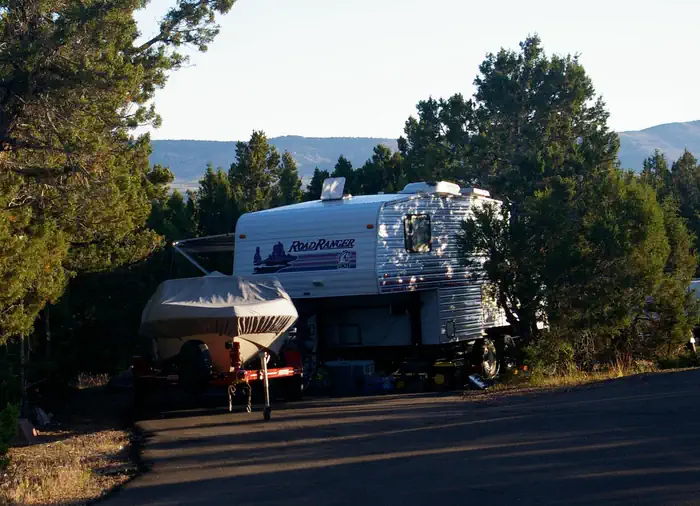
| Equipment | RVs & trailers, Tents |
| Pets | Allowed |
| Accessibility | Sites 008, 009 are listed accessible |
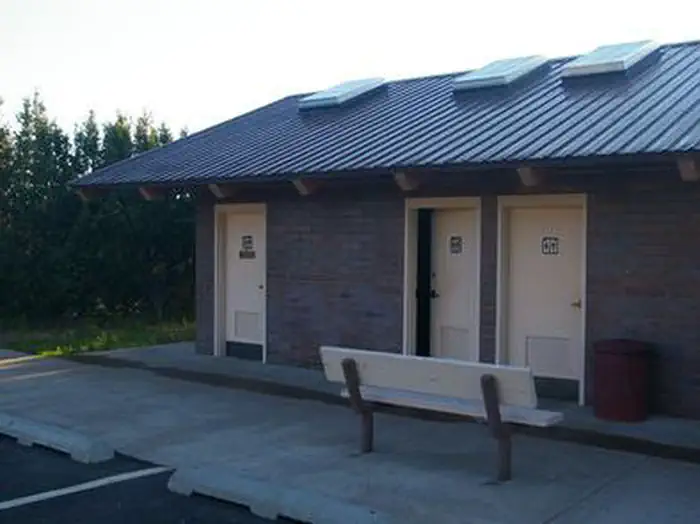
This small campground contains family campsites equipped with picnic tables and campfire rings. Flush toilets, showers and drinking water are provided. A dump station and marina are located in the immediate area at Cedar Springs. For larger groups, the nearby Arch Dam, Greendale, Dripping Springs, Antelope Flat and Dutch John Draw Campgrounds have several group sites available.
Individual sites vary. Confirm on Recreation.gov or with the managing office.
Season & status
| Season | April to October |
| Forest | Ashley National Forest |
| Booking | This site can be reserved by calling Toll Free 1-877-444-6777 (International 518-885-3639 or TDD 877-833-6777) or on-line at… |
| Fees | Showers are open to non-campers for a fee of $4. Sanitation station is open for a fee. Potable water is available. The single site fee covers the cost of 1 vehicle. Each single site's maximum capacity is 2 vehicles. |
Weather by month
Getting there
From Vernal, Utah, take U.S. 191 north 42 miles. Turn north onto Forest Road 183 and travel approximately 2 miles to the campground, adjacent to Cedar Springs Marina. From Manila, Utah, take Highway 44 for 28 miles. Turn left on U.S. 191 and go north for about 4 miles.
| Nearest town | Manila, Utah |
| Coordinates | 40.9072° N, 109.4433° W · Directions ↗ |
Fire nearby
- PrescribedD1 Pondo Rx
6 mi from the campground · 532 acres
- PrescribedHole In The Rock Rx
37 mi from the campground · 85 acres
- PrescribedMiddle Beaver Rx
39 mi from the campground · 50 acres
- PrescribedWestern Roughneck Rx
48 mi from the campground · 472 acres
Distance is to the reported incident point, not the fire edge. Call the managing office before you drive.
Supplies & services
| Dump station | Dump station ↗ | 0.2 mi |
| Outdoor gear | Redneck Archery and Pro Shop ↗ | 31.5 mi |
| RV sales & service | RV sales & service ↗ | 50.2 mi |
Locations © OpenStreetMap contributors. Call ahead; hours change seasonally.
Explore
Video
Deer Run Campground, April 2023 #camping
Worth a stop
Flaming Gorge Dam offers guided tours of the working hydroelectric plant and the dam, and the adjacent visitor center contains area history exhibits. The Green River below the dam provides spectacular rafting opportunities. A trip down the river offers unique geology, outlaw history and Native American rock art.
- 1.1 miSpillway Boat Launch Area ↗Boat launch
- 1.6 miSunny Cove Swim Beach ↗Swimming
- 8.3 miHighline Trailhead ↗Trailhead
- 9.9 miEast Park Junction Trailhead ↗Trailhead
- 12.2 miSheep Creek Boat Launch Area ↗Boat launch
- 13 mi
Trails nearby
- 0.3 miLowline Historic ↗6.8 mi trail · hiking, horse, bike
- 1.2 miLittle Hole ↗7.2 mi trail · hiking · national_recreation_or_other
- 1.3 miBear Canyon-Bootleg X-C Ski1.5 mi trail · snowshoe, ski
- 1.3 miBear Canyon-Bootleg1.5 mi trail · hiking, horse, bike
- 1.9 miDon Hatch Spur1.8 mi trail · snowmobile, snowshoe, ski
- 2.7 miSwett Ranch2.7 mi trail · hiking, horse, bike, e-bike
Trail and trailhead records are the Forest Service's. Distances are straight-line to the nearer trail end. Trail conditions are not tracked here.
Public land it sits in
Ashley National Forest begins about 12.4 miles away, and it is the closest of these.
- 12.4 miAshley National Forest ↗National Forest · Forest Service · 1,401,248 acres
Each unit is published as a centre point and an acreage rather than a boundary, so this section stands it in for a circle of the same area. Whether a campground is inside, and how far it is from one it is outside, are both approximate.
Other campgrounds nearby
Cabin and lookout rentals nearby
Natural features
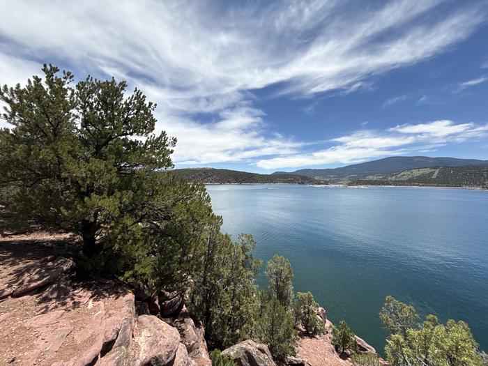
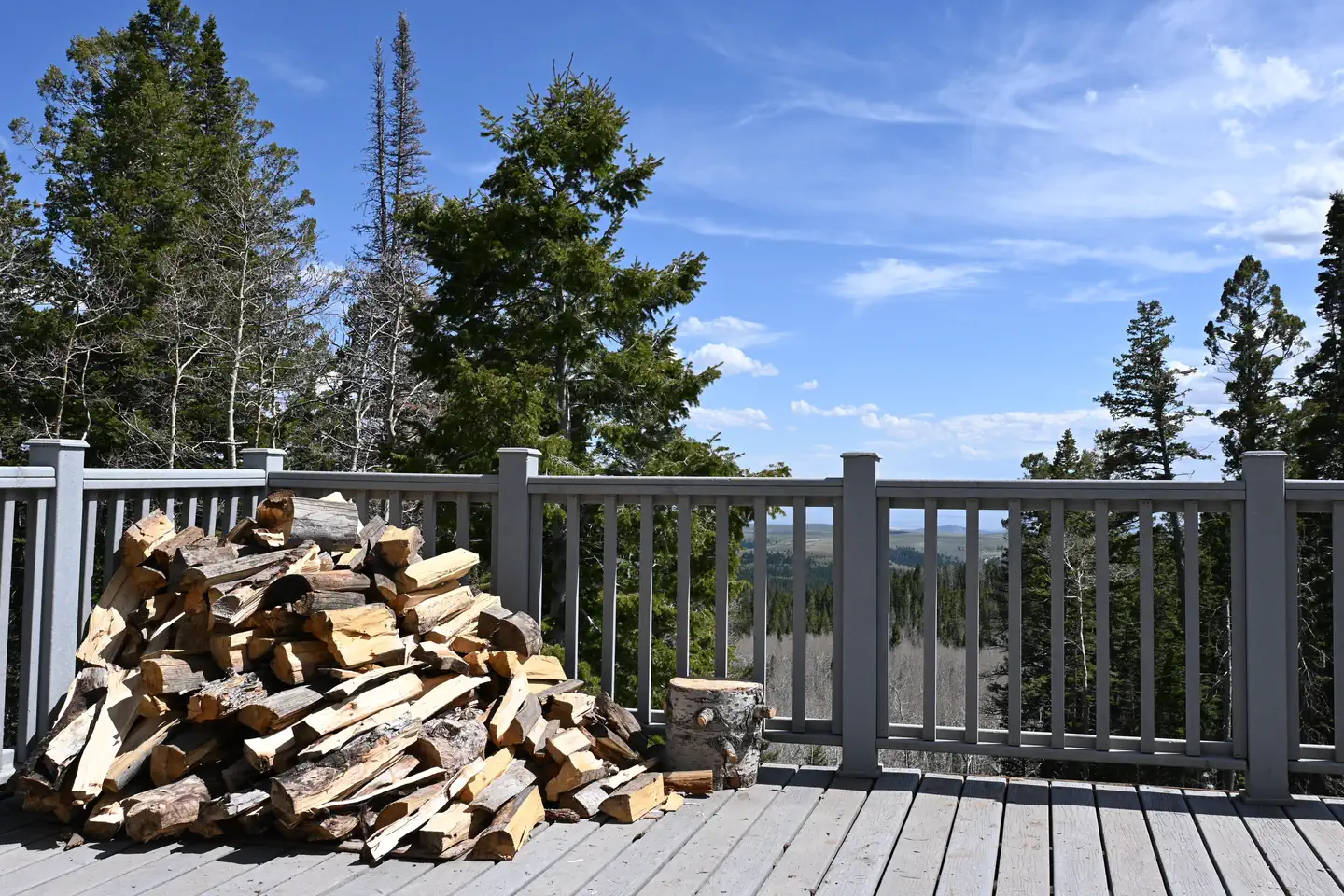
Deer Run is situated among juniper, pinyon pine and sagebrush above Flaming Gorge Reservoir. A resident deer herd gives this site its name.
Recreation
Flaming Gorge National Recreation Area is known not only for its beautiful red cliffs, but also for its world-class fishing for lake, brown and rainbow trout. Boating, water skiing, jet skiing, canoeing, kayaking, swimming and scuba diving are popular activities on the reservoir. Cedar Springs Marina is adjacent. Bear Canyon Trail, an easy 3-mile round-trip trail for hiking and mountain biking, begins nearby and leads to views of Red Canyon and Flaming Gorge.
Guidebooks for Utah
We earn a small commission if you buy through these links. It does not change what we list.


Titles come from Open Library's catalog, matched by subject heading or by title.
Reference
Questions people ask
Do I need a reservation at Deer Run Campground?
For some sites. Some sites take reservations on Recreation.gov. Others are first-come, first-served.
Source: Recreation.gov
How much does it cost to camp at Deer Run Campground?
Showers are open to non-campers for a fee of $4. Sanitation station is open for a fee. Potable water is available.
Source: Recreation.gov
What time is check-in at Deer Run Campground?
Check-in 02:00 PM, checkout 11:00 AM.
Source: Recreation.gov
How many sites does Deer Run Campground have?
18 sites, including 17 standard sites without power and 1 RV site without hookups.
Source: Recreation.gov
Will my RV fit at Deer Run Campground?
The longest site here provides 45 feet of vehicle capacity. Most sites are shorter. The sidebar tool checks a trailer or motorhome length against every site.
Source: Will my RV fit
Are there showers or a dump station at Deer Run Campground?
Flush toilets, showers and drinking water are provided.
Source: Recreation.gov
Are pets allowed at Deer Run Campground?
Yes, pets are allowed at Deer Run Campground. Leash rules apply.
Source: Recreation.gov
Are there accessible sites at Deer Run Campground?
Sites 008 and 009 are listed accessible on Recreation.gov. What that covers (a paved pad, an accessible table, a nearby accessible restroom) is on each site's booking page.
Source: Recreation.gov
Is there cell service at Deer Run Campground?
FCC coverage maps show AT&T 5G and T-Mobile 5G at the campground point. Terrain changes that from one site to the next.
Source: FCC Broadband Map
What is there to do at Deer Run Campground?
Flaming Gorge National Recreation Area is known not only for its beautiful red cliffs, but also for its world-class fishing for lake, brown and rainbow trout. The Recreation section on this page has the rest.
Source: Recreation
What is the nearest town to Deer Run Campground?
Manila, Utah. Flaming Gorge Dam offers guided tours of the working hydroelectric plant and the dam, and the adjacent visitor center contains area history exhibits.
Source: Getting there
What if Deer Run Campground is full?
The nearest public campgrounds are Cedar Springs Campground (0.4 mi, partly first-come), Firefighters Campground (1.1 mi, partly first-come), and Mustang Ridge Campground (1.3 mi, partly first-come).
Source: Campgrounds nearby