Lewis Canyon
Lewis Canyon is a large single-group campsite located in the scenic White Mountains region of eastern Arizona. With several amenities and activities, including hiking and horseshoes, the facility is great for family gatherings and other large groups.
More like this: reservable in Arizona · big rigs in Arizona · group sites in Arizona
Check availability on Recreation.gov ↗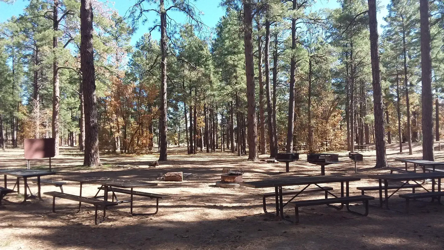
Site mix
| Group sites | 1 |
Site guide
Will my RV fit
The longest site here provides 45 feet of vehicle capacity. Most sites are shorter.
1 site. Tap a filter to narrow the list; the map follows.
| Site | Fits, ft | Surface | Shade | People / vehicles |
|---|---|---|---|---|
| 1 | 45 | Gravel | Full | 150 / 100 |
Per-site records as published by the managing agency on Recreation.gov. Blank cells mean the agency listed nothing for that site. Check-in 2:00 PM, checkout 1:00 PM.
Amenities & rules
| Hookups | None |
| Max vehicle length | 45 ft |
| Equipment | RVs & trailers, Tents |
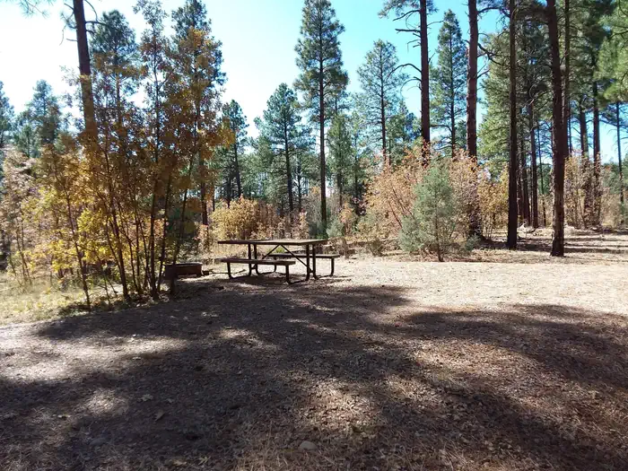
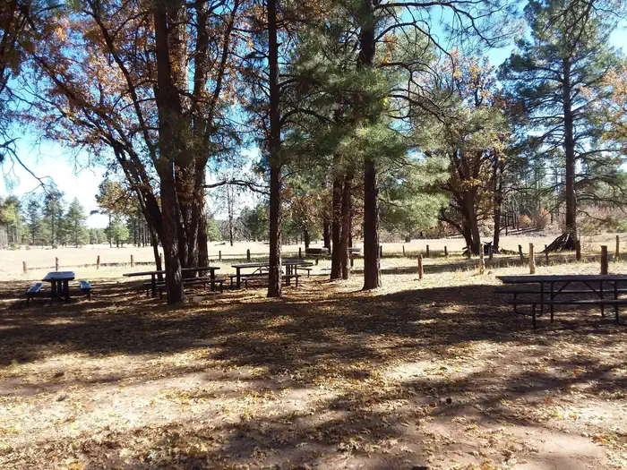
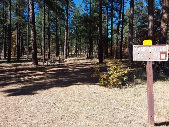
Lewis Canyon can accommodate up to 150 guests. The camping area is secluded, and is spaced around a large loop for the group to spread out. Vault toilets and a picnic area are provided.
Individual sites vary. Confirm on Recreation.gov or with the managing office.
Season & status
| Status | Open |
| Forest | Apache-Sitgreaves National Forest |
| Fees | Group non-electric $40 per night, 150 people. |
| Rules | RVs up to 45 feet in length. |
Weather by month
Getting there
Drive to Pinedale, Arizona, on State Highway 260, approximately 14 miles northwest of Show Low. Turn south on Forest Road 130 and continue approximately 2.3 miles to Junction 130A. Turn right to the group site, following the signs.
| Nearest town | Lakeside, Arizona |
| Coordinates | 34.2861° N, 110.2403° W · Directions ↗ |
Fire nearby
- PrescribedD7 Morgan Unit 5 Rx
8 mi from the campground · 2,085 acres
- PrescribedD7 Apprentice Rx
25 mi from the campground · 2,375 acres
- PrescribedD7 Rhoton Seep Rx
26 mi from the campground · 2,609 acres
- PrescribedD7 Brushy Mtn South Rx
27 mi from the campground · 887 acres
Distance is to the reported incident point, not the fire edge. Call the managing office before you drive.
Supplies & services
| Dump station | Dump station ↗ | 10 mi |
| Outdoor gear | Sportsman's Warehouse ↗ | 13.4 mi |
Locations © OpenStreetMap contributors. Call ahead; hours change seasonally.
Explore
Worth a stop
Visitors can explore vistas and take part in many outdoor activities in the surrounding Apache-Sitgreaves National Forest, which encompasses 2 million acres of magnificent mountain country in east-central Arizona and New Mexico.
- 7.8 miCottonwood Wash Trailhead ↗Trailhead
- 9.6 mi
Trails nearby
- 0.3 miJuniper Ridge ↗11.8 mi trail · hiking, horse, bike
- 0.4 miGeneral Crook Connector ↗6 mi trail · hiking, horse, bike
- 0.7 miJuniper Ridge Shortcut1.1 mi trail · hiking, horse, bike
- 3 miLookout Connector3.7 mi trail · hiking, horse, bike
- 3.4 miCottonwood ↗7 mi trail · hiking, horse, bike
- 3.8 miGhost of the Coyote Shortcut0.4 mi trail · hiking, horse, bike
Trail and trailhead records are the Forest Service's. Distances are straight-line to the nearer trail end. Trail conditions are not tracked here.
Other campgrounds nearby



On the National Register nearby
- Pinedale Elementary SchoolBuilding · Pinedale · 1.3 mi
- Deer Springs Lookout ComplexStructure · Mogollon Rim · 10.4 mi
- Abner Ellsworth HouseBuilding · Show Low · 12 mi
Natural features
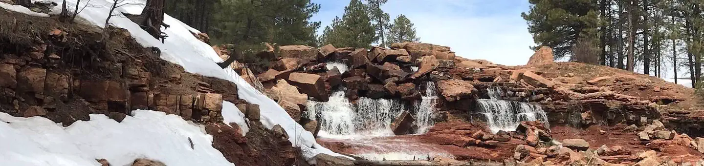
Lewis Canyon Campground is located in a beautiful ponderosa pine setting with a large open field nearby. It sits at an elevation of approximately 6,600 feet in the Sitgreaves National Forest. Wildlife including turkey, elk and mule deer are often seen nearby. Summer temperatures can be very pleasant because of the elevation. However, the summer monsoon season often brings afternoon thunderstorms from late June through August. Visitors should come prepared for rain and cool nighttime temperatures.
Recreation
A variety of recreation opportunities are available from the campground, with access to the beautiful and extensive White Mountain Trail System for hiking and mountain biking. Numerous Forest Service Roads nearby can accomodate OHV enthusiasts on a variety of terrain.
Guidebooks for Arizona
We earn a small commission if you buy through these links. It does not change what we list.
- Best Backpacking Trips in Utah, Arizona, and New MexicoMike White and Douglas Lorain, 2016Find at Bookshop.org
Titles come from Open Library's catalog, matched by subject heading or by title.
Reference
Questions people ask
Do I need a reservation at Lewis Canyon?
Sites at Lewis Canyon are reservable on Recreation.gov. Any walk-up sites are listed on the booking page.
Source: Recreation.gov
How much does it cost to camp at Lewis Canyon?
Group non-electric $40 per night, 150 people.
Source: Recreation.gov
What time is check-in at Lewis Canyon?
Check-in 2:00 PM, checkout 1:00 PM.
Source: Recreation.gov
Is Lewis Canyon open right now?
Open as of Oct 16, 2026.
Source: Forest Service status
How many sites does Lewis Canyon have?
1 site, including 1 group site.
Source: Recreation.gov
Will my RV fit at Lewis Canyon?
The longest site here provides 45 feet of vehicle capacity. Most sites are shorter. The sidebar tool checks a trailer or motorhome length against every site.
Source: Will my RV fit
What is there to do at Lewis Canyon?
A variety of recreation opportunities are available from the campground, with access to the beautiful and extensive White Mountain Trail System for hiking and mountain biking. The Recreation section on this page has the rest.
Source: Recreation
What is the nearest town to Lewis Canyon?
Lakeside, Arizona. Visitors can explore vistas and take part in many outdoor activities in the surrounding Apache-Sitgreaves National Forest, which encompasses 2 million acres of magnificent mountain country in east-central Arizona and New Mexico.
Source: Getting there
What if Lewis Canyon is full?
The nearest public campgrounds are Gentry Group Campground (4.3 mi), Fool Hollow Lake Recreation Area Campground (10.3 mi, first-come), and Brown Creek Campground (26.7 mi, first-come).
Source: Campgrounds nearby