Thunder Ridge
Thunder Ridge Campground, located above the Rampart Reservoir, is one of two campgrounds within the Rampart Reservoir Recreation Area. The campground overlooks the reservoir, which is popular for fishing. Boating and hiking are also common activities for campers here. The campground is located on the Front Range of the Rocky Mountains, due north of the popular Pikes Peak. The peak has an altitude of 14,110 feet and is America's easternmost peak reaching over 14,000 feet.
More like this: reservable in Colorado · big rigs in Colorado · pets allowed in Colorado
Check availability on Recreation.gov ↗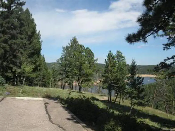
Site mix
| Standard, no hookups | 20 |
| Host/management | 1 |
Site guide
Will my RV fit
The longest site here provides 60 feet of vehicle capacity. Most sites are shorter.
20 sites. Tap a filter to narrow the list; the map follows.
| Site | Entry | Fits, ft | Surface | Shade | Water / sewer | People / vehicles | Fires | Accessible |
|---|---|---|---|---|---|---|---|---|
| 001 | Back-in | 15 | Gravel | Partial | No / No | 8 / 2 | Yes | |
| 002 | Back-in | 25 | Paved | Partial | No / No | 8 / 2 | Yes | |
| 003 | Back-in | 32 | Paved | Partial | No / No | 8 / 2 | Yes | |
| 004 | Back-in | 28 | Paved | Partial | No / No | 8 / 2 | Yes | |
| 005 | Back-in | 40 | Paved | Partial | No / No | 8 / 2 | Yes | |
| 007 | Pull-through | 40 | Paved | Partial | No / No | 8 / 2 | Yes | Yes |
| 008 | Back-in | 20 | Paved | Partial | No / No | 8 / 2 | Yes | Yes |
| 009 | Back-in | 30 | Paved | Partial | No / No | 8 / 2 | Yes | |
| 010 | Pull-through | 35 | Paved | Partial | No / No | 8 / 2 | Yes | |
| 011 | Pull-through | 35 | Paved | Partial | No / No | 8 / 2 | Yes |
Per-site records as published by the managing agency on Recreation.gov. Blank cells mean the agency listed nothing for that site. Check-in 2:00 PM, checkout 12:00 PM.
Amenities & rules
| Hookups | None |
| Max vehicle length | 60 ft |
| Equipment | RVs & trailers, Tents |
| Pets | Allowed |
| Campfires | Allowed, subject to restrictions |
| Accessibility | Sites 007, 008, 021 are listed accessible |
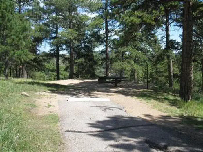
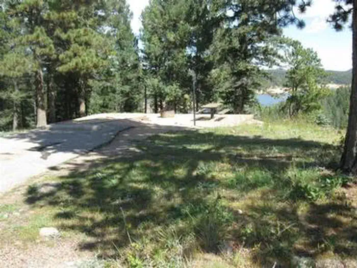
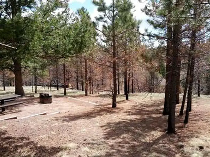
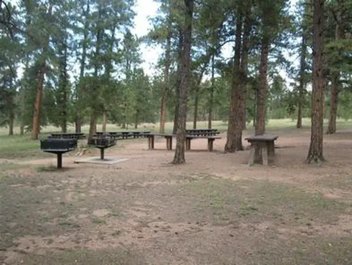
Three campsites and two of the vault toilets meet current accessibility standards. Most remaining sites have steps that lead below the road level to the site picnic table and campfire ring. Drinking water is provided and each site comes with a picnic table and campfire ring. Firewood can be purchased on-site.
Individual sites vary. Confirm on Recreation.gov or with the managing office.
Season & status
| Status | Closed for the season. Forest Service sites close for the season; check the official page for the reopening date. |
| Season | May to October |
| Forest | Pike-San Isabel National Forests |
| Fees | $28.00 fee per site for overnight camping. Two vehicles or one RV per site is included in the camping fee. $11.00 for a third vehicle. $11.00 fee for day use if not camping overnight. Fees are payable by cash, check or money order. Self-servicing fee tube is available. |
| Rules | Dogs must be leashed at all times. Horses are not permitted on trails. No discharge of firearms or fireworks. Only licensed vehicles can operate inside campground. Camping is not allowed behind a locked gate. |
Weather by month
Getting there
From the I-25 and Hwy 24 intersection in Colorado Springs, Colorado, travel west on Highway 24 for 17.4 miles to Baldwin St. in Woodland Park. Turn right (north) on Baldwin (which turns into Rampart Range Road). Travel approximately 3 miles to Loy Creek Road, turn right at the Y, and travel 1.5 miles to Rampart Range Road (Forest Road 300).
| Nearest town | Colorado Springs, Colorado |
| Coordinates | 38.9767° N, 104.9831° W · Directions ↗ |
Charges and cancellations
Cancellations Individual Campsites: Cancellations up to 2 days before a reservation start date incur a $10.00 cancellation fee. A visitor who cancels a reservation the day before or on the day of arrival will pay a $10.00 service fee AND forfeit the first night's use fee including tax and applicable add-on for a campsite. Cancellations for a one-night reservation will forfeit the entire amount paid and will not be subject to an additional service fee. No-Shows A no-show visitor is one who does not arrive at a campground and does not cancel the reservation by check-out time on the day after the scheduled arrival date. Staff will hold a campsite until check-out time on the day following the arrival date. No-shows are assessed $20.00 service fee and forfeit the first night's rate, taxes and applicable add-on for a campsite. Refunds will not be issued after the 7 days has ended. Refunds for debit or credit card payments will be issued as a credit to the original bank or credit card used to pay.
Fire nearby
- PrescribedRainbow Gulch Rx
under 1 mi from the campground · 912 acres
- PrescribedO'Brien 2 Broadcast Rx
22 mi from the campground · 267 acres
- PrescribedHarris Park Broadcast Rx
47 mi from the campground · 390 acres
Distance is to the reported incident point, not the fire edge. Call the managing office before you drive.
Supplies & services
| Outdoor gear | South Platte Fly Shop ↗ | 3.6 mi |
| Dump station | Dump station ↗ | 4.1 mi |
| RV sales & service | RVs of America Off-Road ↗ | 15.5 mi |
Locations © OpenStreetMap contributors. Call ahead; hours change seasonally.
Explore
Video
Camping Around Colorado Springs - Thunder Ridge Campground 2024
Worth a stop
The U.S. Air Force Academy in Colorado Springs offers tours, and a visit to the quaint town of Green Mountain Falls makes a great day trip.
- 0.6 miPromontory Picnic Area ↗Day use
- 0.9 miHomestake Fishing Site ↗Fishing site
- 6.8 miHalfway Picnic Area ↗Day use
Trails nearby
- 0.5 miRainbow Gulch1.4 mi trail · hiking, horse, bike
- 0.9 miRampart Reservoir ↗10.8 mi trail · hiking, horse, bike
- 1 miSchubarth Spur1 mi trail · hiking, horse, bike
- 1.3 miBackdoor0.9 mi trail · hiking, horse, bike
- 1.3 miNichols Reservoir2.2 mi trail · hiking, horse, bike
- 1.7 miStanley Rim1.8 mi trail · hiking, horse, bike
Trail and trailhead records are the Forest Service's. Distances are straight-line to the nearer trail end. Trail conditions are not tracked here.
Other campgrounds nearby

On the National Register nearby
- Crystola BridgeStructure · Crystola · 2.8 mi
- EastholmeBuilding · Cascade · 5.5 mi
- Pioneer CabinBuilding · Colorado Springs · 6.9 mi
Natural features
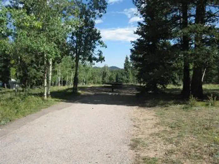
The campground overlooks the Rampart Reservoir in a ponderosa pine forest at an altitude of 9,200 feet. The surrounding terrain includes a mix of grass meadows, spruce, Douglas fir and aspen.
Recreation
Rainbow and mackinaw trout are plentiful in the reservoir and hikers can enjoy the trails in the area. Rampart Reservoir Trail is nearby. Rampart Reservoir Trail extends for 14 miles and is open to hiking and mountain biking.
Guidebooks for Colorado
We earn a small commission if you buy through these links. It does not change what we list.



Titles come from Open Library's catalog, matched by subject heading or by title.
Reference
Questions people ask
Do I need a reservation at Thunder Ridge?
Sites at Thunder Ridge are reservable on Recreation.gov. Any walk-up sites are listed on the booking page.
Source: Recreation.gov
How much does it cost to camp at Thunder Ridge?
$28.00 fee per site for overnight camping. Two vehicles or one RV per site is included in the camping fee. $11.00 for a third vehicle.
Source: Recreation.gov
What time is check-in at Thunder Ridge?
Check-in 2:00 PM, checkout 12:00 PM.
Source: Recreation.gov
What does it cost to cancel a reservation at Thunder Ridge?
Cancellations Individual Campsites: Cancellations up to 2 days before a reservation start date incur a $10.00 cancellation fee.
Source: Charges and cancellations
Is Thunder Ridge open right now?
Closed for the season as of Oct 16, 2026. Season May to October.
Source: Forest Service status
How many sites does Thunder Ridge have?
21 sites, including 20 standard sites without power.
Source: Recreation.gov
Will my RV fit at Thunder Ridge?
The longest site here provides 60 feet of vehicle capacity. Most sites are shorter. The sidebar tool checks a trailer or motorhome length against every site.
Source: Will my RV fit
Are pets allowed at Thunder Ridge?
Yes, pets are allowed at Thunder Ridge. Leash rules apply.
Source: Recreation.gov
Can I have a campfire at Thunder Ridge?
Fires are allowed in the provided rings under normal conditions. As of 2026-10-16, there are 3 active fires within 50 miles, so check current restrictions before you light one. Dogs must be leashed at all times.
Source: Fire nearby
Are there accessible sites at Thunder Ridge?
Sites 007, 008, and 021 are listed accessible on Recreation.gov. What that covers (a paved pad, an accessible table, a nearby accessible restroom) is on each site's booking page.
Source: Recreation.gov
What is there to do at Thunder Ridge?
Rainbow and mackinaw trout are plentiful in the reservoir and hikers can enjoy the trails in the area. The Recreation section on this page has the rest.
Source: Recreation
What is the nearest town to Thunder Ridge?
Colorado Springs, Colorado. The U.S.
Source: Getting there