Oreville Campground
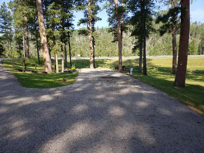
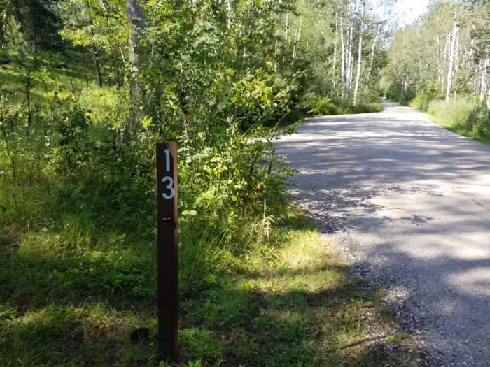
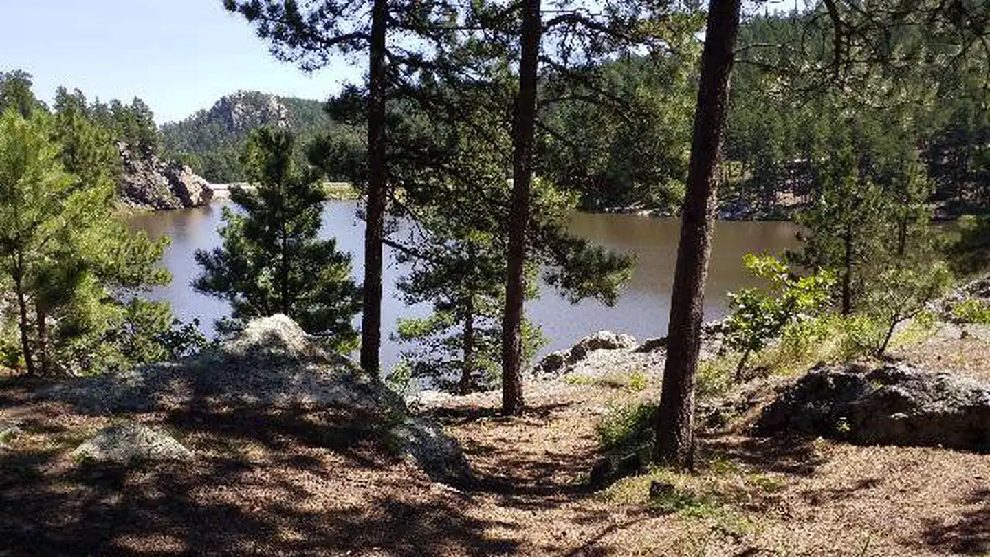
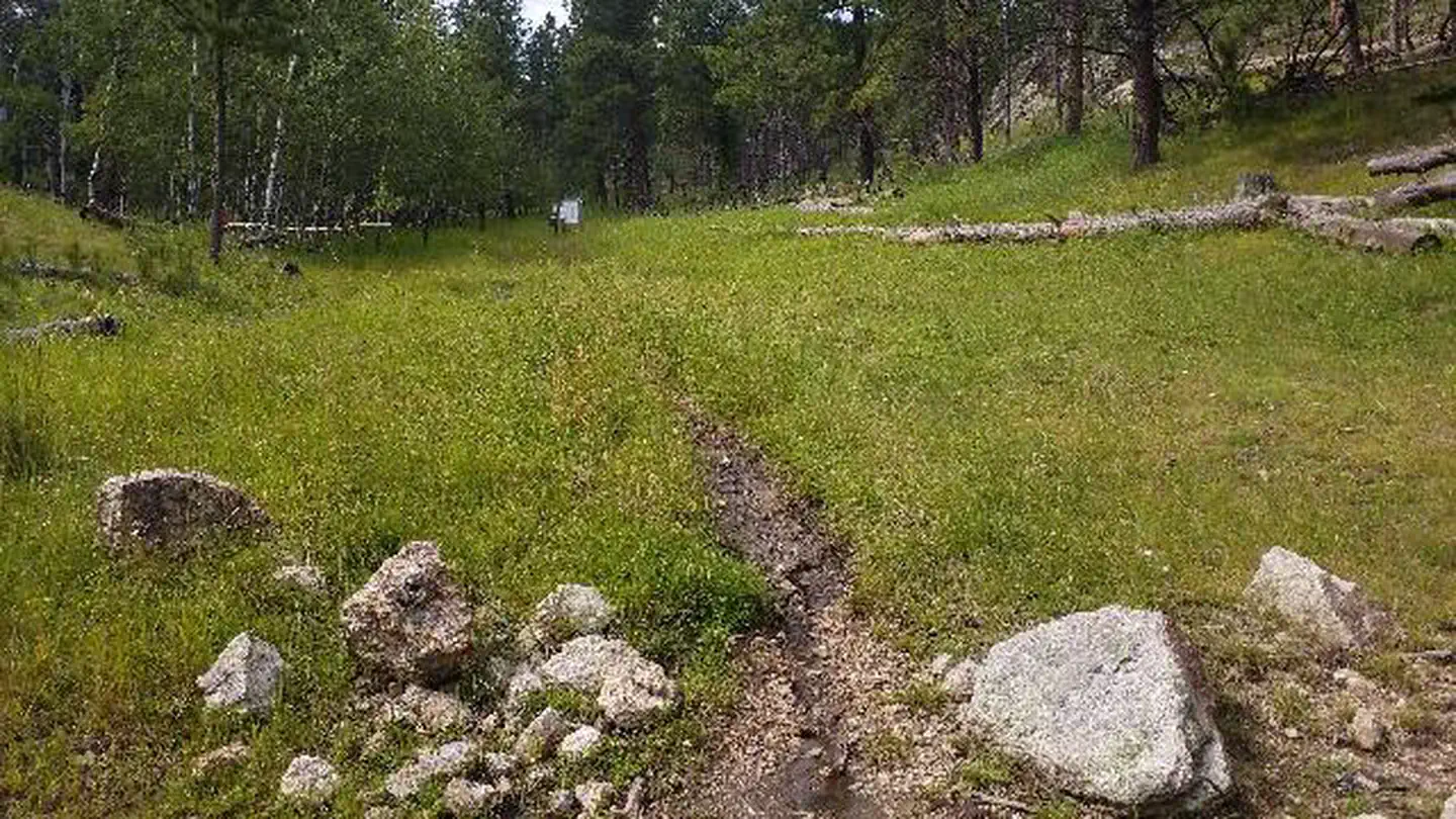
Located 4 miles south of Hill City, South Dakota, Oreville Campground is a delightful setting for guests seeking recreation and relaxation in Black Hills National Forest. The sites are nestled on a hillside among aspen groves, towering ponderosa pines, and grassy areas. Many of the campsites are spacious, offering guests a sense of privacy. The campground is centrally located along Highway 16/385 just north of Crazy Horse Monument with easy access to most Black Hills attractions.
More like this: reservable in South Dakota · big rigs in South Dakota · pets allowed in South Dakota
Check availability on Recreation.gov ↗

Site mix
| Standard, no hookups | 16 |
| Host/management | 10 |
Site guide
Will my RV fit
The longest site here provides 99 feet of vehicle capacity. Most sites are shorter.
16 sites. Tap a filter to narrow the list; the map follows.
| Site | Entry | Fits, ft | Surface | People / vehicles | Fires |
|---|---|---|---|---|---|
| 003 | Back-in | 49 | Gravel | 8 / 2 | Yes |
| 004 | Back-in | 46 | Gravel | 8 / 2 | Yes |
| 005 | Back-in | 59 | Gravel | 8 / 2 | Yes |
| 006 | Back-in | 55 | Gravel | 8 / 2 | Yes |
| 007 | Pull-through | Gravel | 8 / 2 | Yes | |
| 008 | Back-in | 78 | Gravel | 8 / 2 | Yes |
| 009 | 75 | Gravel | 8 / 2 | Yes | |
| 010 | Back-in | 72 | Gravel | 8 / 2 | Yes |
| 011 | Back-in | 71 | Gravel | 8 / 2 | Yes |
| 012 | Back-in | 82 | Gravel | 8 / 2 | Yes |
Per-site records as published by the managing agency on Recreation.gov. Blank cells mean the agency listed nothing for that site. Check-in 2:00 PM, checkout 1:00 PM.
Amenities & rules
| Hookups | None |
| Max vehicle length | 99 ft |
| Equipment | RVs & trailers, Tents |
| Pets | Allowed |
| Campfires | Allowed, subject to restrictions |
Oreville Campground has sites able to accommodate tents, trailers, and RVs. The campground has picnic tables, campfire rings, vault toilets, and drinking water. Electrical hook-ups are not available.
Individual sites vary. Confirm on Recreation.gov or with the managing office.
Season & status
| Status | Closed for the season. Forest Service sites close for the season; check the official page for the reopening date. |
| Forest | Black Hills National Forest |
| Fees | Regular Season: $26/night --- See Off-Season Information |
Weather by month
Getting there
In Hill City, SD, at intersection of East Main St. (US Rt. 16) and Deerfield Rd. (County Rt. 308), take US Rt. 16 south 5.2 miles to campground sign. Turn left at sign into campground.
| Coordinates | 43.8747° N, 103.6144° W · Directions ↗ |
Charges and cancellations
No refunds will be given for weather or related events.
Supplies & services
| Outdoor gear | High Mountain Outfitters ↗ | 7.5 mi |
| Dump station | Dump station ↗ | 14.7 mi |
| RV sales & service | Jack's Campers ↗ | 28.7 mi |
Locations © OpenStreetMap contributors. Call ahead; hours change seasonally.
Explore
Video
Oreville Campground - Black Hills National Forest, SD
Worth a stop
Nearby Jewel Cave is the second longest cave in the world at 159.29 miles. It features sparkling calcite crystals and other rare formations, as well as some of the largest concentrations of passageways in the world. Other possible day trips include Mount Rushmore National Memorial, Custer State Park, Crazy Horse Monument and Wind Cave National Park.
- 3.1 mi
- 4.2 miWillow Creek Trailhead ↗Trailhead
- 7.1 miBreezy Point Picnic Area ↗Day use
- 9.2 miSheridan South Picnic Area ↗Day use
- 14.4 miPactola South Boat Launch ↗Boat launch
- 14.7 miJewel Cave National Monument - Visitor Center ↗Visitor center
Trails nearby
- 2.3 miSunday Gulch0.3 mi trail · hiking, horse, bike
- 2.5 miKoa 241.2 mi trail · hiking, horse, bike, motorcycle and 1 more
- 2.5 miKoa 250.4 mi trail · hiking, horse, bike, motorcycle and 2 more
- 2.8 miNewton 331.1 mi trail · hiking, horse, bike, motorcycle and 3 more
- 2.8 miLost Cabin #2 ↗5 mi trail · hiking, horse, bike
- 3 miKoa 180.7 mi trail · hiking, horse, bike, motorcycle and 1 more
Trail and trailhead records are the Forest Service's. Distances are straight-line to the nearer trail end. Trail conditions are not tracked here.
Public land it sits in
This campground sits inside Black Hills National Forest.
- inBlack Hills National Forest ↗National Forest · Forest Service · 1,537,116 acres
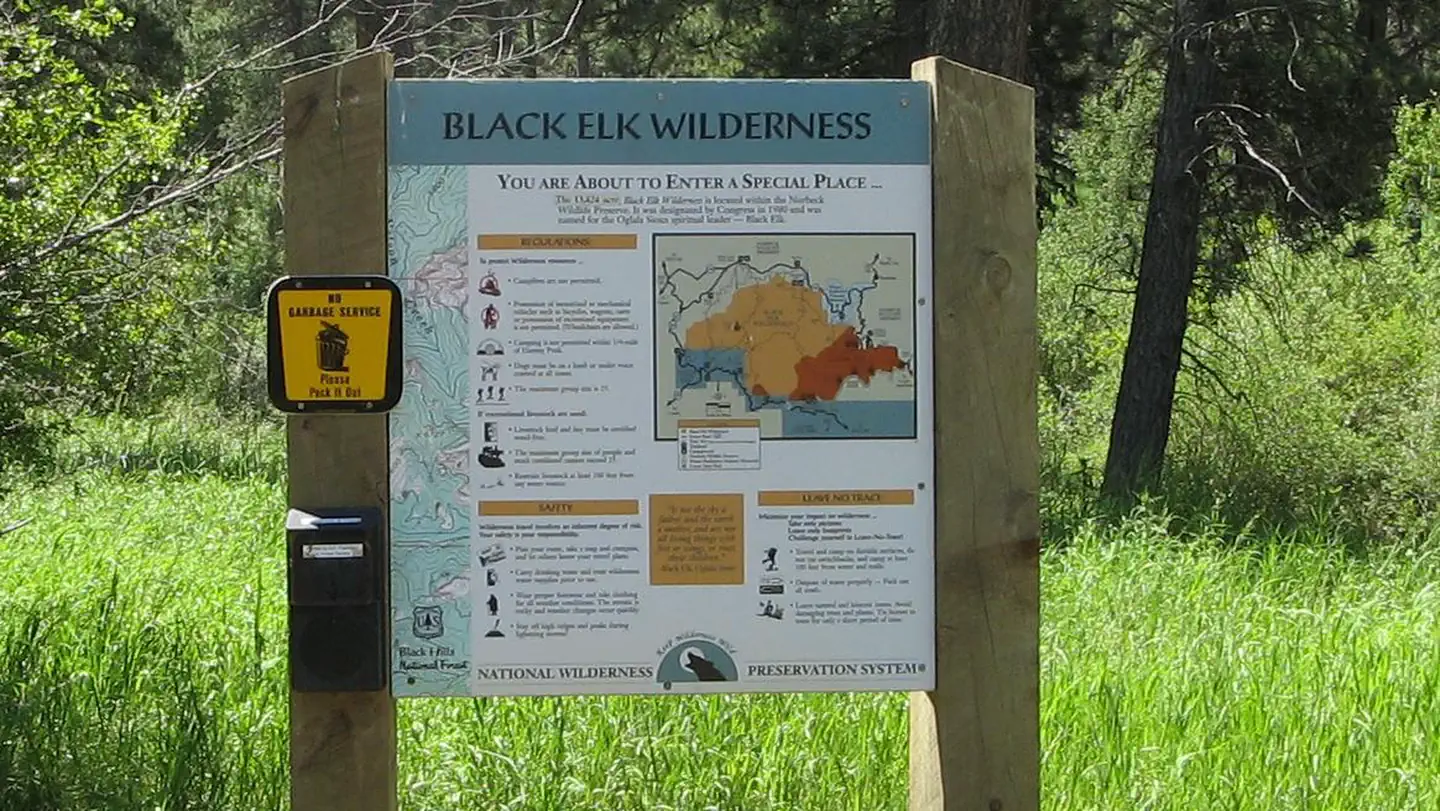
- 3.6 miBlack Elk Wilderness ↗Wilderness · Forest Service · 13,534 acres
Each unit is published as a centre point and an acreage rather than a boundary, so this section stands it in for a circle of the same area. Whether a campground is inside, and how far it is from one it is outside, are both approximate.
Other campgrounds nearby
Cabin and lookout rentals nearby
On the National Register nearby
- Dam Harney Peak Lookout Tower Pumphouse and StairwaySite · Custer · 4.1 mi
- Von Woehrmann BuildingBuilding · Hill City · 4.2 mi
- C. E. McEachron General MerchandiseBuilding · Hill City · 4.3 mi
Natural features
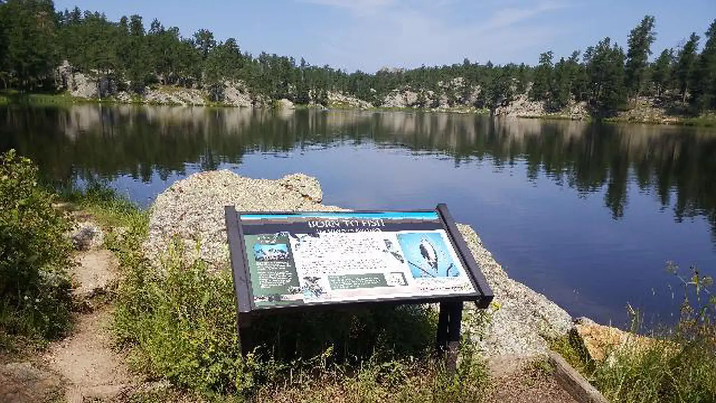
Located in western South Dakota and northeastern Wyoming, Black Hills National Forest encompasses nearly 1.25 million acres of rugged rock formations, canyons and gulches, open grassland parks, tumbling streams, deep blue lakes, and unique caves. Derived from the Lakota language, the words "Paha Sapa," meaning "hills that are black," honor the dark, pine-covered hills rising several thousand feet above the surrounding prairie. Wildlife in the area abounds. Bighorn sheep navigate mountainous terrain, while elk, deer and pronghorn gather in forests and prairies. Bald eagles, hawks, osprey, peregrine falcon, and hundreds of other bird species can be found in the forest, especially along streams, lakes and rivers.
Recreation
The forest offers recreation opportunities for all ages and abilities. Guests can take advantage of opportunities for hiking, fishing, horseback riding, mountain biking, and riding off-highway vehicles (OHVs) on moderate terrain. Hundreds of miles of trails and roads offer a variety of terrain for mountain bikers. Hikers and bikers can access the nearby George S. Mickelson Trail, which traverses over 100 miles through the heart of the Black Hills. The majority of the trail follows an abandoned railroad branch line and includes 4 tunnels, over 100 converted railroad bridges, and 15 established trailheads. The trail surface is packed gravel, traversing mountain, meadow, and forest terrain. The trail is named in honor of the former South Dakota governor who crusaded for the trail. For those seeking higher elevations, a day-long trek to the summit of nearby Black Elk Peak is worth the effort. Black Elk Peak is the highest natural point in the United States east of the Rocky Mountains. Most of the summit is bare granite and offers expansive views of the surrounding area. An old stone tower at the top(Harney Lookout Tower), once used as a fire lookout, is still open to hikers.
Guidebooks for South Dakota and camping across the country
We earn a small commission if you buy through these links. It does not change what we list.
Titles come from Open Library's catalog, matched by subject heading or by title.
Reference
Questions people ask
Do I need a reservation at Oreville Campground?
Sites at Oreville Campground are reservable on Recreation.gov. Any walk-up sites are listed on the booking page.
Source: Recreation.gov
How much does it cost to camp at Oreville Campground?
Regular Season: $26/night --- See Off-Season Information
Source: Recreation.gov
What time is check-in at Oreville Campground?
Check-in 0:00 AM, checkout 0:00 AM.
Source: Recreation.gov
Is Oreville Campground open right now?
Closed for the season as of Oct 16, 2026.
Source: Forest Service status
How many sites does Oreville Campground have?
26 sites, including 16 standard sites without power.
Source: Recreation.gov
Will my RV fit at Oreville Campground?
Recreation.gov lists no practical vehicle capacity limit for the largest site here, which usually means pull-through or open parking. The sidebar tool checks a trailer or motorhome length against every site.
Source: Will my RV fit
Are pets allowed at Oreville Campground?
Yes, pets are allowed at Oreville Campground. Leash rules apply.
Source: Recreation.gov
Can I have a campfire at Oreville Campground?
Fires are allowed in the provided rings under normal conditions.
Source: Recreation.gov
What is there to do at Oreville Campground?
The forest offers recreation opportunities for all ages and abilities. The Recreation section on this page has the rest.
Source: Recreation
What if Oreville Campground is full?
The nearest public campgrounds are Willow Creek Horse Camp (4.4 mi), Horsethief Lake Campground (6.6 mi), and Iron Creek Horse Camp (8 mi).
Source: Campgrounds nearby