Five Springs Falls Campground
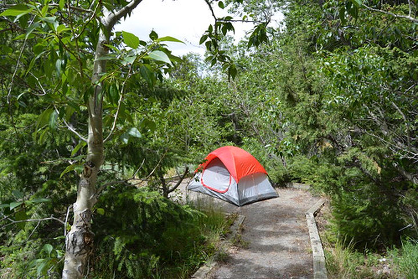
Five Springs Falls Campground provides an excellent opportunity for camping, hiking, picnicking, and sightseeing. The elevation ranges from 6,520 feet at the campground to 7,240 feet at the forest boundary. This area offers breathtaking views of northern Bighorn Basin with a panoramic view of the Bighorn, Pryor, and Absaroka Mountains. Wildlife in the area include deer, elk, moose, black bear, and mountain lion. The lower loop of the campground contains 9 campsites with tent pads, fire rings, picnic tables, and a central toilet facility.
More like this: first-come in Wyoming
active
Amenities & rules
| Fees | There are no reservations and the campground is first come first serve. |
Individual sites vary. Confirm on Recreation.gov or with the managing office.
Weather by month
Getting there
Travel 22 miles east on U.S. Highway 14A from Lovell, and turn left at the Five Springs Falls Campground sign. Travel this steep, narrow access road for two miles to the lower loop of the campground (not suitable for recreational vehicles over 25 ft. in length). The road continues to the upper loop, which contains additional sites.
| Nearest town | Cody, Wyoming |
| Coordinates | 44.8056° N, 107.9703° W · Directions ↗ |
Fire nearby
- WildfirePk
37 mi from the campground · 1,645 acres · 85% contained
Distance is to the reported incident point, not the fire edge. Call the managing office before you drive.
Supplies & services
| Dump station | Dump station ↗ | 18.1 mi |
Locations © OpenStreetMap contributors. Call ahead; hours change seasonally.
Explore
Worth a stop
- 6.5 miCottonwood Creek Trailhead ↗Trailhead
- 7.3 miLittle Bighorn West Trailhead ↗Trailhead
Trails nearby
- 0.3 miOld Highway3.3 mi trail · hiking, horse, bike
- 2.5 miTillets Hole1.8 mi trail · hiking, horse, bike
- 4.1 miPetes Hole3.1 mi trail · hiking, horse, bike
- 4.4 miMayland2.8 mi trail · hiking, horse, bike
- 4.4 miPorcupine Falls0.4 mi trail · hiking, bike
Trail and trailhead records are the Forest Service's. Distances are straight-line to the nearer trail end. Trail conditions are not tracked here.
Public land it sits in
Bighorn National Forest begins about 11.3 miles away, and it is the closest of these.
- 11.3 miBighorn National Forest ↗National Forest · Forest Service · 1,112,948 acres
Each unit is published as a centre point and an acreage rather than a boundary, so this section stands it in for a circle of the same area. Whether a campground is inside, and how far it is from one it is outside, are both approximate.
Other campgrounds nearby


On the National Register nearby
- M L RanchBuilding · Lovell · 9.4 mi
Guidebooks for Wyoming
We earn a small commission if you buy through these links. It does not change what we list.
Titles come from Open Library's catalog, matched by subject heading or by title.
Reference
Questions people ask
Do I need a reservation at Five Springs Falls Campground?
No. Five Springs Falls Campground is first-come, first-served. Sites are taken on arrival and paid at the fee station.
Source: How first-come camping works
How much does it cost to camp at Five Springs Falls Campground?
There are no reservations and the campground is first come first serve.
Is there cell service at Five Springs Falls Campground?
FCC coverage maps show AT&T 4G LTE at the campground point. Terrain changes that from one site to the next.
Source: FCC Broadband Map
What is the nearest town to Five Springs Falls Campground?
Cody, Wyoming.
Source: Getting there
What if Five Springs Falls Campground is full?
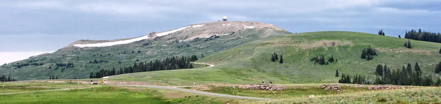
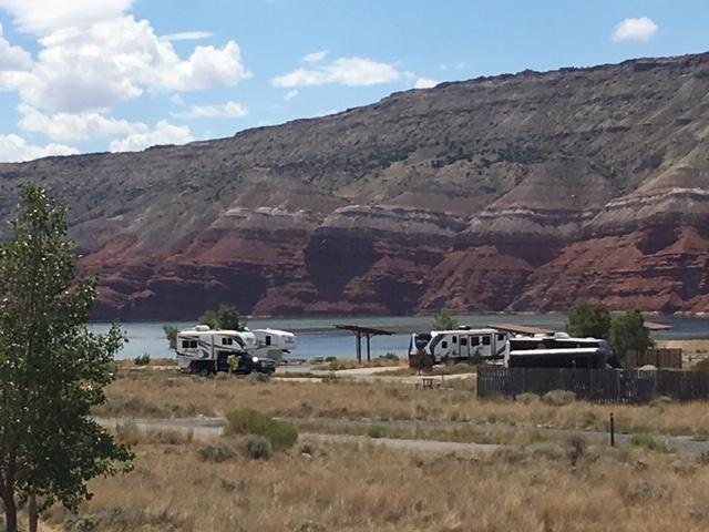
The nearest public campgrounds are Bald Mountain Campground (5.4 mi), Porcupine Campground (5.8 mi), and Cottonwood Creek Campground (6.7 mi, first-come).
Source: Campgrounds nearby