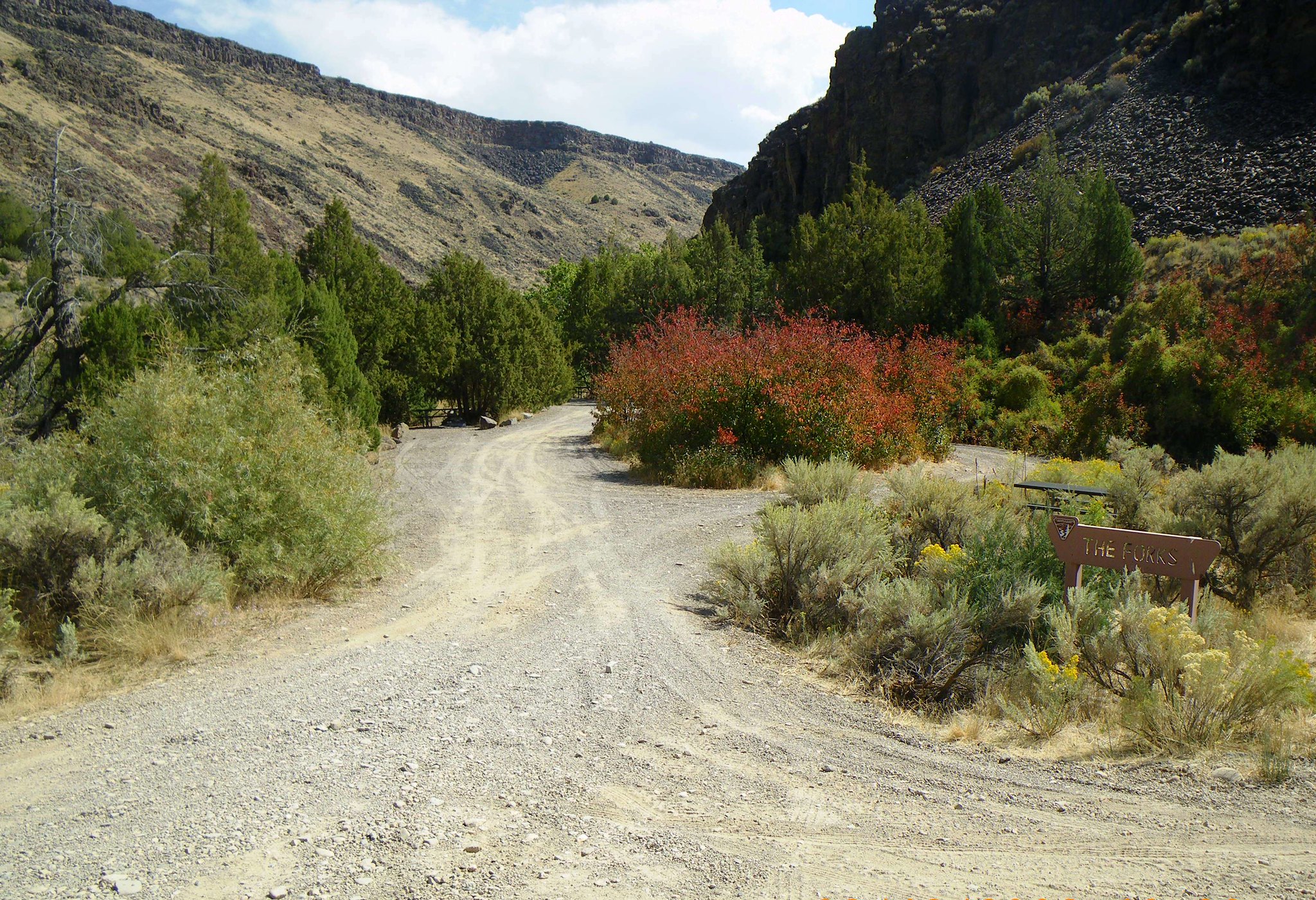
The Forks Campground
This small campground is located on the East Fork of the Jarbidge Wild and Scenic River about two miles north of Murphy Hot Springs across from the Jarbidge River Put-in. Two-wheel drive vehicles are sufficient to reach the site.
More like this: first-come in Idaho · free in Idaho
Amenities & rules
| Fees | No fees. |
| Stay limit | 14 Days |
Individual sites vary. Confirm on Recreation.gov or with the managing office.
Weather by month
Getting there
Travel to Murphy Hot Springs via the Bruneau-Three Creek Road or the Jarbidge Road. The Jarbidge Road, also called Three Creek Highway, has an asphalt surface and originates from U.S. 93 at Rogerson, Idaho. From Rogerson to Murphy Hot Springs it is 49 miles.
| Nearest town | Twin Falls, Idaho |
| Coordinates | 42.0372° N, 115.3947° W · Directions ↗ |
Supplies & services
| Dump station | Dump station ↗ | 37.7 mi |
Locations © OpenStreetMap contributors. Call ahead; hours change seasonally.
Explore
Worth a stop
- 13.5 miSlide Creek Trailhead ↗Trailhead
Public land it sits in
Jarbidge Wilderness begins about 11.5 miles away, and it is the closest of these.
- 11.5 miJarbidge Wilderness ↗Wilderness · Forest Service · 110,471 acres
- 14.7 miBruneau-Jarbidge Rivers Wilderness ↗Wilderness · Bureau of Land Management · 89,820 acres
Each unit is published as a centre point and an acreage rather than a boundary, so this section stands it in for a circle of the same area. Whether a campground is inside, and how far it is from one it is outside, are both approximate.
Other campgrounds nearby




Guidebooks for Idaho
We earn a small commission if you buy through these links. It does not change what we list.

Titles come from Open Library's catalog, matched by subject heading or by title.
Reference
Questions people ask
Do I need a reservation at The Forks Campground?
No. The Forks Campground is first-come, first-served. Sites are taken on arrival and paid at the fee station.
Source: How first-come camping works
How much does it cost to camp at The Forks Campground?
Nothing. The Forks Campground is listed as free. No fees.
How long can I stay at The Forks Campground?
14 Days
What is the nearest town to The Forks Campground?
Twin Falls, Idaho.
Source: Getting there
What if The Forks Campground is full?
The nearest public campgrounds are Juniper Grove Campground (0.8 mi, first-come), Big Cottonwood Campground (1.5 mi, first-come), and Glade Creek Group Campground (14.6 mi).
Source: Campgrounds nearby