Katy Branch
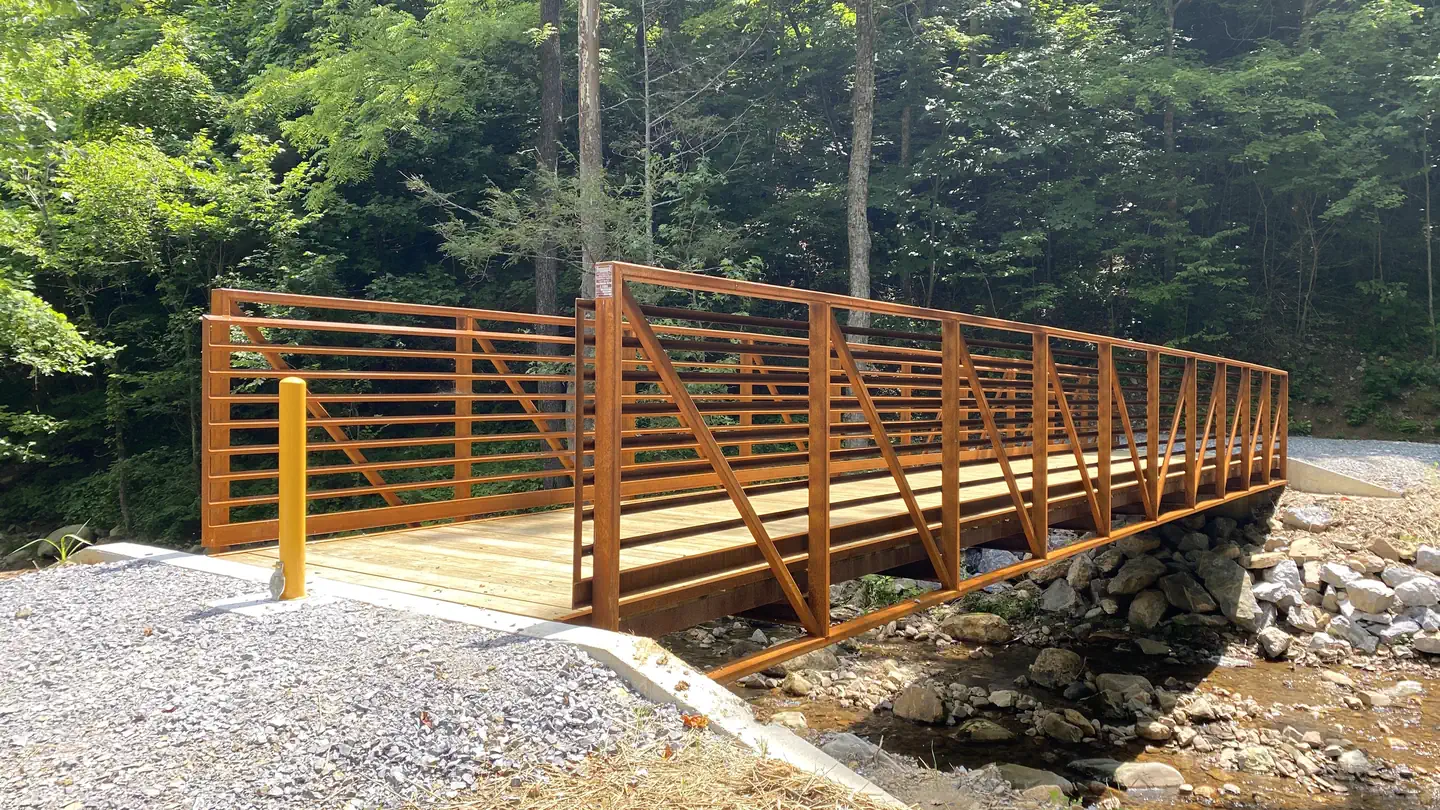
Katy Branch, a former Youth Conservation Corp Camp, is a private outdoor pavilion surrounded by beautiful Tennessee woodlands in the Cherokee National Forest.
More like this: reservable in Tennessee · group sites in Tennessee
Check availability on Recreation.gov ↗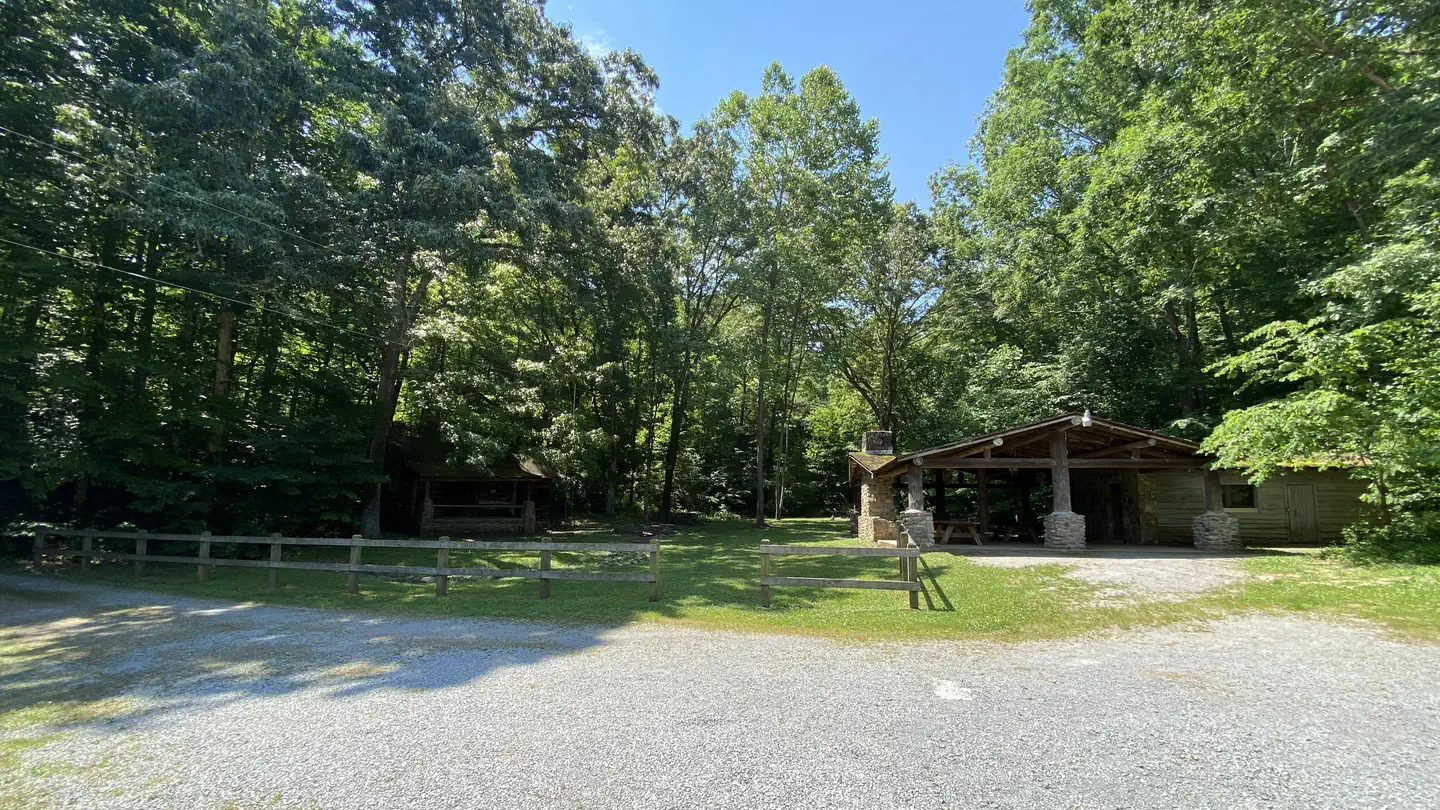
Site mix
| group standard area electric | 1 |
Site guide
1 site. Tap a filter to narrow the list; the map follows.
| Site | Surface | Shade | People / vehicles |
|---|---|---|---|
| Katy Branch | Gravel | Partial | 125 / 45 |
Per-site records as published by the managing agency on Recreation.gov. Blank cells mean the agency listed nothing for that site. Check-in 10:00 AM, checkout 11:00 PM.
Amenities & rules
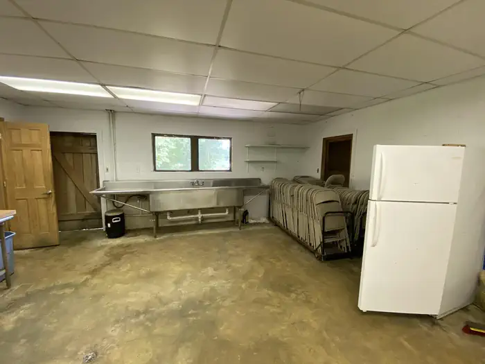
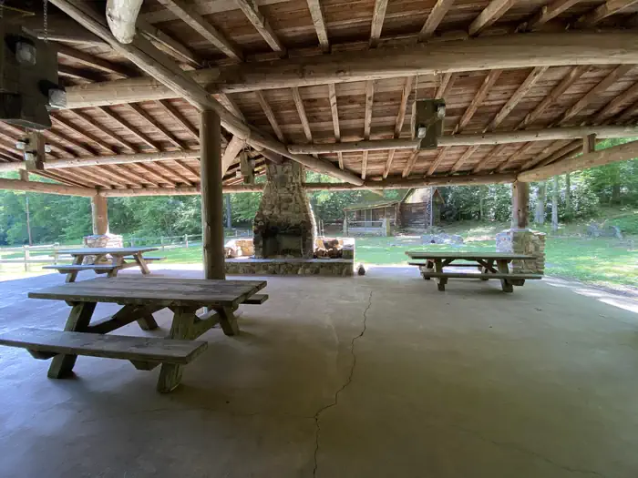
Rental facilities include an open pavilion with fireplace and three large picnic tables. The pavilion is attached to a building that contains two accessible restrooms and a "kitchen" area with stainless steel sink, microwave and refrigerator. A large outdoor charcoal grill and five folding tables and 80 folding chairs are also available with the rental. The pavilion is located about.5 miles on a gravel road, closed to the public.
Individual sites vary. Confirm on Recreation.gov or with the managing office.
Weather by month
Getting there
From Greeneville travel east to 11E to TN State Road 107. Travel approximately 14.5 miles to the gate at Katy Branch located on the right. (Landmarks will include Clark Creek Road on the right and Jackson Bridge Road on the left.) Unlock the gate and travel about.5 miles to the pavilion.
| Nearest town | Greeneville, Tennessee |
| Coordinates | 36.1754° N, 82.5274° W · Directions ↗ |
Good to know
- Though it is not located on the Nolichucky River, the river is only about.5 miles away.
Fire nearby
- PrescribedRx - Stone Mountain
16 mi from the campground
Distance is to the reported incident point, not the fire edge. Call the managing office before you drive.
Supplies & services
| Outdoor gear | Mahoney's Outfitters ↗ | 13.4 mi |
| RV sales & service | Bobs RV Body Shop & Service Center ↗ | 42.1 mi |
Locations © OpenStreetMap contributors. Call ahead; hours change seasonally.
Explore
Trails nearby
- 2.9 miHell Hollow Trail0.8 mi trail
- 3.3 miSill Branch North Trail0.5 mi trail
- 3.5 miLongarm Trail ↗4.5 mi trail
- 3.5 miSill Branch South Trail1.4 mi trail
- 3.6 miPatty Ridge Trail2.7 mi trail
- 5 miCalifornia Trail ↗4.5 mi trail
Trail and trailhead records are the Forest Service's. Distances are straight-line to the nearer trail end. Trail conditions are not tracked here.
Public land it sits in
Sampson Mountain Wilderness begins about 3.3 miles away, and it is the closest of these.
- 3.3 miSampson Mountain Wilderness ↗Wilderness · Forest Service · 10,895 acres
- 11.2 miUnaka Mountain Wilderness ↗Wilderness · Forest Service · 4,472 acres
- 12.1 miCherokee National Forest ↗National Forest · Forest Service · 1,228,298 acres
Each unit is published as a centre point and an acreage rather than a boundary, so this section stands it in for a circle of the same area. Whether a campground is inside, and how far it is from one it is outside, are both approximate.
Other campgrounds nearby

On the National Register nearby
- Clarksville Iron FurnaceSite · Erwin · 1.9 mi
- Salem Presbyterian ChurchBuilding · Washington College · 3.9 mi
- Thomas Telford HouseBuilding · Limestone · 4.9 mi
Natural features
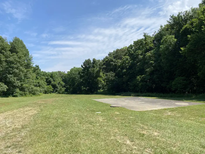
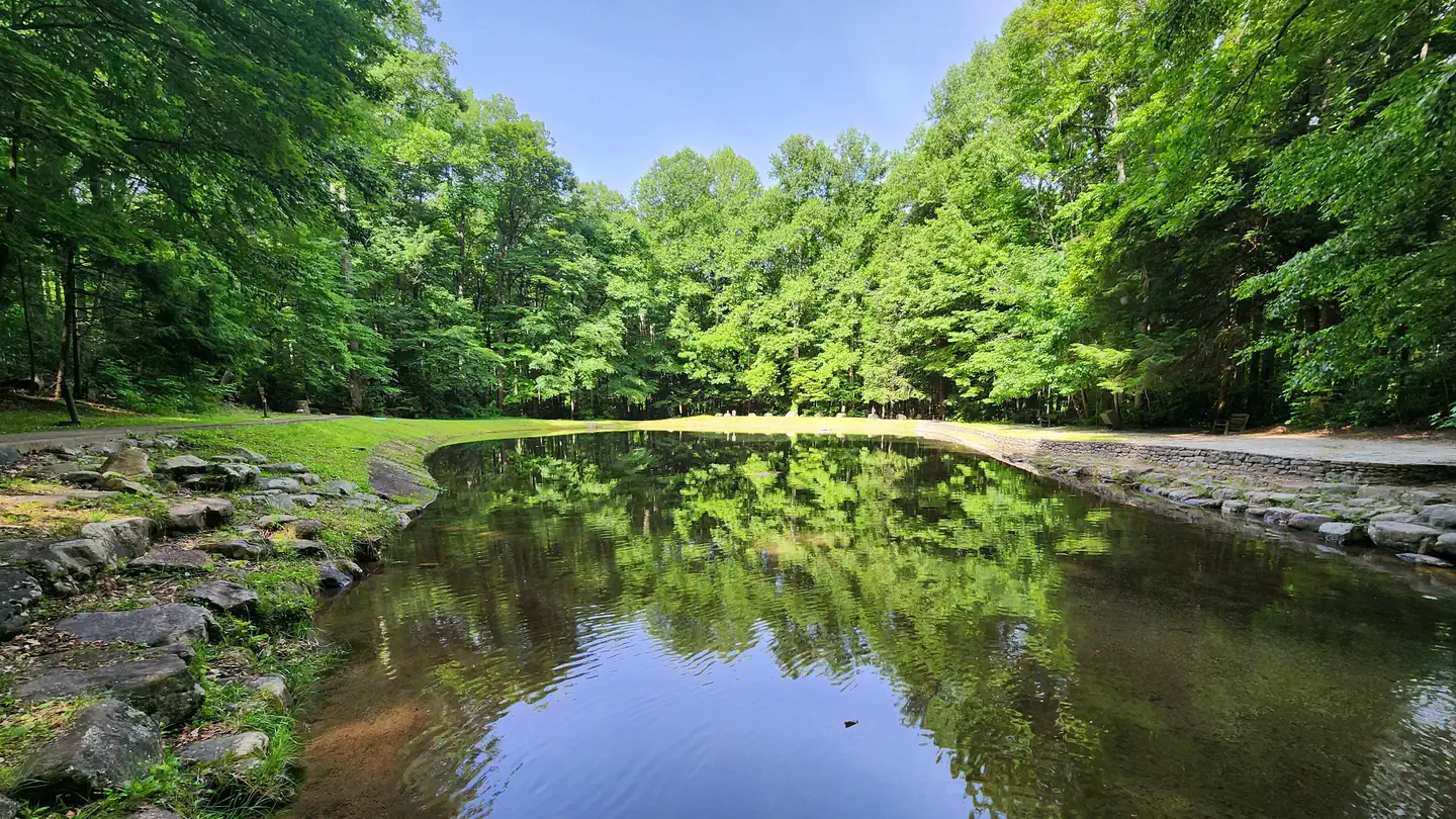
Katy Branch is located in open woodland. A more heavily forested area and an open area, part of which is used for parking, is adjacent to the pavilion area.
Recreation
Forested land is available for hiking and exploration and an open area is available for group activities.
Nearby
Katy Branch is located about half-way between the towns of Greeneville and Erwin.
Guidebooks for Cherokee National Forest and Tennessee
We earn a small commission if you buy through these links. It does not change what we list.
- Cherokee National Forest hiking guideWilliam H. Skelton and Lamar Alexander, 2024Find at Bookshop.org
- Campgrounds in and Around the Great Smoky Mountains National ParkGrueen Huffman, 2010Find at Bookshop.org
Titles come from Open Library's catalog, matched by subject heading or by title.
Reference
Questions people ask
Do I need a reservation at Katy Branch?
Sites at Katy Branch are reservable on Recreation.gov. Any walk-up sites are listed on the booking page.
Source: Recreation.gov
What time is check-in at Katy Branch?
Check-in 10:00 AM, checkout 11:00 PM.
Source: Recreation.gov
How many sites does Katy Branch have?
1 site, including 1 group standard area electric.
Source: Recreation.gov
What is the nearest town to Katy Branch?
Greeneville, Tennessee. Katy Branch is located about half-way between the towns of Greeneville and Erwin.
Source: Getting there
What if Katy Branch is full?
The nearest public campgrounds are Horse Creek Recreation Area (8.6 mi), Rock Creek Recreation Area (10.4 mi), and Old Forge Campground (10.4 mi, first-come).
Source: Campgrounds nearby