San Joaquin River Gorge Camping
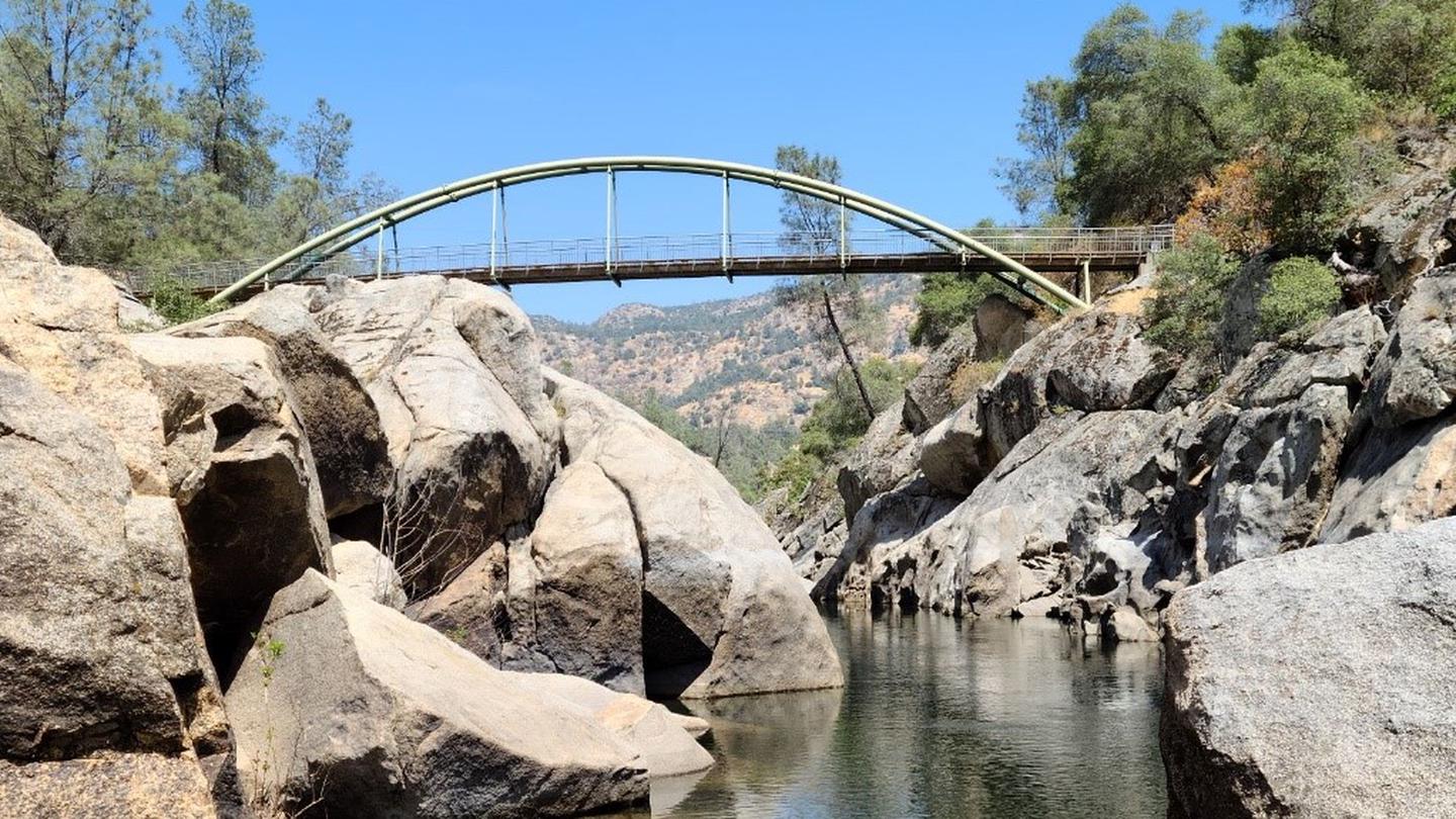
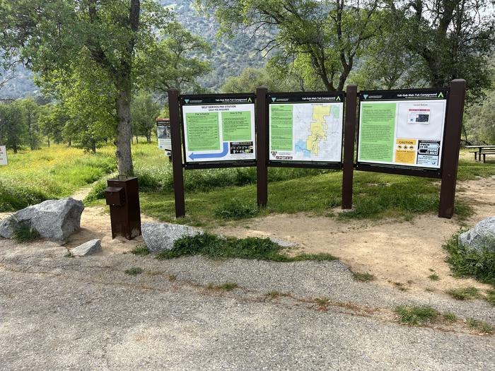
The scenic San Joaquin River Gorge Special Recreation Management Area straddles the San Joaquin River just upstream from Millerton Lake State Recreation Area and includes lands in both Fresno and Madera Counties. Multiple campground and day-use sites are available for your enjoyment, as well as over 20 miles of outstanding multi-use trails. Day use and camping fees can be paid in person with cash, or via Scan & Pay. Federal Interagency (America the Beautiful) Passes are also accepted for day use and can be purchased at our Visitor Center, which is open Friday - Sunday, 8 AM - 2 PM.
Sites are first-come, first-served. Recreation.gov lists this campground for paying on site, and you may be able to pay with the Scan and Pay feature of its app.
More like this: first-come in California · pets allowed in California
Site mix
| Walk-in | 5 |
| Equestrian | 3 |
Amenities & rules
| Pets | Allowed |
| Fees | Ya-Gub-Weh-Tuh. Single Campsite: $10 per night. Double Campsite: $15 per night. Equestrian Campground. $25 per night |
Each campsite has a picnic table and fire pit / grill. There is a double accessible vault toilet located at Ya-Gub-Weh-Tuh, and a portable restroom at the Equestrian Campground. Each campground has potable water.
Individual sites vary. Confirm on Recreation.gov or with the managing office.
Weather by month
Getting there
40060 Smalley Road, Auberry, California. The San Joaquin River Gorge Recreation Area is located approximately five (5) miles northwest of the town of Auberry. Google Maps accurately locates the visitor center. From Fresno, take CA-168 north. One mile after the town of Prather, turn left onto Auberry Road.
| Nearest town | Auberry, California |
| Area | Recreation.gov lists no exact point for this campground. The recreation area is at 35.44° N, 119.08° W. Call the office before you drive. |
Good to know
- Target shooting is not allowed in the recreation area.
Fire nearby
- WildfireCyrus
41 mi from the campground · 543 acres · 95% contained
Distance is to the reported incident point, not the fire edge. Call the managing office before you drive.
Explore
Natural features
The San Joaquin River Gorge is located in the Sierra Nevada Foothills at approximately 1000' elevation. The area is primarily oak woodland, with some gray pines as well. On either side of the San Joaquin River, there is a scenic table mountain system.
Recreation
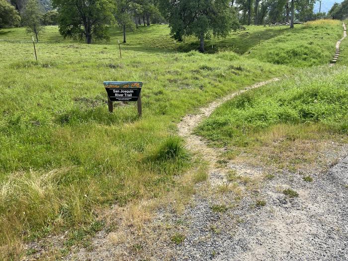
The San Joaquin River Gorge trail system is our most popular recreation feature. The 20+ miles of trails are all multi use and non-motorized: open to hikers, mountain bikers, and equestrian use. Most of our trails are located at the main trailhead and campground Ya-Gub-Weh-Tuh. There are 5 walk-in campsites located at Ya-Gub-Weh-Tuh, and 3 campsites located at the Equestrian Campground, which is suited for trailers and car camping. Hunting is allowed in the recreation area, with an exclusion zone around the developed campground areas.
Nearby
The San Joaquin River Gorge is located in the Sierra Nevada Foothills, just a short drive from the Sierra National Forest. The SJRG is also located approximately half way between Yosemite National Park and Sequoia / Kings Canyon National park, approximately 2 hours to each.
Guidebooks for California
We earn a small commission if you buy through these links. It does not change what we list.

Titles come from Open Library's catalog, matched by subject heading or by title.
Reference
Questions people ask
Do I need a reservation at San Joaquin River Gorge Camping?
No. San Joaquin River Gorge Camping is first-come, first-served. Sites are taken on arrival and paid at the fee station.
Source: How first-come camping works
How much does it cost to camp at San Joaquin River Gorge Camping?
Ya-Gub-Weh-Tuh. Single Campsite: $10 per night. Double Campsite: $15 per night.
What time is check-in at San Joaquin River Gorge Camping?
Check-in 12:00 PM, checkout 12:00 PM.
How many sites does San Joaquin River Gorge Camping have?
8 sites, including 5 walk-in sites and 3 equestrian sites.
Source: Site mix
Are pets allowed at San Joaquin River Gorge Camping?
Yes, pets are allowed at San Joaquin River Gorge Camping. Leash rules apply.
What is there to do at San Joaquin River Gorge Camping?
The San Joaquin River Gorge trail system is our most popular recreation feature. The Recreation section on this page has the rest.
Source: Recreation
What is the nearest town to San Joaquin River Gorge Camping?
Auberry, California. The San Joaquin River Gorge is located in the Sierra Nevada Foothills, just a short drive from the Sierra National Forest.
Source: Getting there