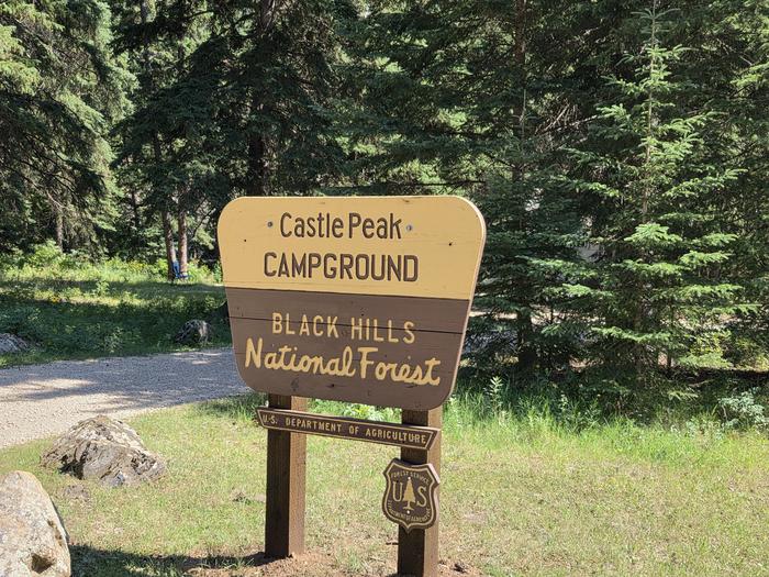
Castle Peak Campground
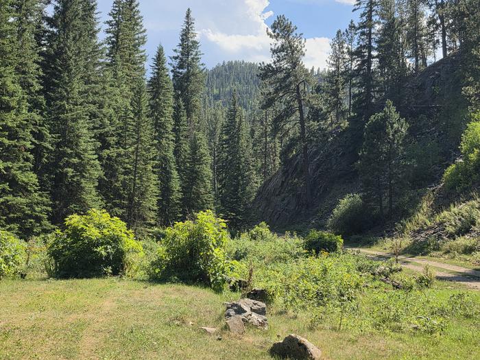
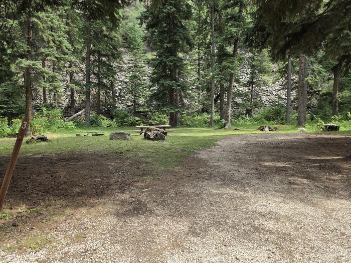
Castle Peak Campground is a quiet, remote nine site campground situated in a scenic canyon shaded by large spruce trees along Castle Creek.
More like this: reservable in South Dakota · pets allowed in South Dakota
Check availability on Recreation.gov ↗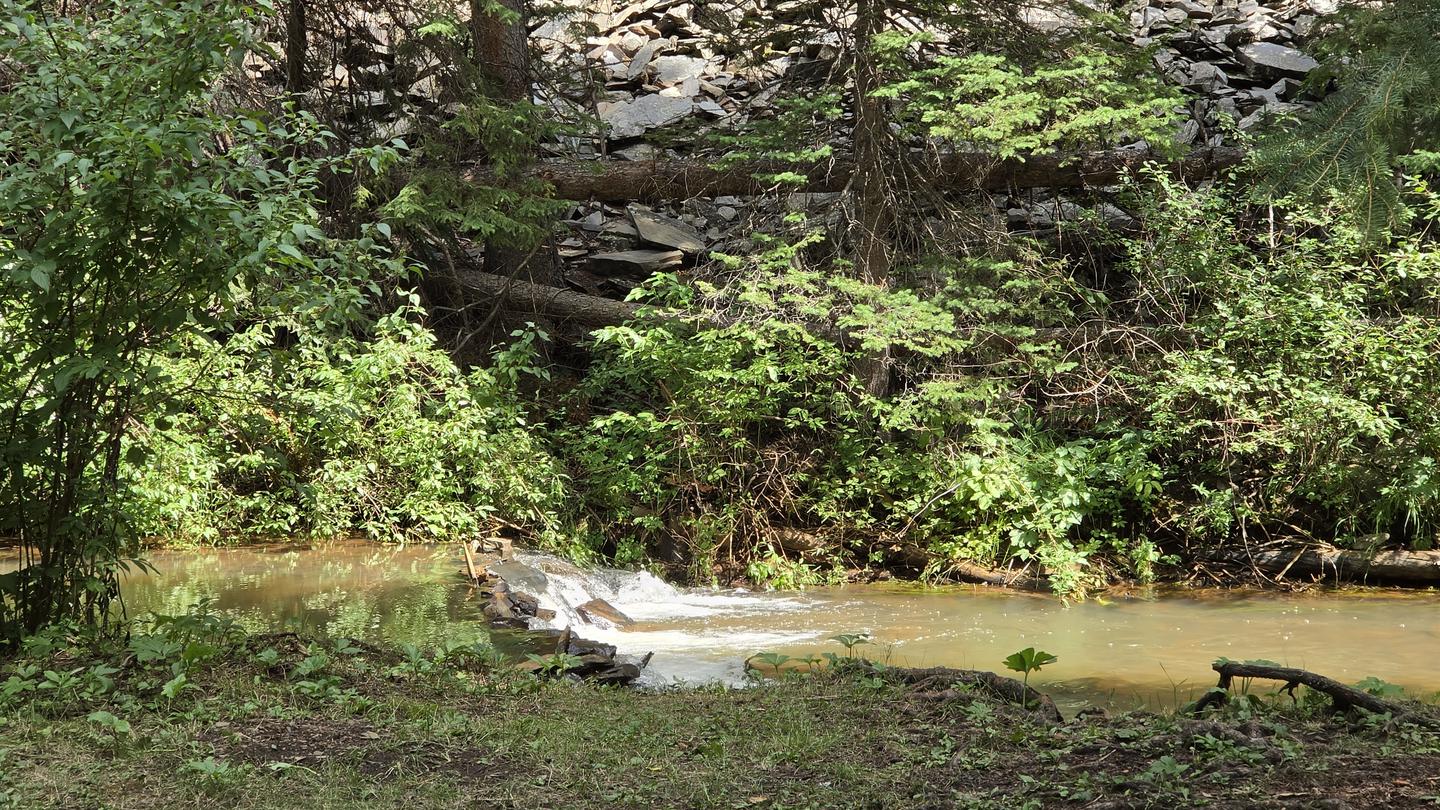
Site mix
| RV, no hookups | 9 |
Site guide
9 sites. Tap a filter to narrow the list; the map follows.
| Site | Shade | Water / sewer | Waterfront | People / vehicles | Fires |
|---|---|---|---|---|---|
| 1 | Partial | No / No | Riverfront | 5 / – | Yes |
| 2 | Partial | No / No | Riverfront | 5 / – | Yes |
| 3 | Partial | No / No | Riverfront | 5 / – | Yes |
| 4 | Partial | No / No | Riverfront | 5 / – | Yes |
| 5 | Partial | No / No | Riverfront | 5 / – | Yes |
| 6 | Partial | No / No | Riverfront | 5 / – | Yes |
| 7 | Partial | No / No | Riverfront | 5 / – | Yes |
| 8 | Partial | No / No | Riverfront | 5 / – | Yes |
| 9 | Partial | No / No | Riverfront | 5 / – | Yes |
Per-site records as published by the managing agency on Recreation.gov. Blank cells mean the agency listed nothing for that site. Check-in 2:00 PM, checkout 1:00 PM.
Amenities & rules
| Pets | Allowed |
| Campfires | Allowed, subject to restrictions |
Individual sites vary. Confirm on Recreation.gov or with the managing office.
Season & status
| Season | January |
| Forest | Black Hills National Forest |
| Fees | Regular Season: $22/night --- See Off-Season Information |
| Rules | Last 8 miles on 181 is rough and narrow. |
Weather by month
Getting there
From Hill City travel west on Deerfield Road for 5 miles. Stay straight and follow Mystic Road for 8 miles to Castelton. Turn left (west) onto National Forest Service Road (NFSR) 181 and travel 8 miles to the campground. From Rochford travel west on NFSR 231 for half a mile, then turn south onto South Rochford Road.
| Area | Recreation.gov lists no exact point for this campground. The recreation area is at 44.06° N, 103.74° W. Call the office before you drive. |
Explore
Video
South Dakota's Williams Draw and Castle Peak Campground
Guidebooks for South Dakota and camping across the country
We earn a small commission if you buy through these links. It does not change what we list.
Titles come from Open Library's catalog, matched by subject heading or by title.
Reference
Questions people ask
Do I need a reservation at Castle Peak Campground?
Sites at Castle Peak Campground are reservable on Recreation.gov. Any walk-up sites are listed on the booking page.
Source: Recreation.gov
How much does it cost to camp at Castle Peak Campground?
Regular Season: $22/night --- See Off-Season Information
Source: Recreation.gov
What time is check-in at Castle Peak Campground?
Check-in 2:00 PM, checkout 1:00 PM.
Source: Recreation.gov
How many sites does Castle Peak Campground have?
9 sites, including 9 RV sites without hookups.
Source: Recreation.gov
Are pets allowed at Castle Peak Campground?
Yes, pets are allowed at Castle Peak Campground. Leash rules apply.
Source: Recreation.gov
Can I have a campfire at Castle Peak Campground?
Fires are allowed in the provided rings under normal conditions. Last 8 miles on 181 is rough and narrow.
Source: Recreation.gov